Almora District 1
The pictures shown in this folder come from a trip up from Pantnagar, on the Ganges Plains, to the temples at Jageshwar. The mountain scenery is spectacular, even though it's just Himalayan foothills. The local agriculture is even more spectacular.
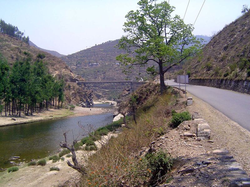
The highway shortly after the beginning of the climb. This stretch is a shortcut that misses Naini Tal and heads more or less straight (less, actually) from Jeolikote to Bhowali.
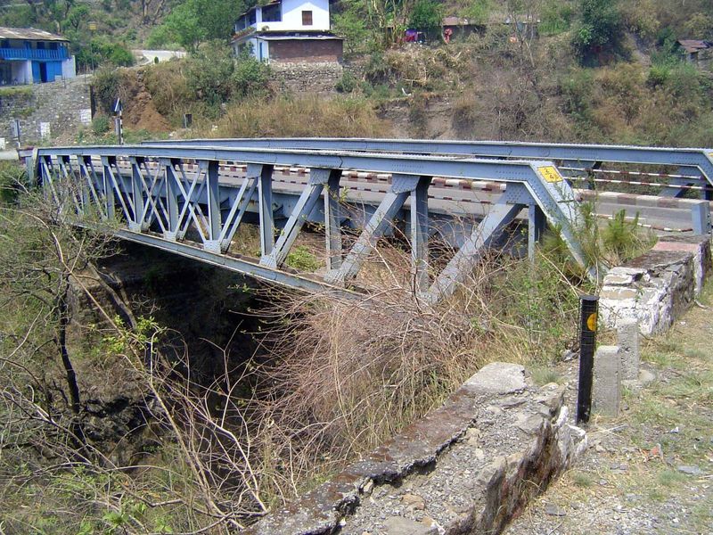
Can you date the bridge over the Bola River?
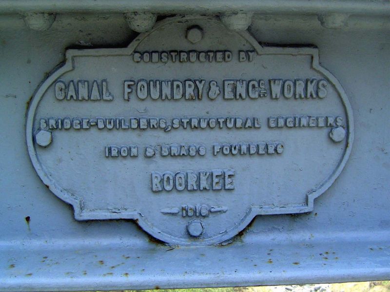
Sure you can. Roorkee, a town at the start of the Ganges Canal, was an engineering center during the British era. There's an Indian Institute of Technology there now.
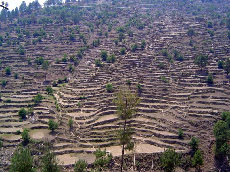
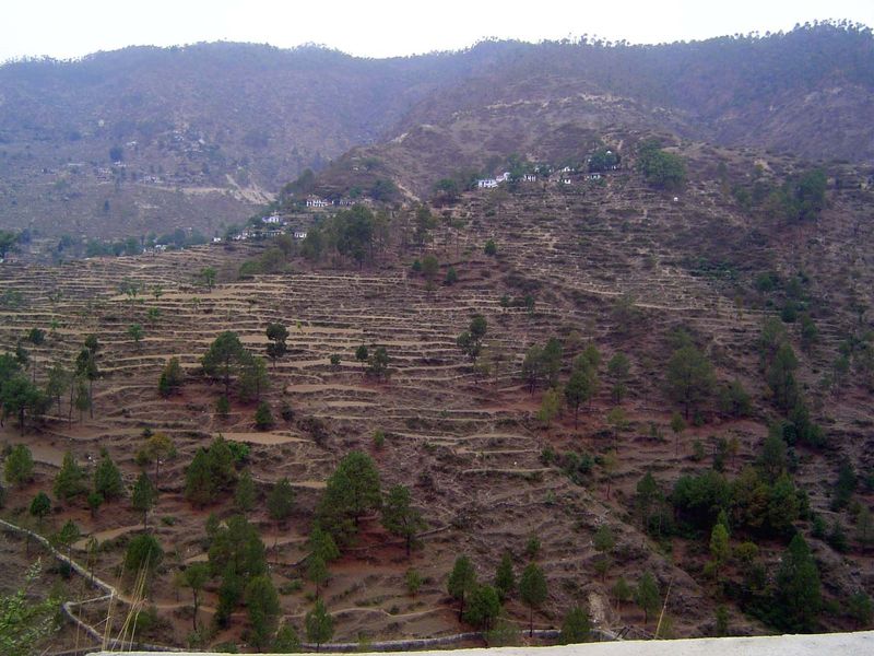
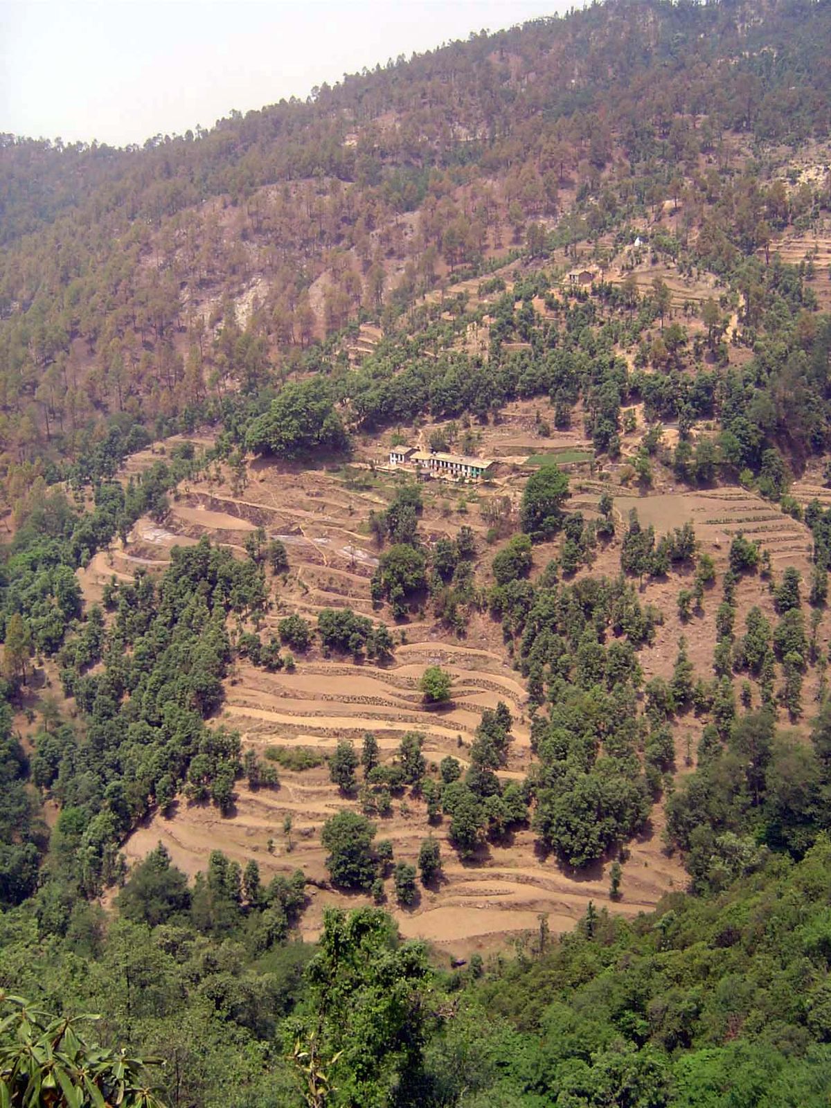
The terracing in these hills is mostly wheat and rice grown without irrigation during the monsoon.
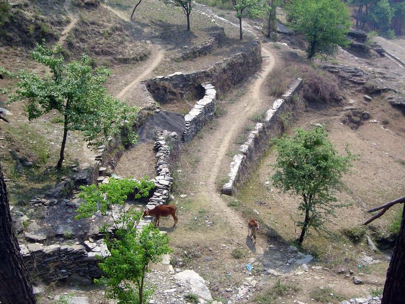
The terraces don't require a pathway for water from step to step; they do require a huge amount of labor.
The path in the foreground is the way to the village in the distance.
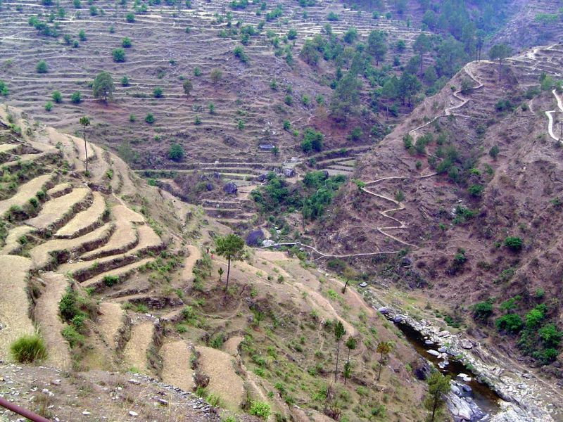
Another access path, one that drops down a valley wall, crosses the river, then starts up again.
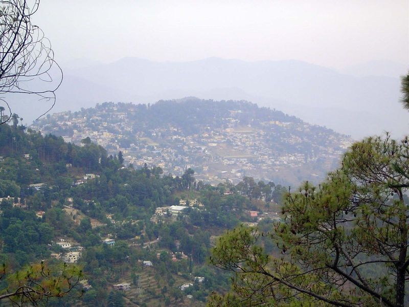
Almora Town.
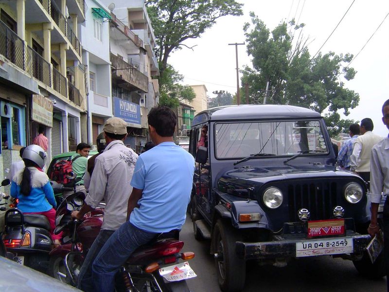
The mall, a mile-long study in gridlock.
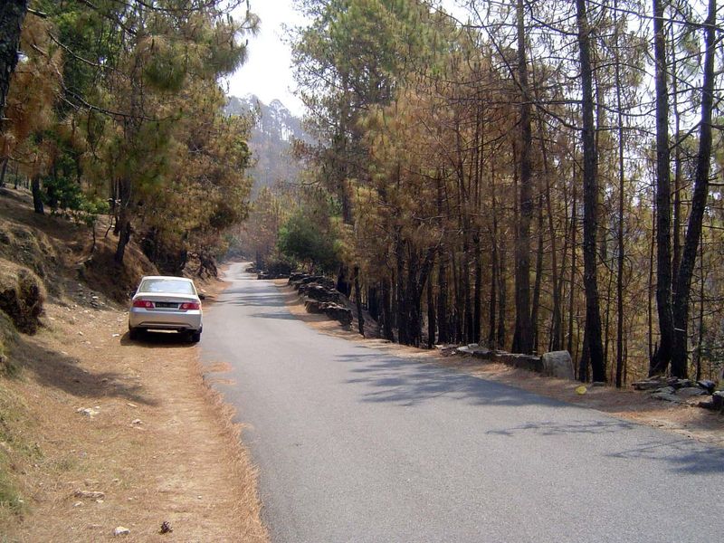
East of Almora Town, most of the mountains are forested in pine. Despite the apparent solitude, there's a surprising amount of traffic, especially minivans that serve as group taxis.
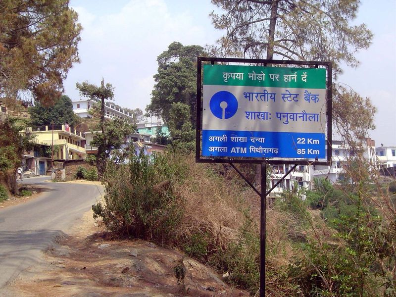
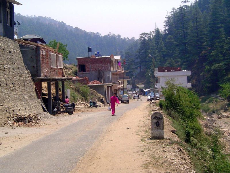
The approach to Panuwanaula, a locally important town with its own branch bank—and a sign helpfully directing motorists to the nearest ATM.
The forest is especially dense around the Jageshwar complex, which is probably why the temples are here in the first place.
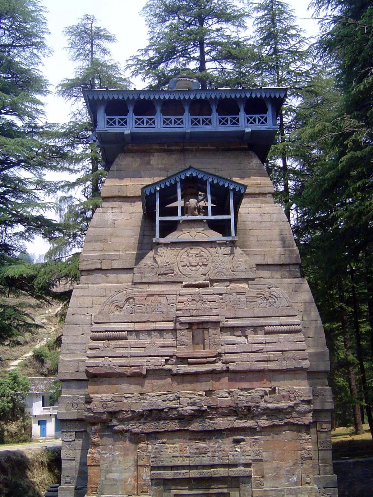
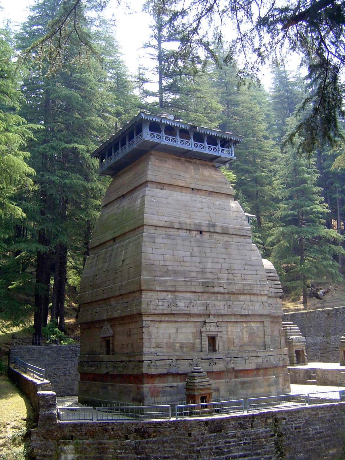
This is Dandeshwara, a temple built in the 10th Century atop a natural rock outcrop.
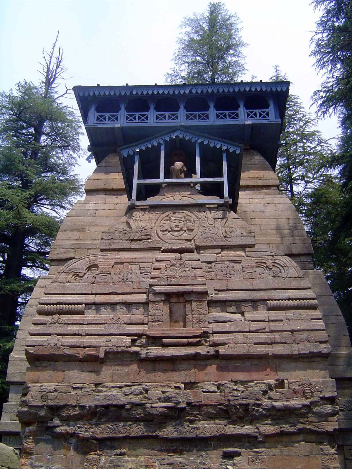
Close-up.
The Jageshwar Temple proper is nearby, at the end of this dead-end road.
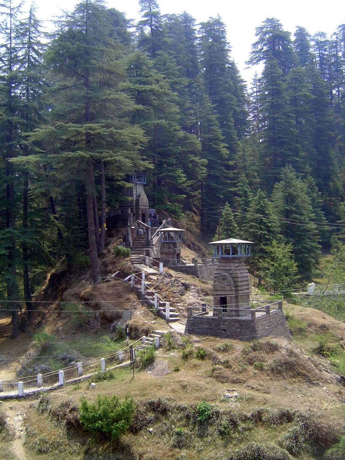
Another subsidiary cluster, also from the 10th century.
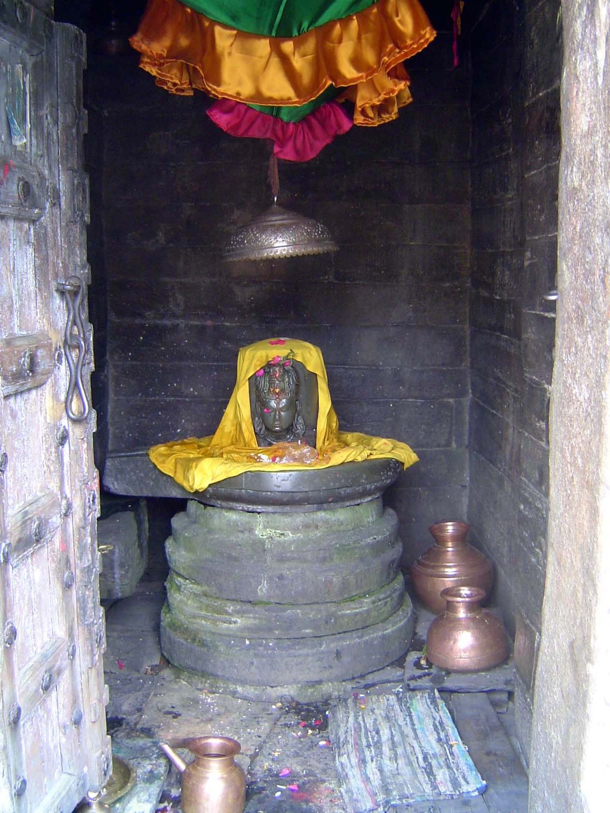
These are Kuber or Kubera temples, dedicated to Kuber, the chief yaksha or forest sprite, who serves also as the guardian of the north.
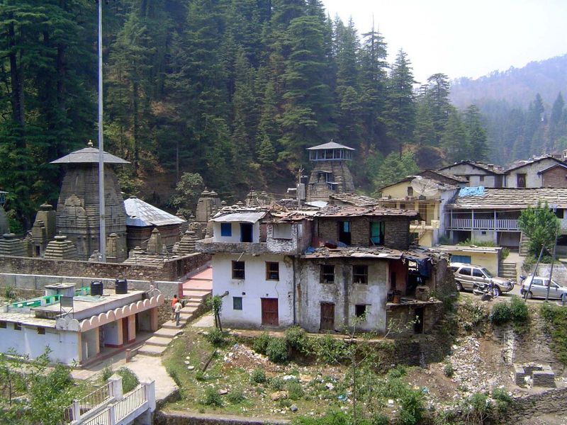
And here, cheek-to-jowl against the tourist center, is the Jageshwar complex proper.
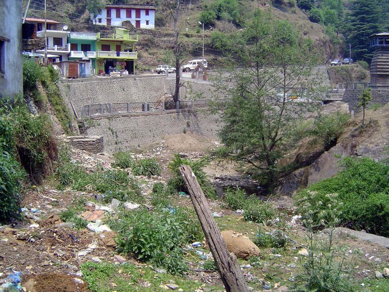
It displays some of the worst signs of tourist centers.
Looking for all the world like a solitary Greek temple, this is a village built as row-housing and set amidst its fields, where it awaits the rains due shortly. Seen from the road to Old Jageshwar.
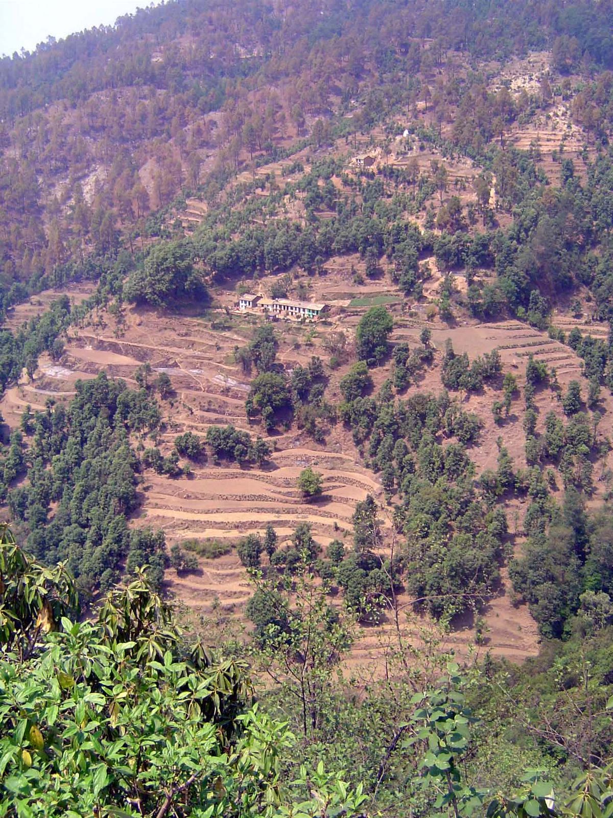
The fields are fertilized with ash and irrigated with spring water.
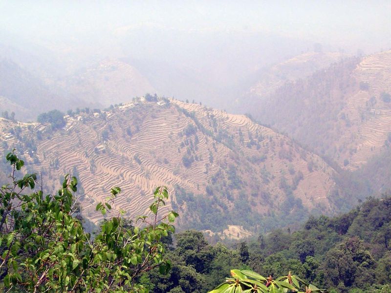
An even more spectacular village, perched on a knife-edged ridge. In The Social Economy of the Himalaya (1935), S.D. Pant wrote, "The villages are as a rule situated on spurs running from the middle and lower levels of the ridges, in the midst of the cultivated fields. Such sites are neither too hot and damp, like the low-lying land near the river banks, nor too cold, like the hill-tops.... The villages generally are found in a chain. All of those which are situated on a common ridge belong to a common stock, which points to their tribal origin...." (p. 74).
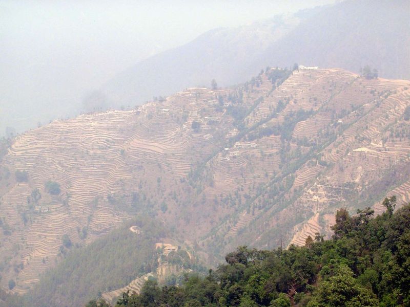
Seen from the other side of the ridge and spectacular despite the haze.
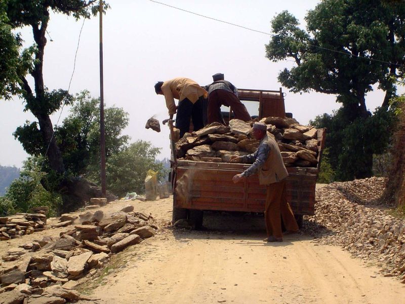
A delivery truck, carrying coals to Newcastle.