Puno and Pomata
Heading east out of Arequipa on Route 34A.
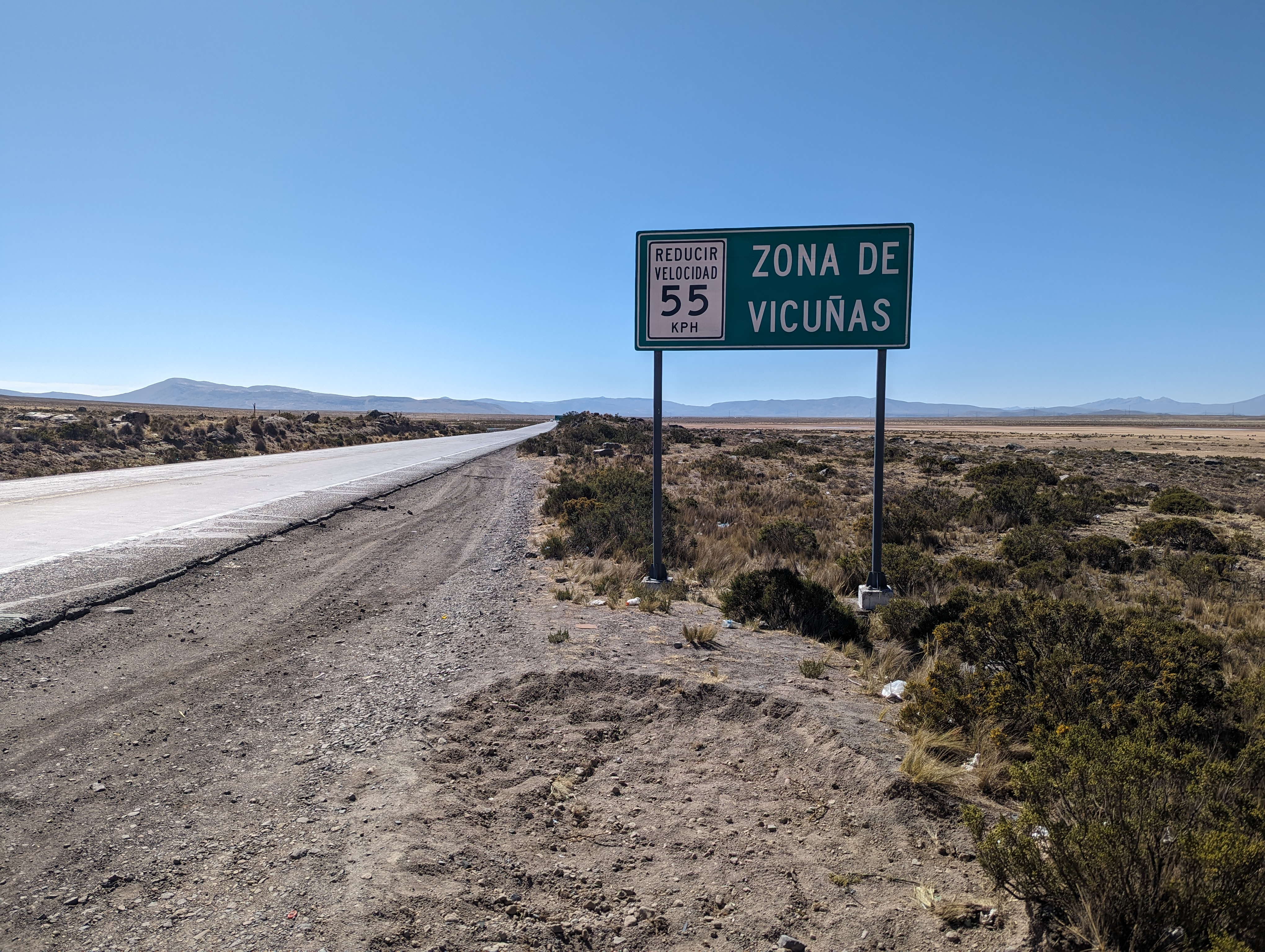
We've climbed up to about 4300 meters and are crossing the Salinas Aguada Blanca national reserve.
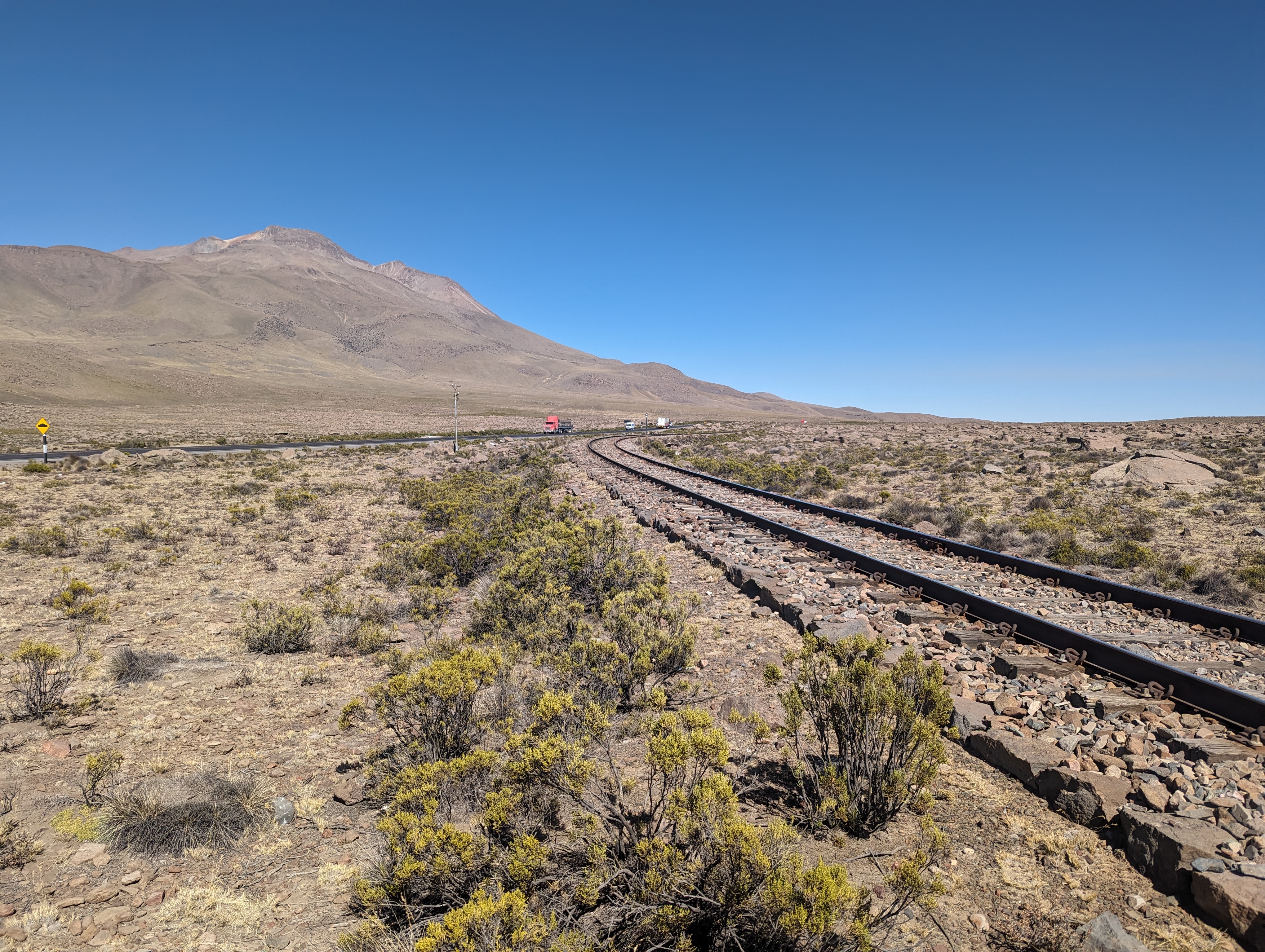
The Southern Peru Railroad preceded the highway.
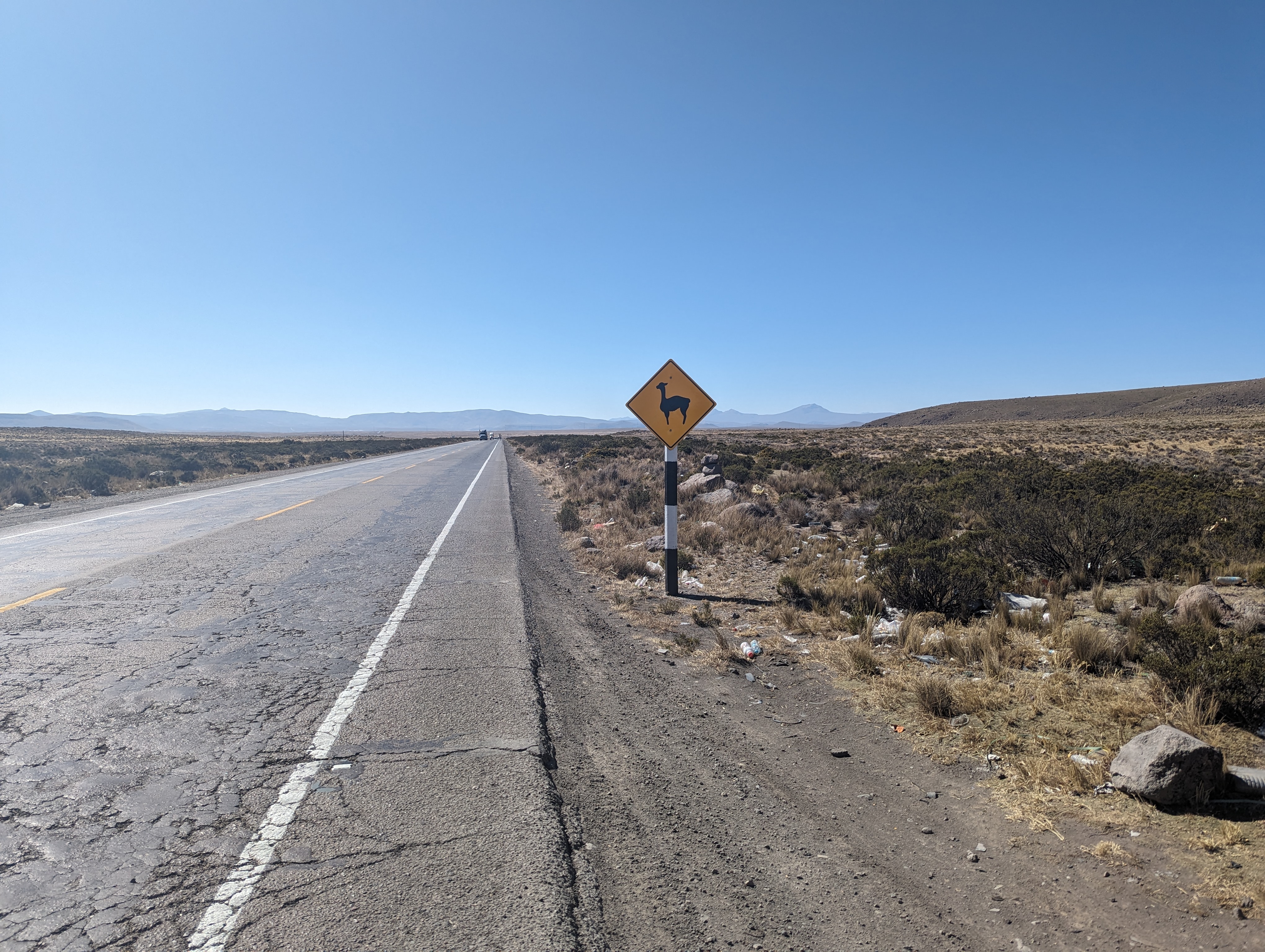
Will we see any?
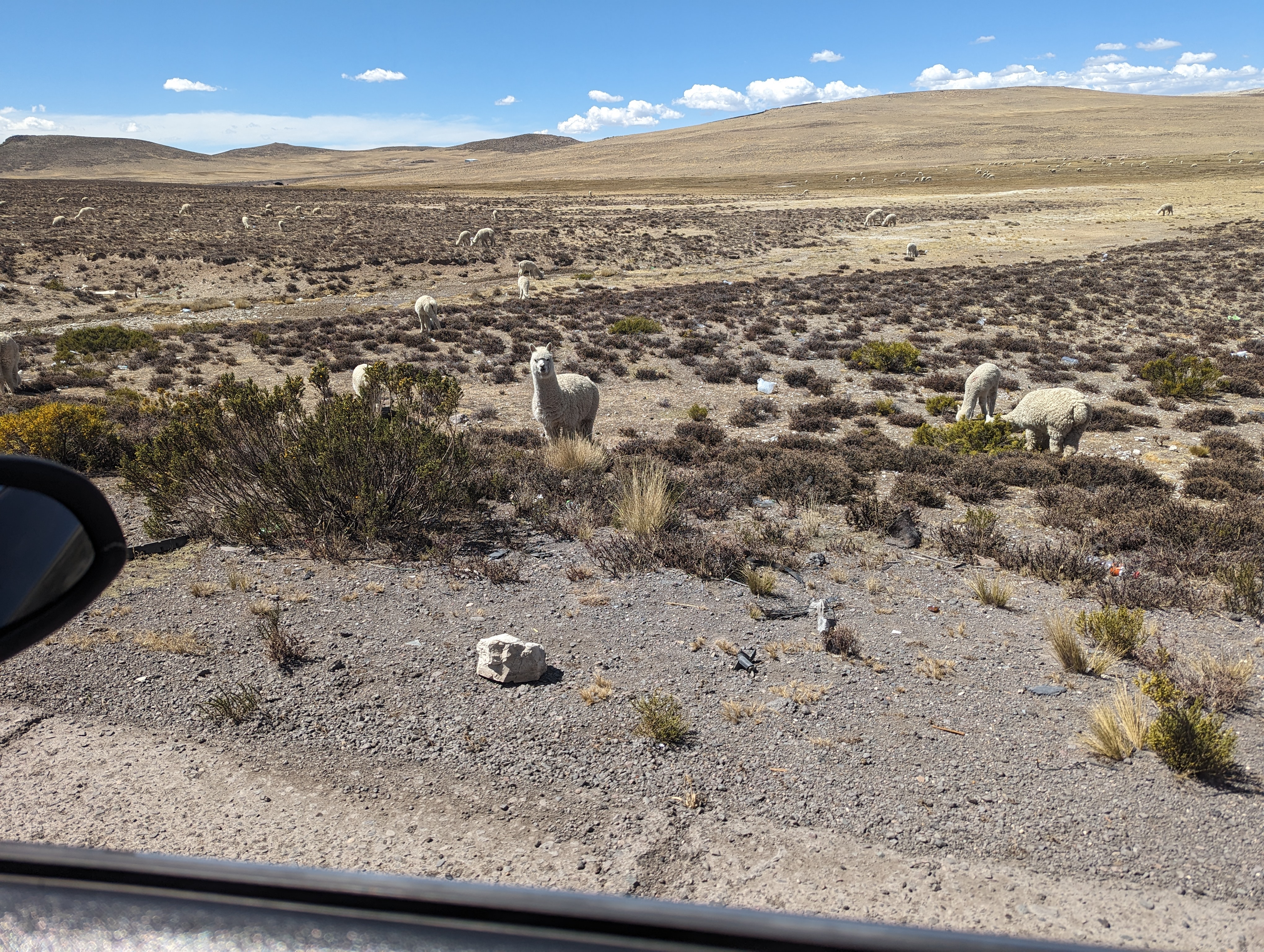
Your answer.
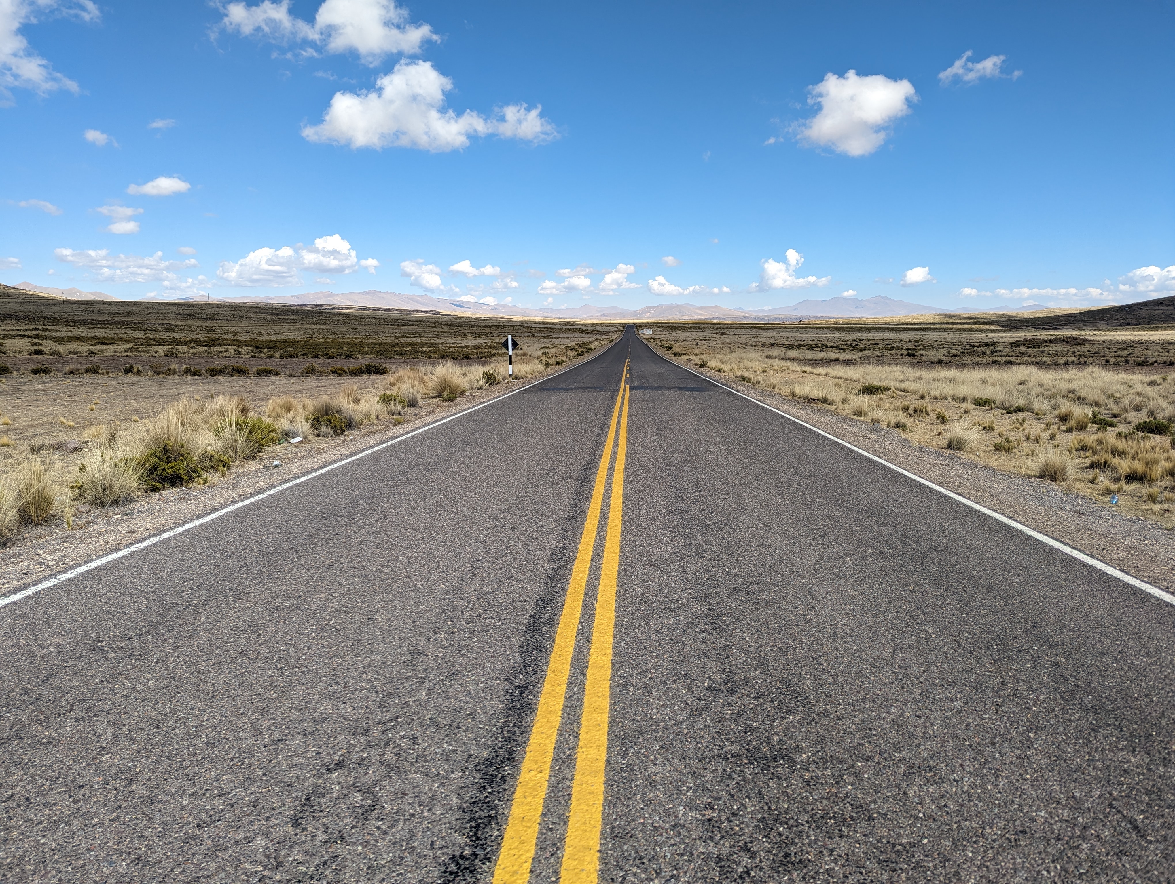
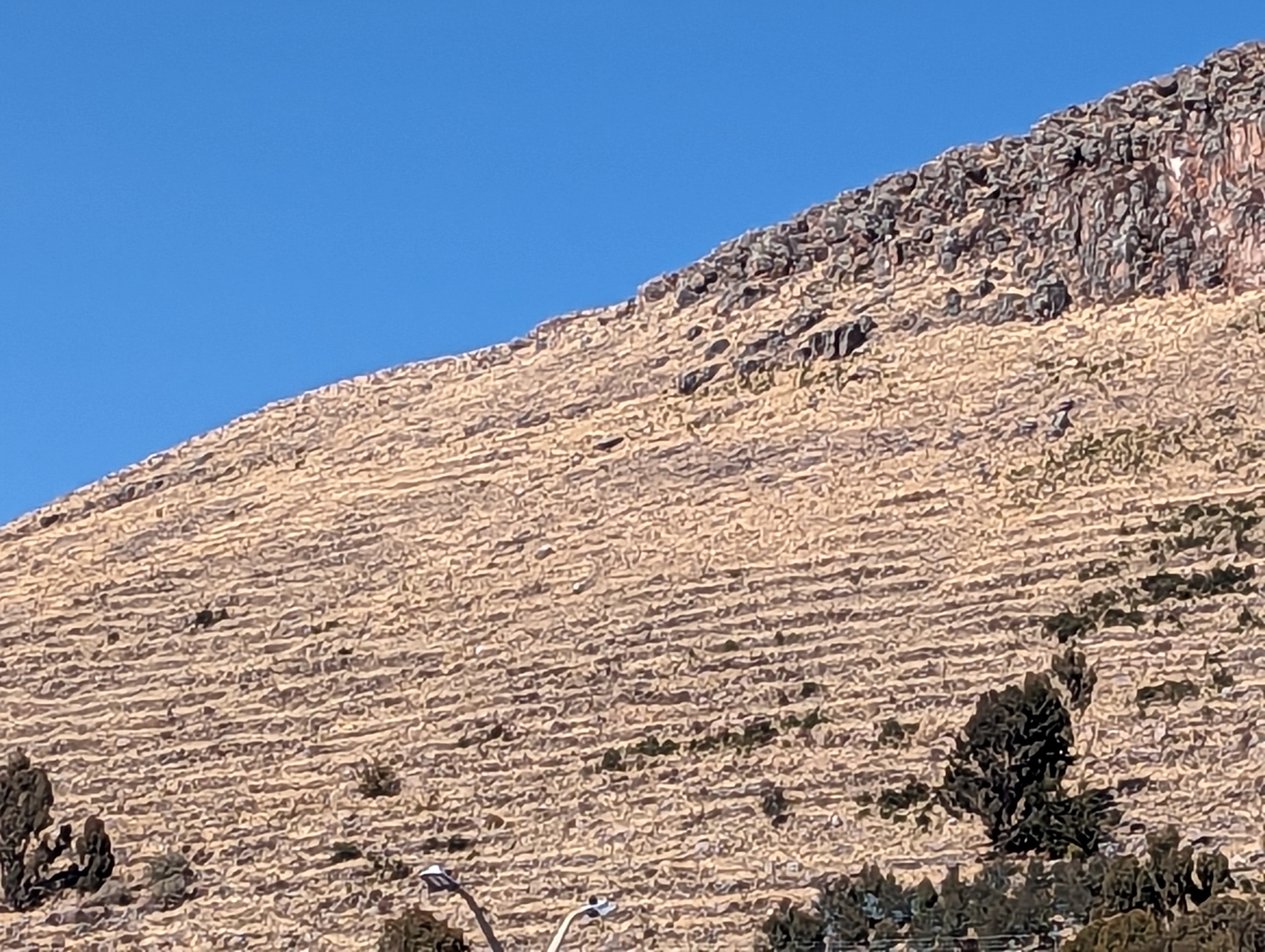
Looks like the American Southwest.
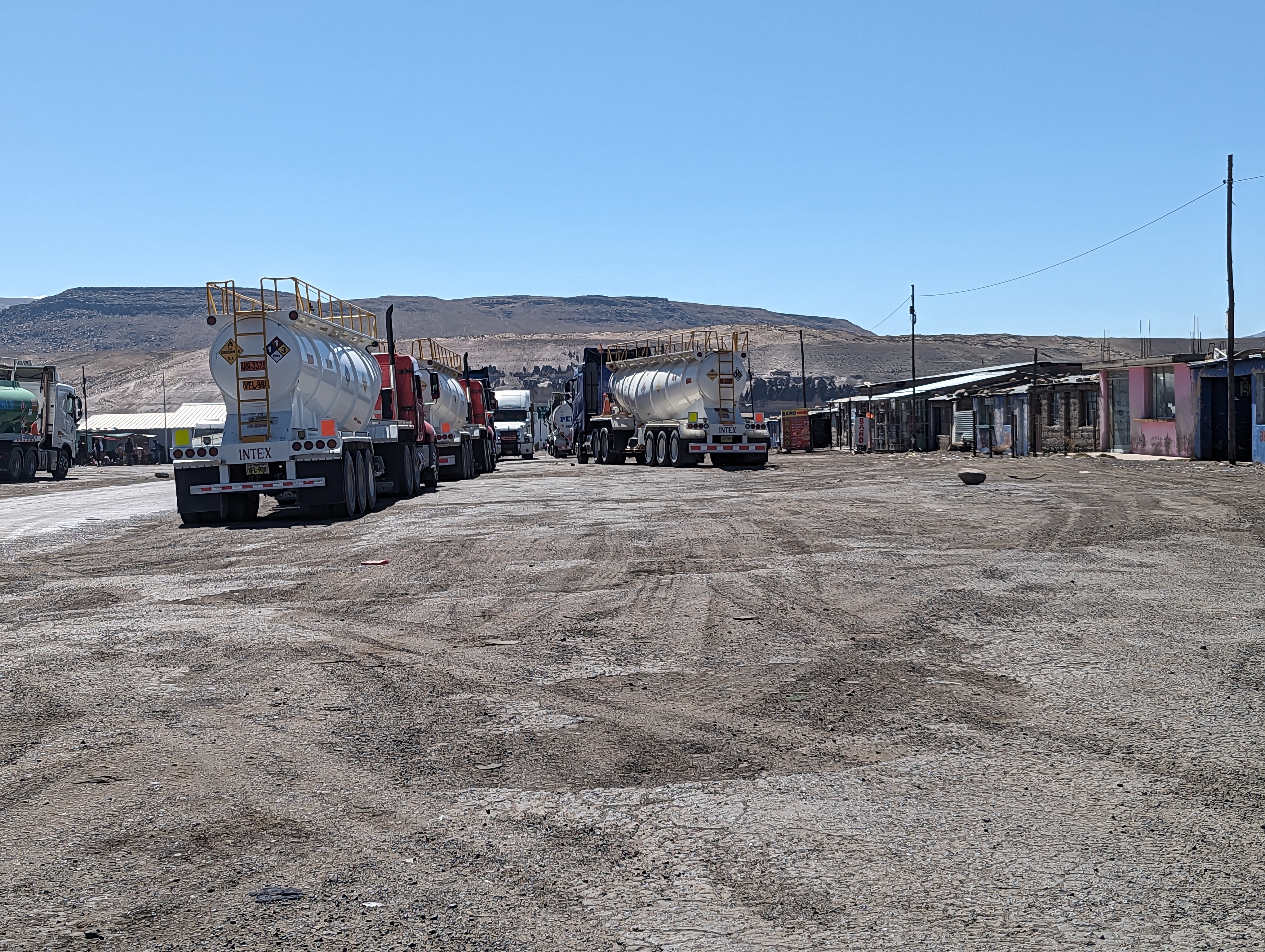
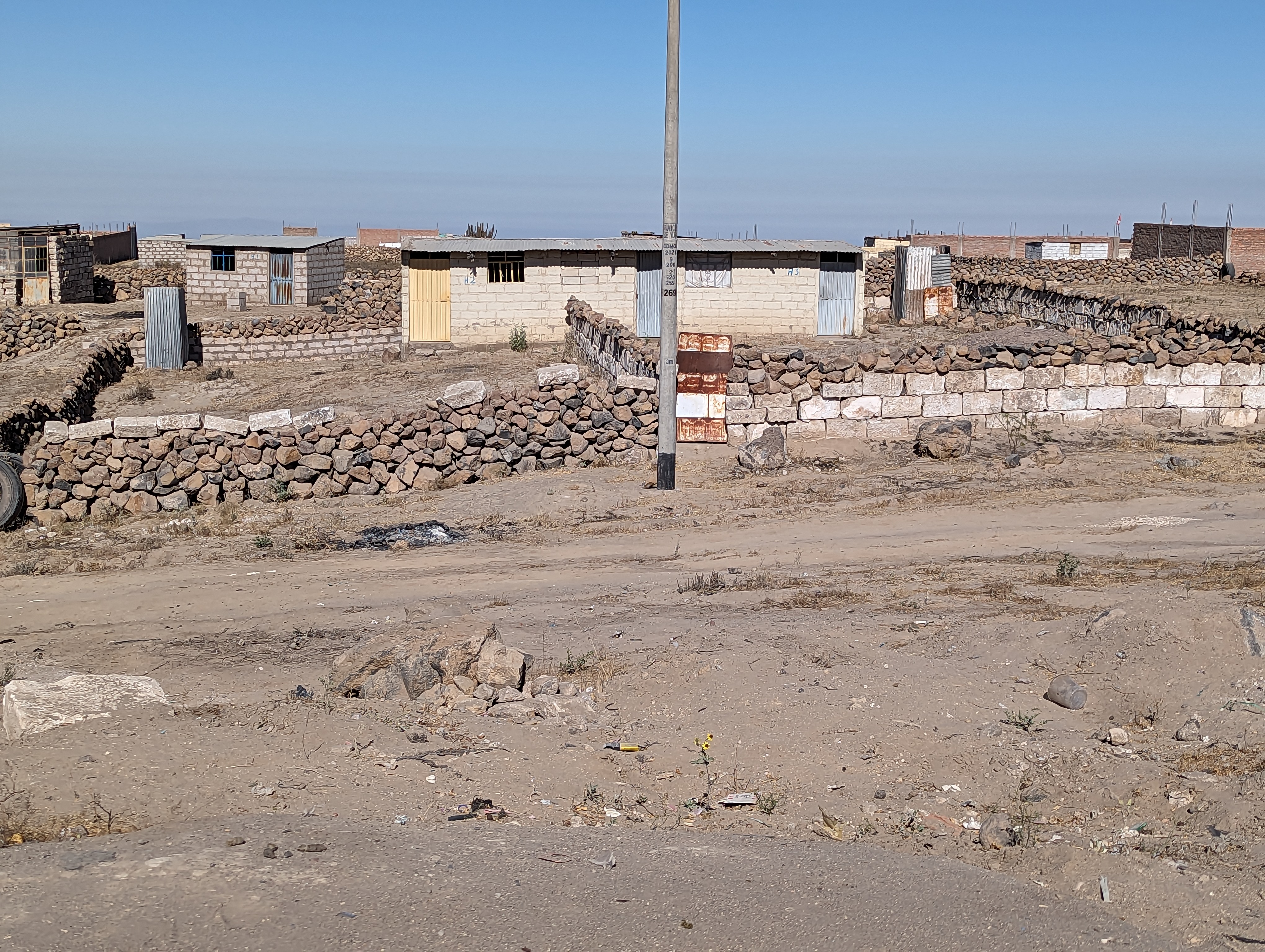
Settlements up here are few and far between. Here's Imata. Most of the traffic on the road is trucks.
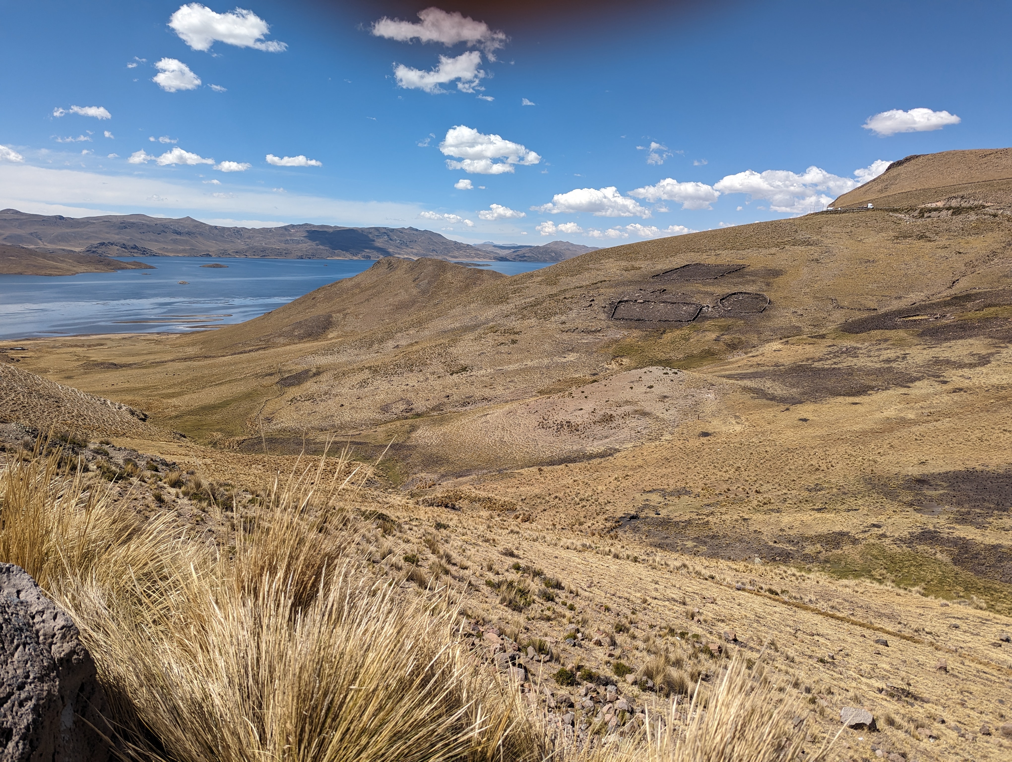
We've crossed into the Lake Titicaca watershed, corresponding to the Altiplano. This is Laguna Lagunillas, which drains to Titicaca.
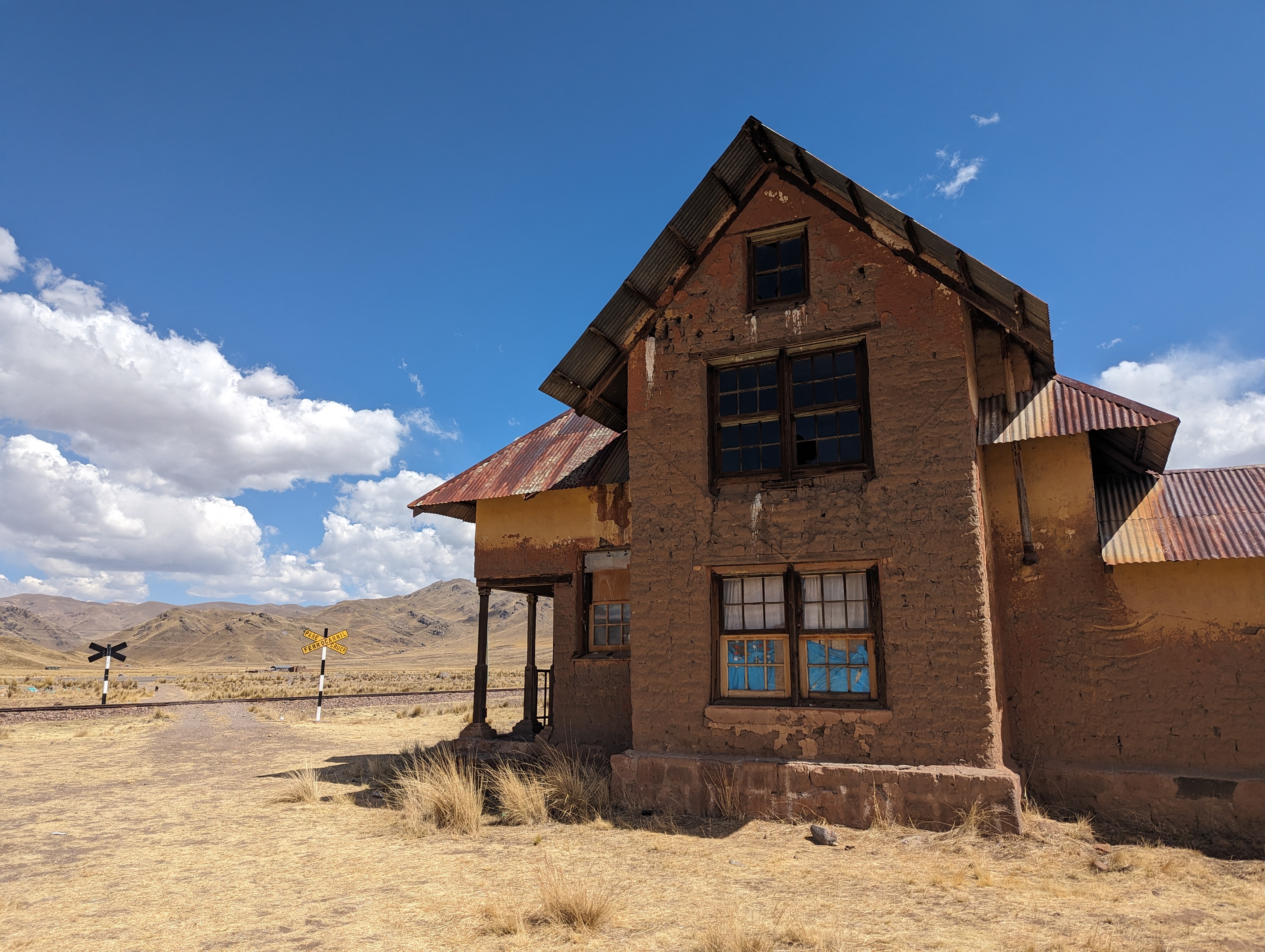
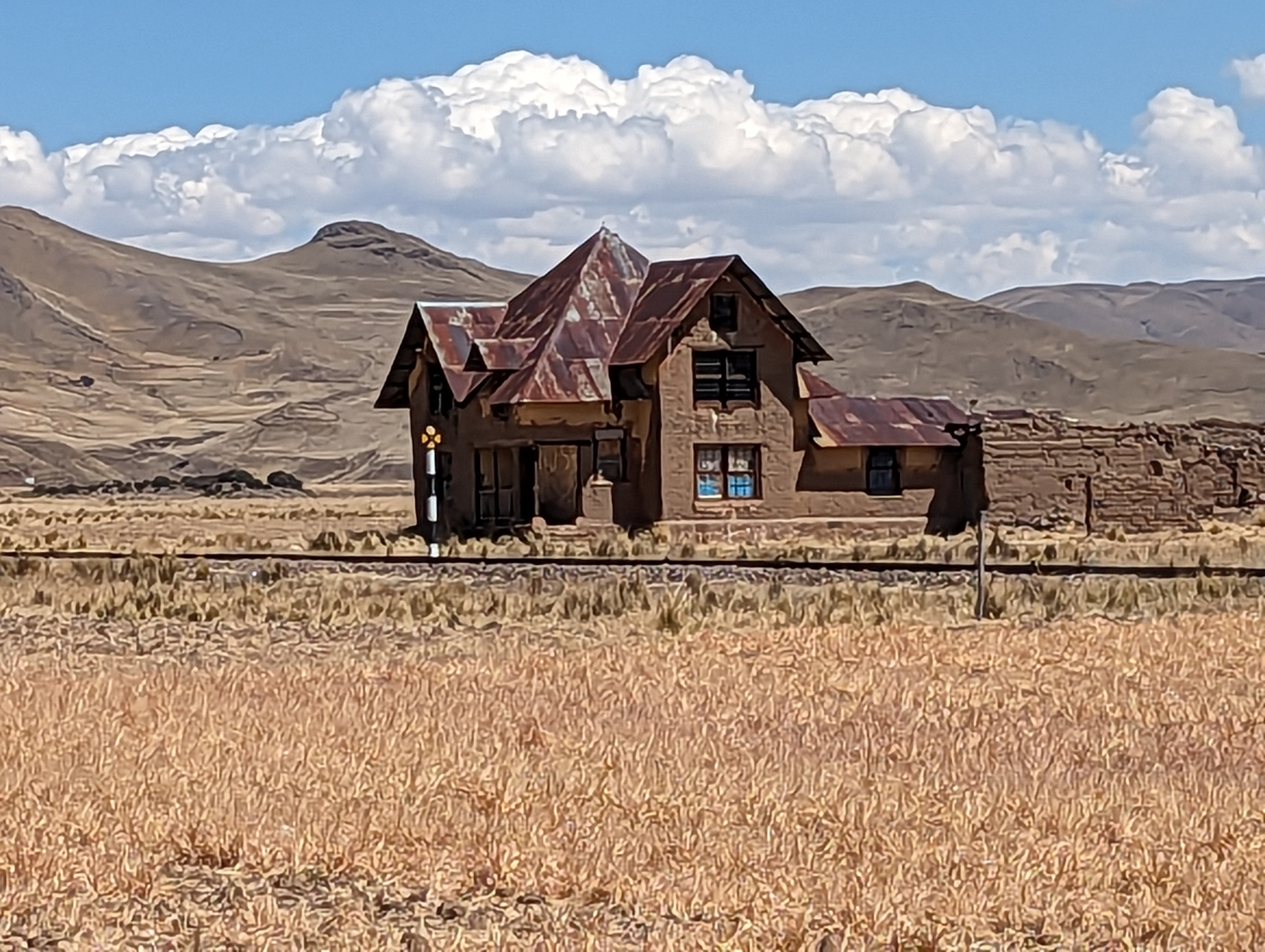
House for sale near Santa Lucia: it's known locally as La Casita Embrujada, the "haunted cottage." It's made of adobe blocks.
If you believe the gossip, an Englishman owned the place and murdered his wife here.
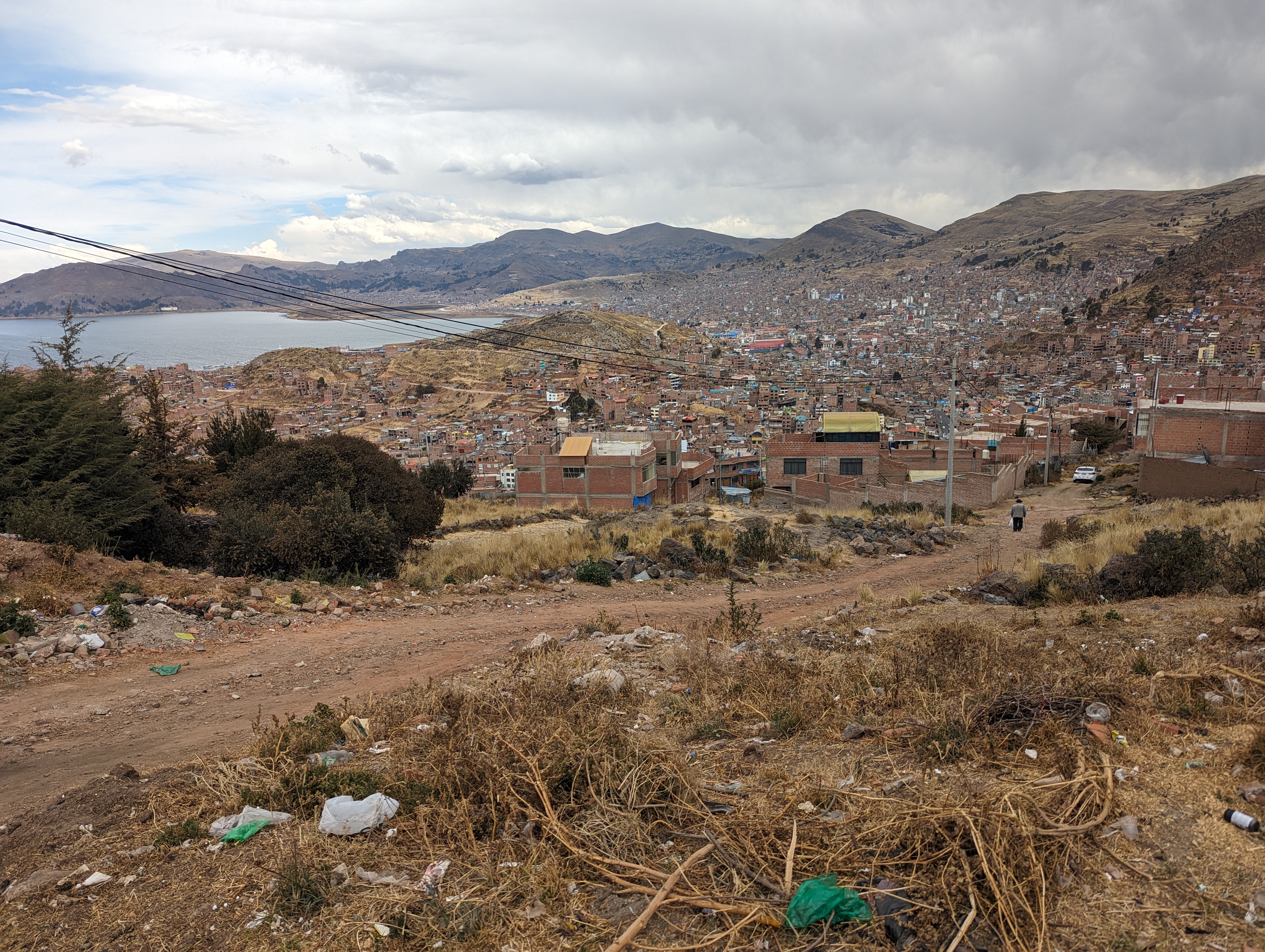
We've left 23A and followed 122 to Puno.
Made it to Titicaca, where the Yavari rests. It was built in 1862 for the Peruvian Navy, but there was no railroad to Puno at that time, so the ship was sent in bits from England to be carried up here on muleback, then bolted together.
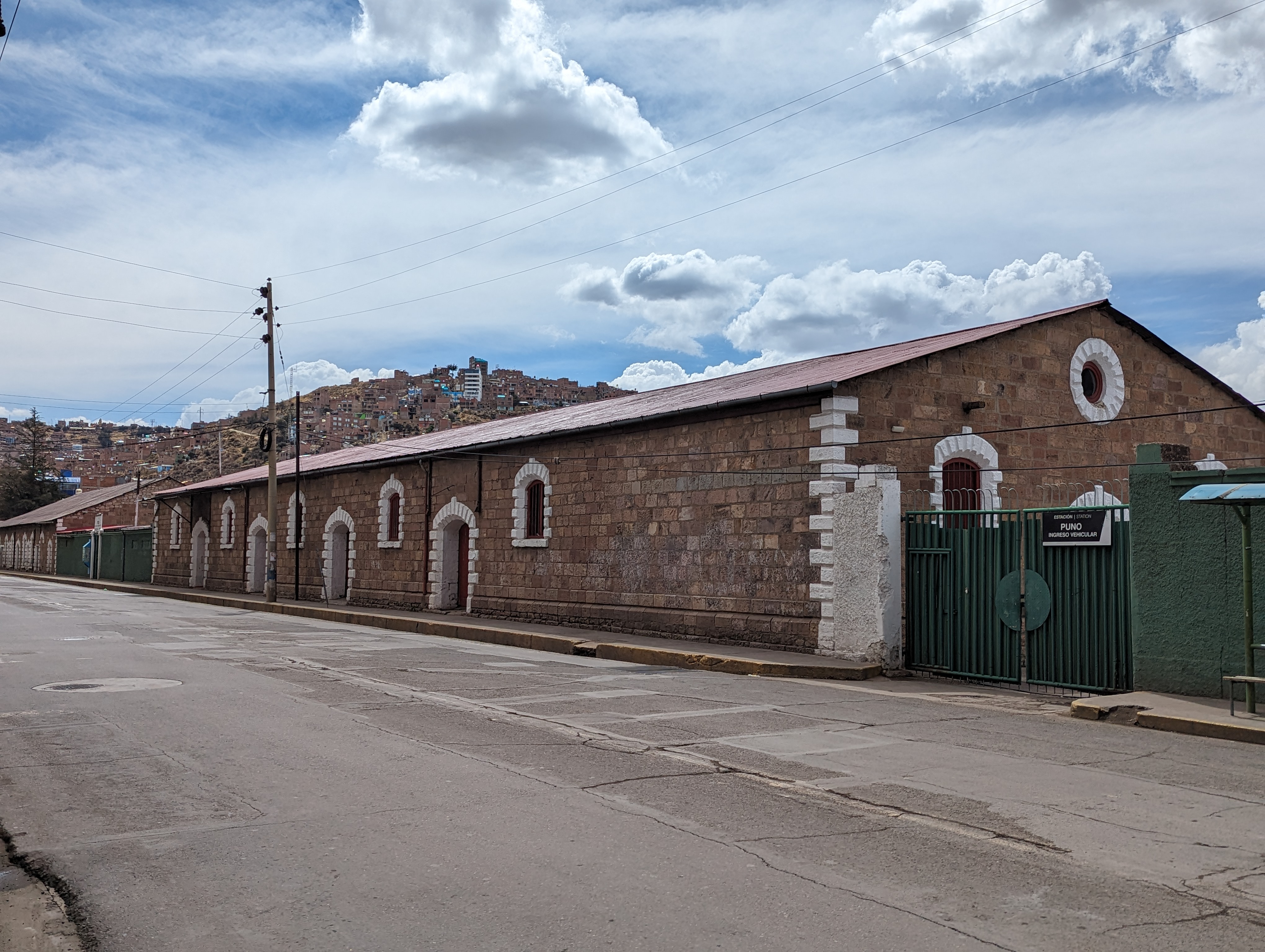
The railroad station.
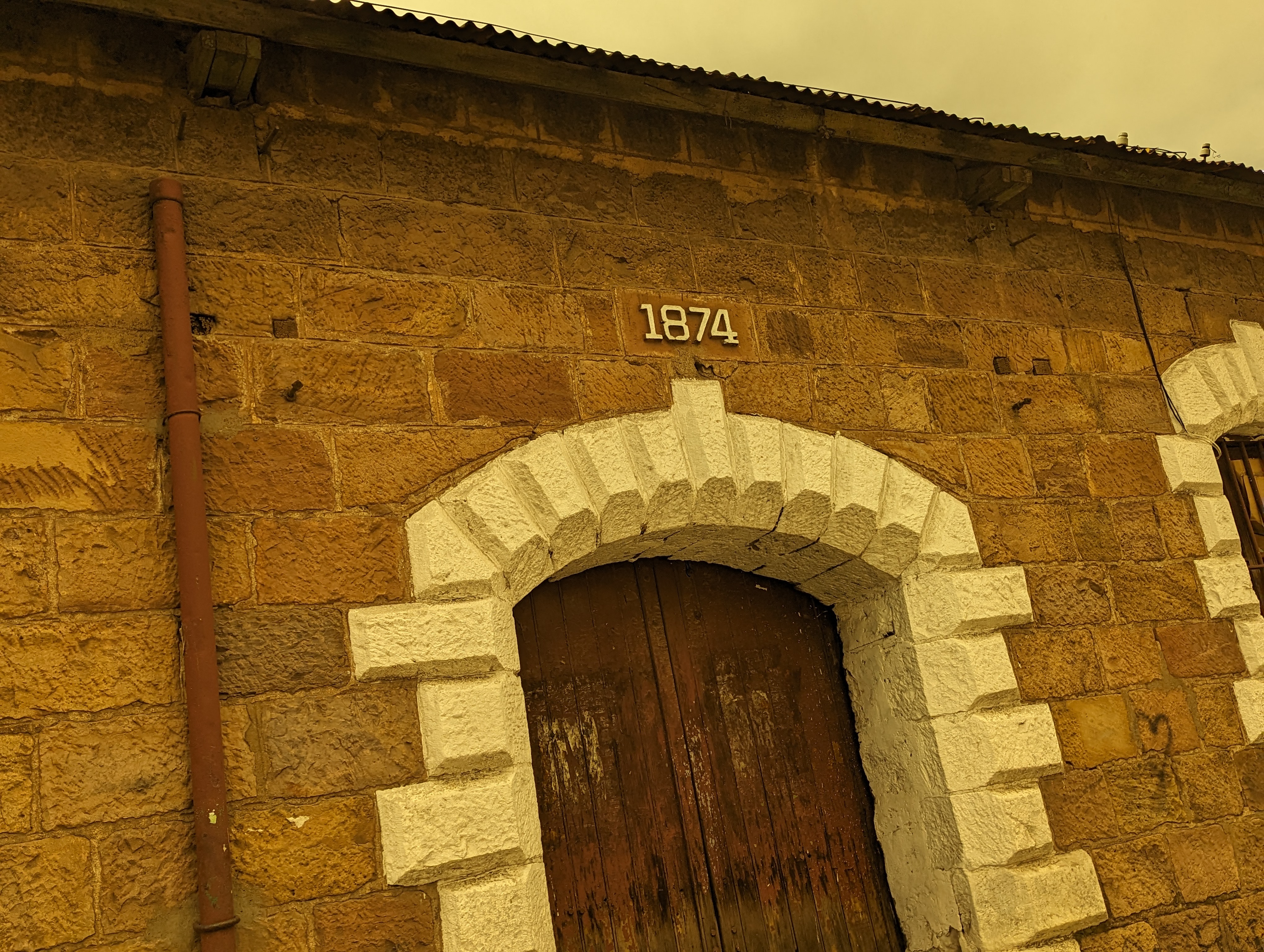
There's your construction date.
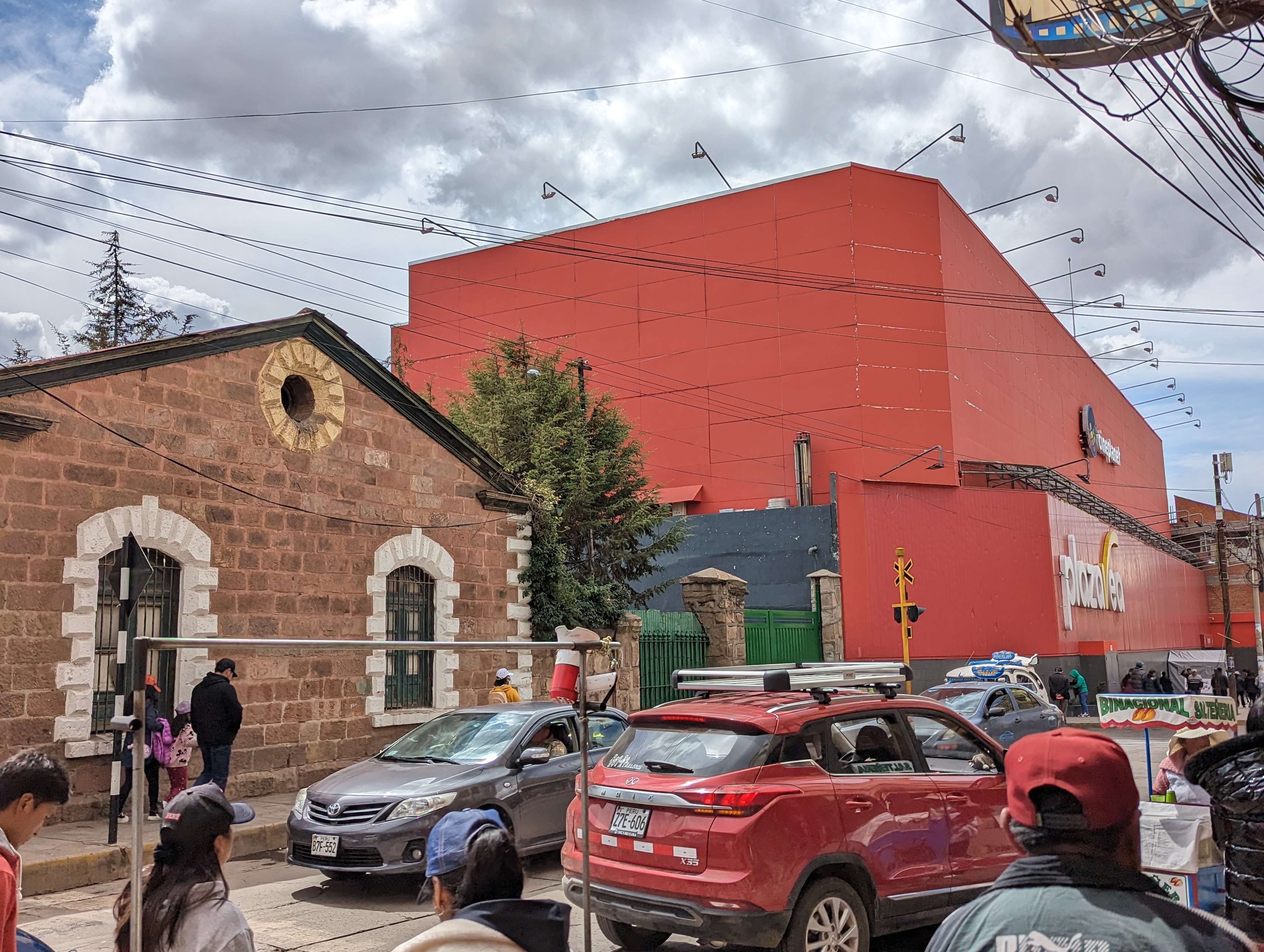
Next door is Plaza Vea, a hypermart owned by Supermercados Peruanos, which is controlled by Intercorp, which is controlled by Peru's reputedly richest man.
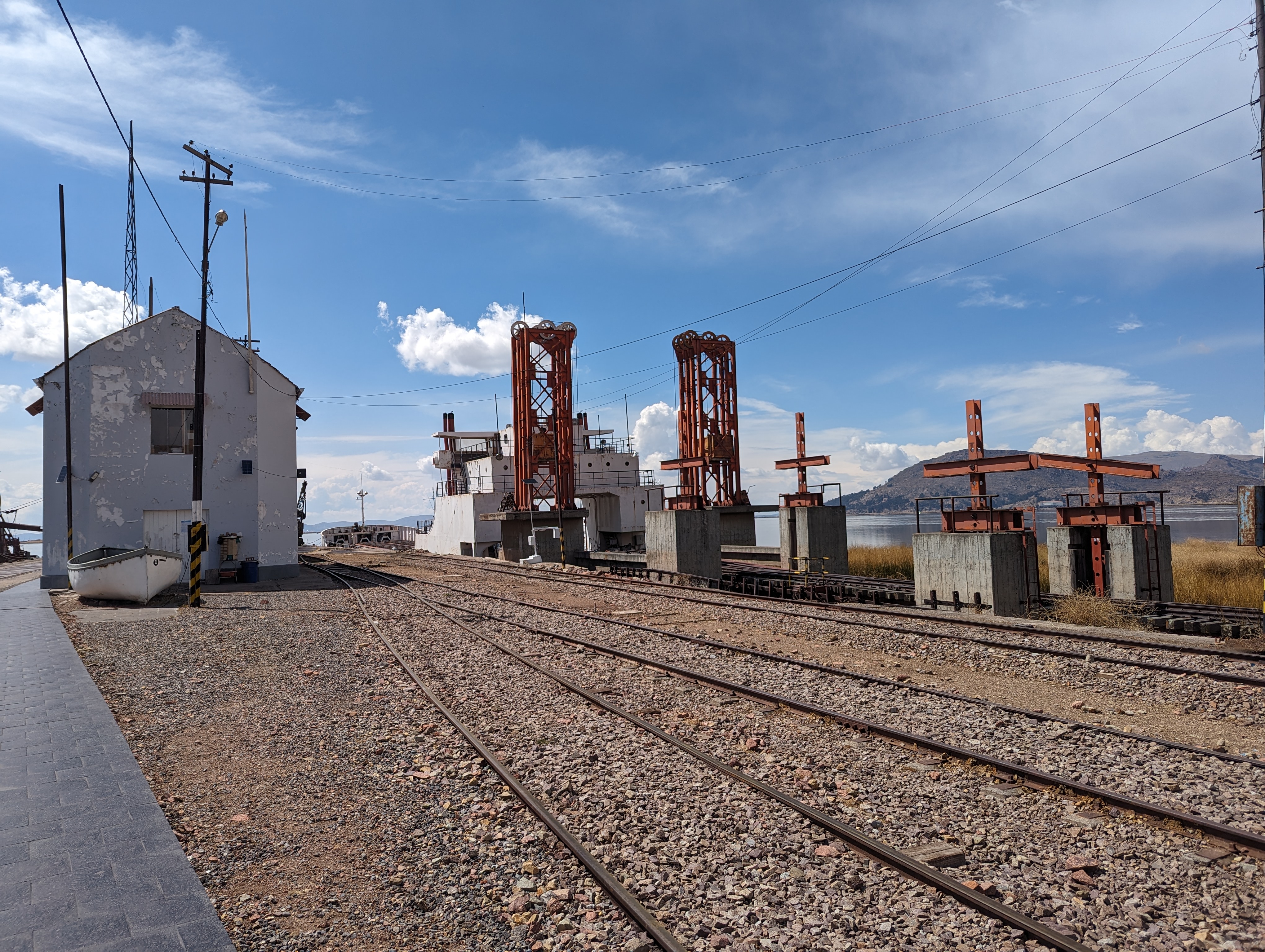
The end of the line.
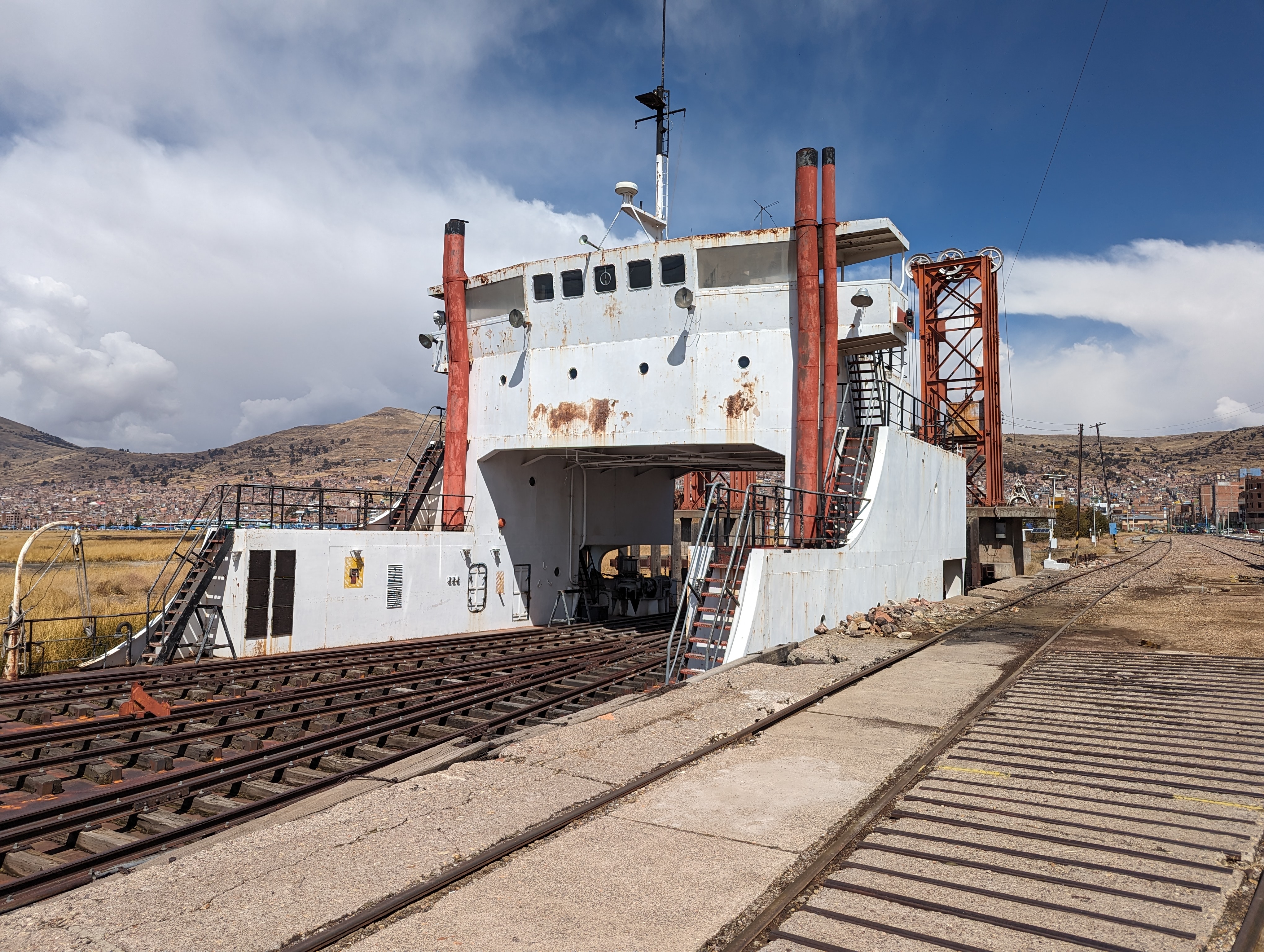
The rail ferry crosses (or at least crossed, past tense) to Quaqui, Bolivia.
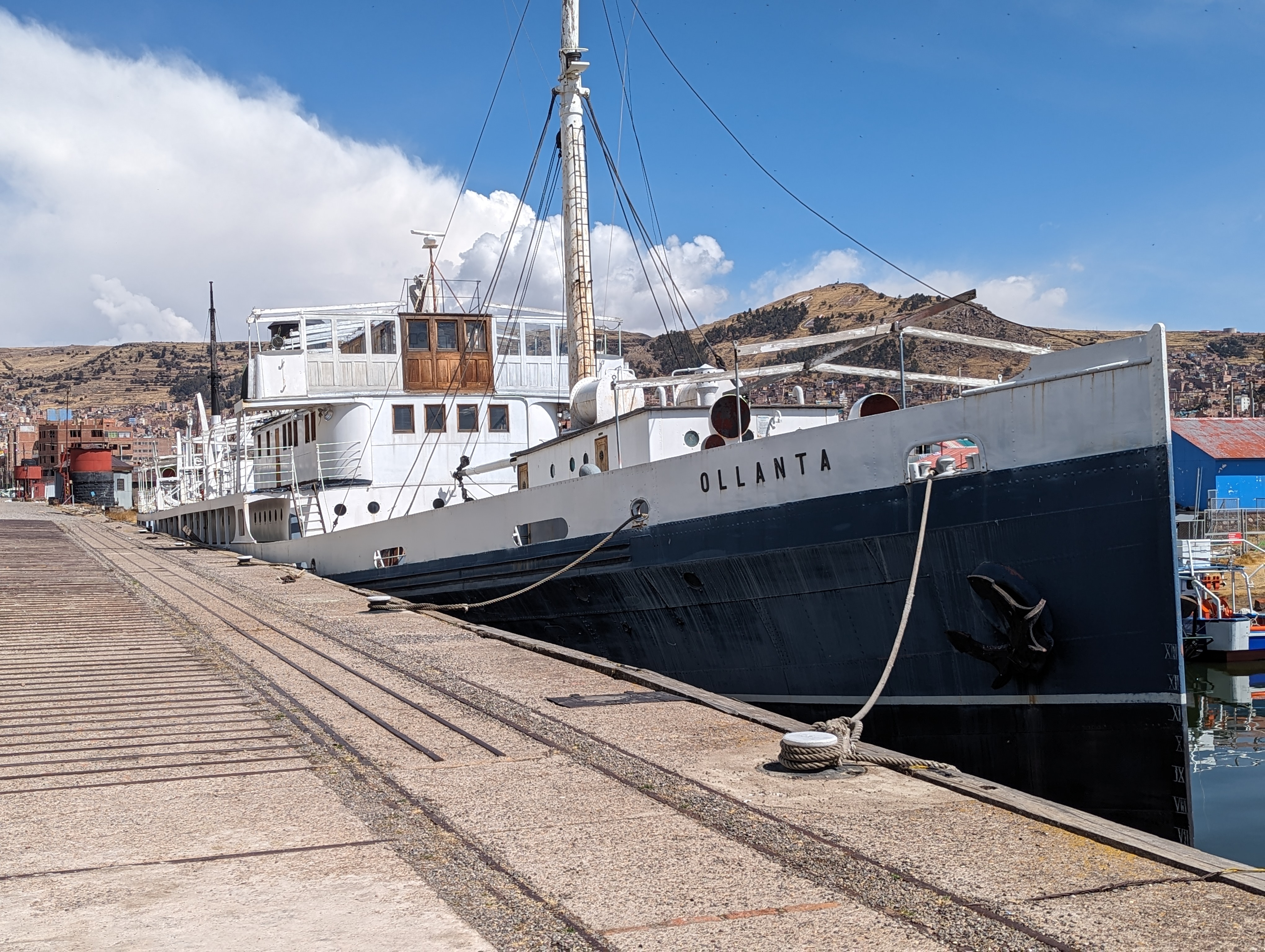
On the same dock, the Ollanta was built in 1931, again in England and again shipped over in pieces, like Ikea furniture. No mules this time.
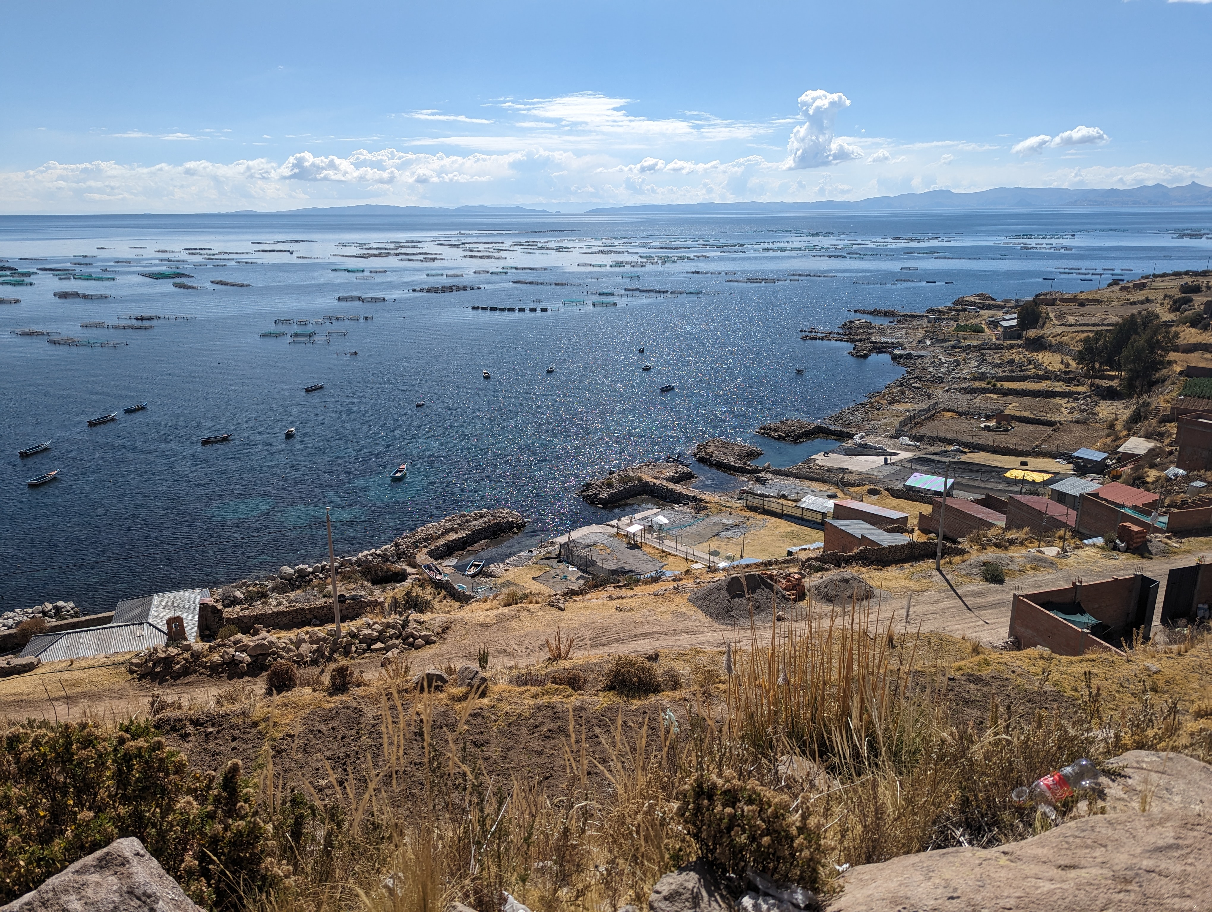
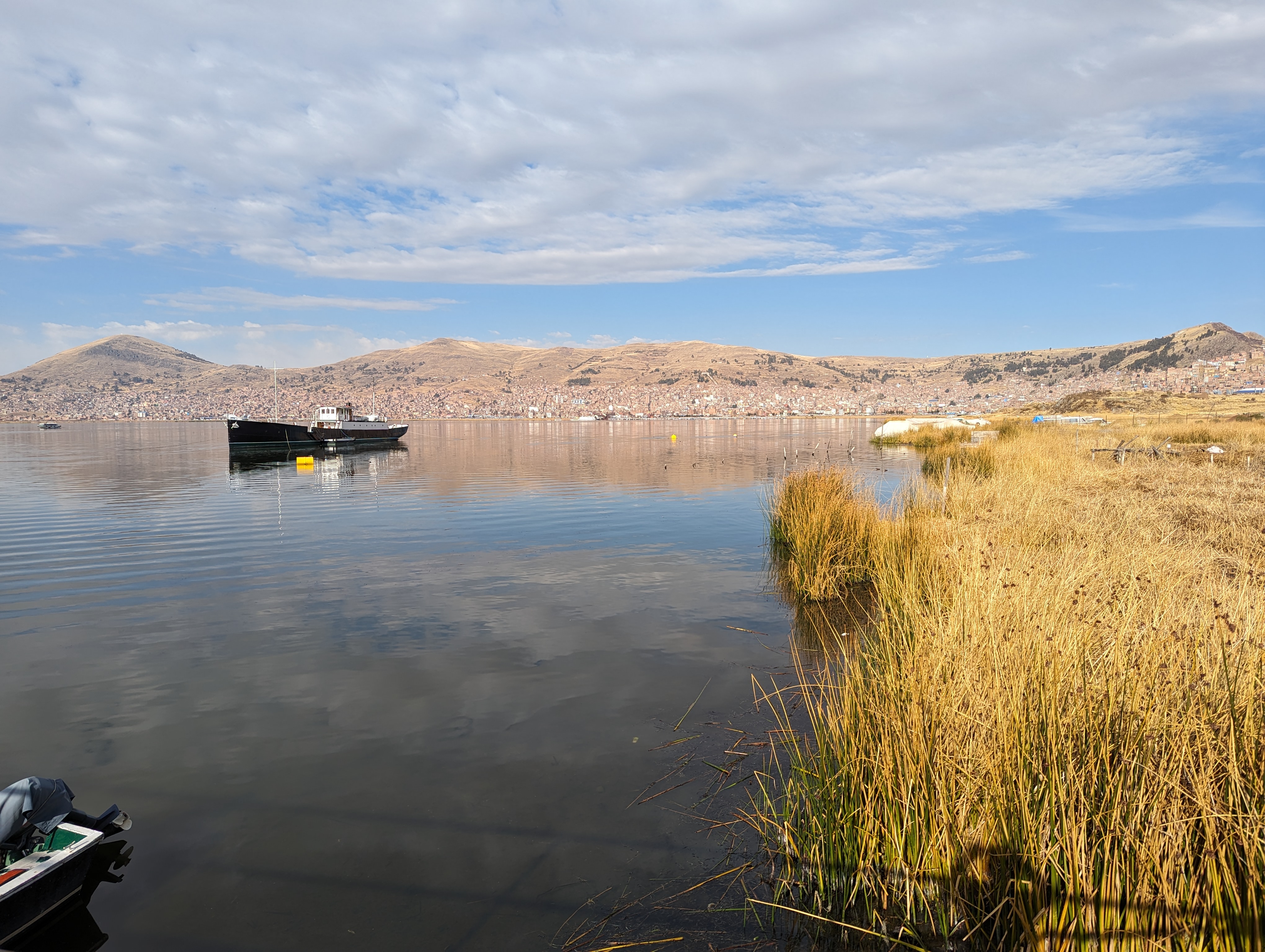
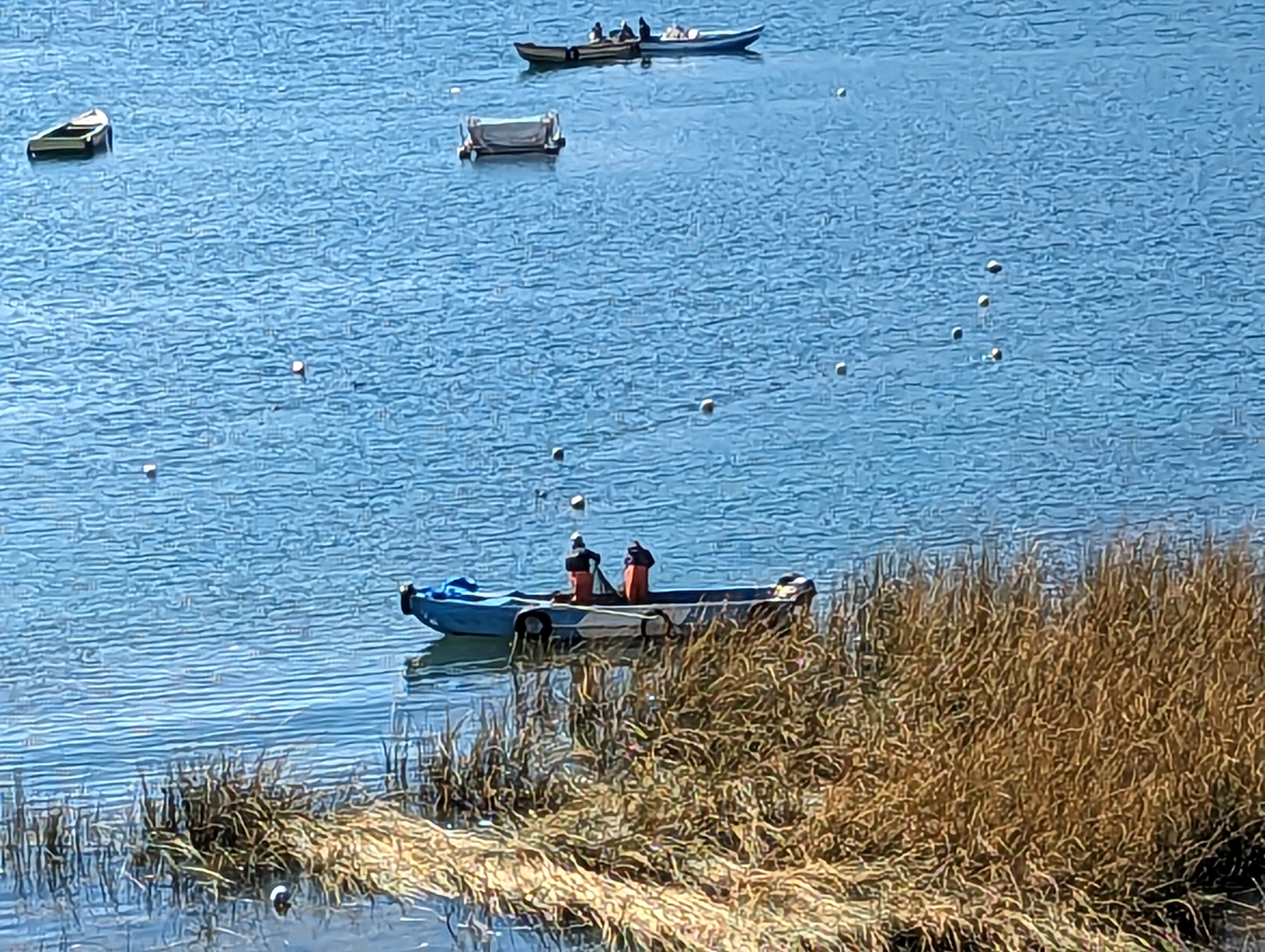
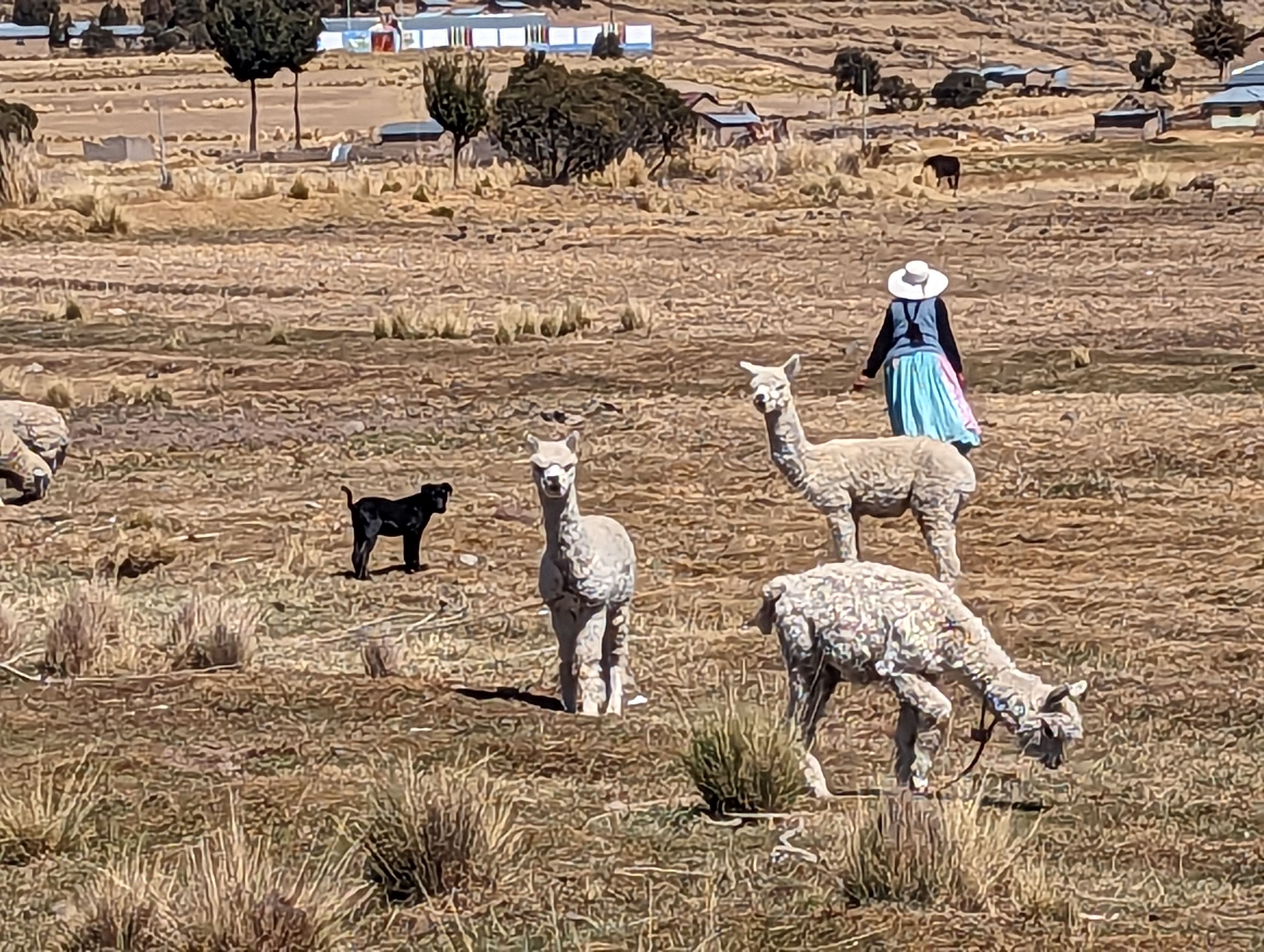
We're toward the southern end of the lake. Fishing, you bet.
Small producers.
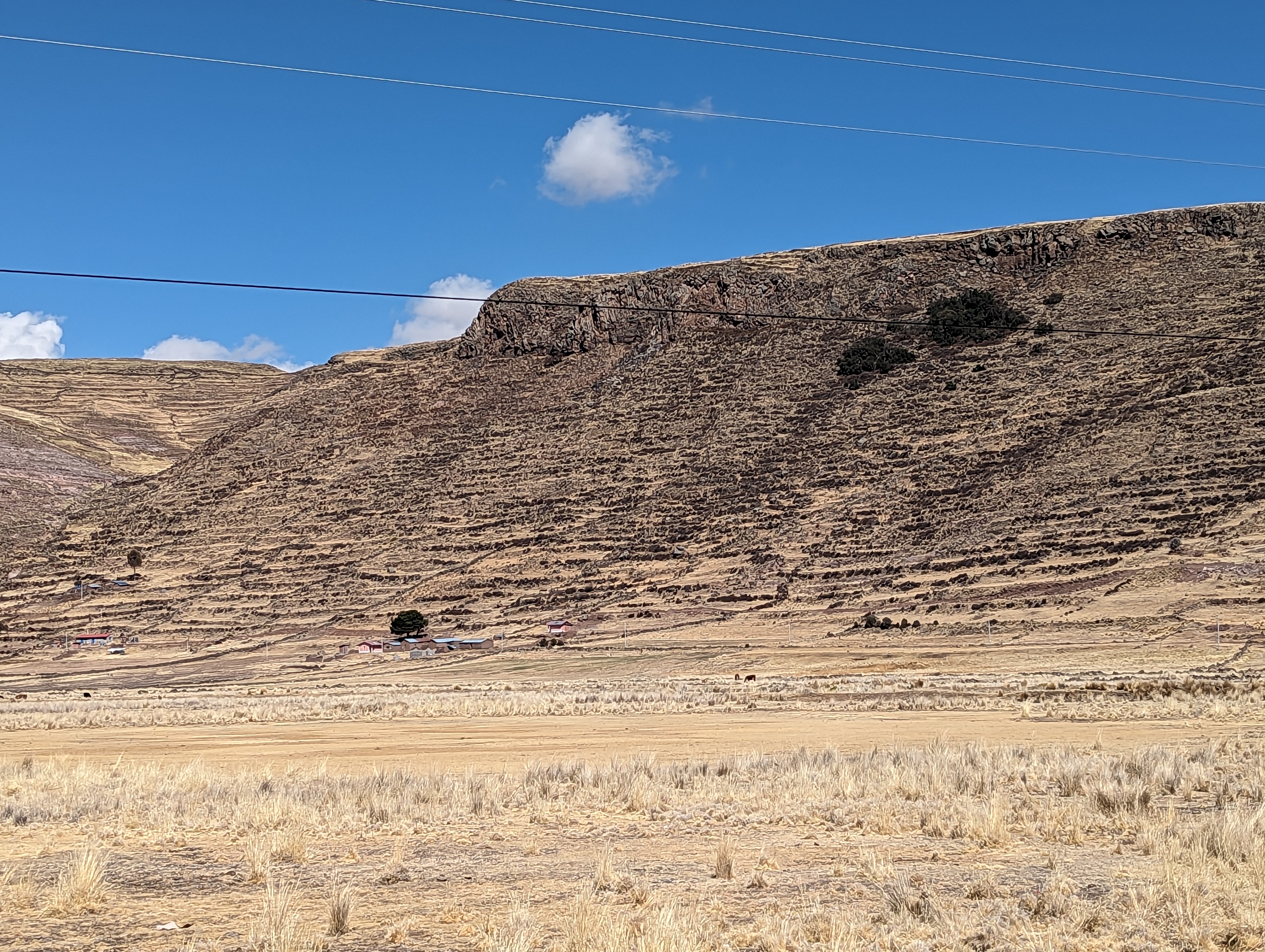
The surrounding hills are painstakingly terraced.
And grazed.
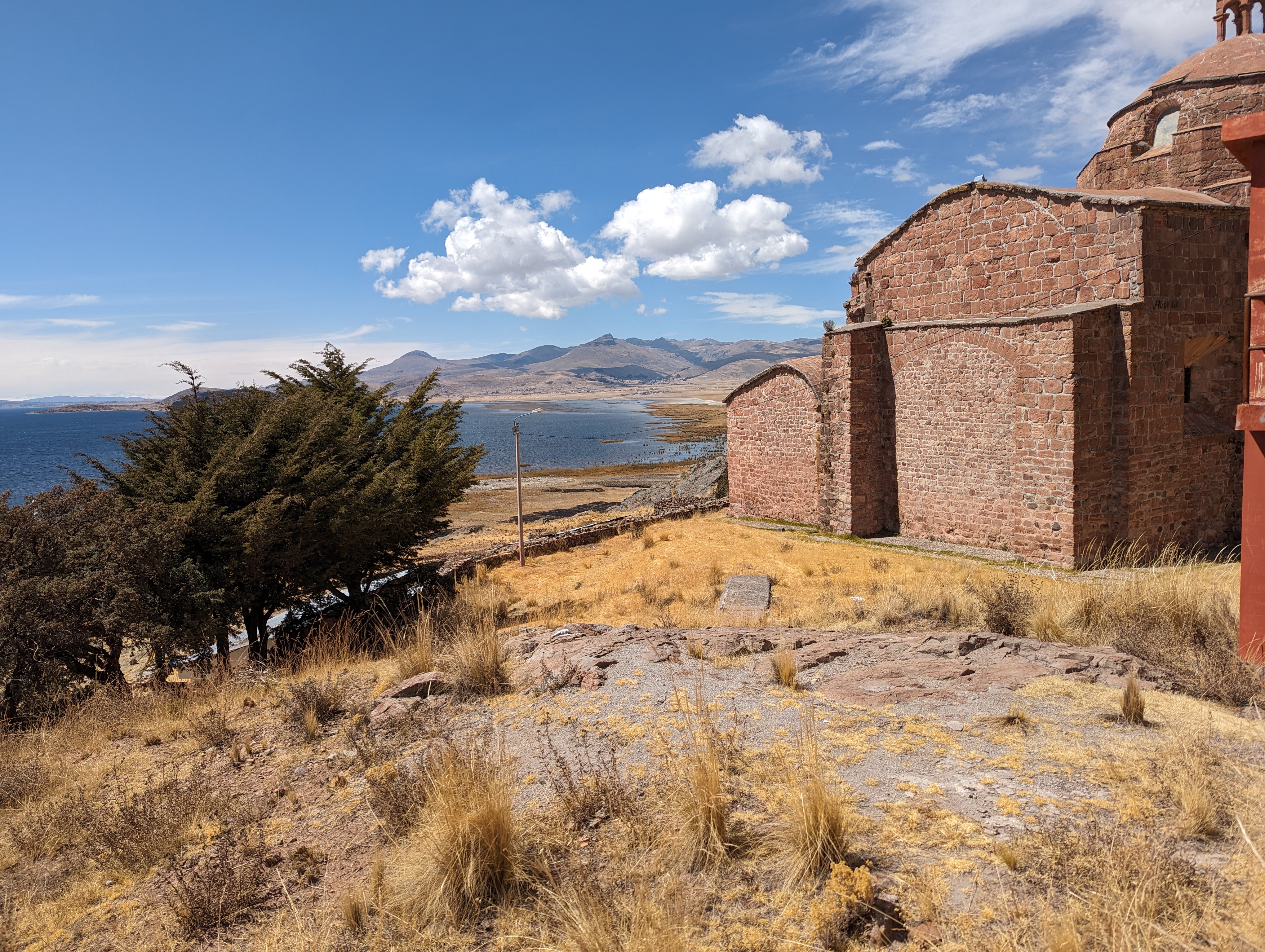
We've climbed up to Pomata, a town of about 1500 people.
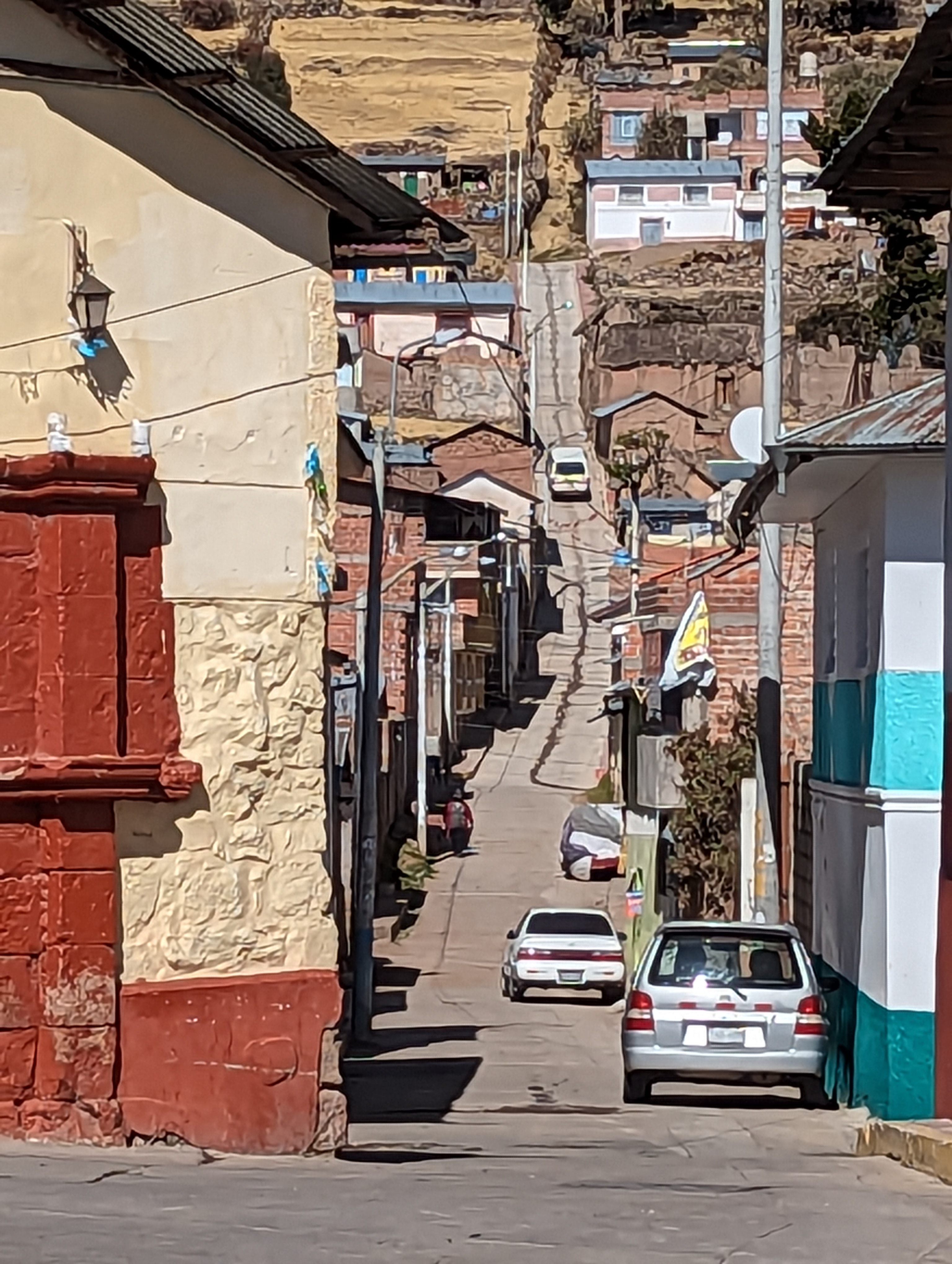
Streets run up steep hills.
The hills continue as terraces.
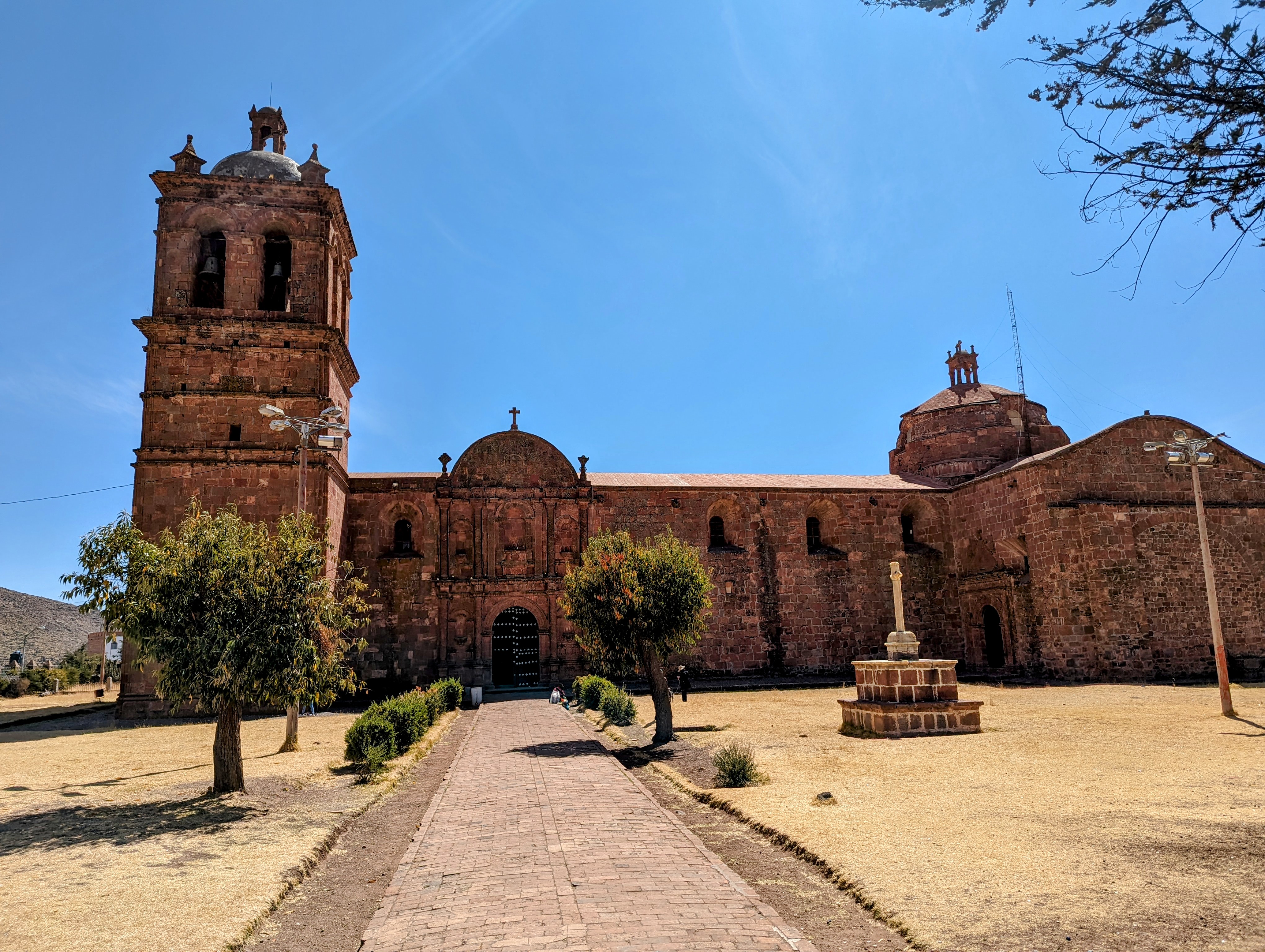
The town's visitor magnet is the Santiago Ap stol Church, from the early 1700s.
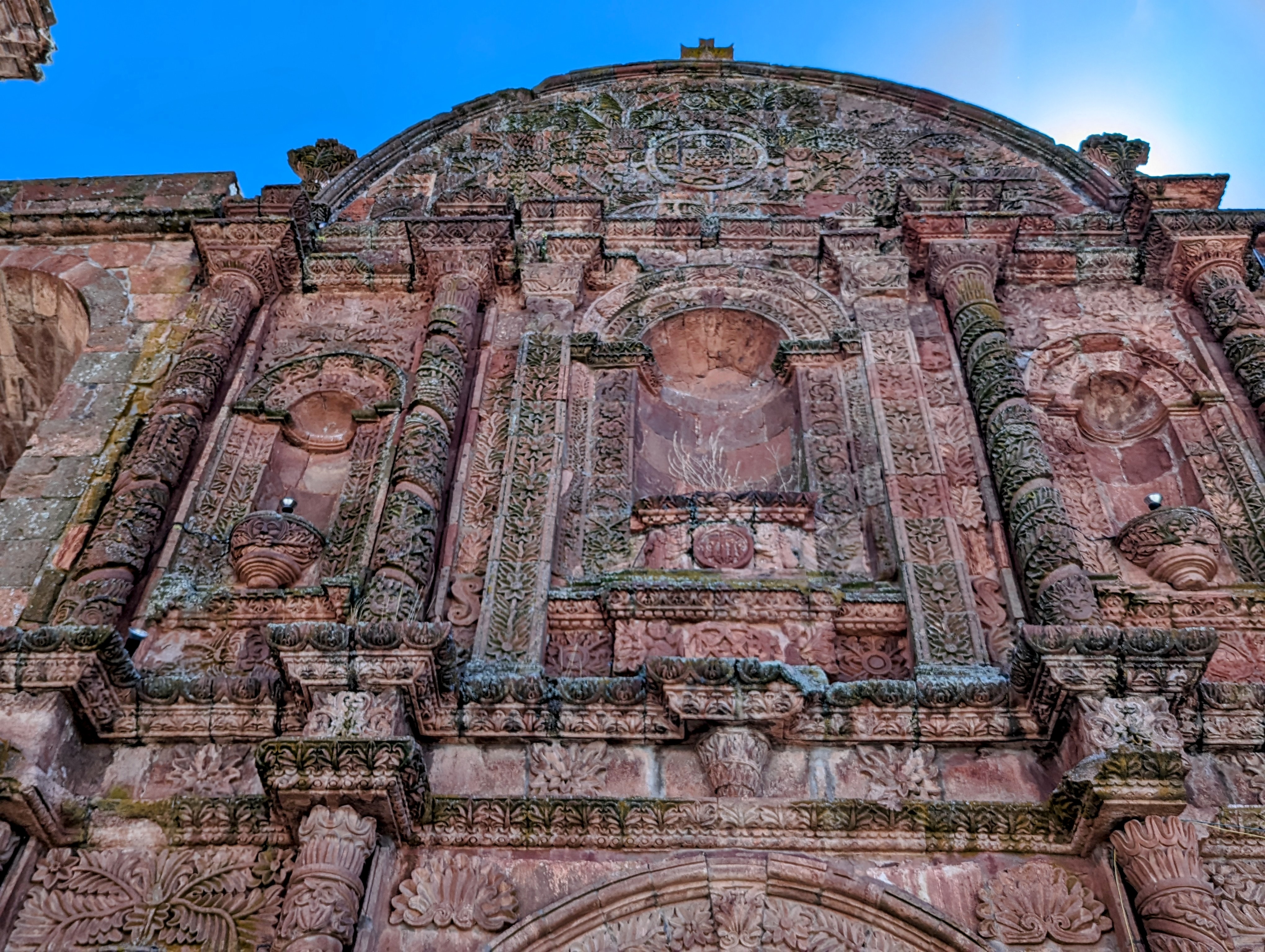
Over the main entrance.
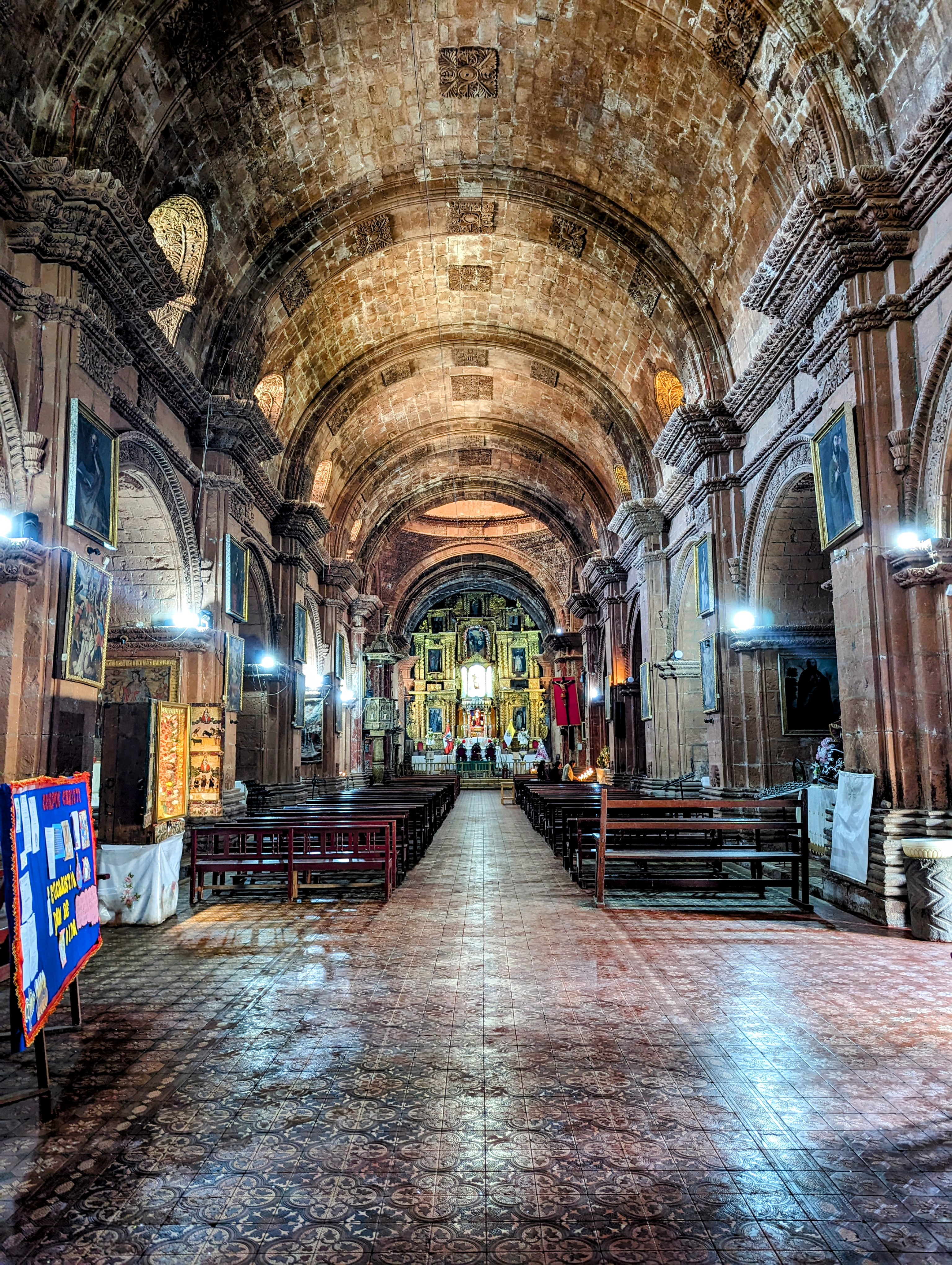
Nave.
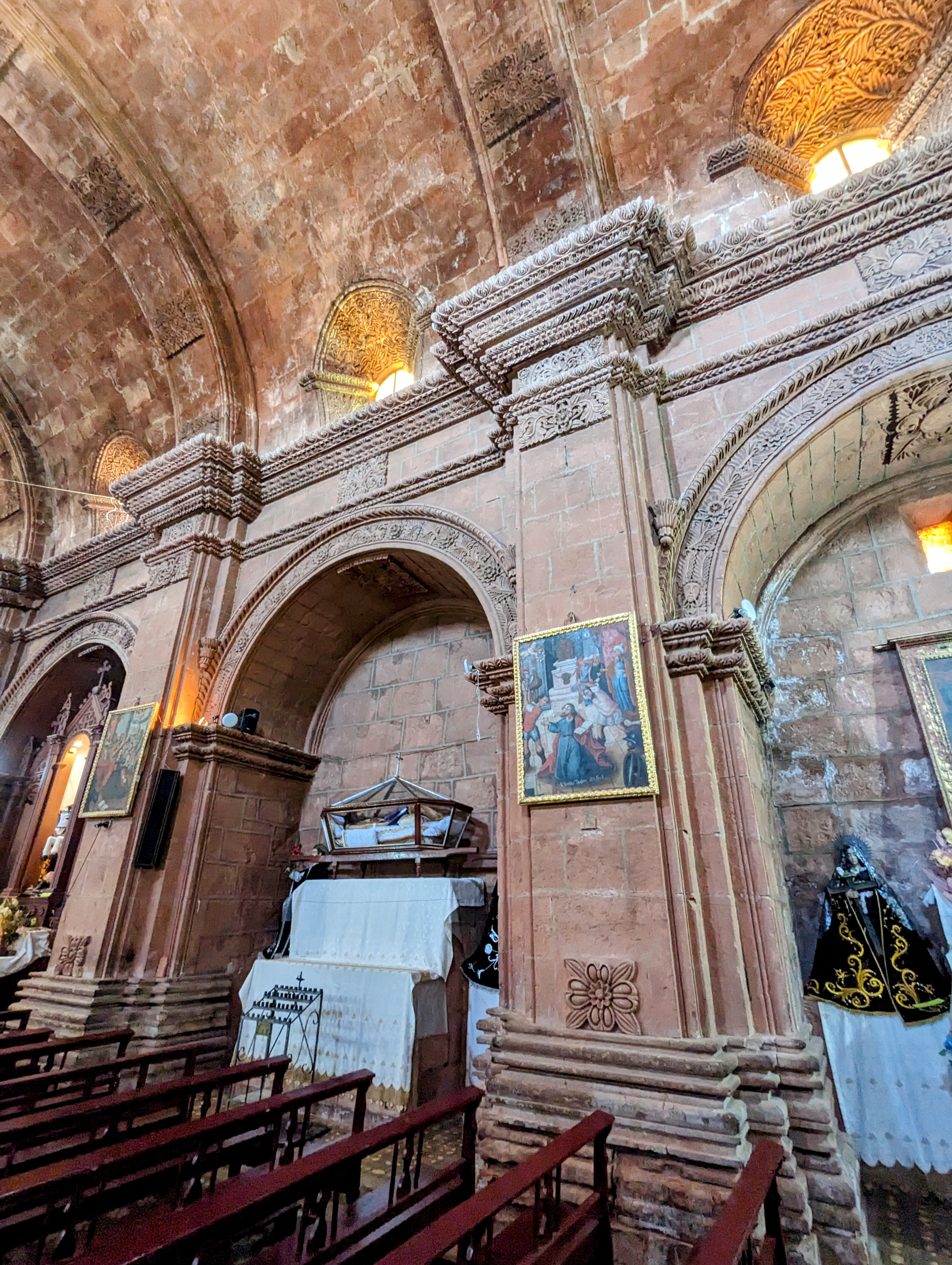
Pilasters.
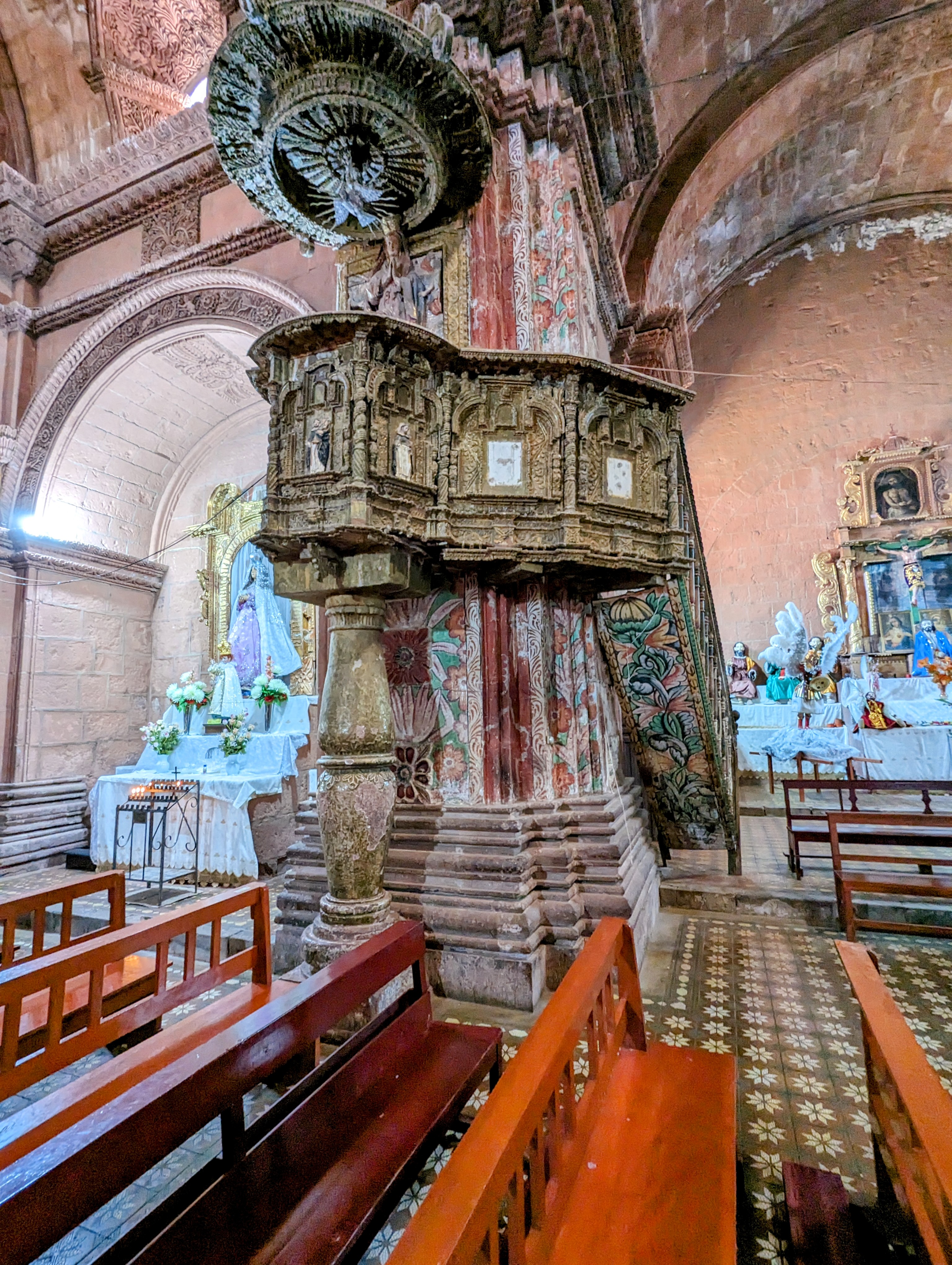
Pulpit.
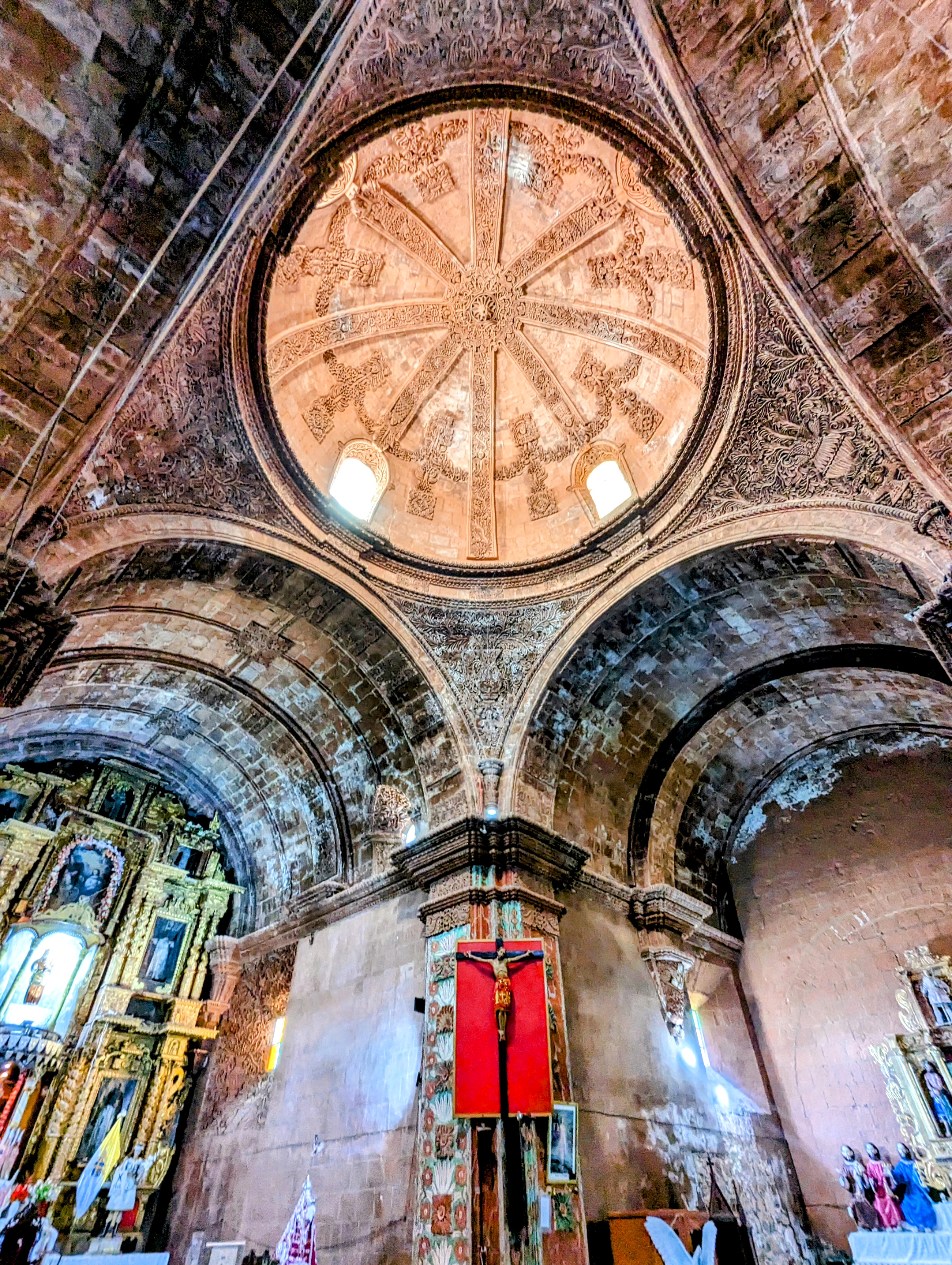
Dome.
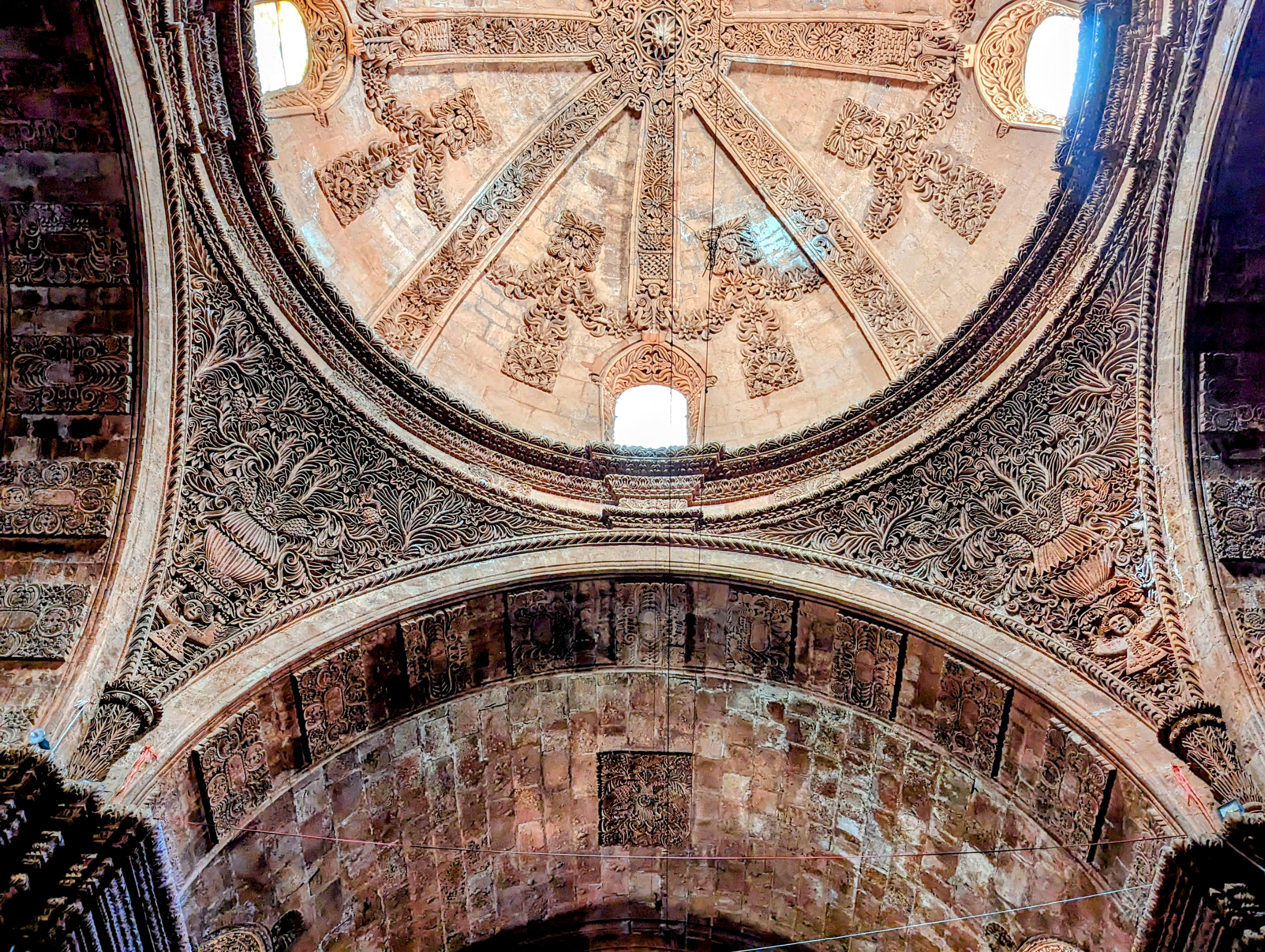
Close up of pendentives or spandrels.
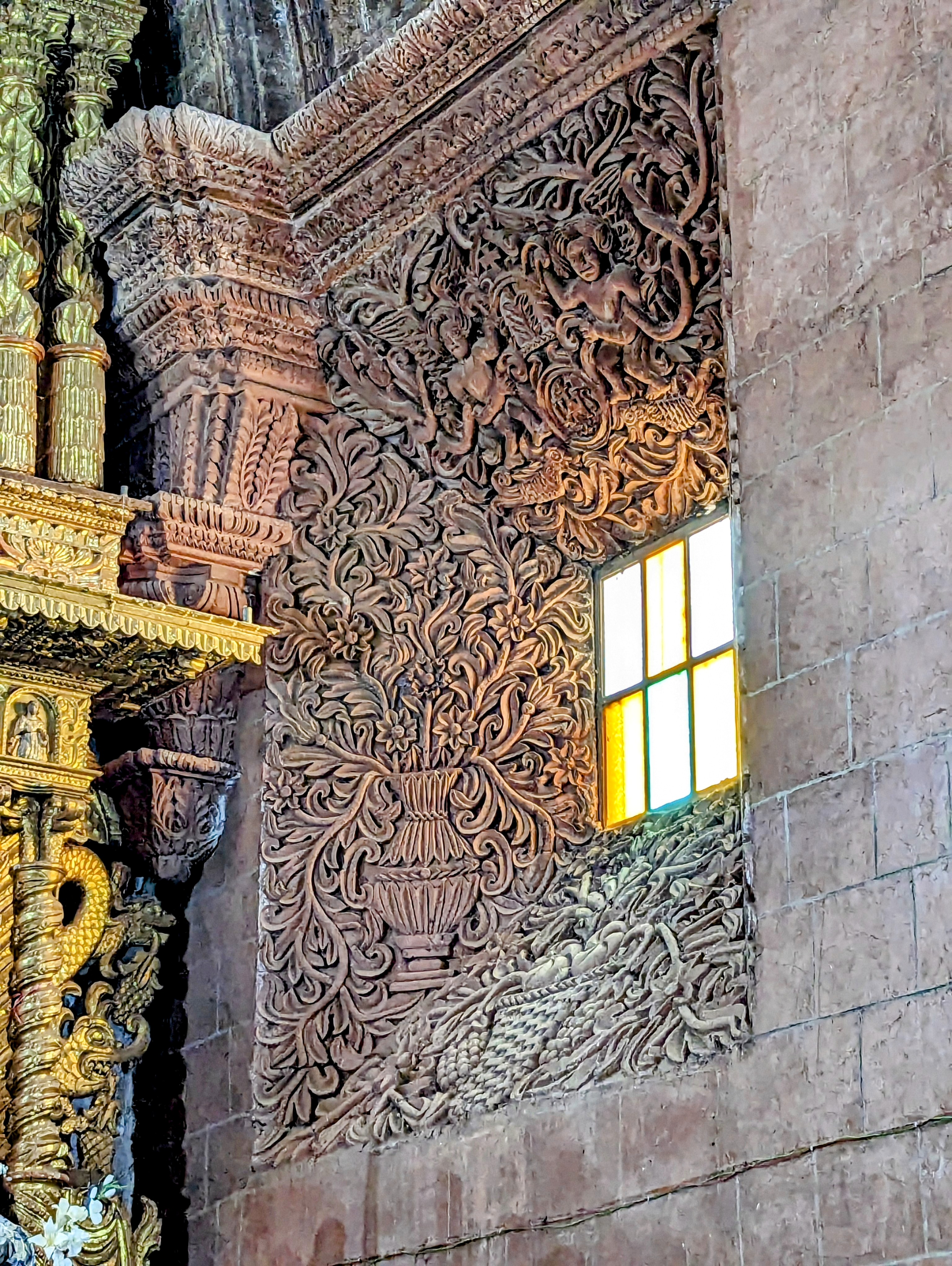
Splayed window at sides of altar.