4 And the Canal
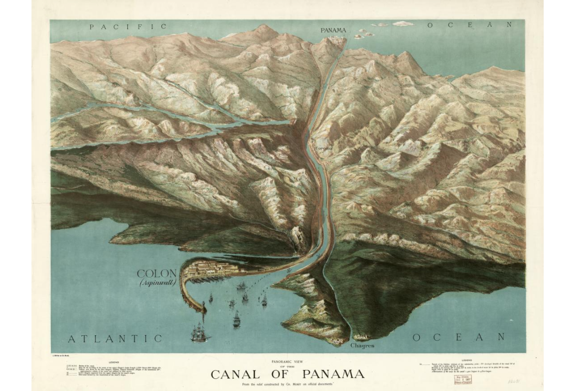
If only it were this simple! Here's a picture painted by Charles Muret in 1881 of a sea-level canal through the Isthmus of Panama. It conveniently overlooks the 12-foot semi-diurnal tides at Panama that would rush back and forth between Panama City and Col n, with its one-foot tides. John Stevens, the engineer who finally persuaded Theodore Roosevelt to build the canal with locks, pointed out that to withstand such tidal bores a sea-level canal would have to be at least a half-mile wide and would be both too expensive and too many years in the making. (https://www.loc.gov/resource/g4874p.pcc00013/)
**
**
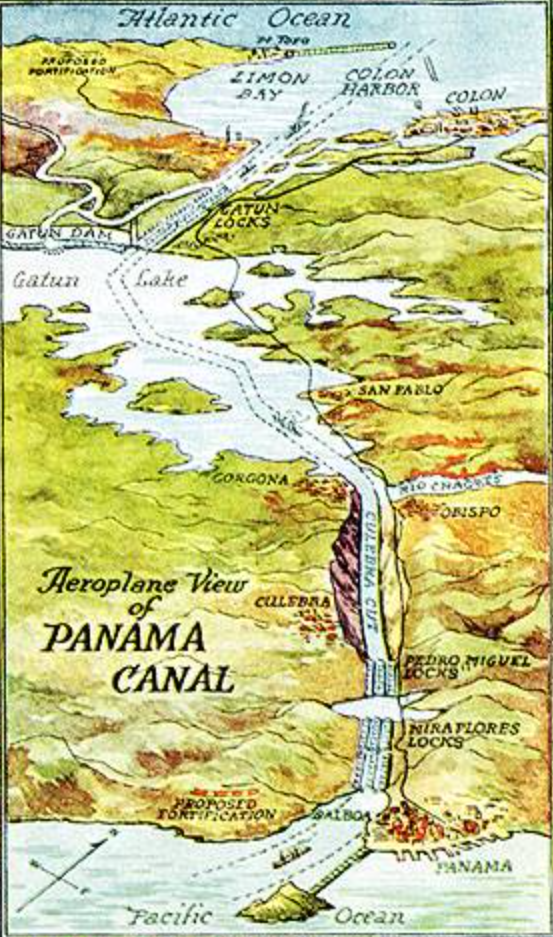
Here's a simple but clear picture of the Panama Canal as Stevens planned it and as it was built. Ships entering from the Pacific side first pass the two locks at Miraflores and then the single lock at Pedro Miguel. That puts them about 85 feet above sea level. They then pass through the Culebra Cut and Gatun Lake. On the far side of the lake they descend through the three Gatun Locks back down to sea level and cruise to Limon Bay and the Atlantic. (Toponymy-addict alert: the names Miraflores, Pedro Miguel, and Gatun are all older than the Canal; all three were names of stations on the Panama Railroad, and at least the name Gatun existed before the railroad.) https://www.foundsf.org/index.php?title=SAILINGTOBYZANTIUM:1915PanamaPacificInternational_Exposition
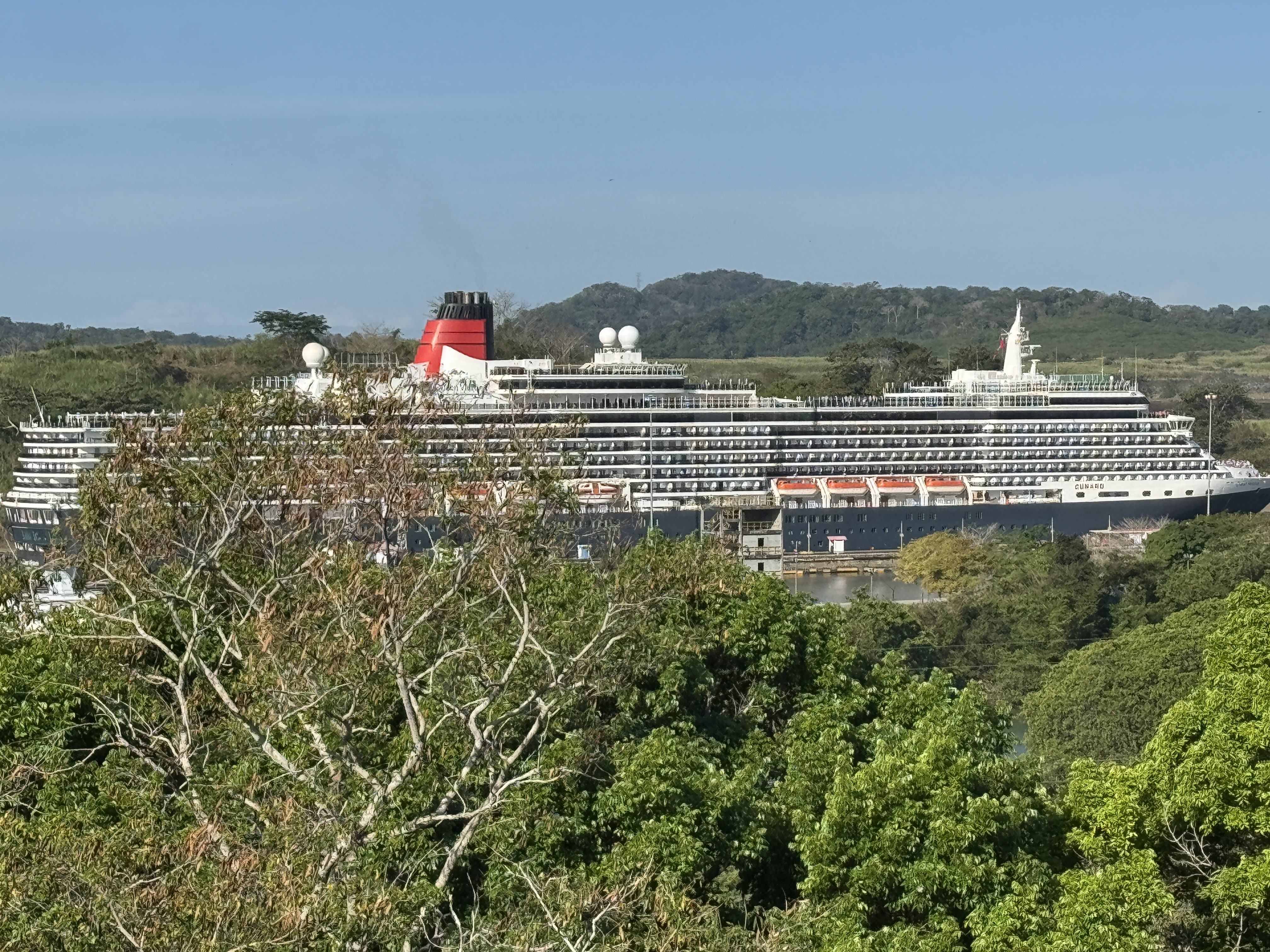
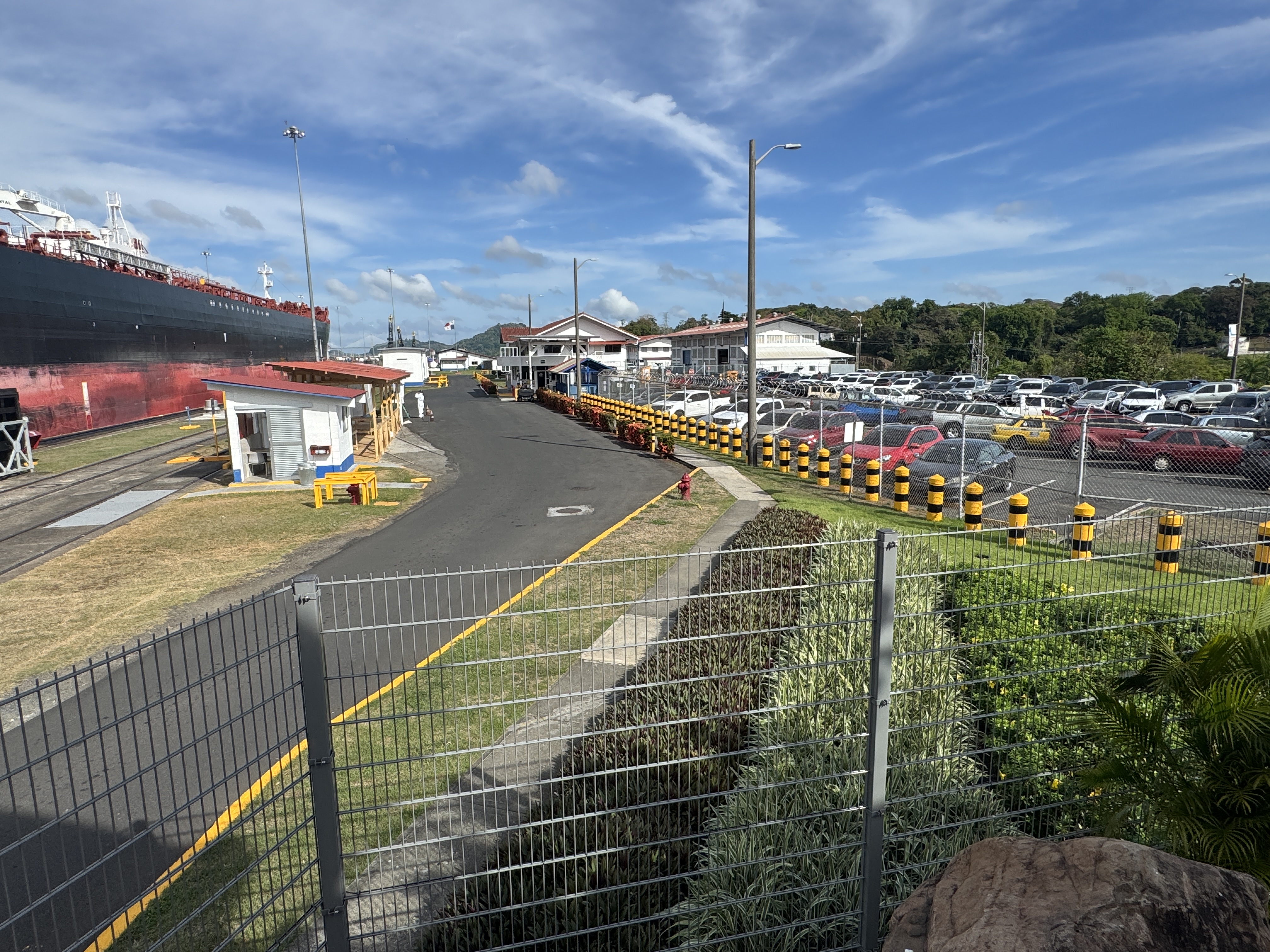
Yikes! We're about four miles from the Pacific Ocean. This can't be real, you say, but it is: a Cunard Queen approaches the Miraflores Locks.
She's moved on, but farther back you can see a container ship approaching the Cocoli Locks, which opened in 2016 as part of a long-planned expansion of the Canal's capacity.
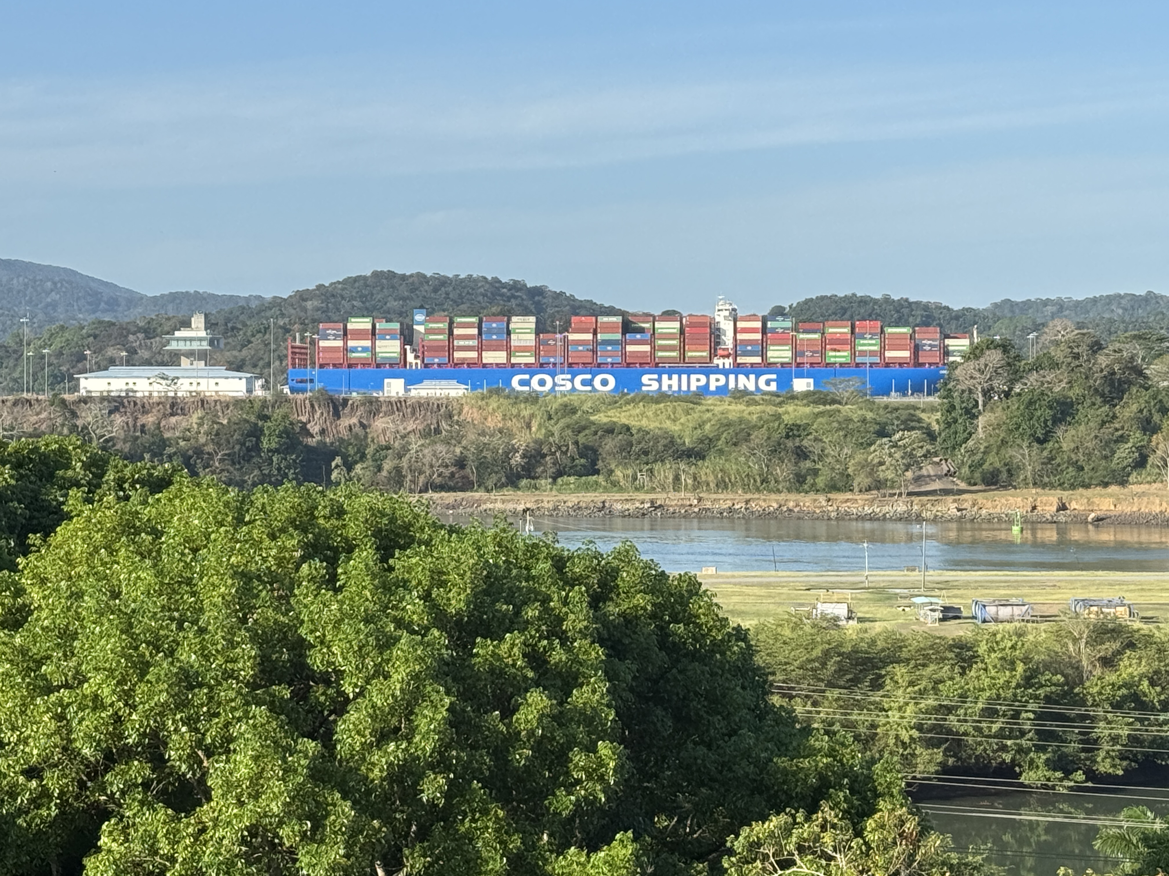
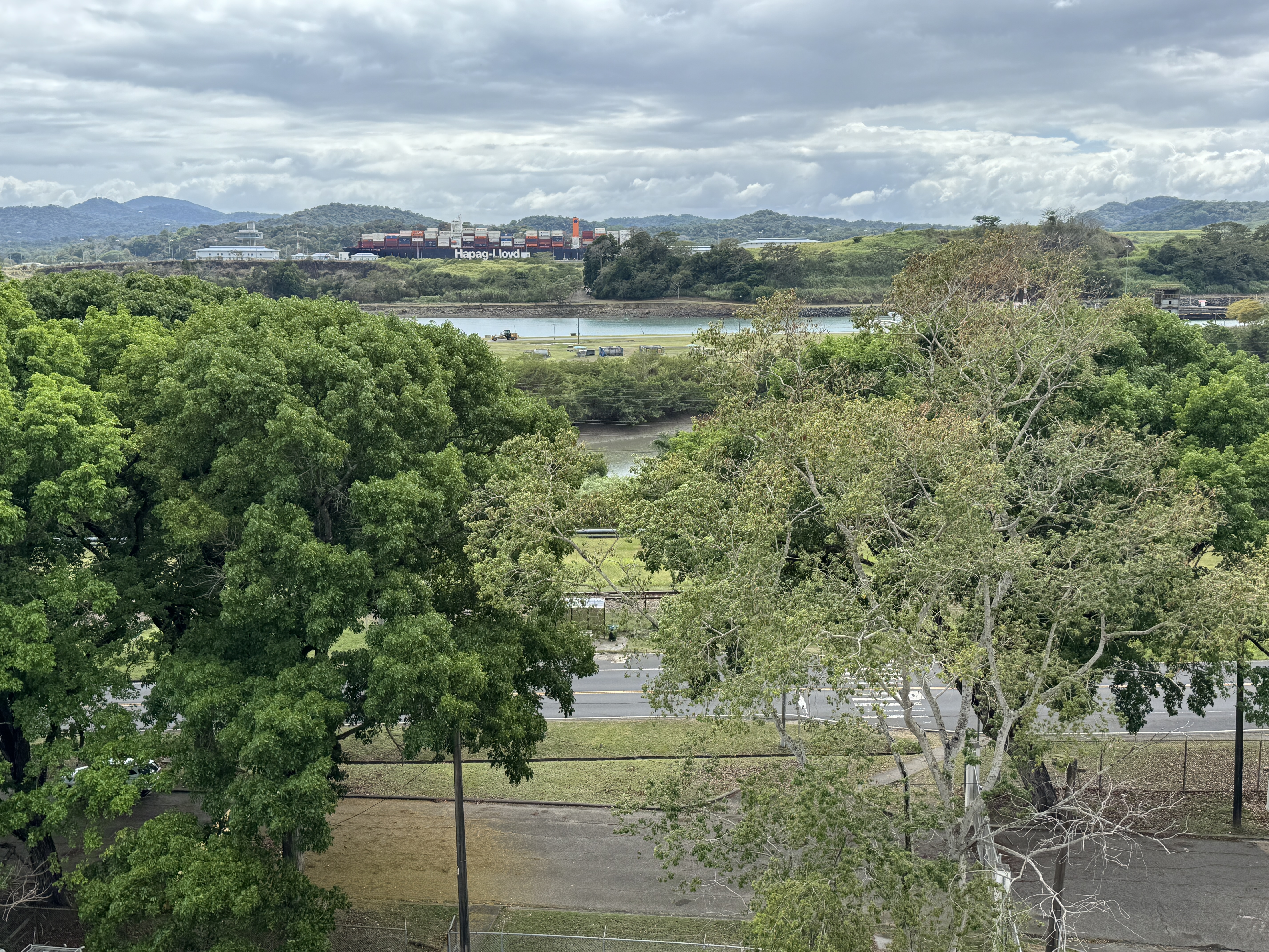
Zoomed. One after another, but they move so slowly that the Canal, even expanded, handles only about three dozen ships daily.
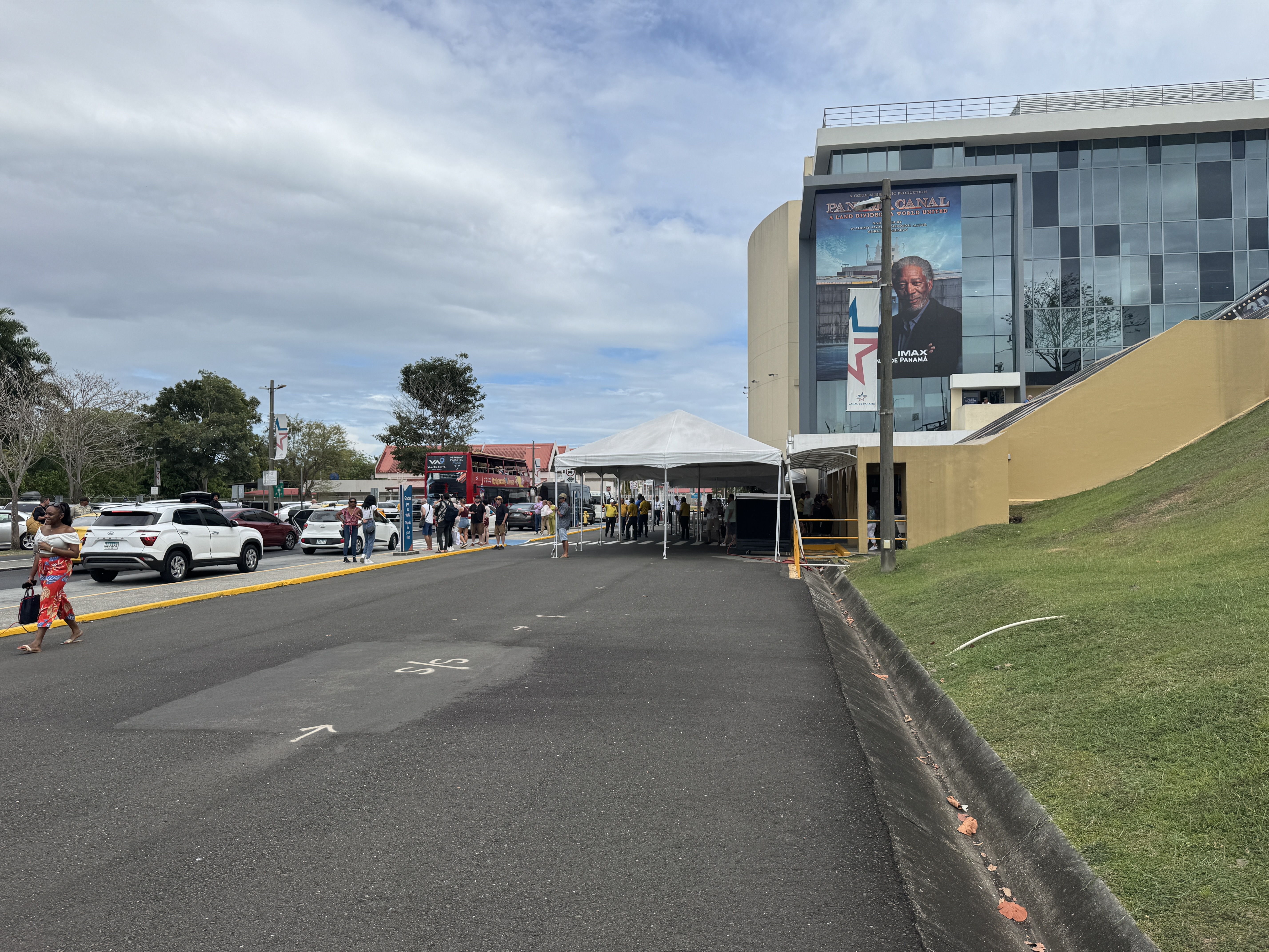
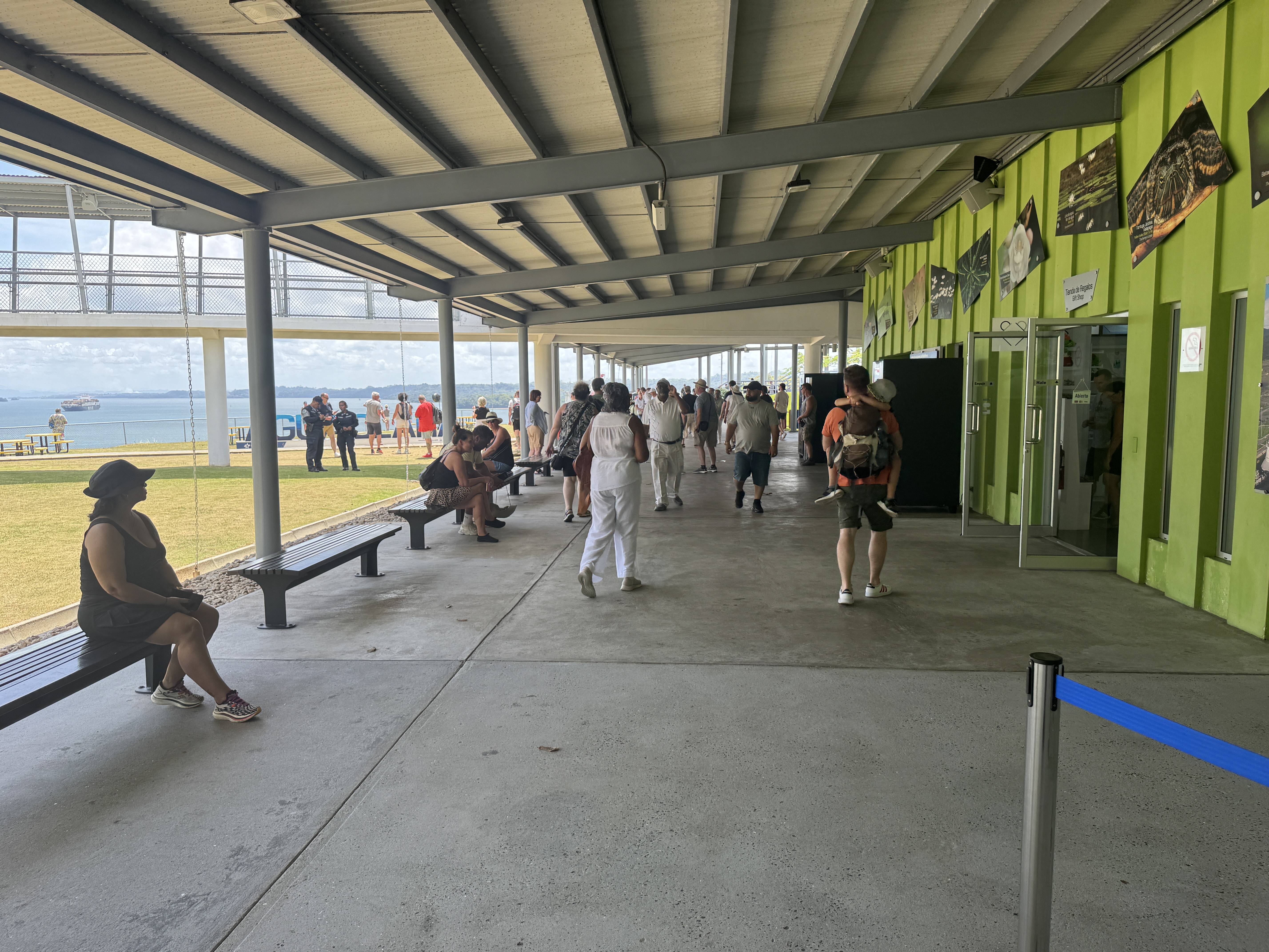
It's very difficult for a solo visitor to see much of the Canal, but it's very easy to plunk down $17 at the Miraflores Visitor Center. Don't worry; you won't be lonely.
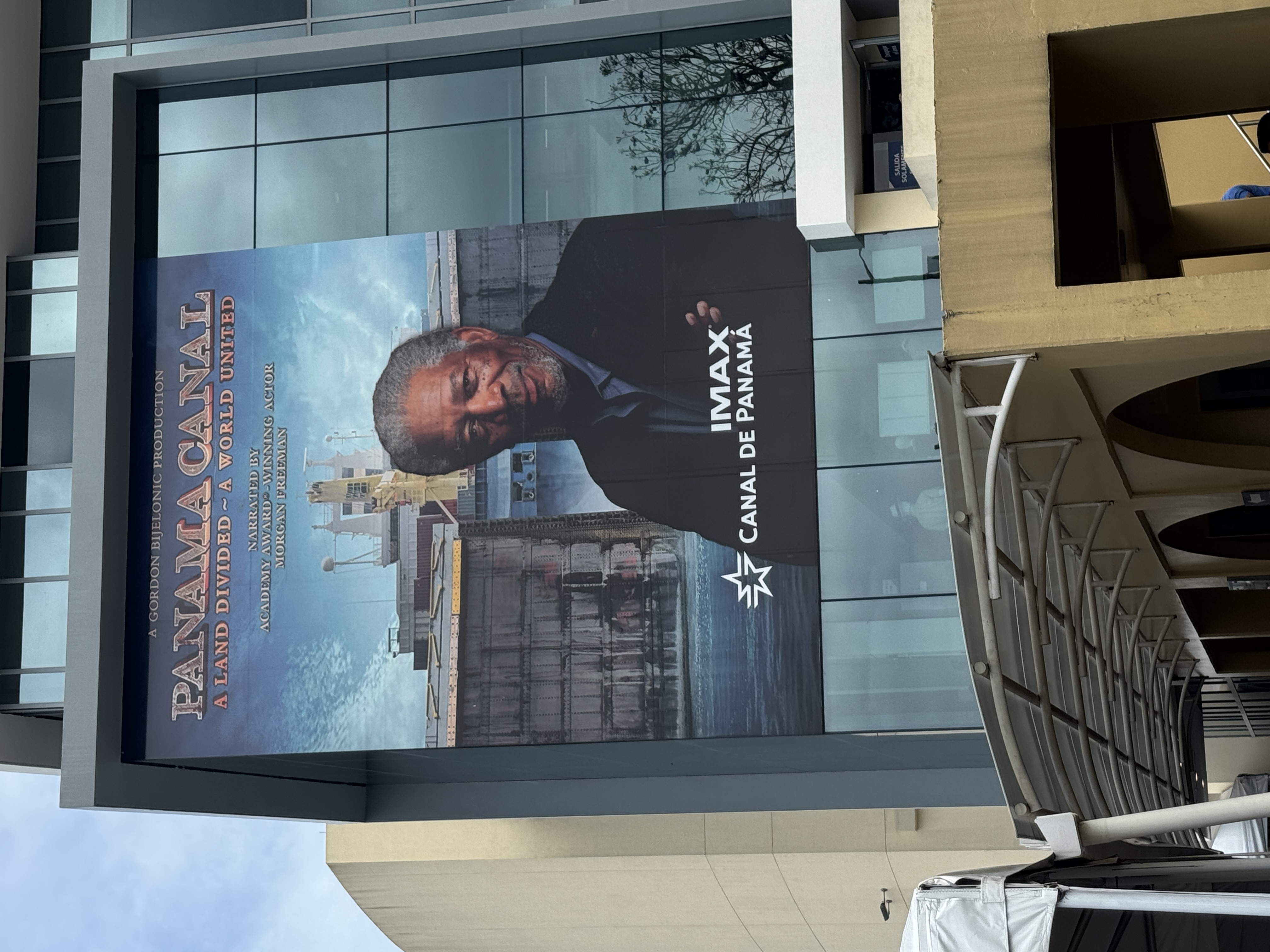
You can watch a movie narrated by the voice divine.
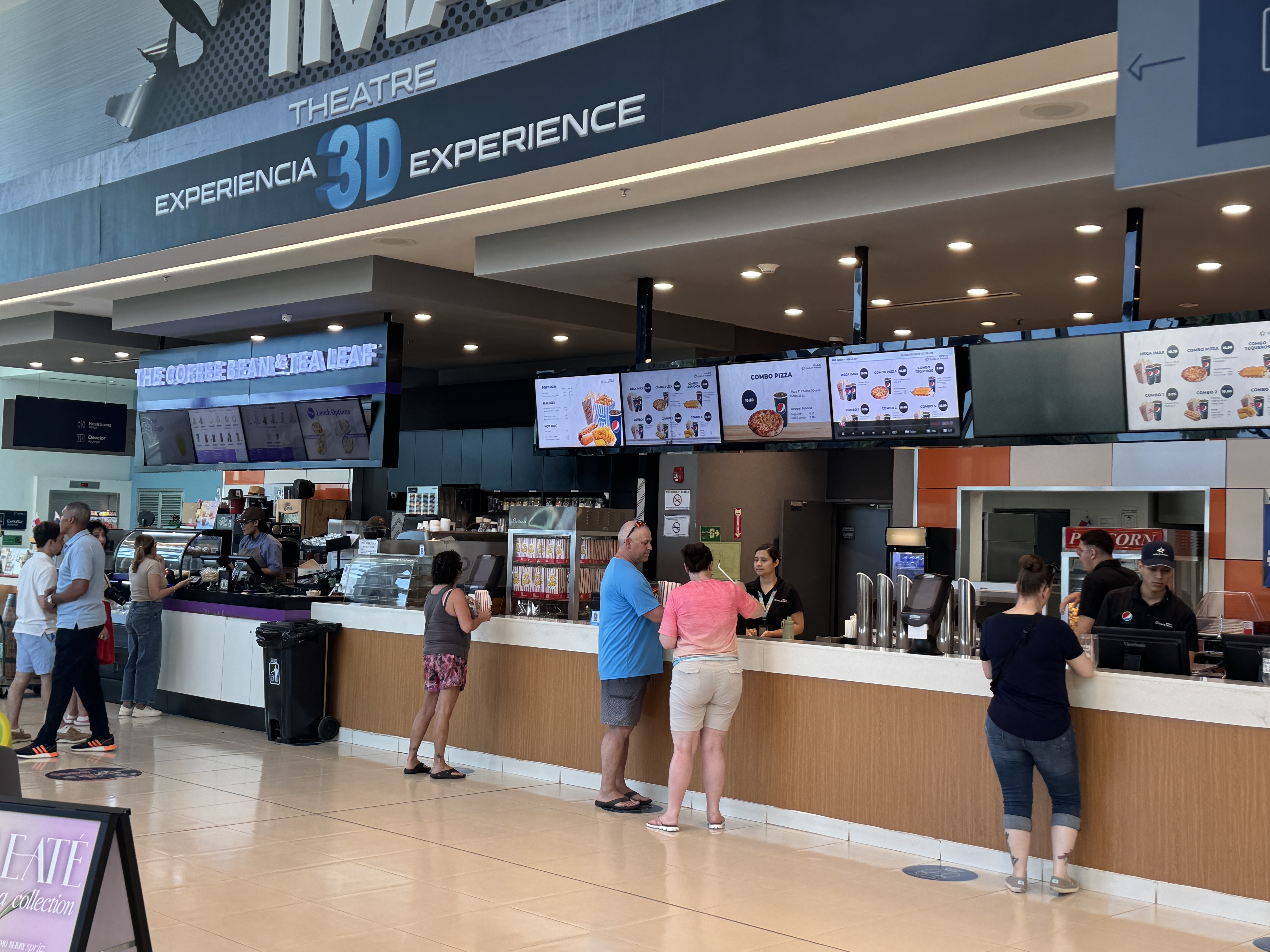
Get popcorn.

What's not to like?
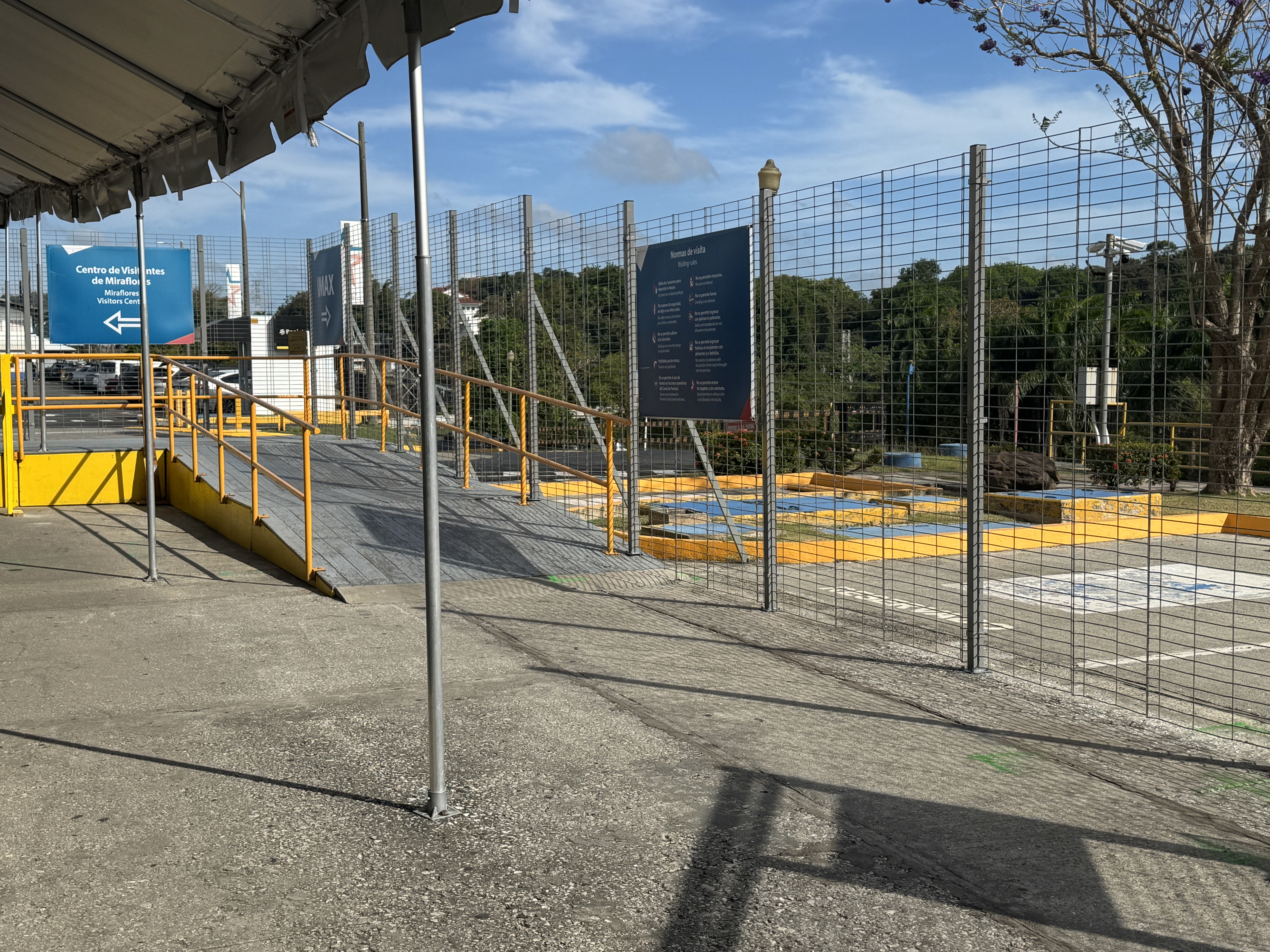
It's true, your movements will be severely restricted.
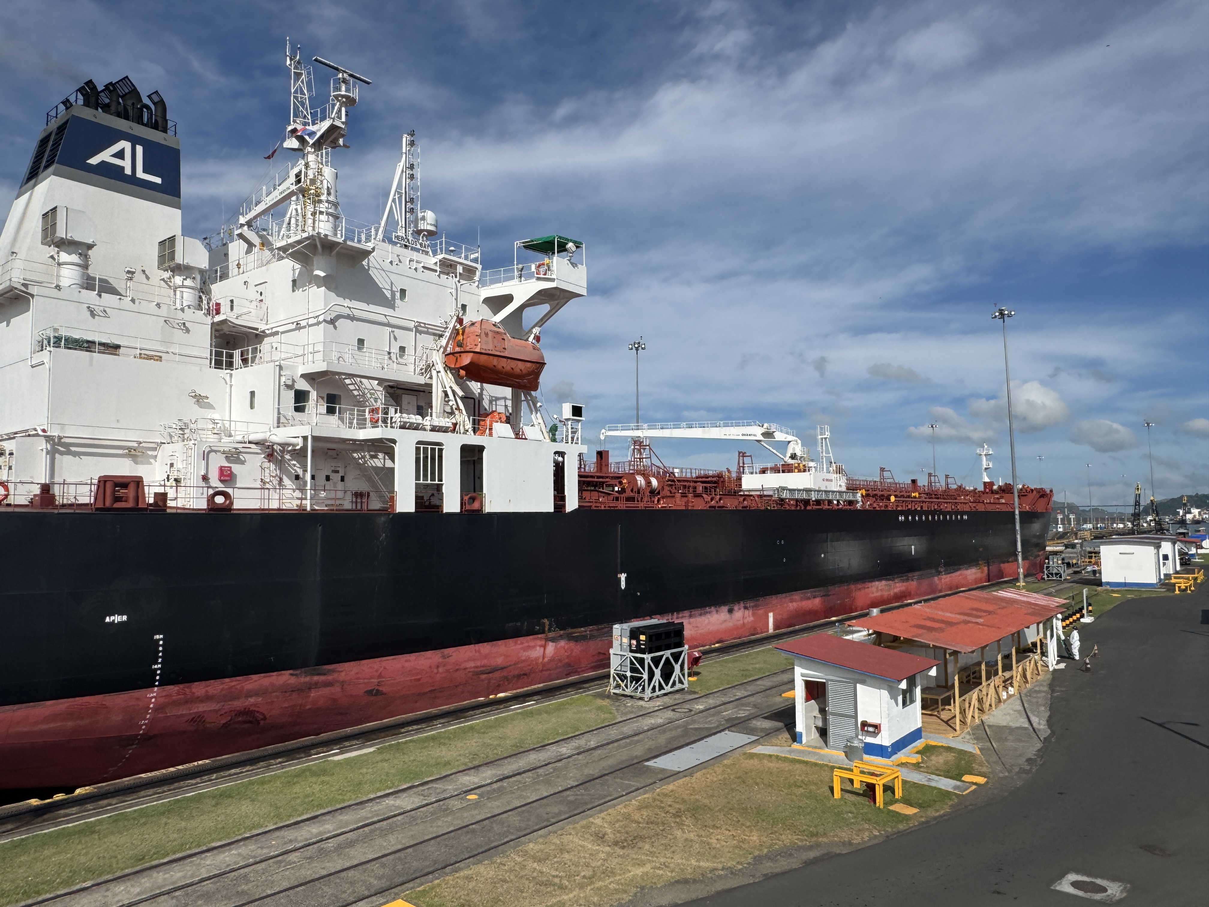
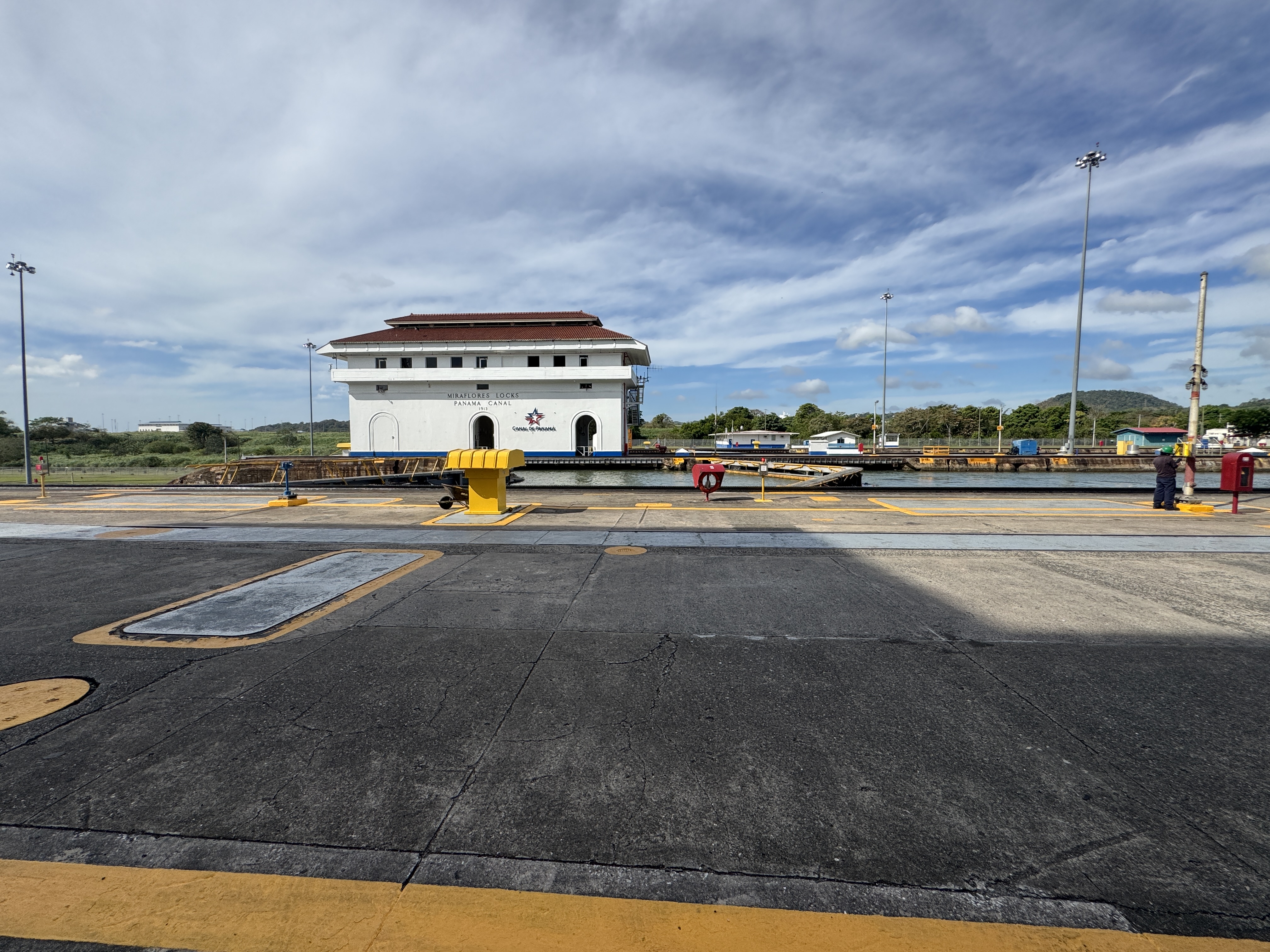
Point your camera carefully, however, and you can exclude the hundreds of people around you and see this tanker as it waits, ever so patiently, for water to lift it 25 feet in about 10 minutes or a bit less. With two locks at Miraflores, the total Miraflores lift is about 50 feet.
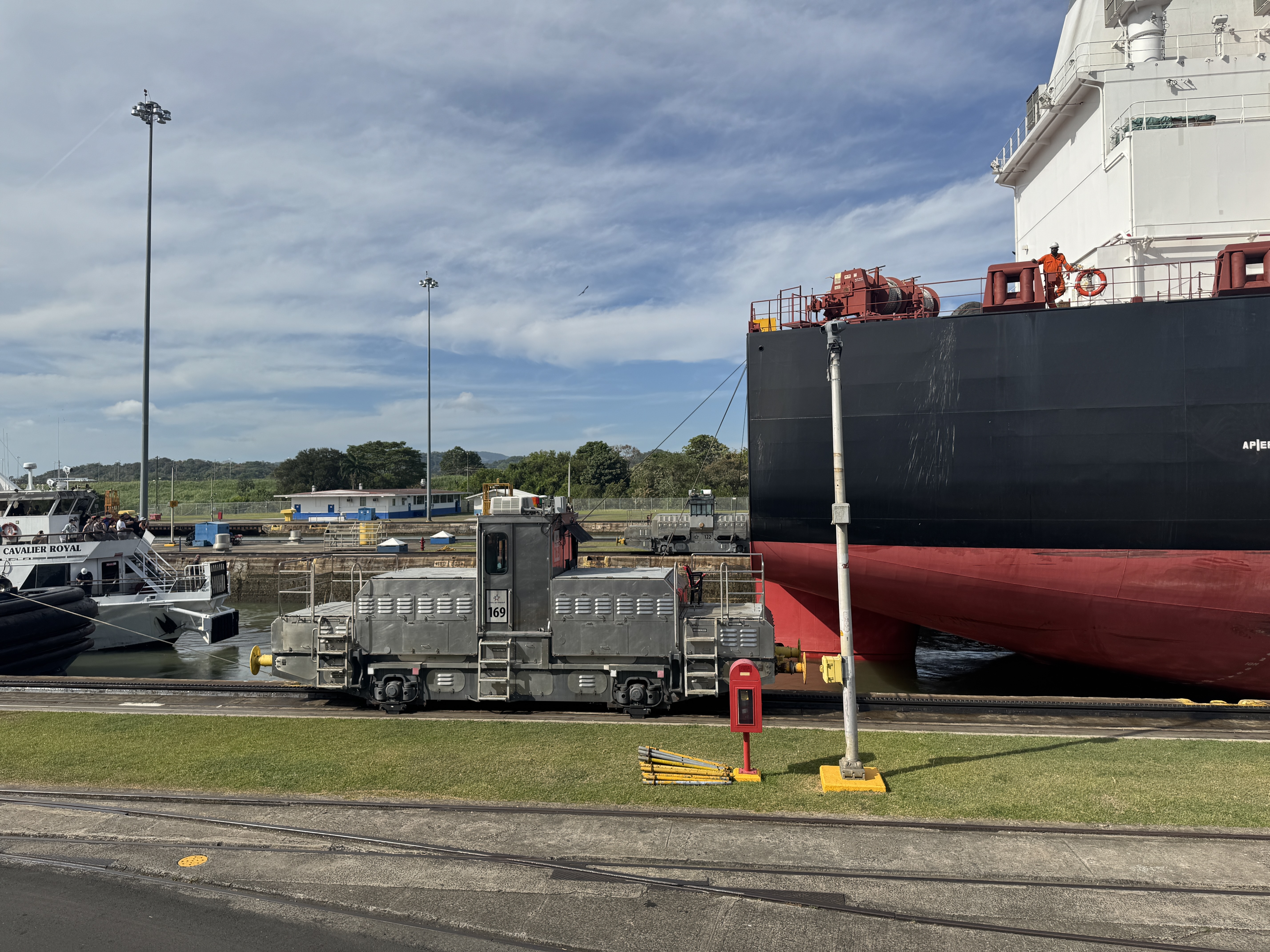
When the ship's ready to move, the lock gates in front of the ship open, and donkey engines start moving at the speed of a crawling baby. Exciting? No, but impressive.
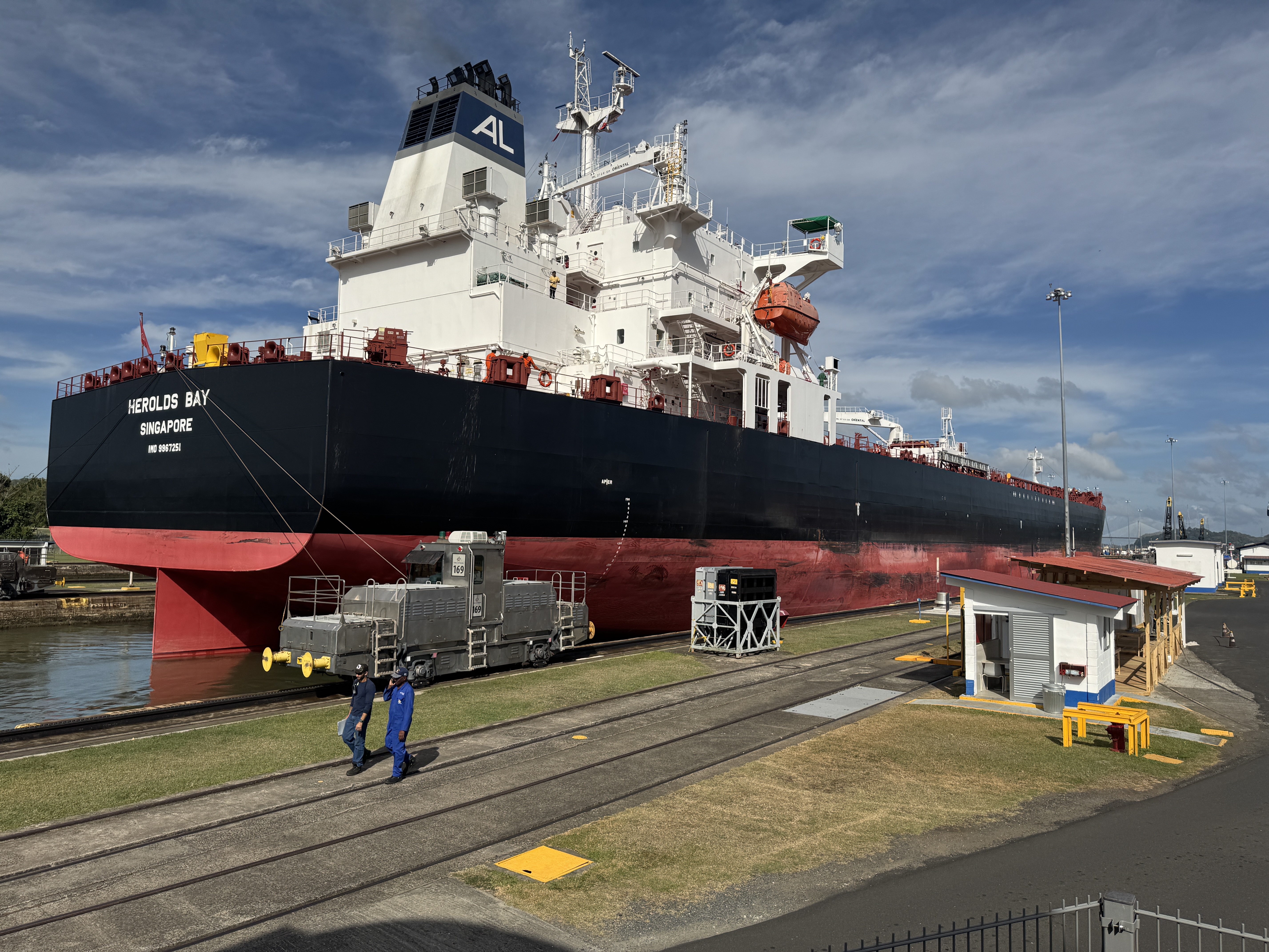
She's a tanker and apparently empty.
You can't follow her as she heads toward the Pedro Miguel lock.
You can, however, get a fair look at the top of the Miraflores miter gates. Here they are, almost submerged.
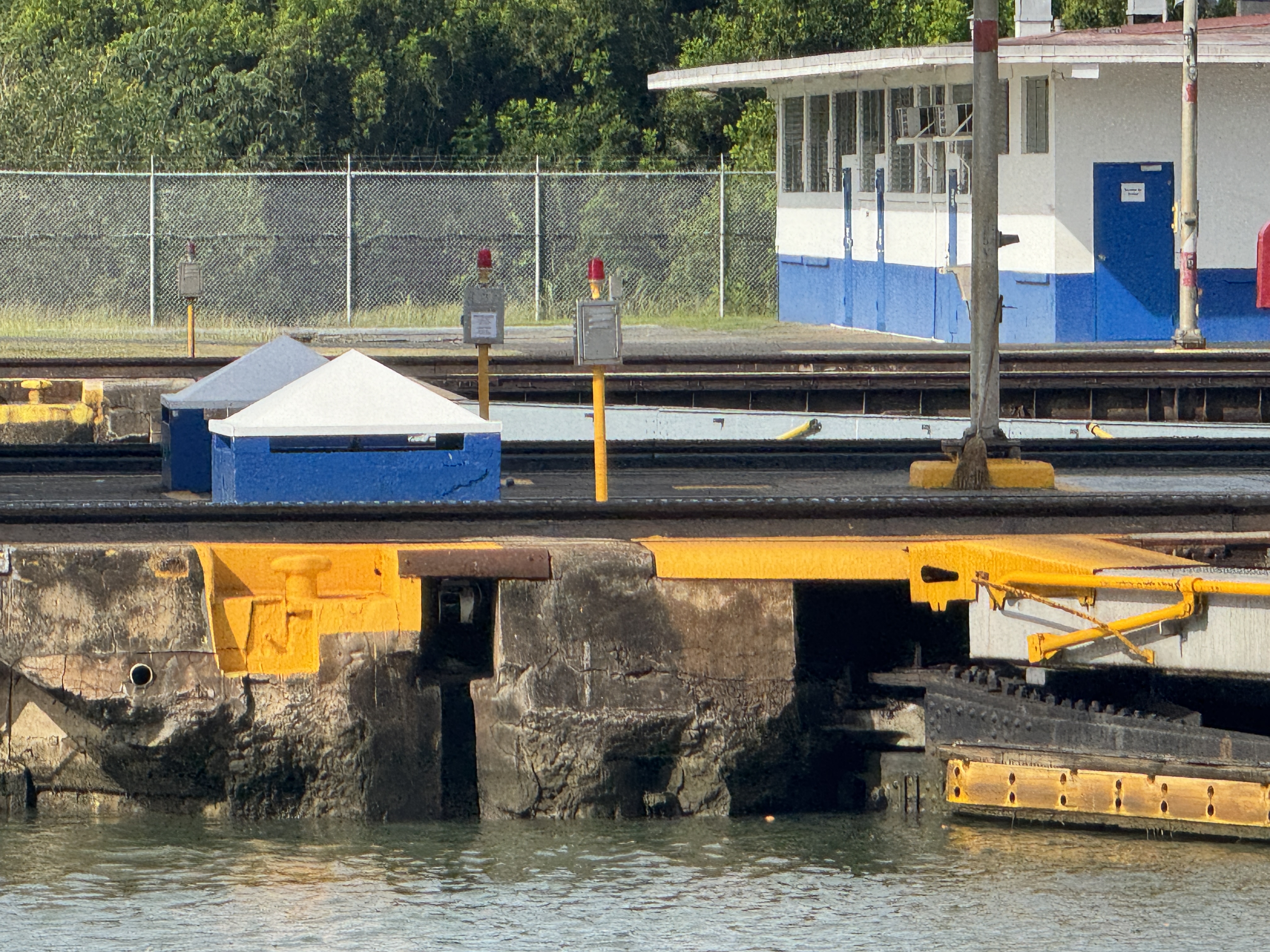
They're original, which is kind of cool, considering that the ships transiting the Canal in 1914 are gone.

There are lots of photos of Frank Stevens and his successor, George Goethals, but damned few of the men who, a step or two below the big bosses, did the dirty work of supervising construction crews. Here's the fellow in charge of the Pacific Division, including Miraflores. I don't think there's any photo of him around the visitor center there. It's a pity. He's Sydney B. Williamson, who had worked with Goethals in Tennessee before coming to Panama and who subsequently worked for the U.S. Bureau of Reclamaion and then embarked on a long international career as a consulting engineer. If I was casting director for a Western, boy, I'd want him for the bad guy. https://www.researchgate.net/publication/269204107TheAmericanEngineersthatBuiltthePanama_Canal/figures?lo=1
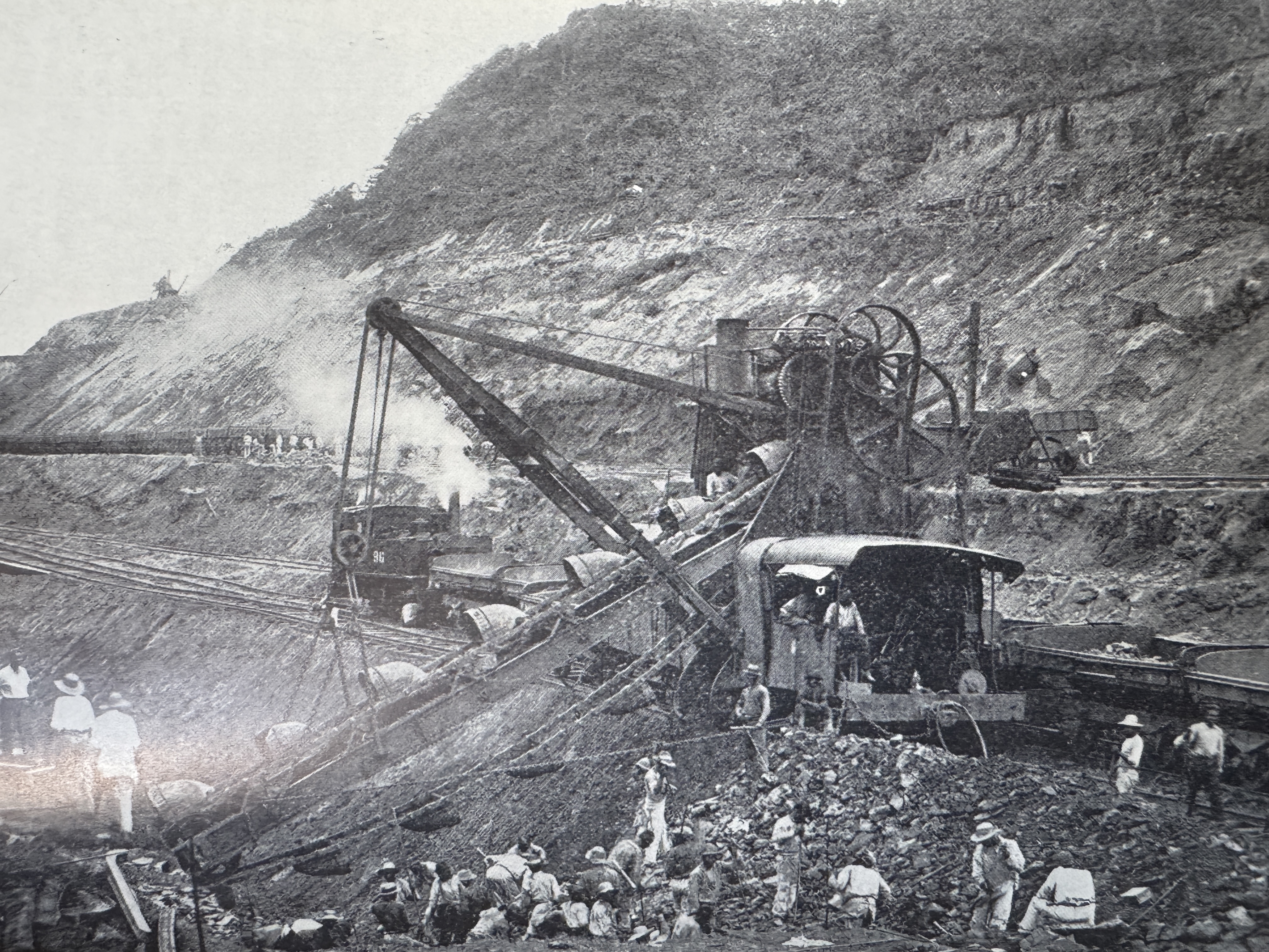
Forget the Pedro Miguel Lock: you can't see it unless you're on a boat. What I most wanted to see, in any case, was the eight-mile-long Culebra Cut through the Continental Divide. (The National Geographic Magazine, Oct. 1905. p. 458)
Until 1913, the digging was done primarily by steam shovels, but the Cut was then deliberately flooded with water from Gatun Lake, and the Cut was completed by floating dredges. Here, both are in use. (Robert E. Wood, Monument for the World, p. 39)
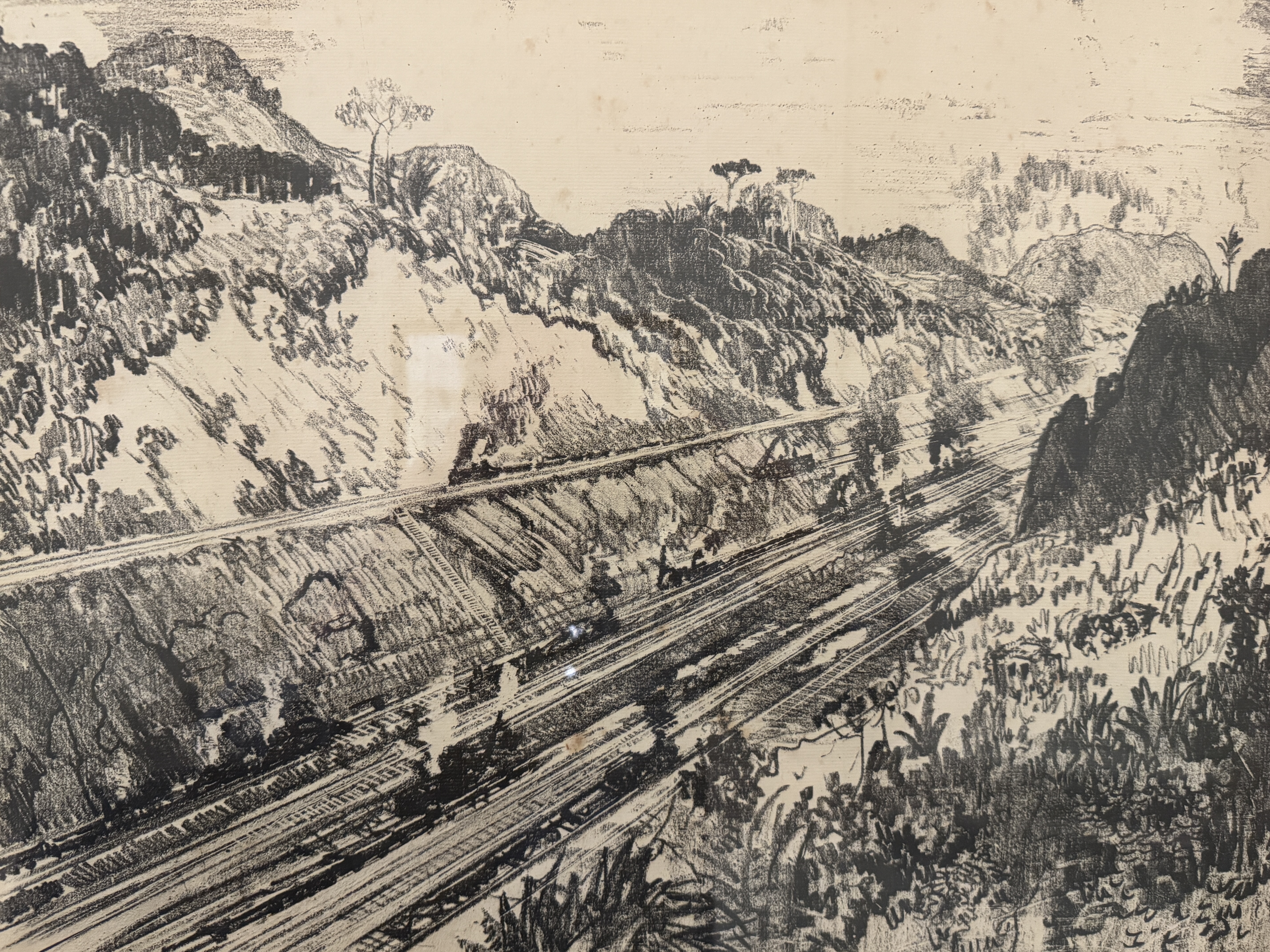
Joseph Pennell, a student of Thomas Eakins, sketches the Cut as a heroic undertaking. (Joseph Pennell's Pictures of the Panama Canal, 1913, no pagination, the drawing is titled "In the Cut at Las Cascadas.")
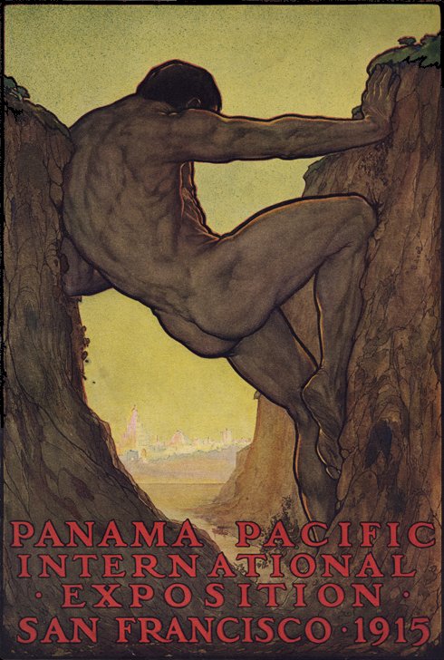
Here's an even more heroic interpretation. The painter was Perham Wilhelm Nahl, a native of San Francisco and by 1915 on the art faculty at UC Berkeley. (Yes, yes, there was no other UC at that time, so adding Berkeley is superfluous. Call me a pedant, but you started it!) (https://blog.rootsofprogress.org/the-13th-labor-of-hercules))
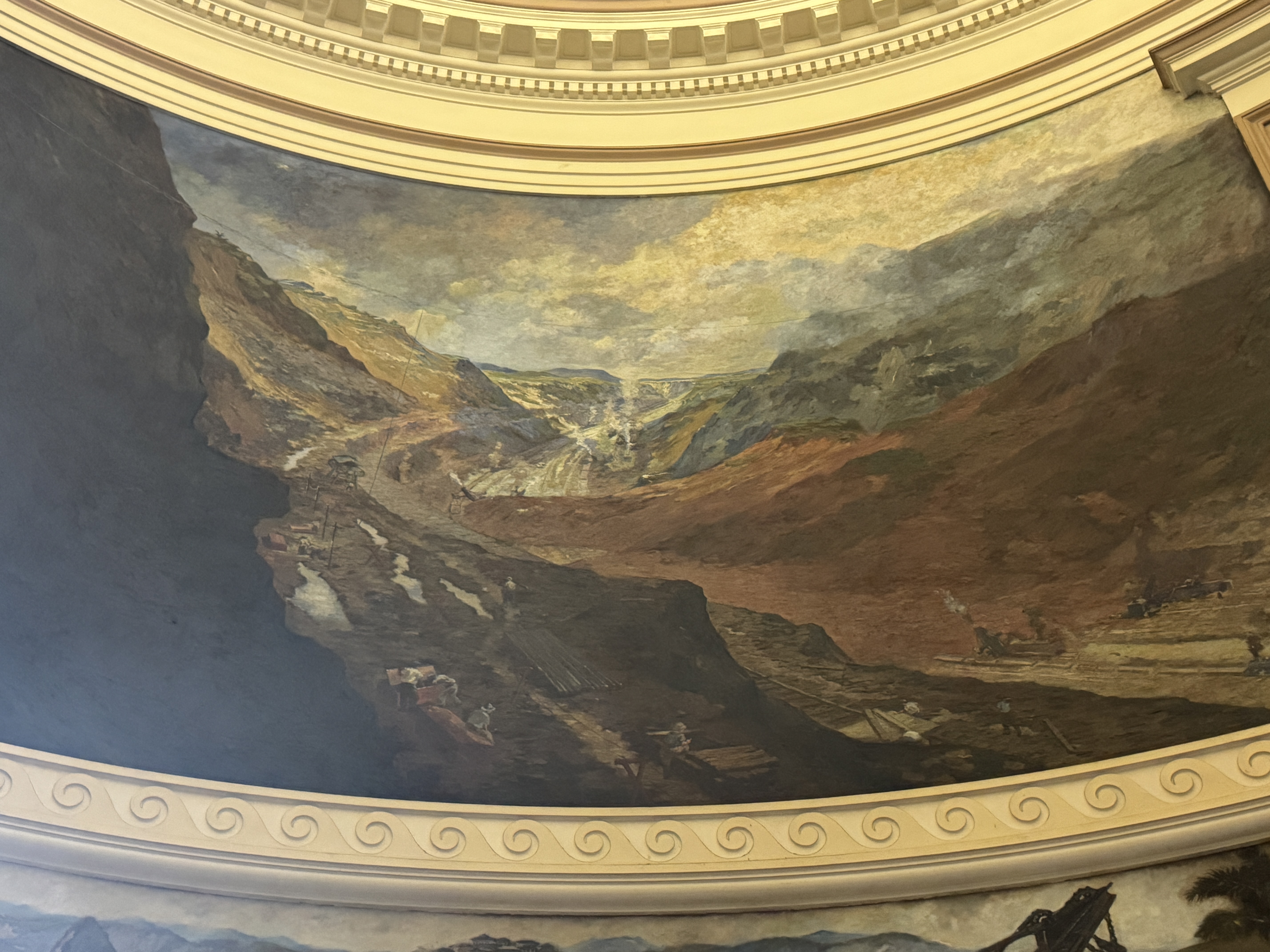
The Cut is celebrated in one of the four murals under the dome of the administration building at Balboa. The painter was William B. Van Ingen, who, like Pennell, was a student of Thomas Eakins.

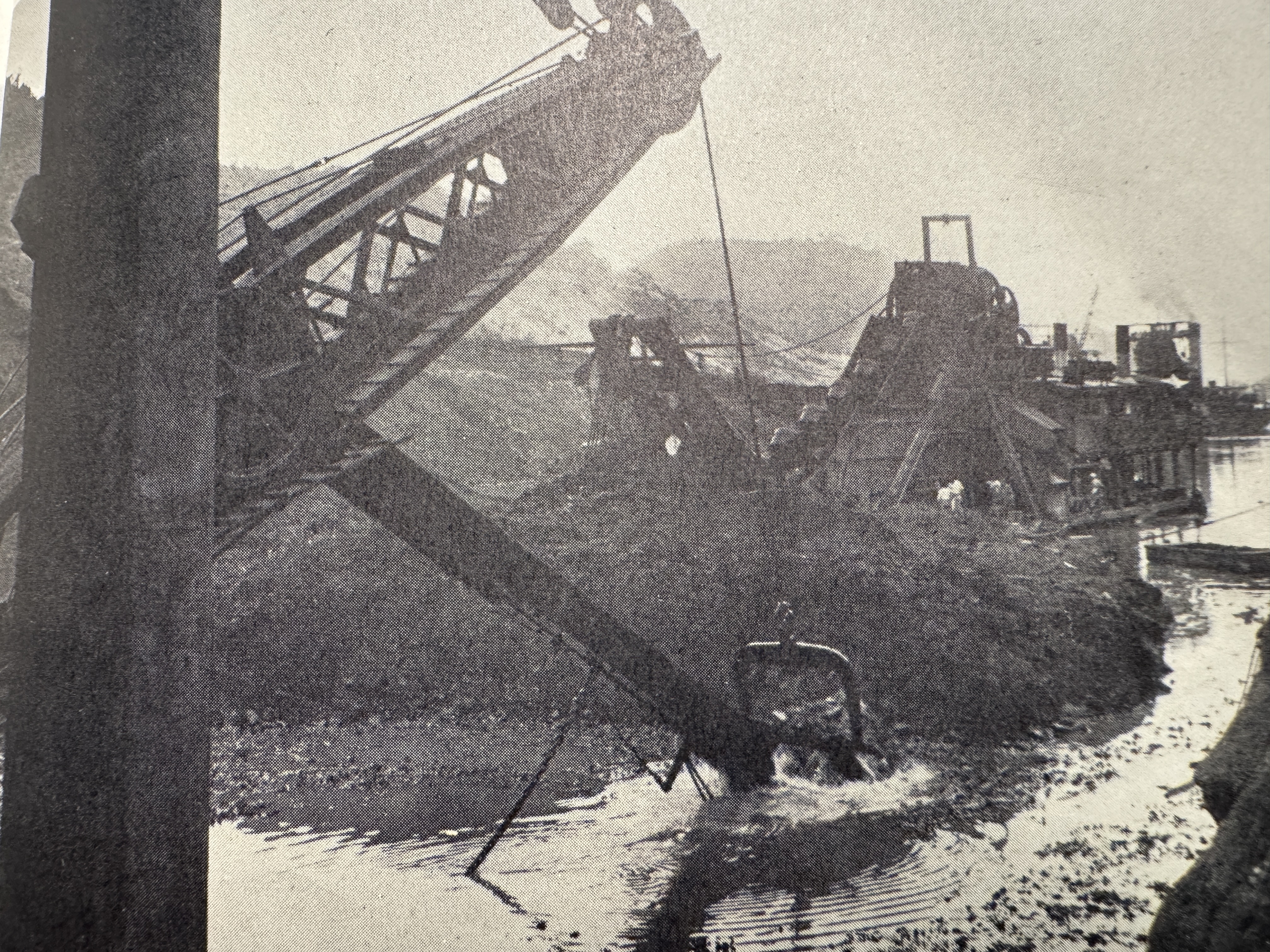
For the sheer scope of the thing, it's hard to top this photo. The bridge was temporary. (https://www.researchgate.net/publication/269204107TheAmericanEngineersthatBuiltthePanama_Canal/figures?lo=1)
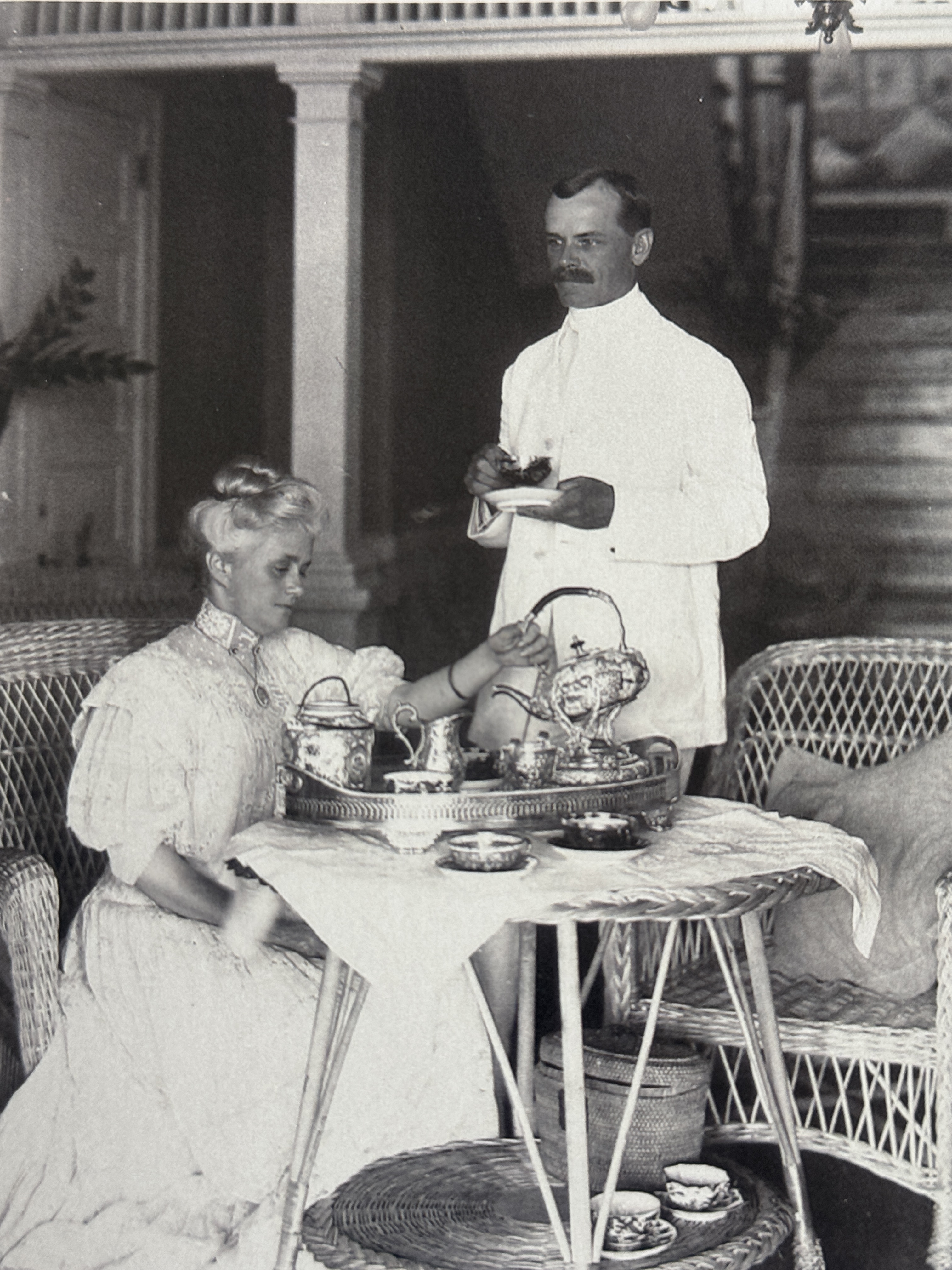
Here's Colonel David Gaillard, superintendent of work at the Cut. Think he and his wife are back home in South Carolina?
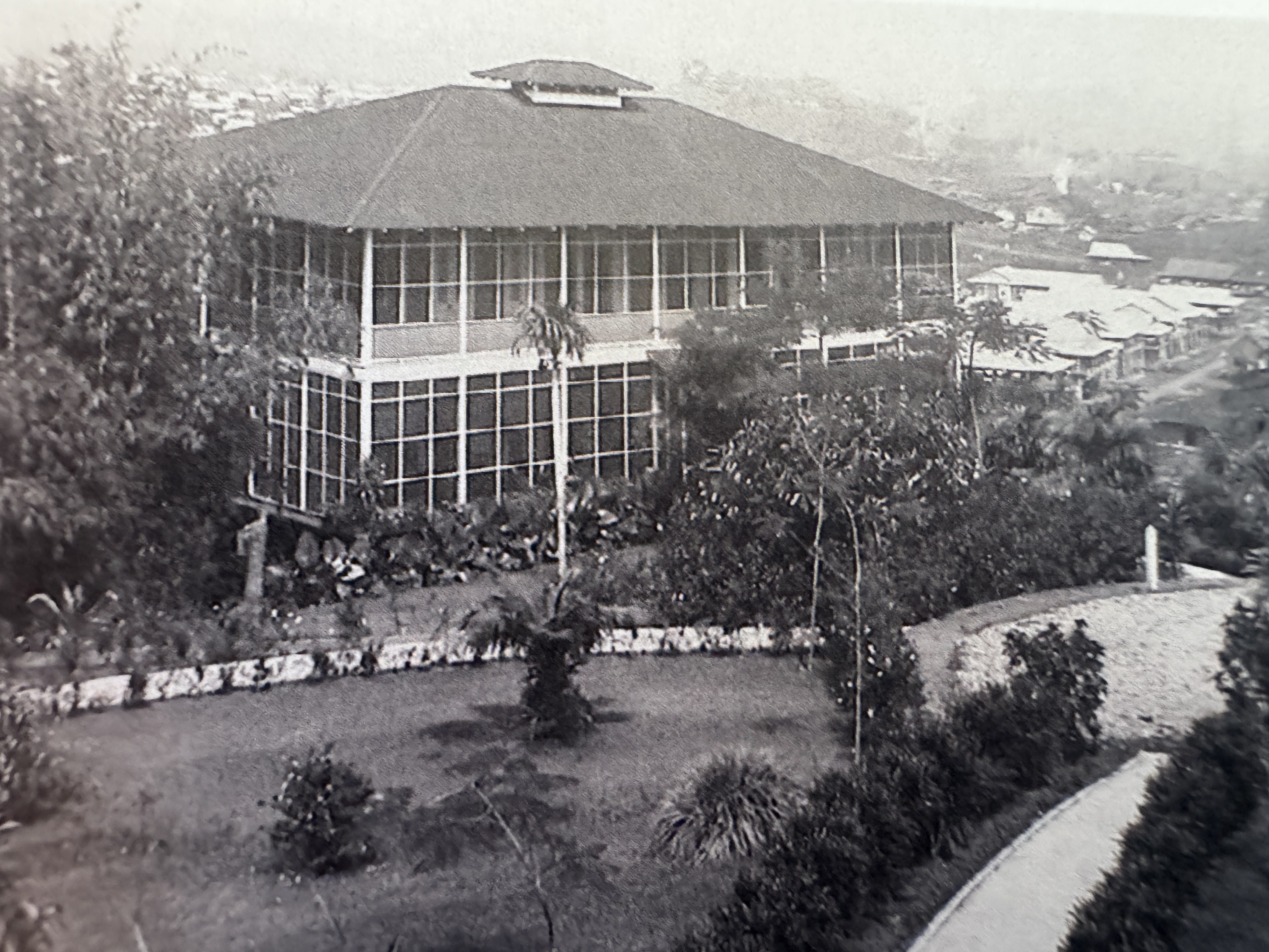
Not at all, they were on site in this spacious and tightly screened house. Despite the silver service, Gaillard worked like a dog and died of a brain tumor just before the Canal opened. From 1919 to 2000, the Culebra Cut was the Gaillard Cut in his honor. (Edith Crouch, Architecture of the Panama Canal Zone, 2014, p.333)
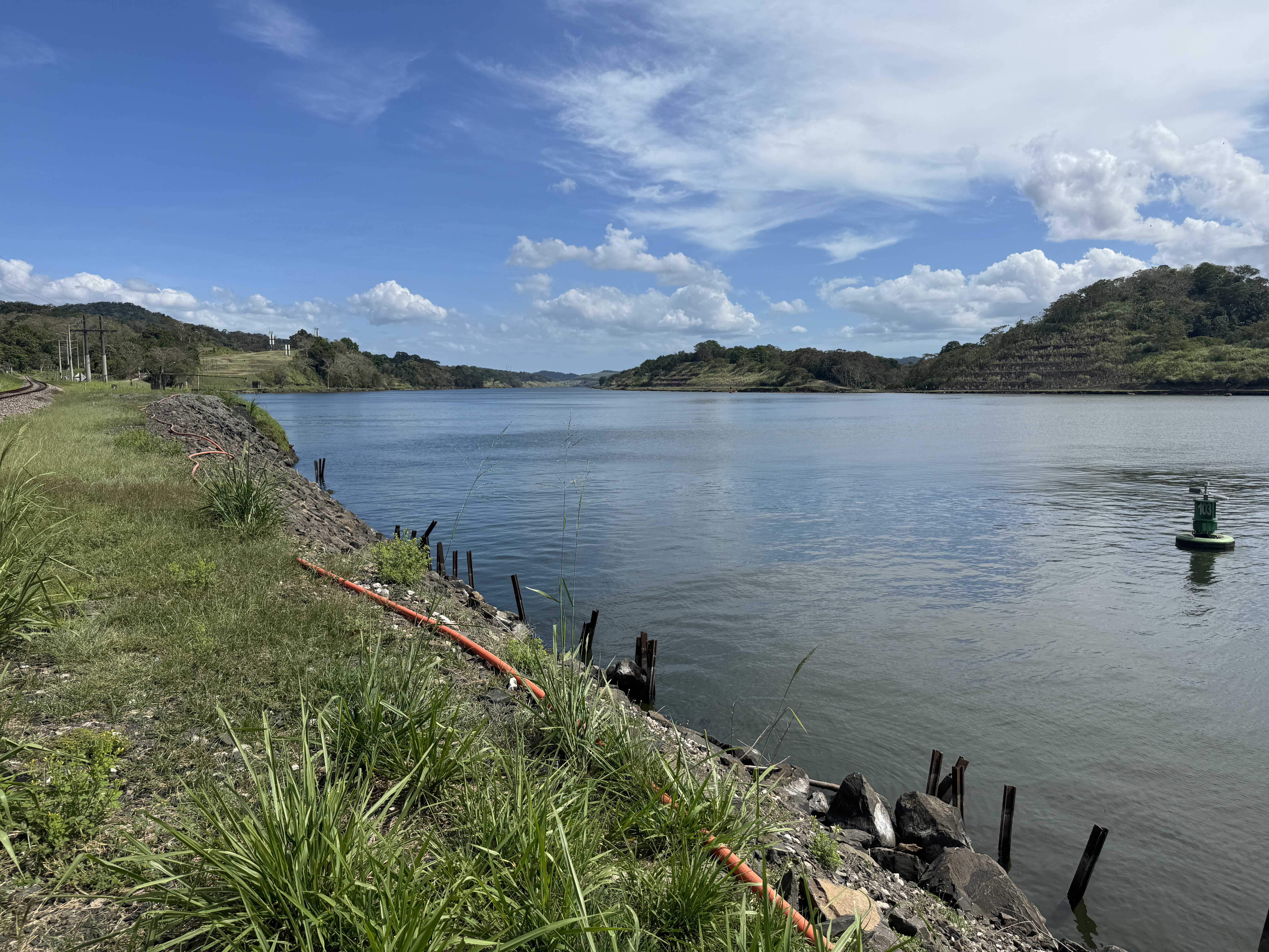
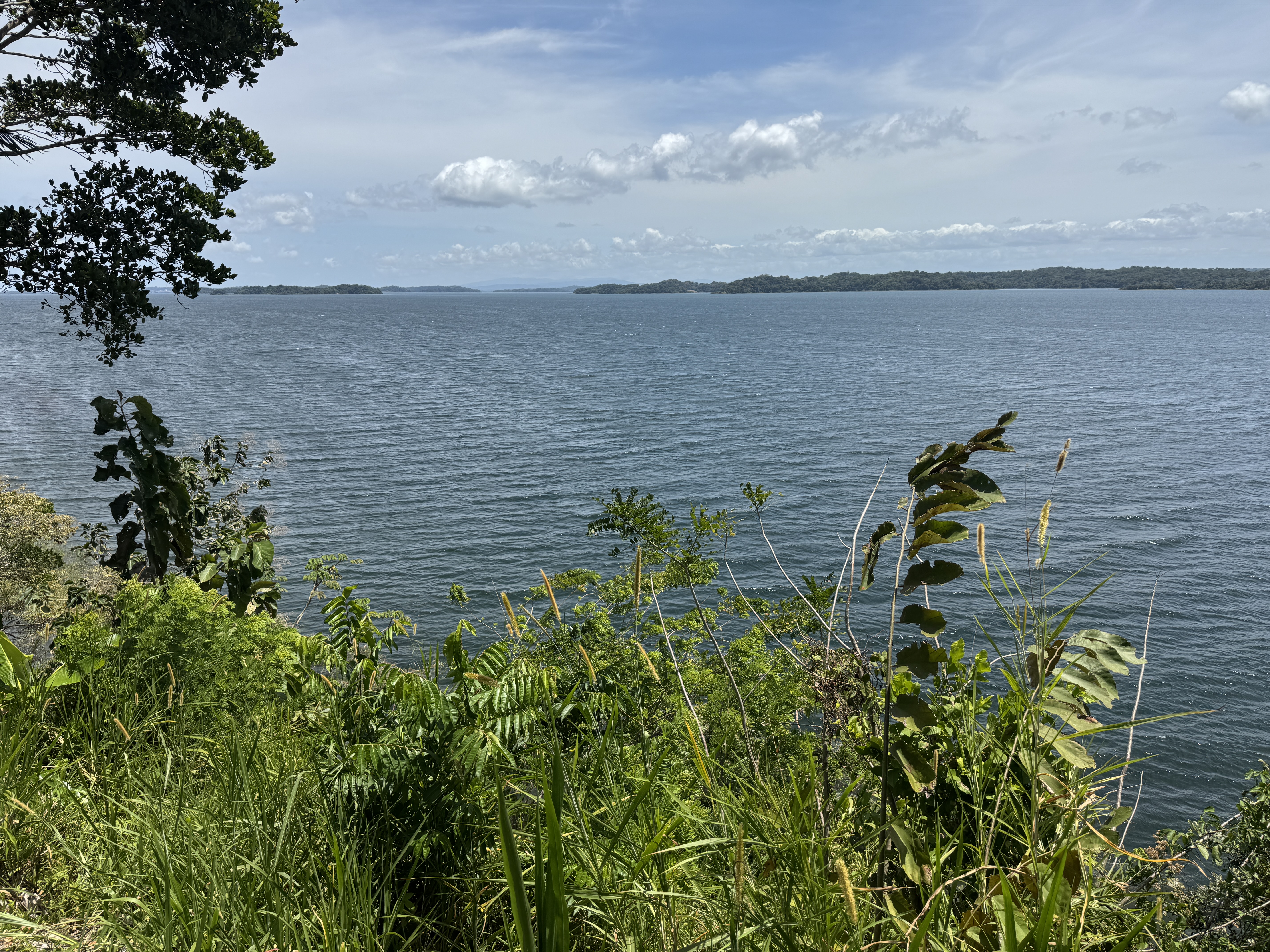
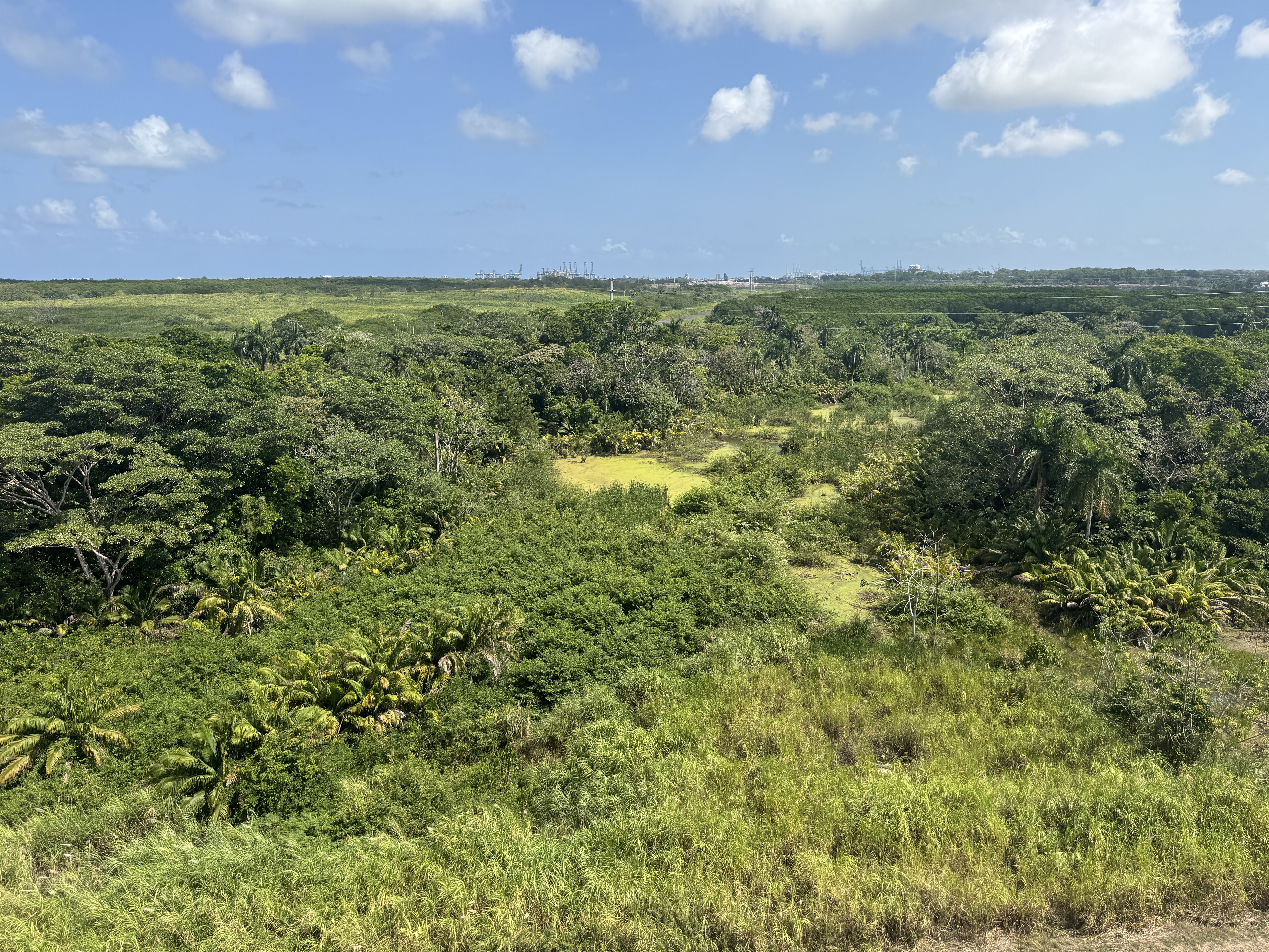
There are several roads to the Cut, but they're blocked or guarded. The closest I could get was the western end of Gatun Lake.
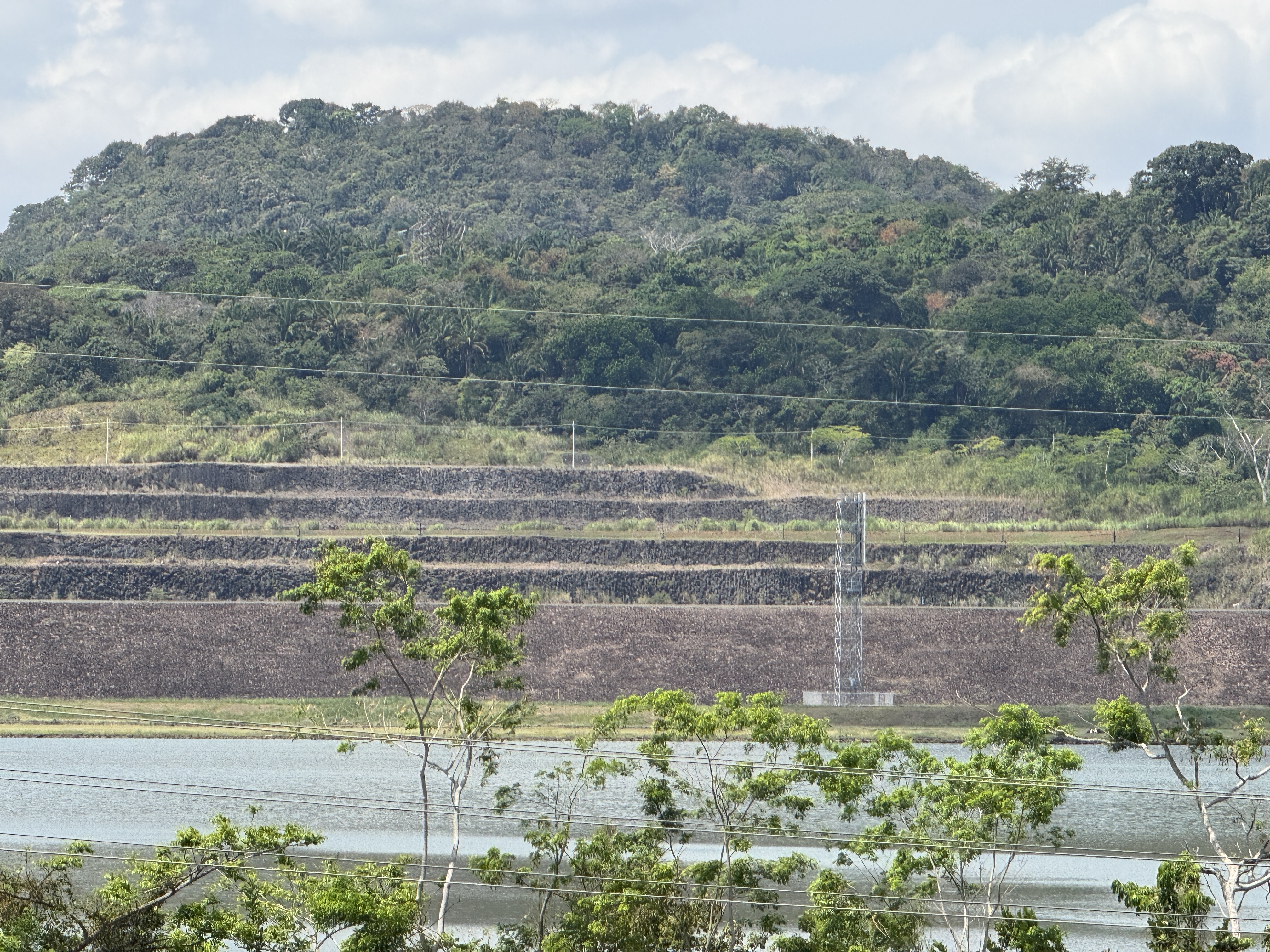
I could get only glimpses of the Cut's terracing.
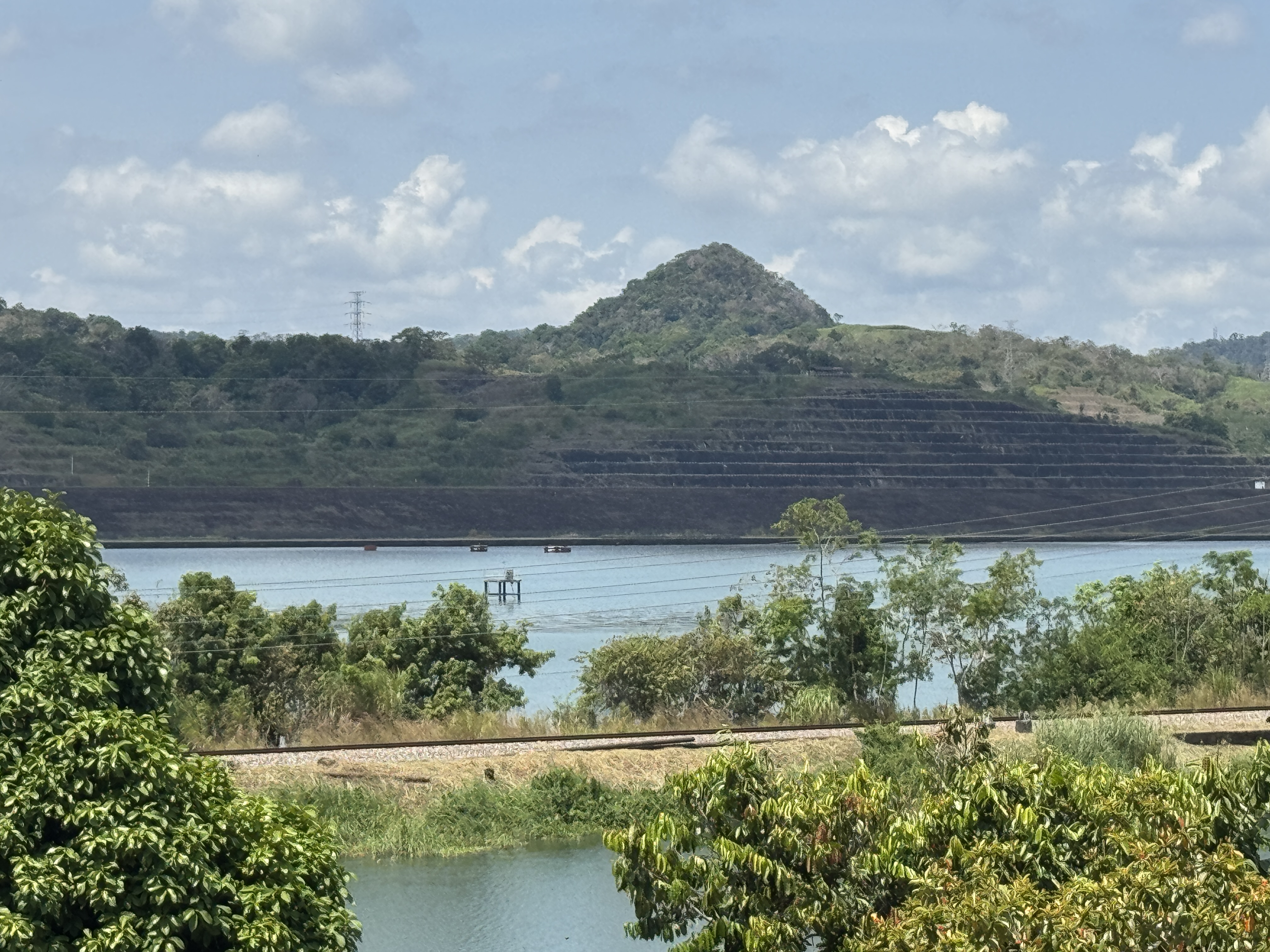
It's here, too, competing with some sagging electrical wires.
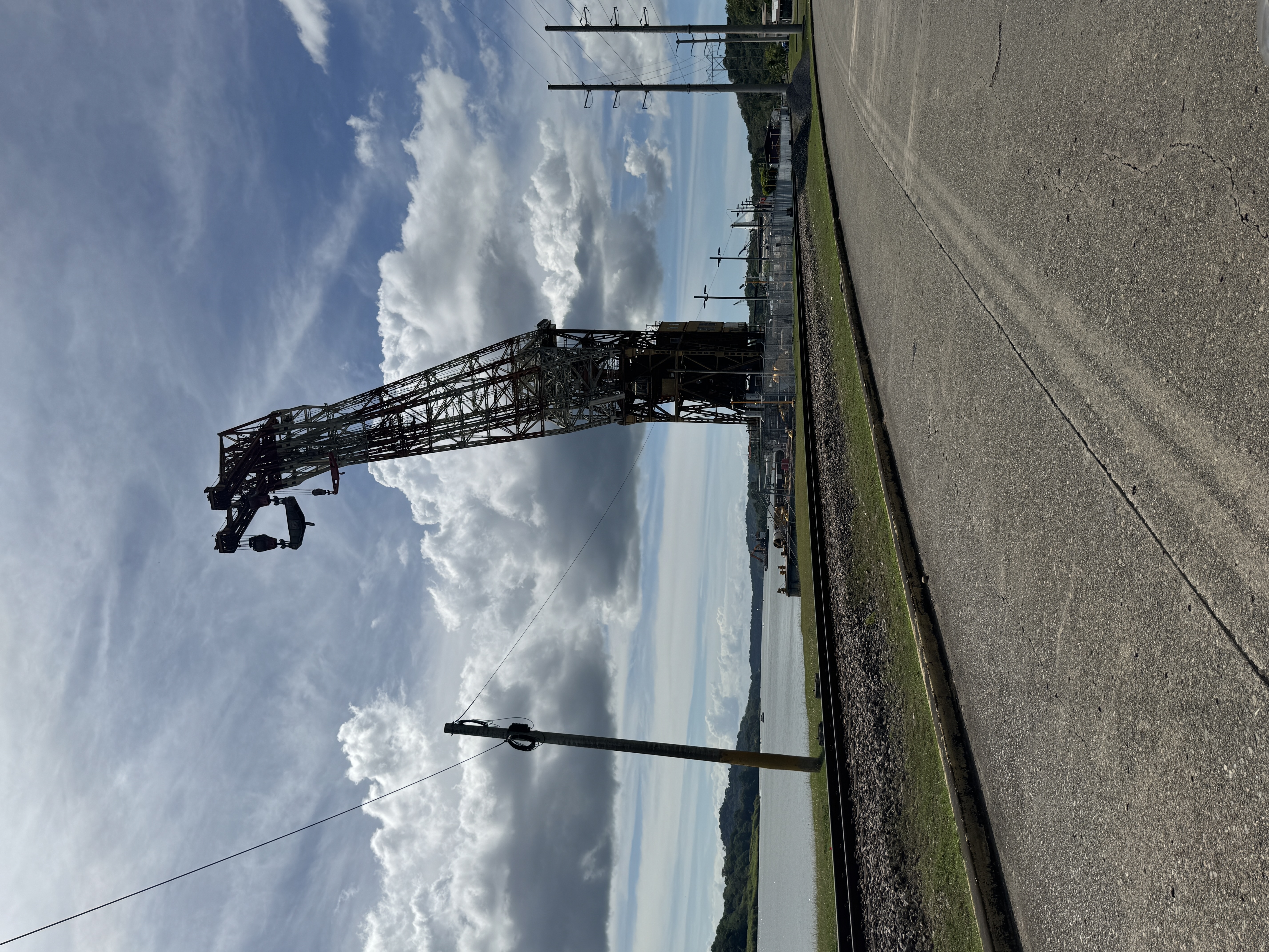
The Canal's Dredging Division was moved in 1936 to where the Culebra Cut meets Gatun Lake. The place is called Gamboa, and it's the home of several heroic floating cranes, all made in Germany. This one is called Hercules; its twin, Ajax, was sold long again to somebody in Venezuela. They originally ran on charcoal, but were converted in 1966 to oil. In the 1990s, with Ajax gone, Hercules was retired to standby status.
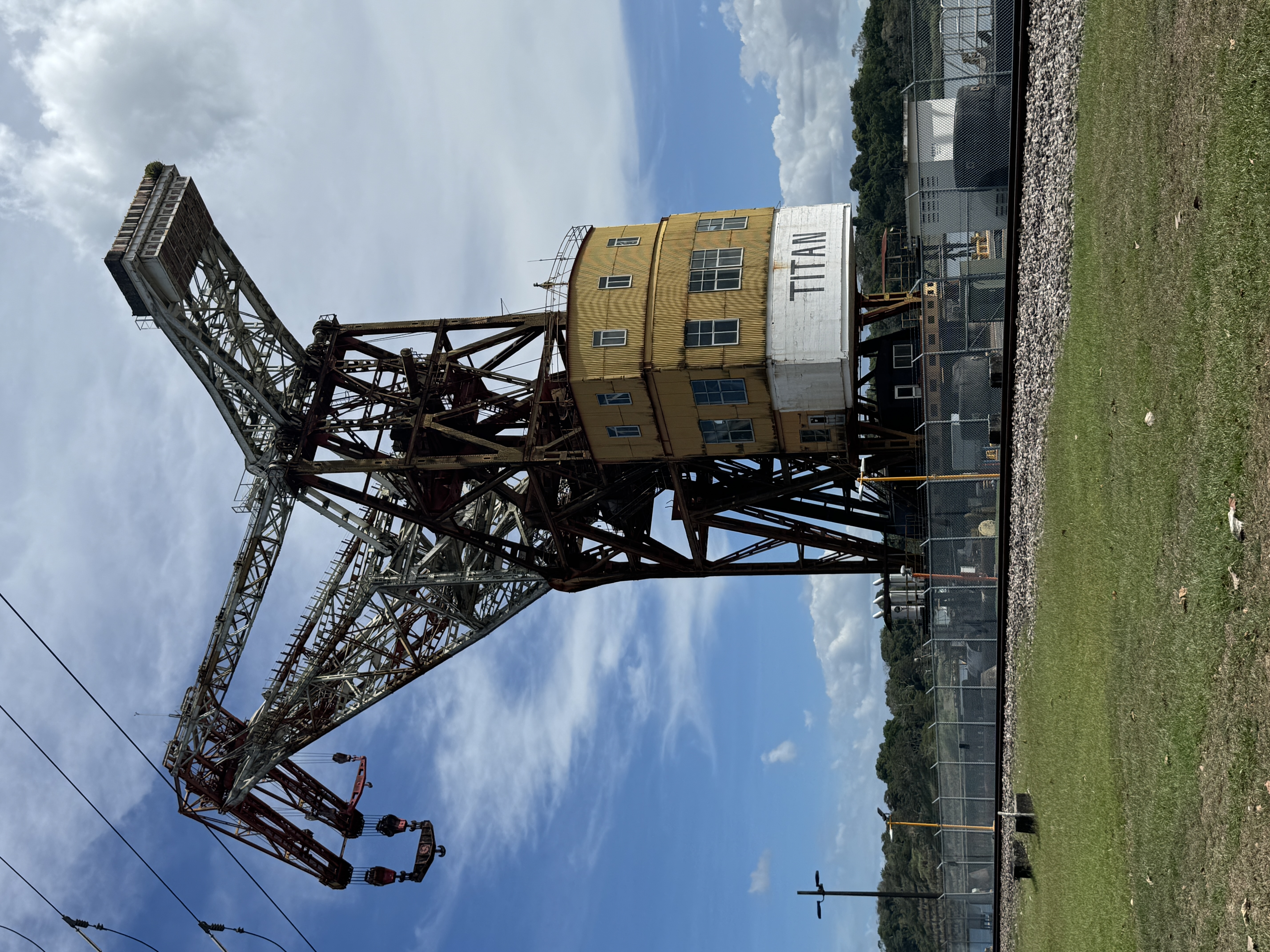
It was replaced by Titan, also known, less tactfully, as Herman the German.
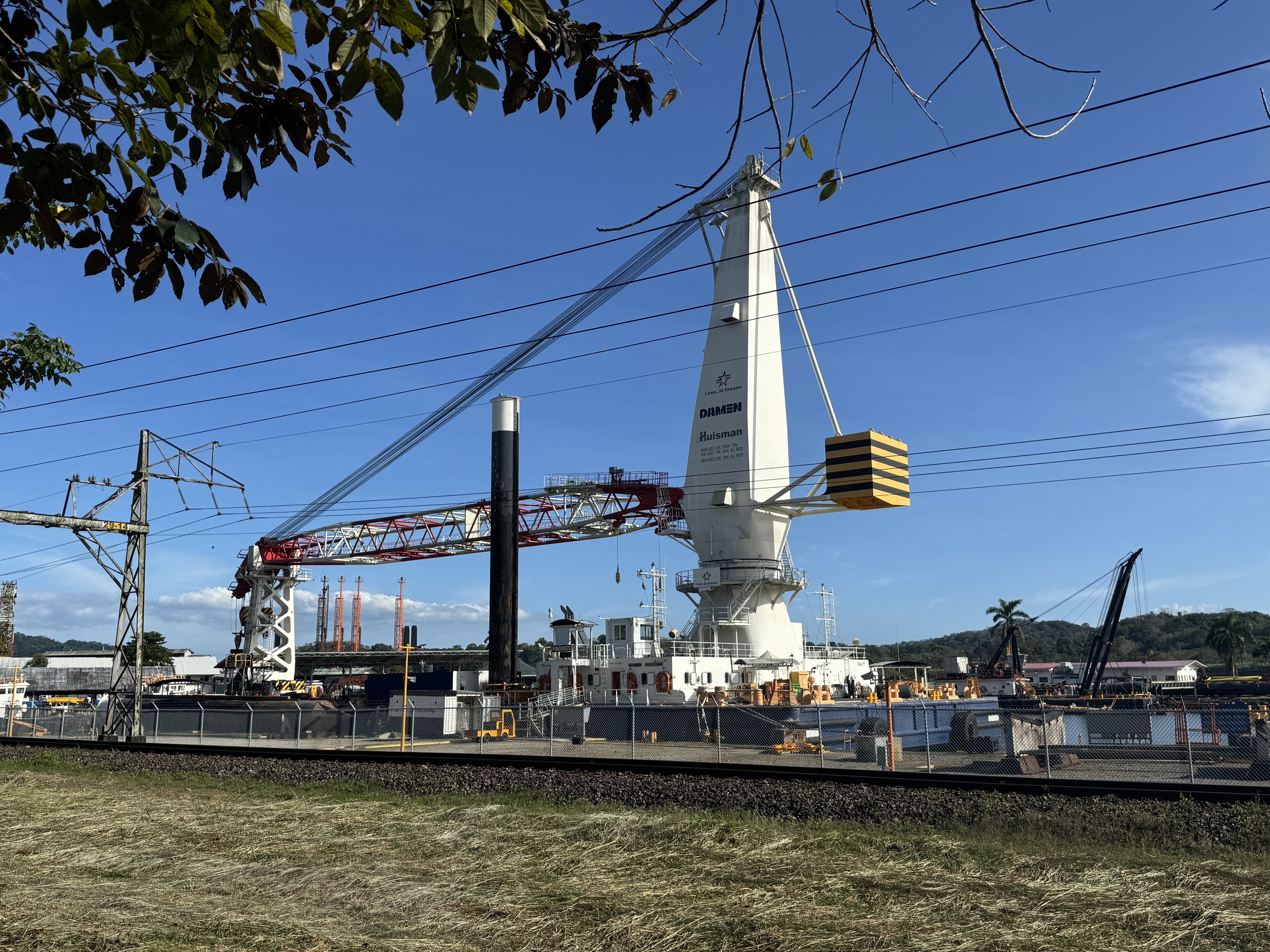
This crane arrived in 2023 and is able to hoist 625 metric tons at a distance of 25 meters from the spar. (Poor Hercules could only manage 250 tons close in.) Why am I taking pictures of these things? What is their appeal? I'm trying to grow up, but it's hard.
Gatun lake is formed by Gutun Dam blocking the Chagres River. (Why don't we call it Gatun Reservoir? I don't know. What do we call the reservoir behind Hoover Dam? Lake Mead. Go figure.)
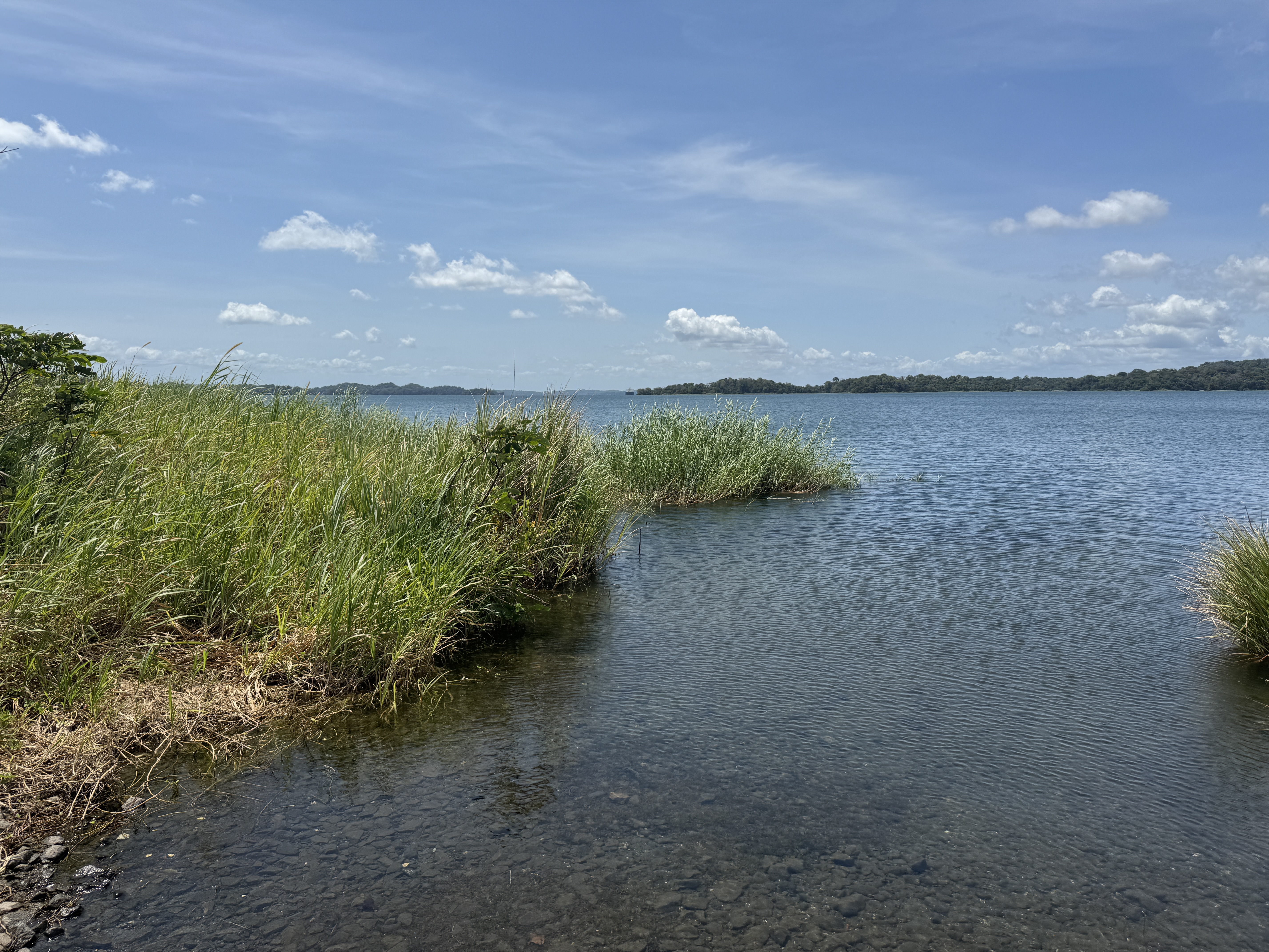
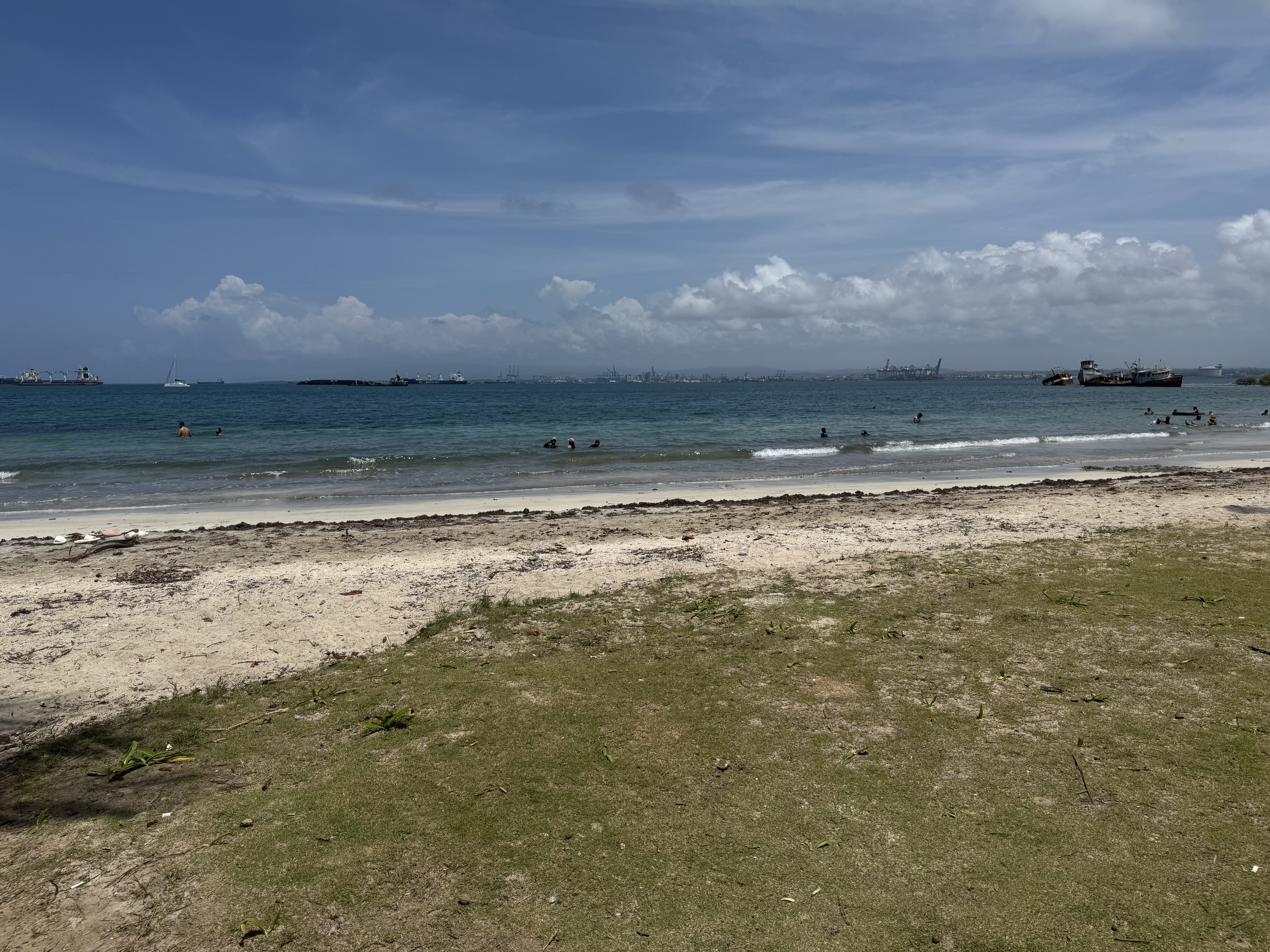
Get down to the edge, and there's stuff growing. Just try finding a beach. I failed.
Harry A. Franck, a Canal Zone policeman, mused while riding the Panama Railroad: "...soon the Spillway at Gatun is to close its gates and all this vast region will be flooded and come to be Gatun Lake.... where we were now racing northwestward through brilliant sunshine and Atlantic breezes would soon be the bottom of a lake over which great ocean steamers will glide...." (Harry Franck, Zone Policeman 88, 1913, p. 71)
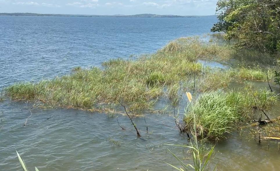
Here's something interesting, though. It's a branch of the lake. Odd shape, huh? Guess what: it's a flooded bit of the never-completed French canal.
If you go below Gatun Dam, that same old canal is barely visible.
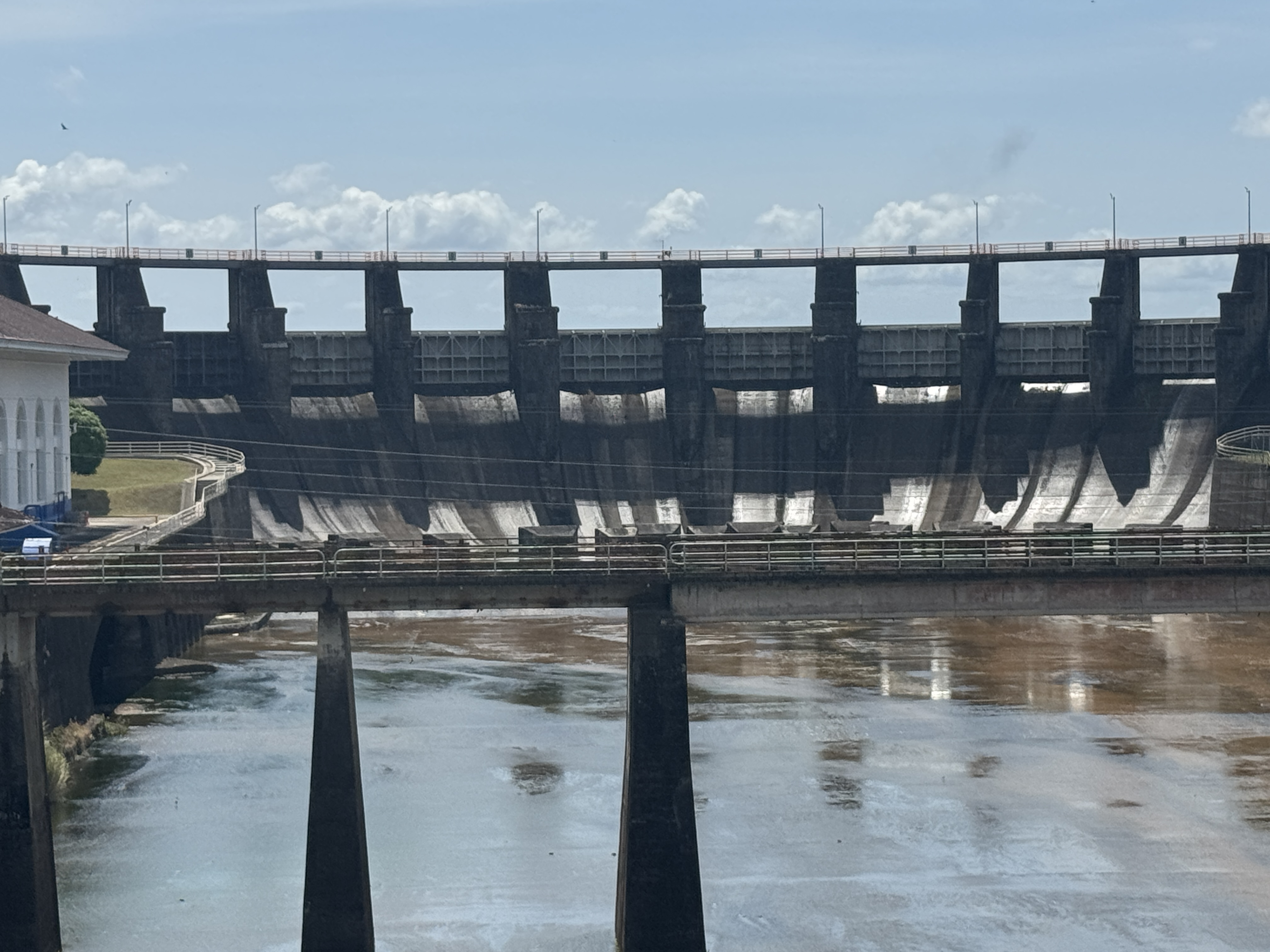
This isn't the Gatun Dam. It's merely the spillway of the dam, which is a mile-long pile of 21 million cubic yards of dirt. John Stevens called it "the key to the arch of the whole gigantic creation." Don't wait around to see torrents of water. Every ship passing through the Canal requires the release of 50 million gallons. There's none to waste here. The building to the left is a hydropower station, but I suspect it generates little or nothing. ( John F. Stevens, An Engineer's Recollections, 1936, p. 42)
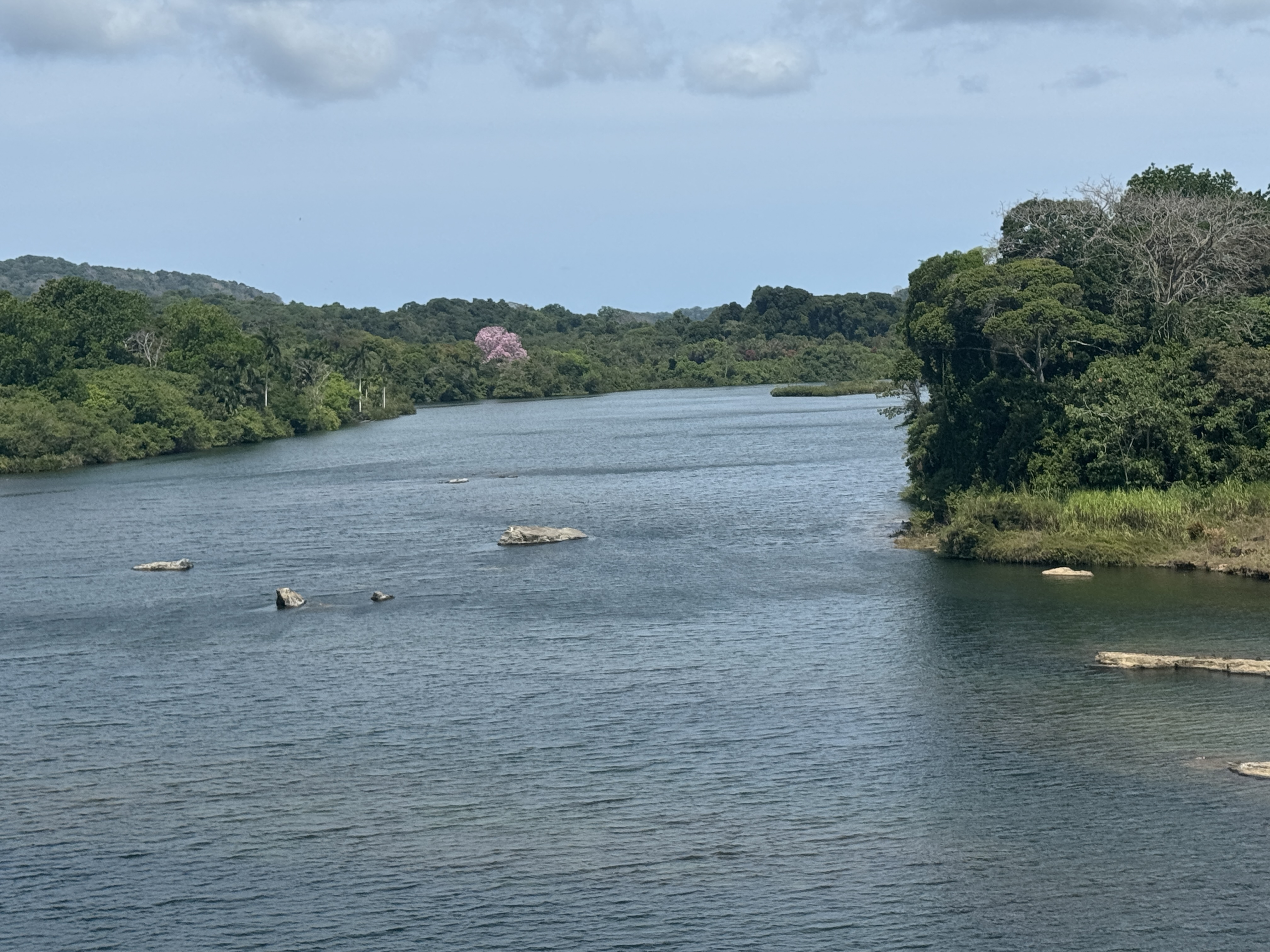
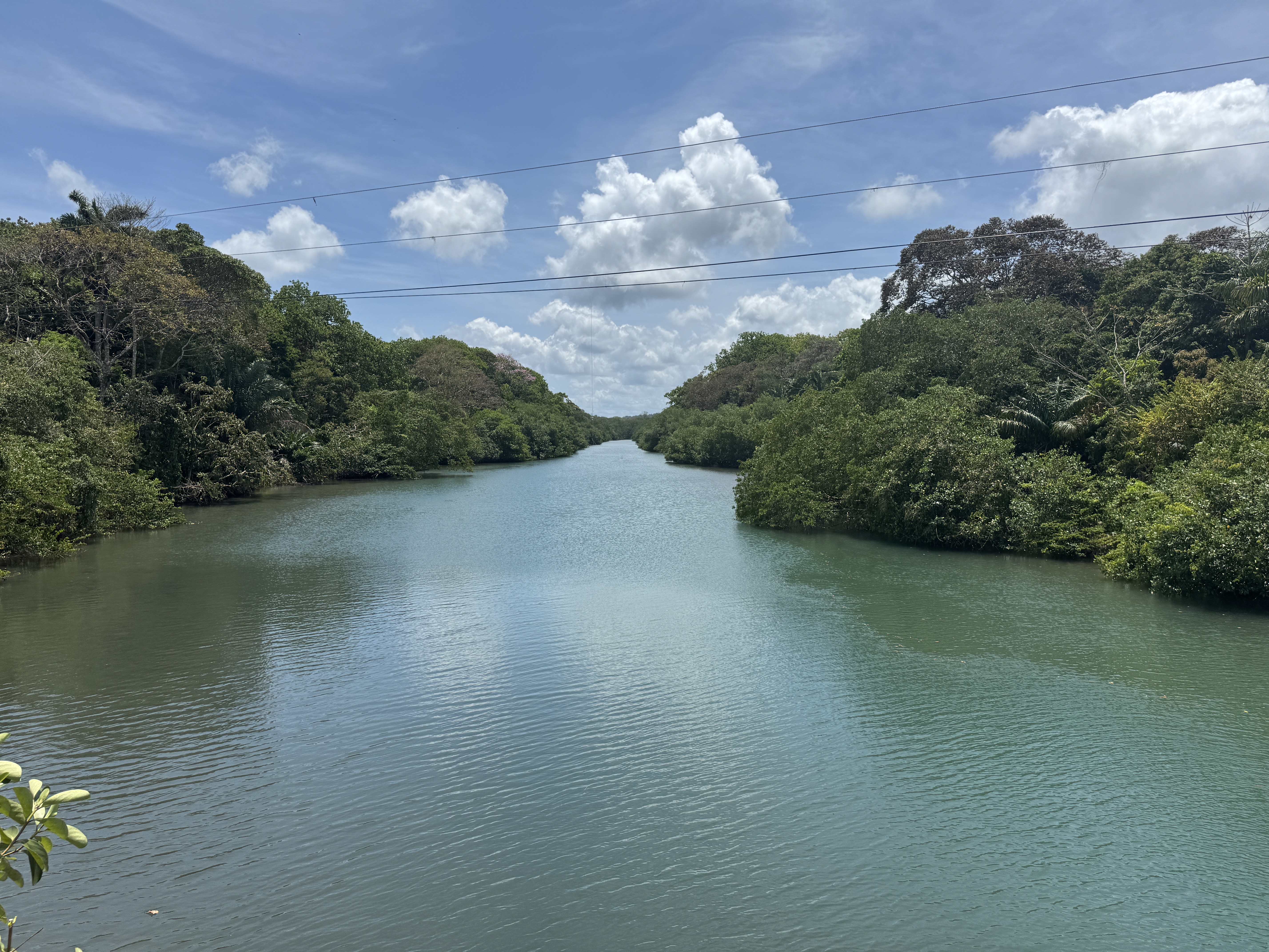
Here's the Chagres River just below the spillway and about six miles from the Atlantic. It looks like a big river, but it's a tidal inlet now, its bed below sea level.
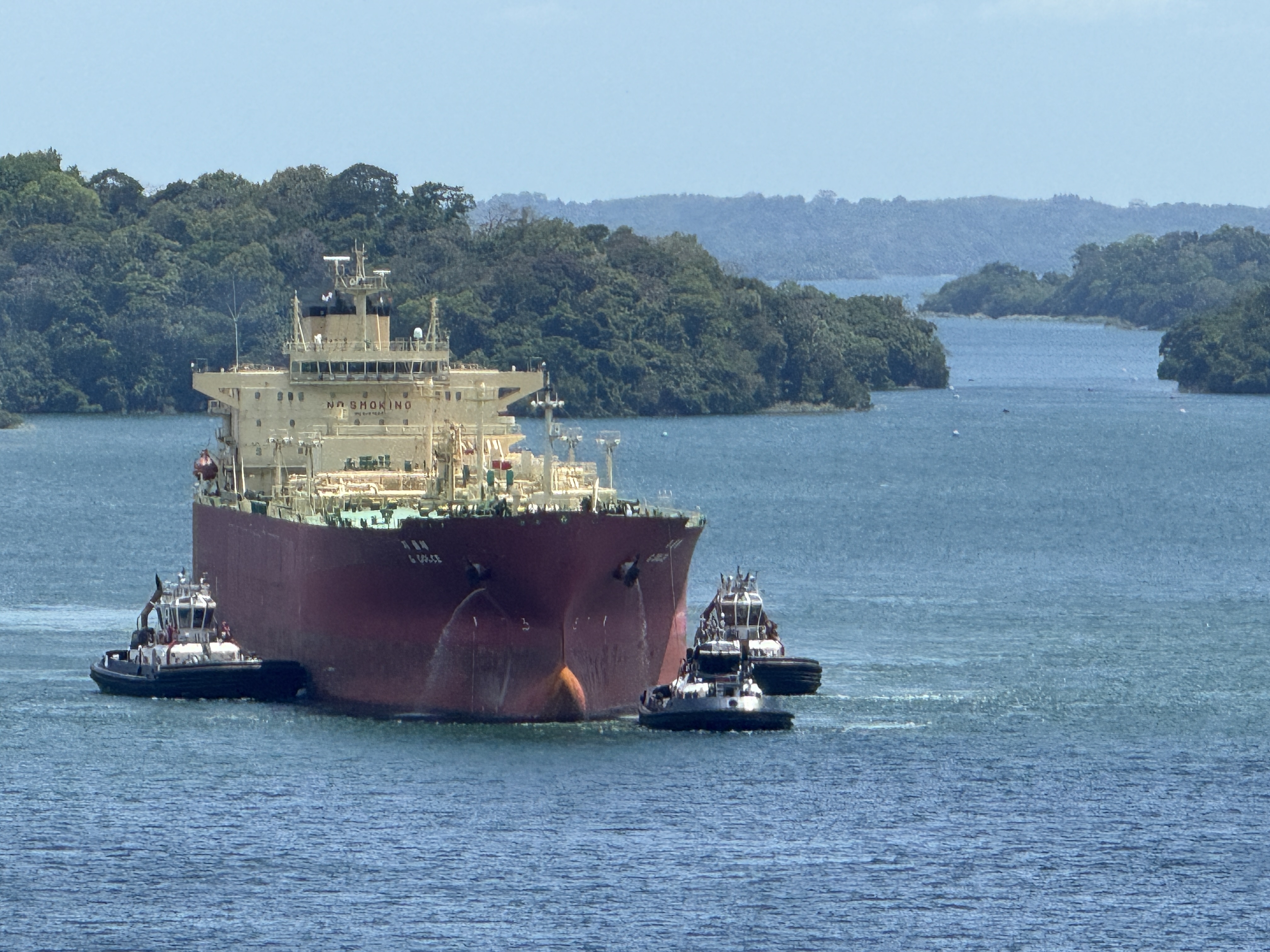
And here, back at the lake, tugs guide a ship into the Gatun Locks. Well, that's not quite true. They're guiding it toward the Agua Clara Locks, opened in 2016 as part of the Canal's expansion.
There's a visitor center here, too. It isn't as crowded as Miraflores and is half the price. I think there may have been a movie included.
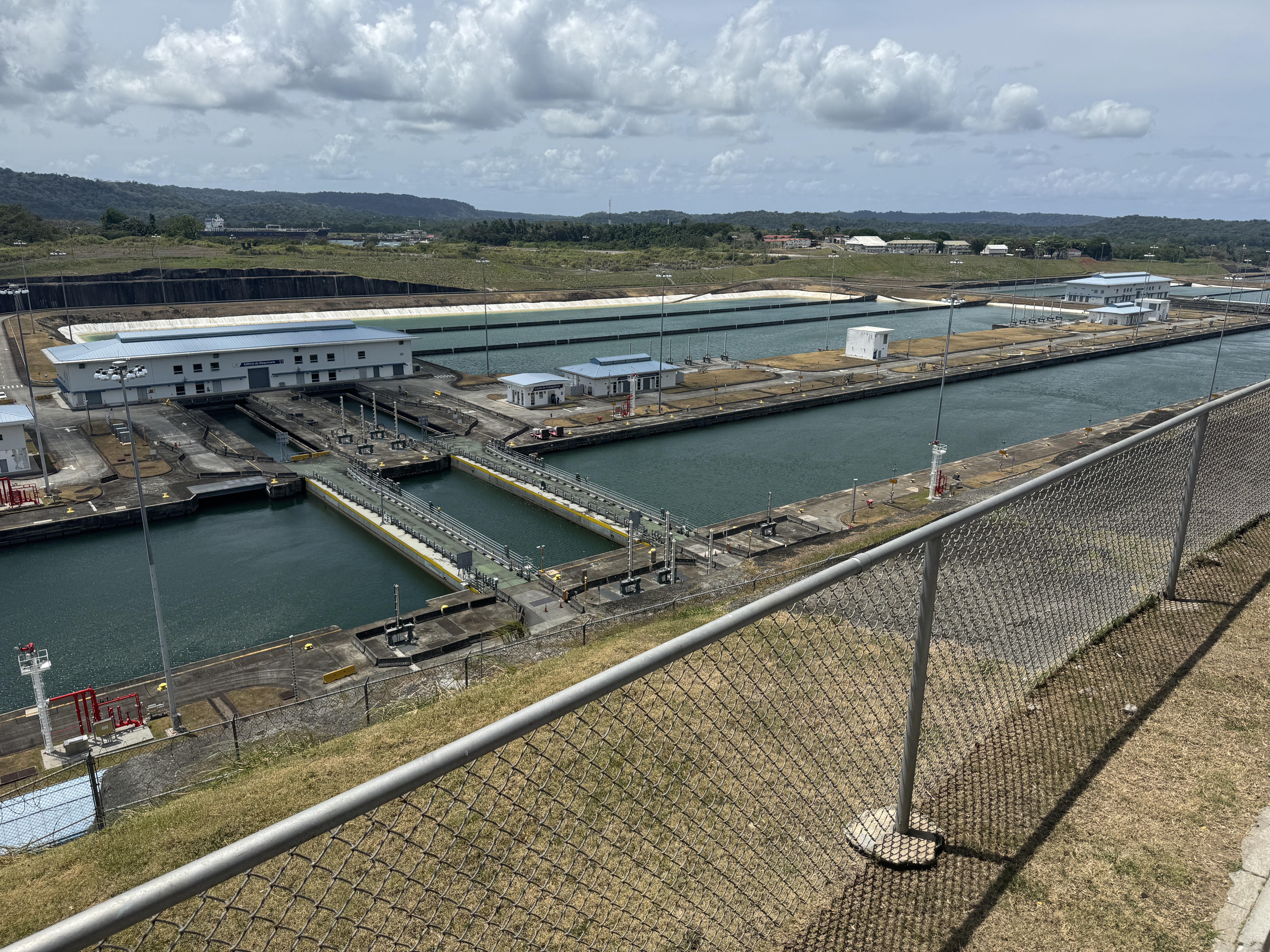
Beats me why, but there was no sign explaining how the new locks--three in a row--work, but obviously it's goodbye miter gates. These gates don't rotate. They slide.
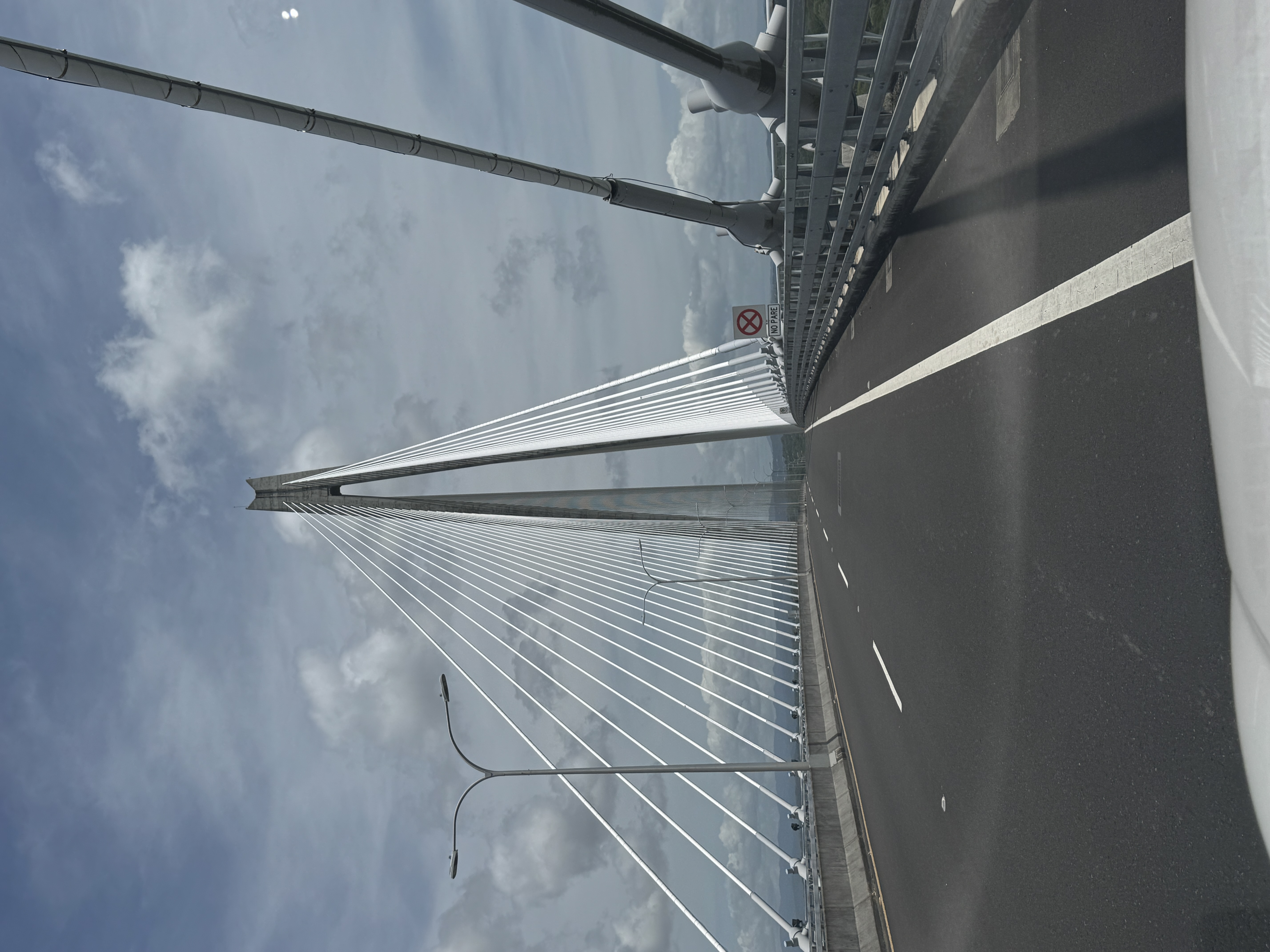
To get to the old locks, you have to cross the Atlantic Bridge, which opened in 2019. You're not allowed to stop.
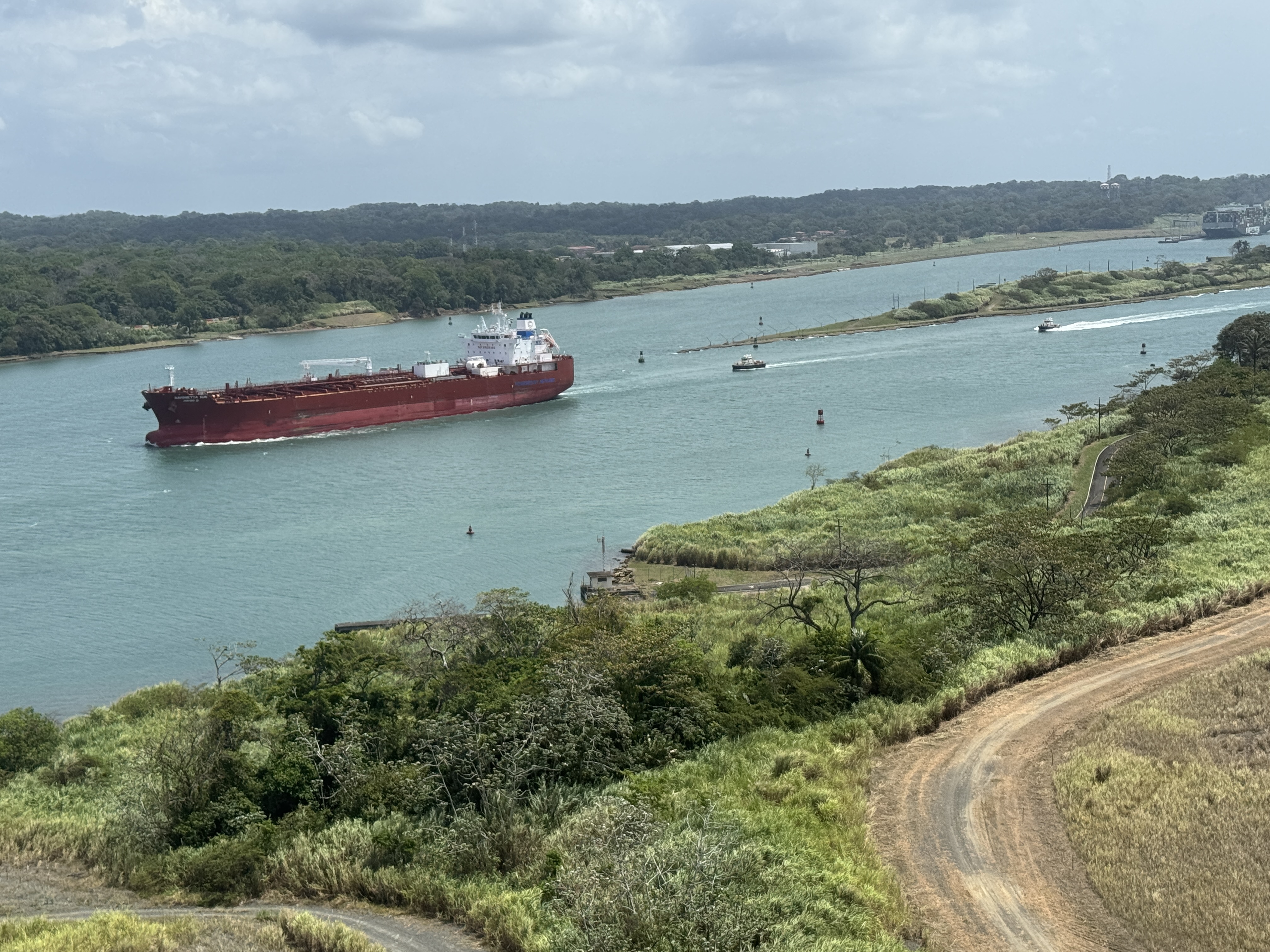
I did and saw this tanker heading down the channel on the right, which comes from the old locks.
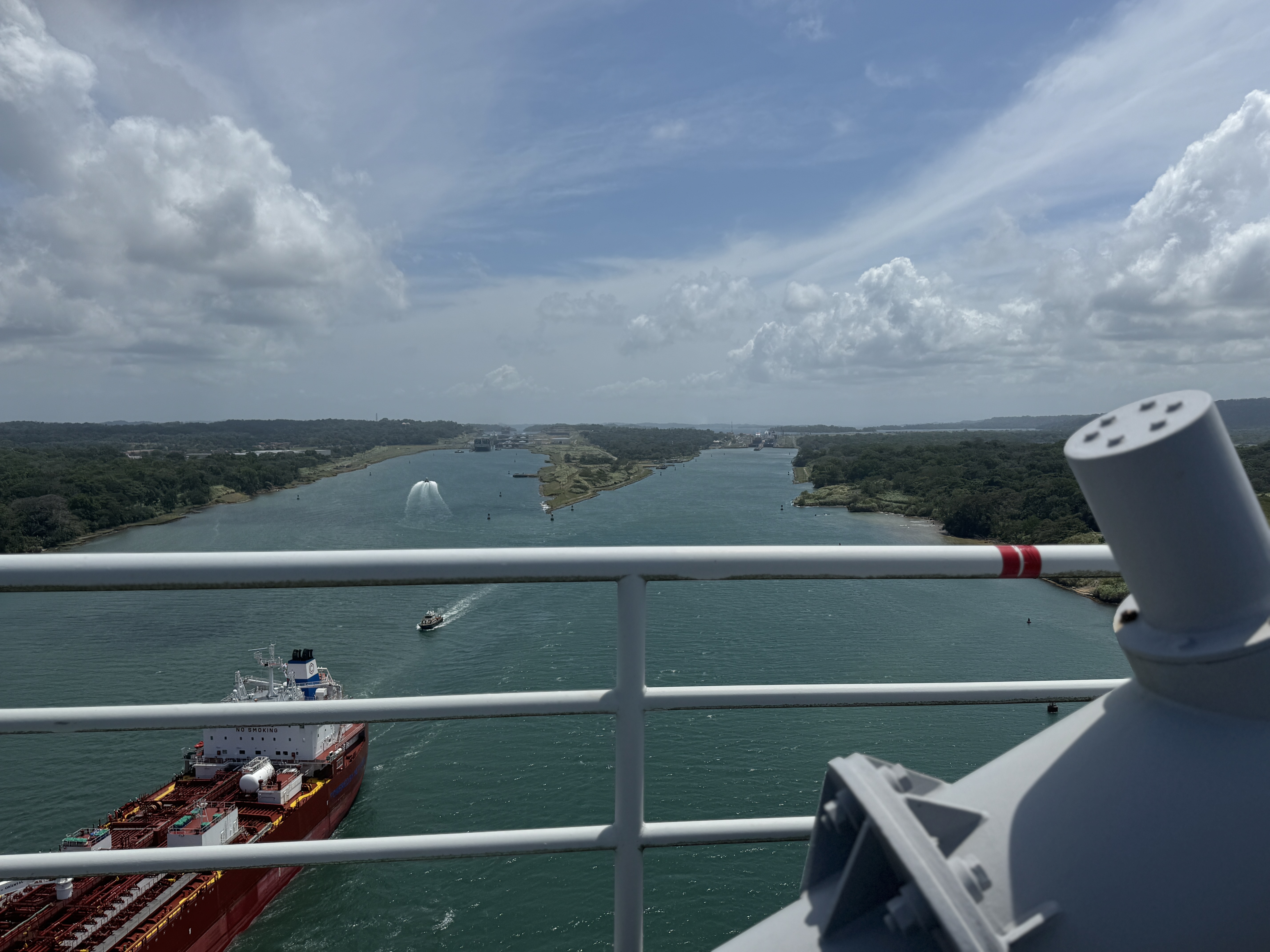
The Agua Clara Locks are in the distance on the left.
Zoomed a bit.
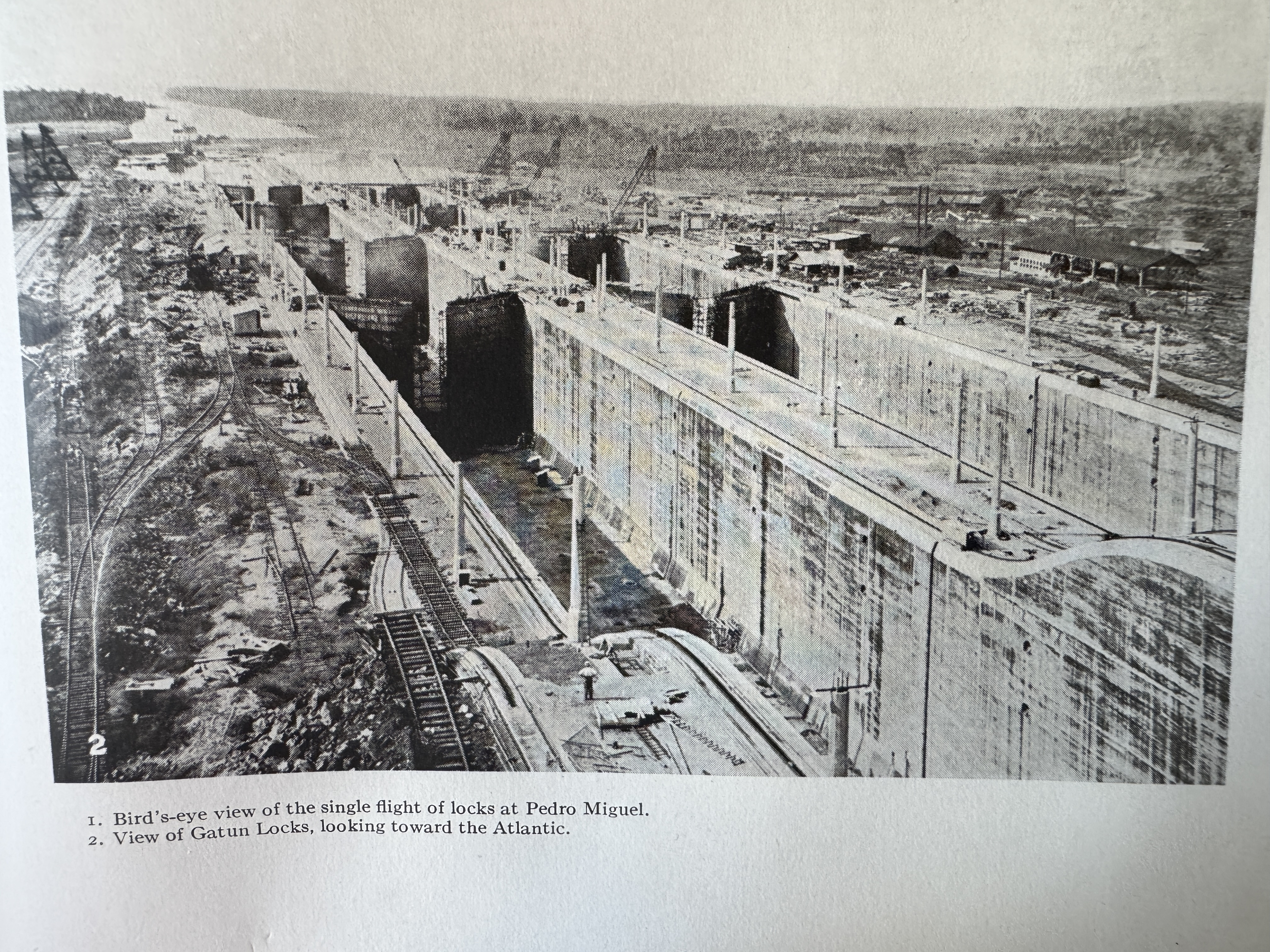
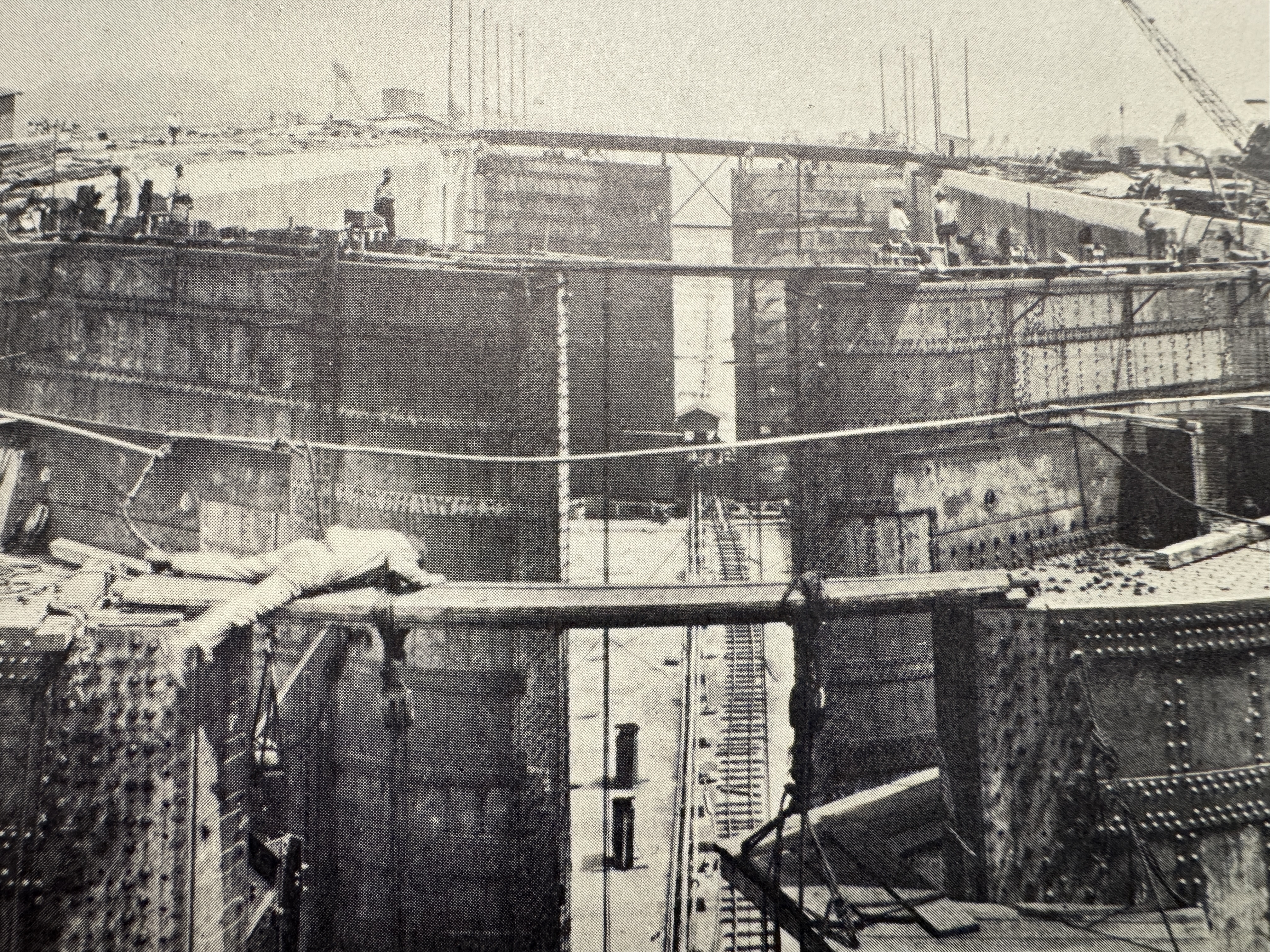
Well, Agua Clara is OK, but I like the old Gatun locks, here under construction. Can you think of a comparable building project today?
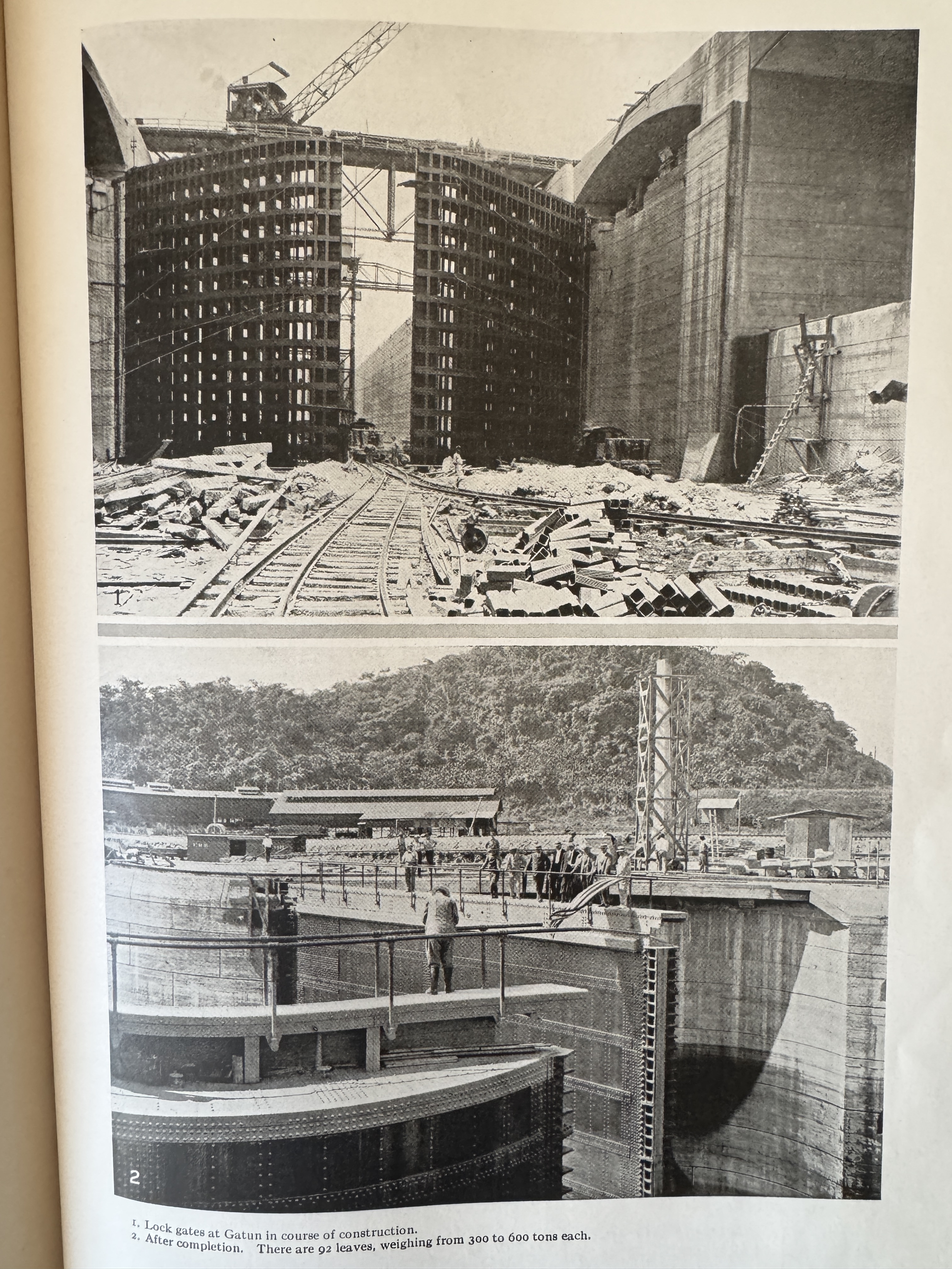
The gates seem larger than life. (Ira Bennett, History of the Panama Canal, 1915, p. 322)
Touch of vertigo? (Robert E. Wood, Monument for the World, p. 35)
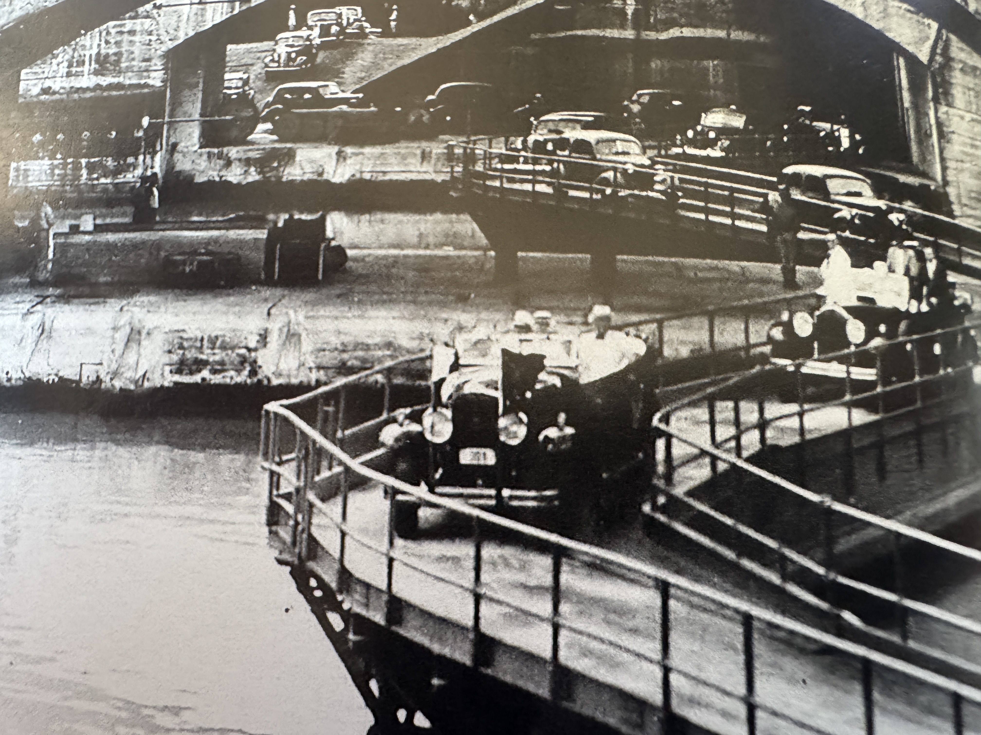
Early motorists had to take ferries across the Canal, but in 1935 they could also drive on top of the miter gates. Today? Fat chance. (Edith Crouch, Architecture of the Panama Canal Zone, 2014, p. 318)
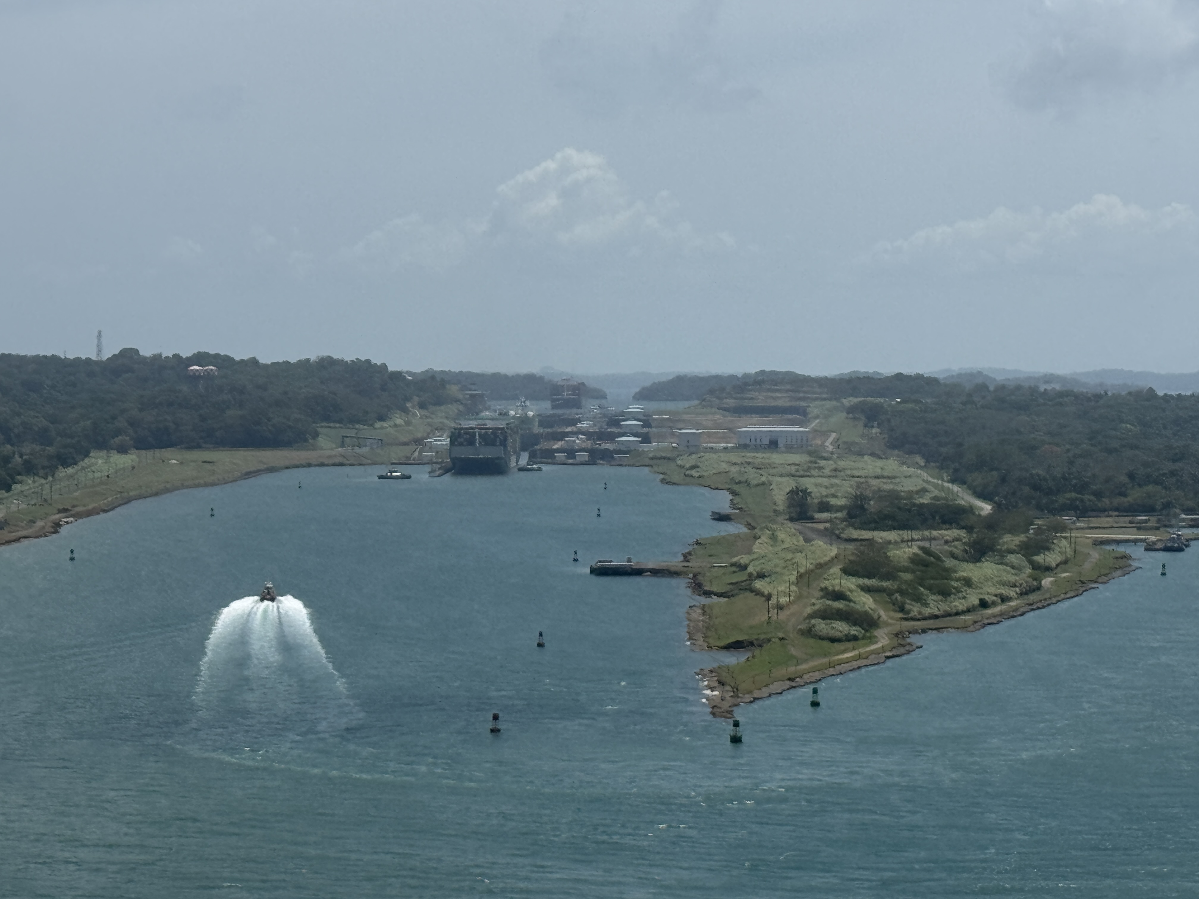
It's hard to see the old locks, but the containers here aren't on land. They're on the Japanese-owned, Panamanian-flagged Mol Experience. How do I know?
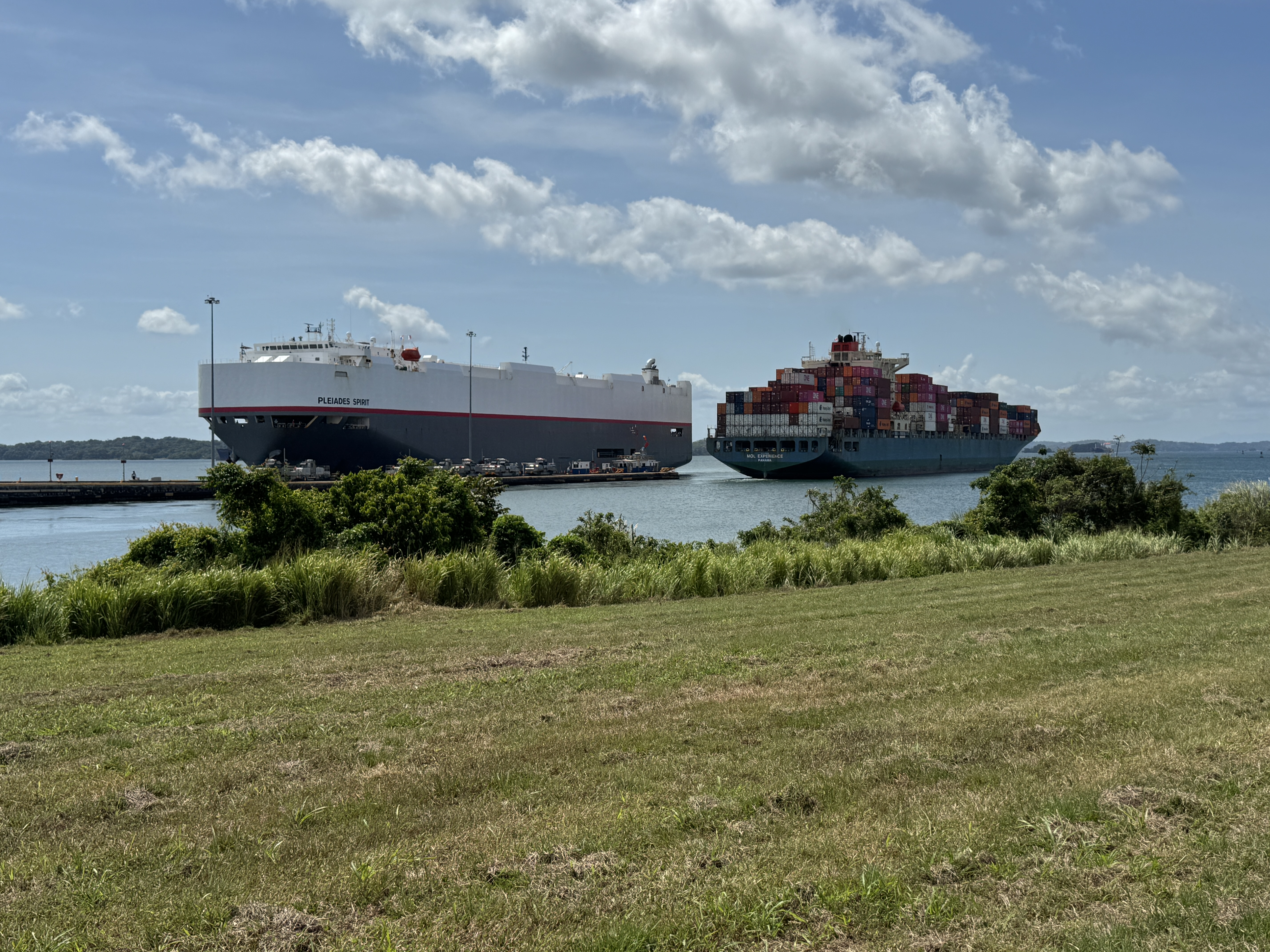
This is how. A few minutes later, the ship was entering Gatun Lake, while the Pleides Spirit, a Japanese-owned, Panamanian-flagged car carrier was heading into the other side of the old locks.
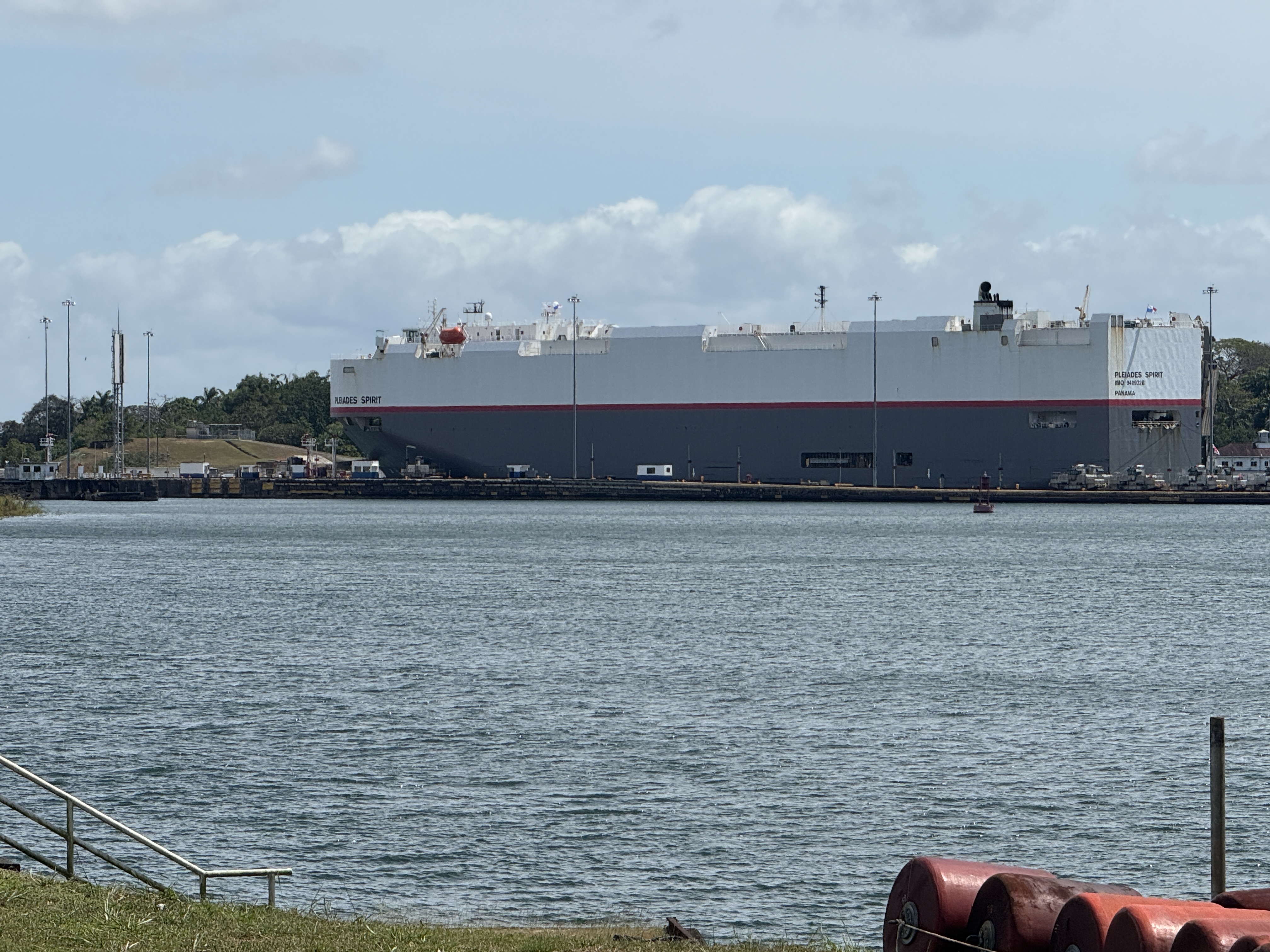
She'd be lowered in three steps from the lake to sea level.
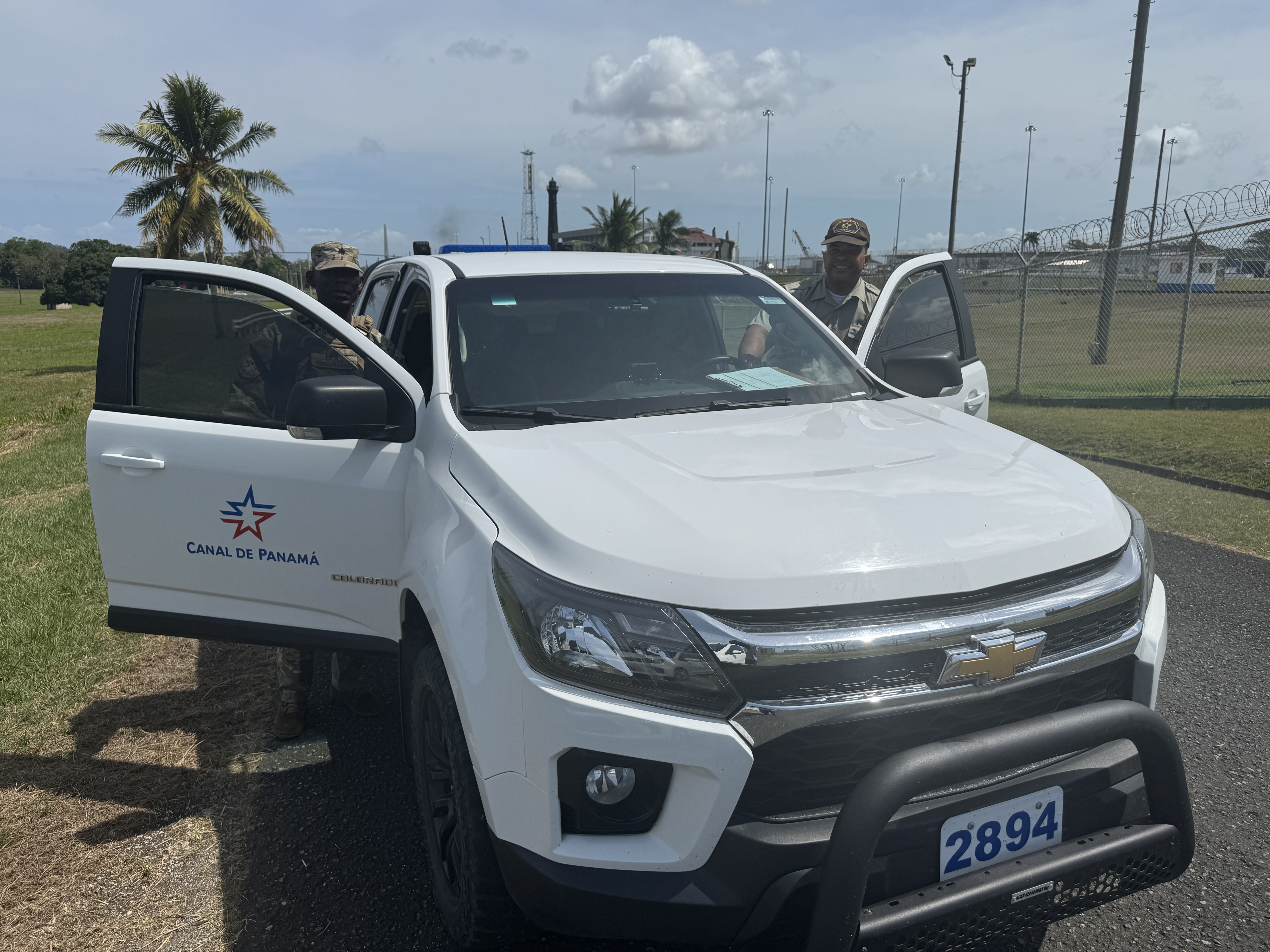
Somebody reported me. I was stopped, ID'ed, and told politely that this was an operational area. A visitor area was soon to open for other fanatics who wanted to see the old locks. For a time-lapse video of a full transit of the canal reduced to seven minutes, try this; https://www.youtube.com/watch?v=m8TkcWhmByg
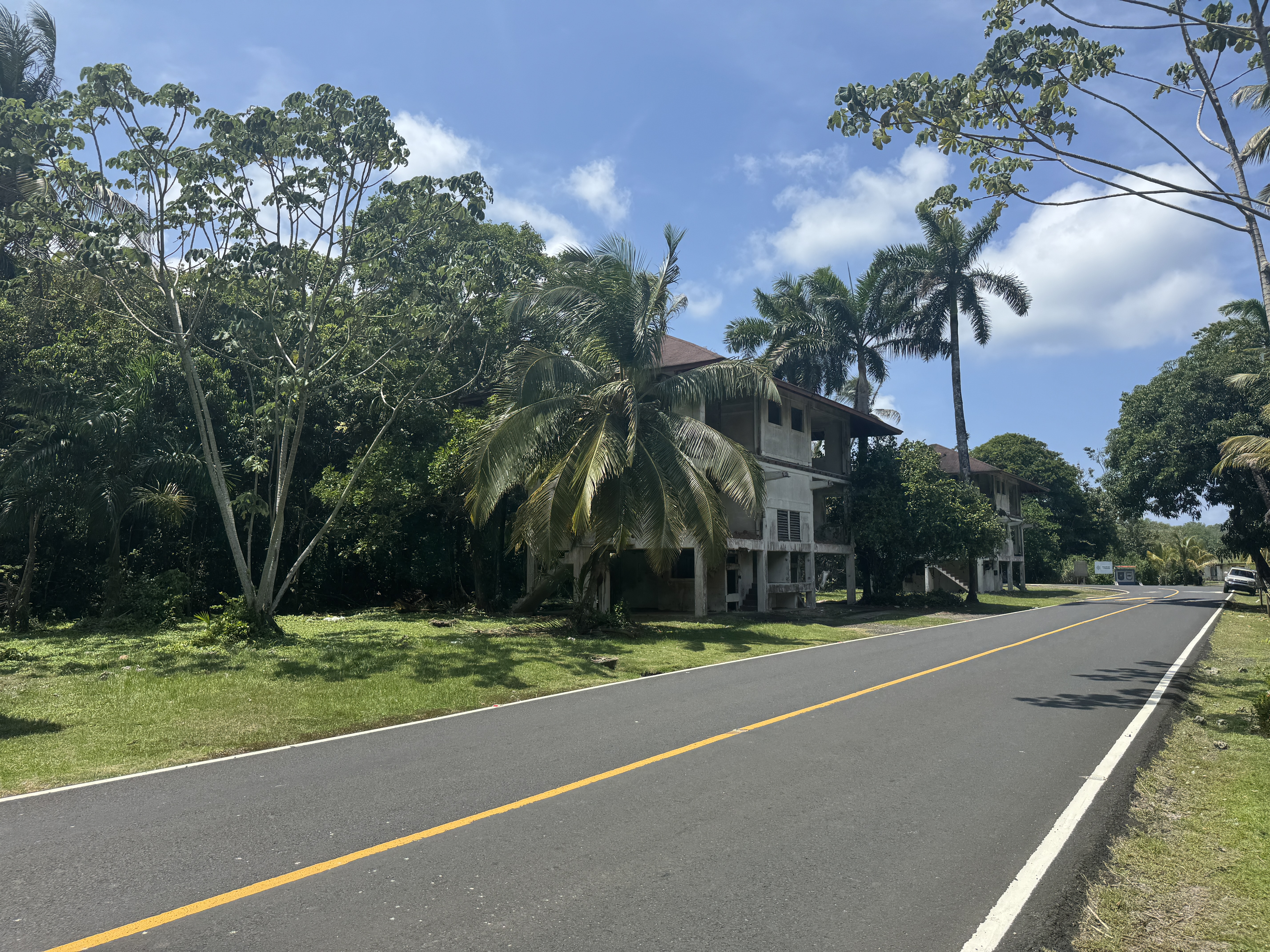
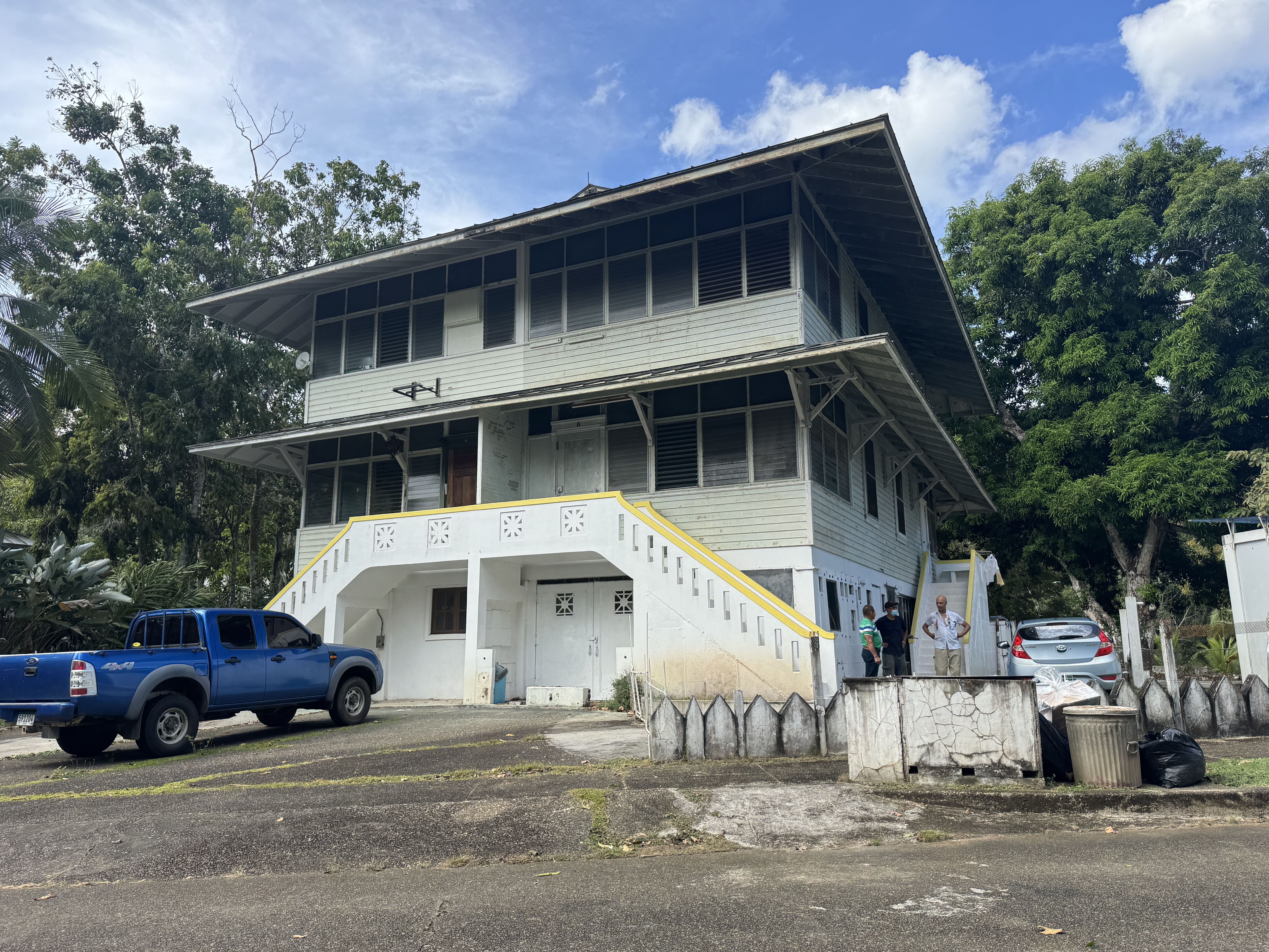
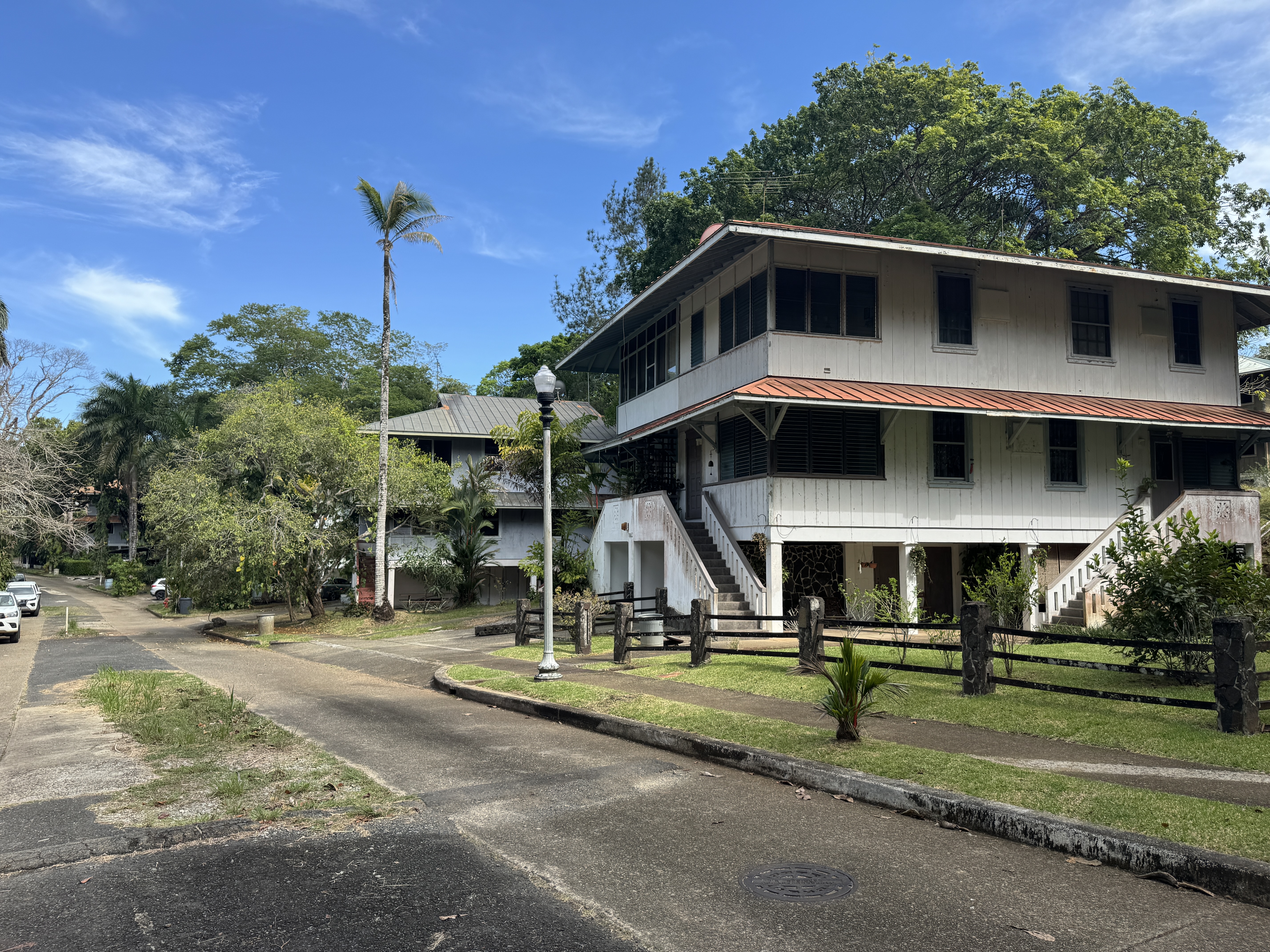
The Panama City and Col n entries have examples of Canal Zone housing, but I want to look at it a bit more, starting with some abandoned housing at Fort Sherman, which opened at the Atlantic mouth of the Canal in 1914.
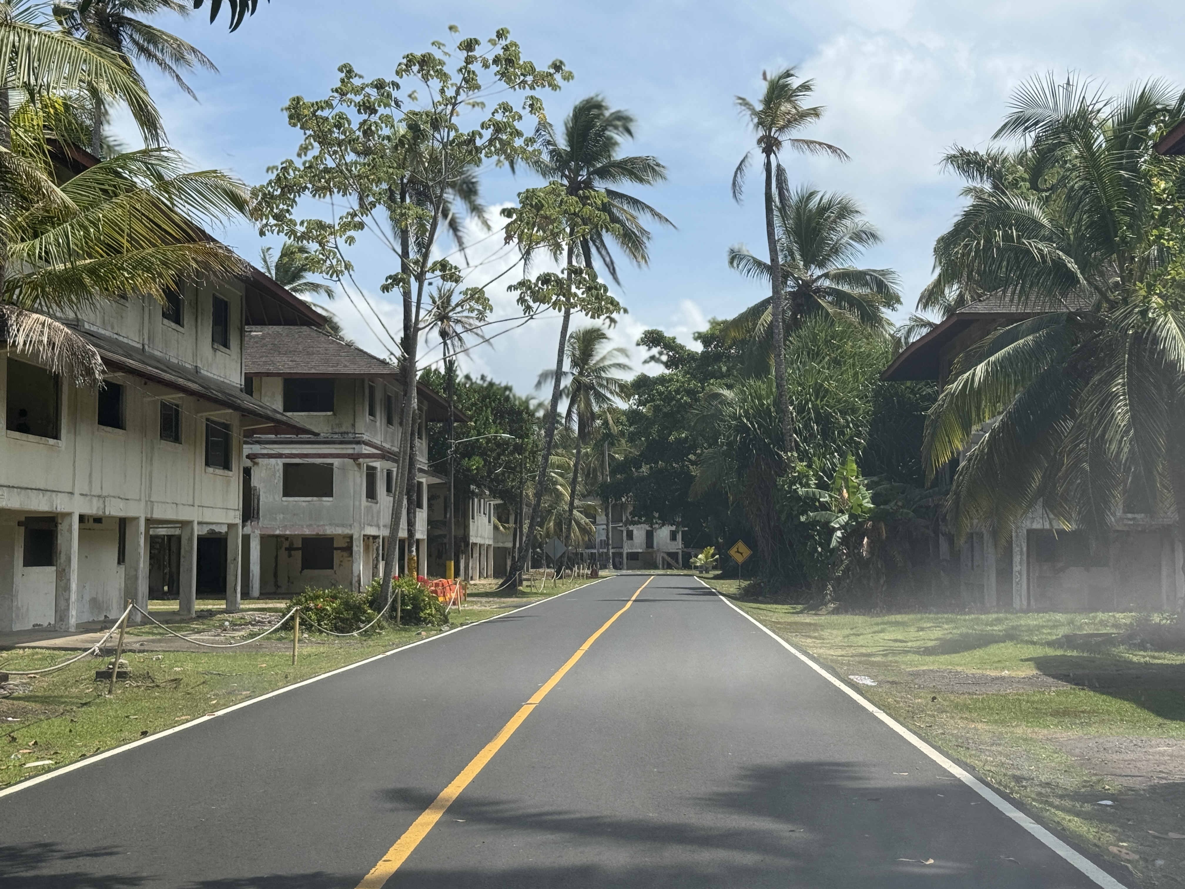
I'd have preferred the first-generation houses, which were wood.
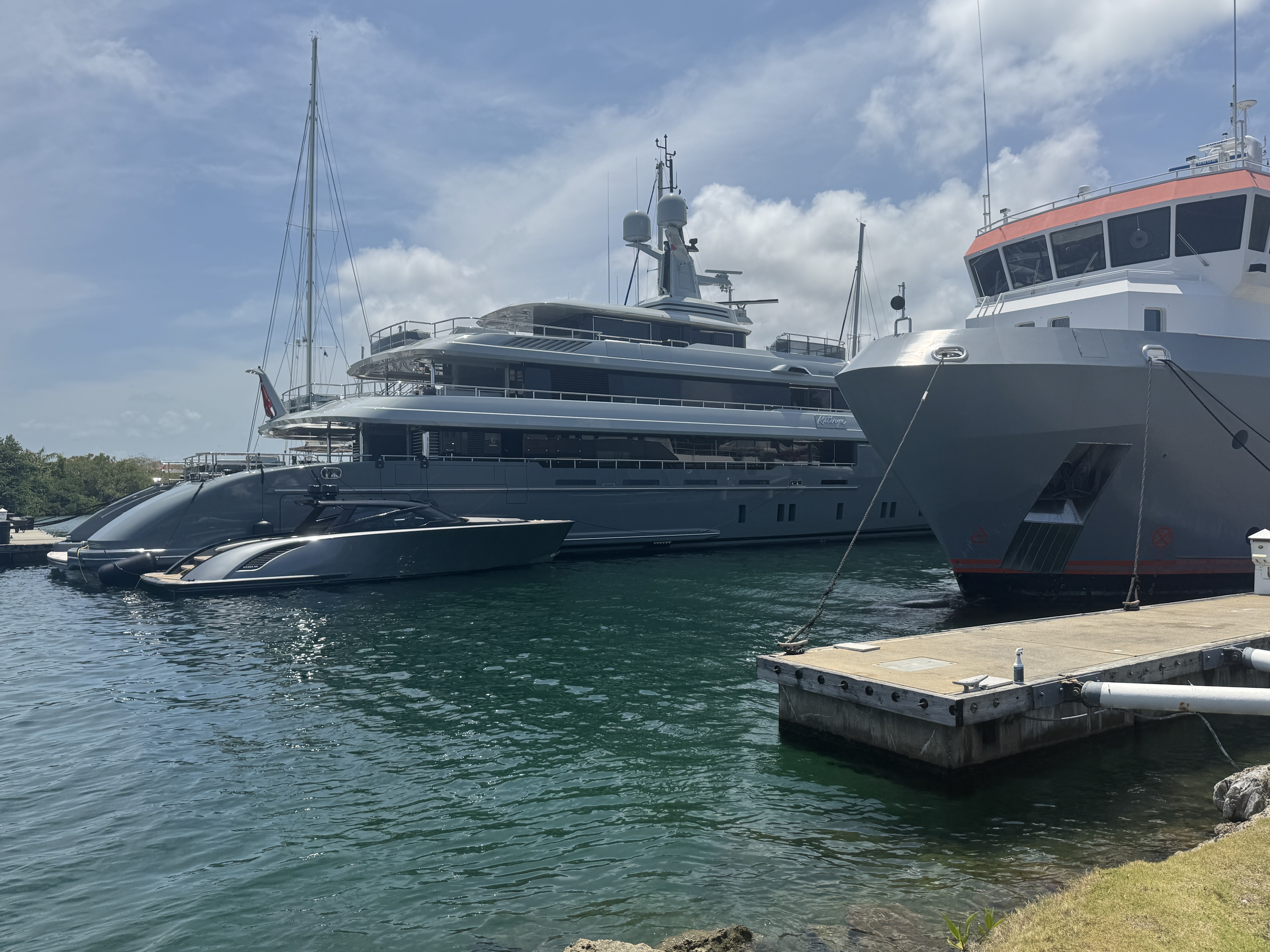
On the other hand, it's only a one-minute walk from these houses to an ocean beach protected by long breakwaters built for the Canal. The ships at anchor are probably waiting to transit the Canal. That's Col n in the distance, reached now over that spectacular bridge we saw a moment ago. It's off to the right.
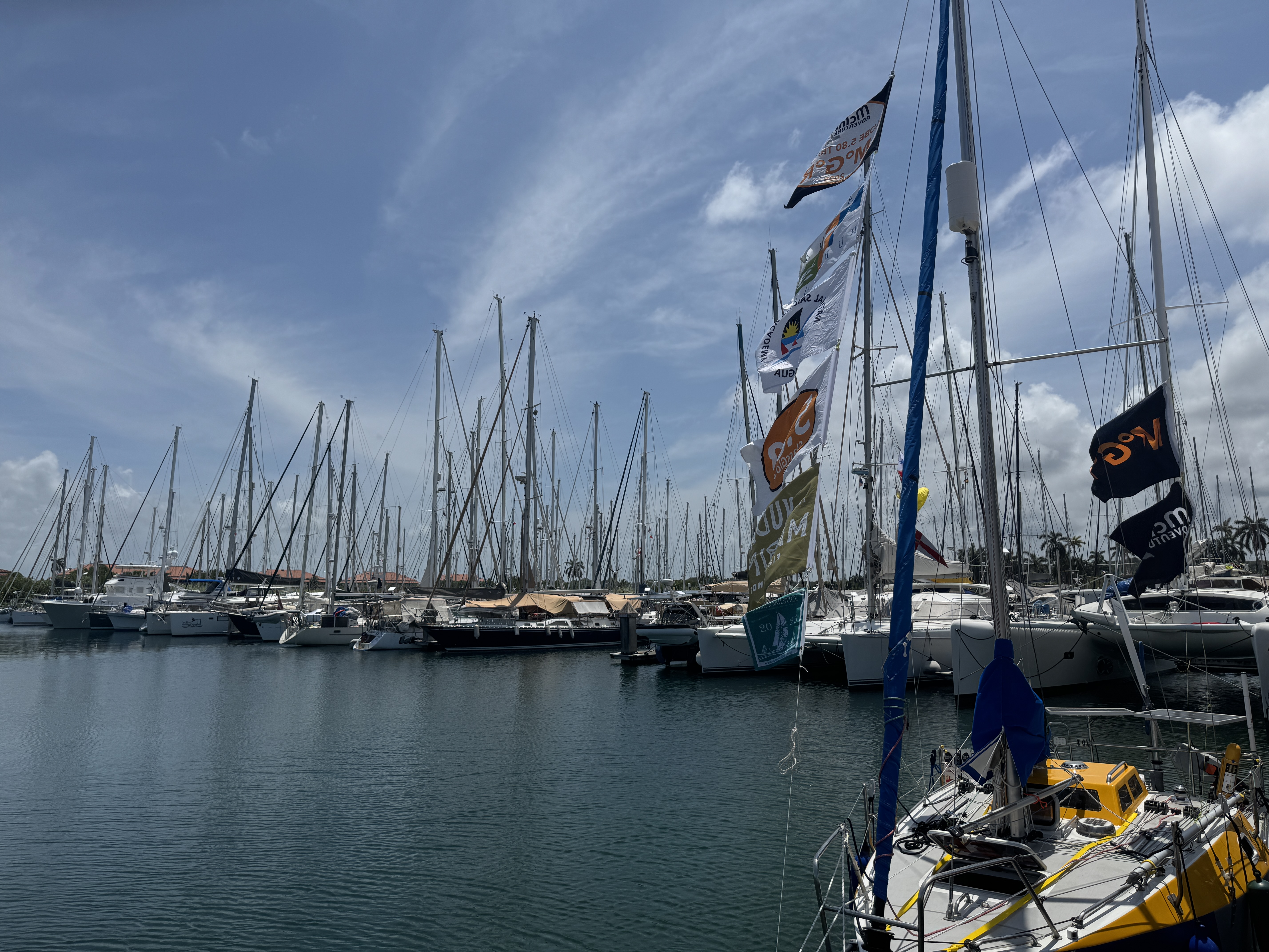
Part of Fort Sherman has been privatized and made into the Shelter Bay Marina.
It's not for dinghies. There were boats here from all over the world.
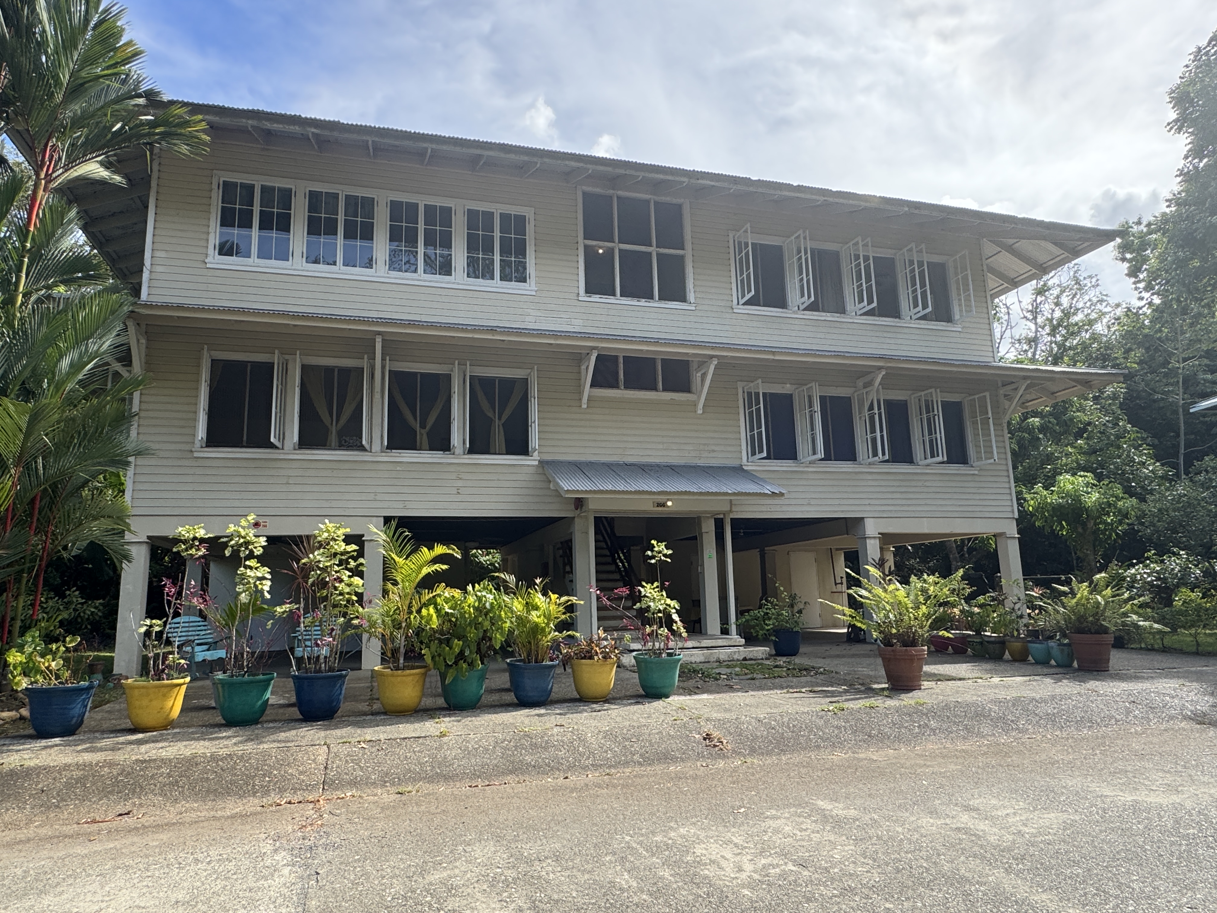
The Americans had military bases on the Pacific side, too, including Fort Kobbe, across the Canal from Balboa.
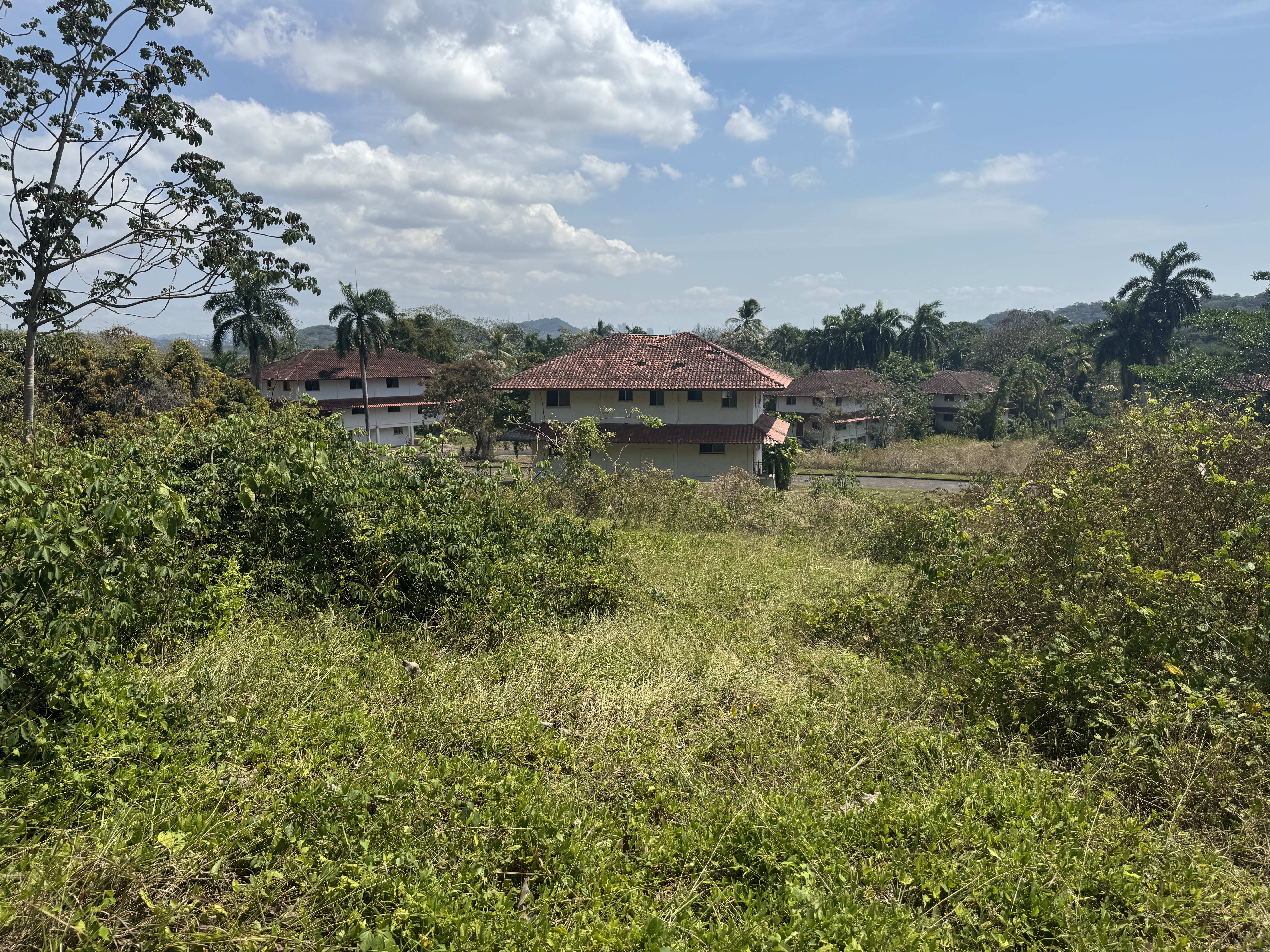
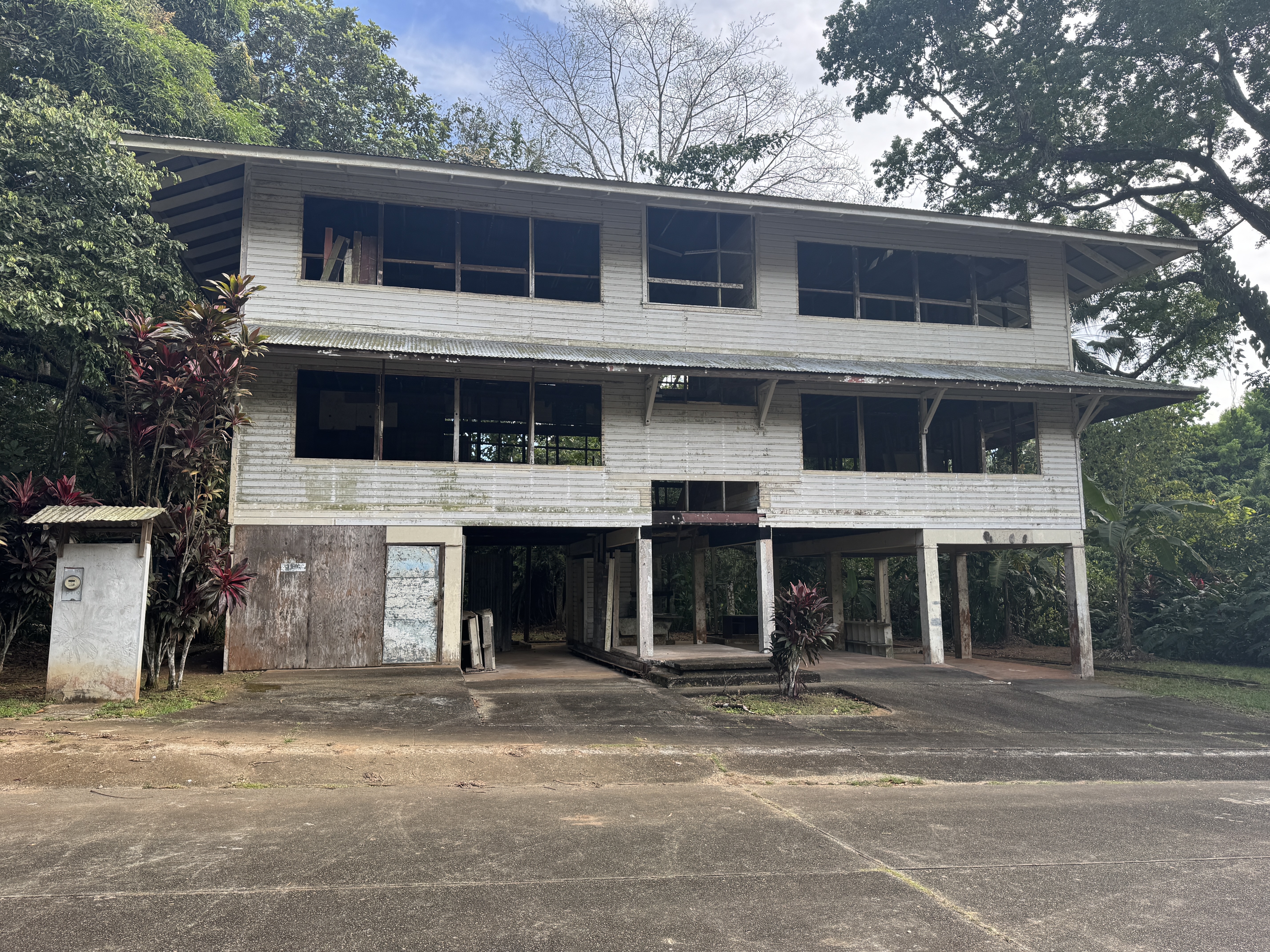
Houses ahead.
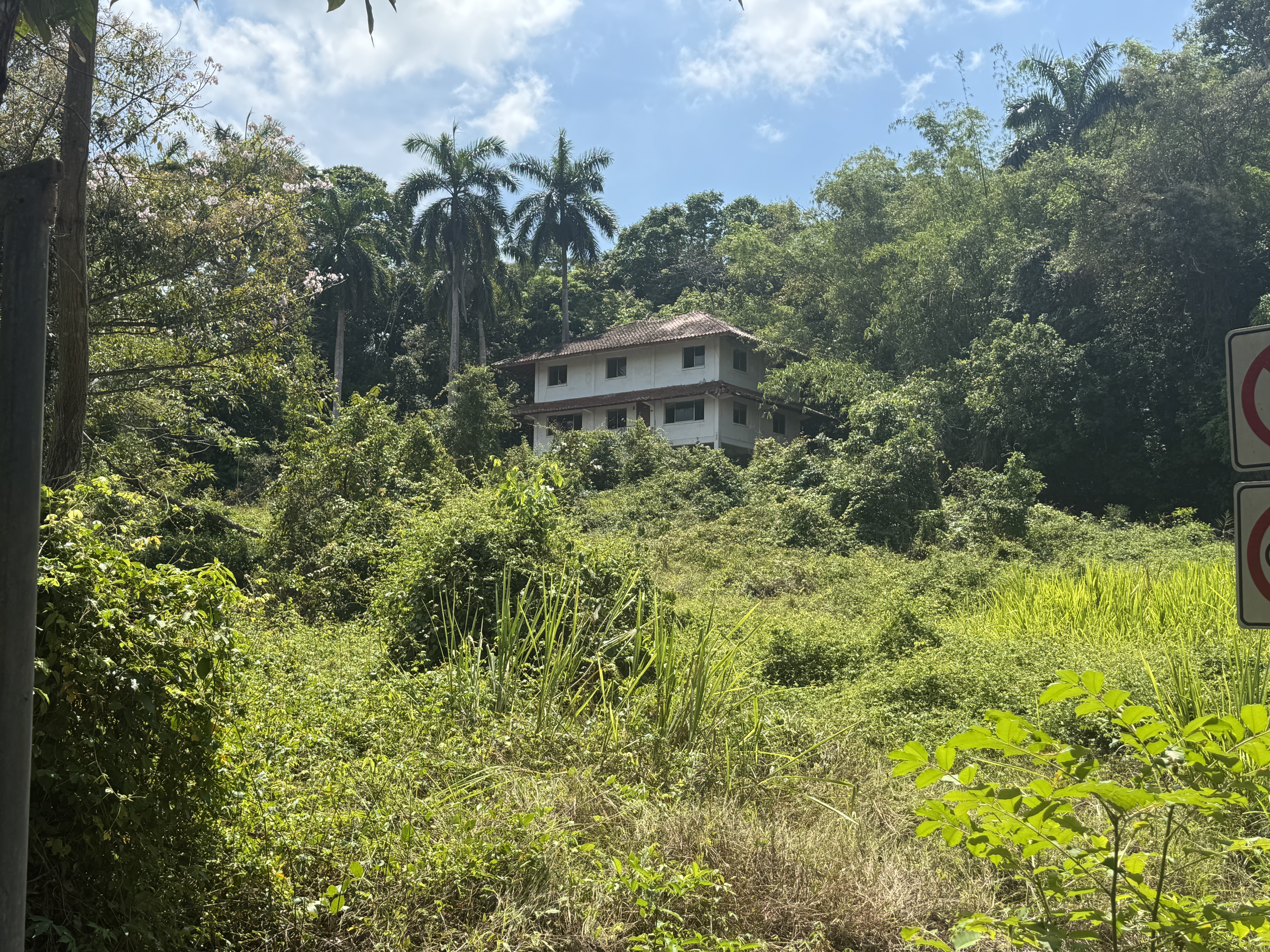
Shall we look?
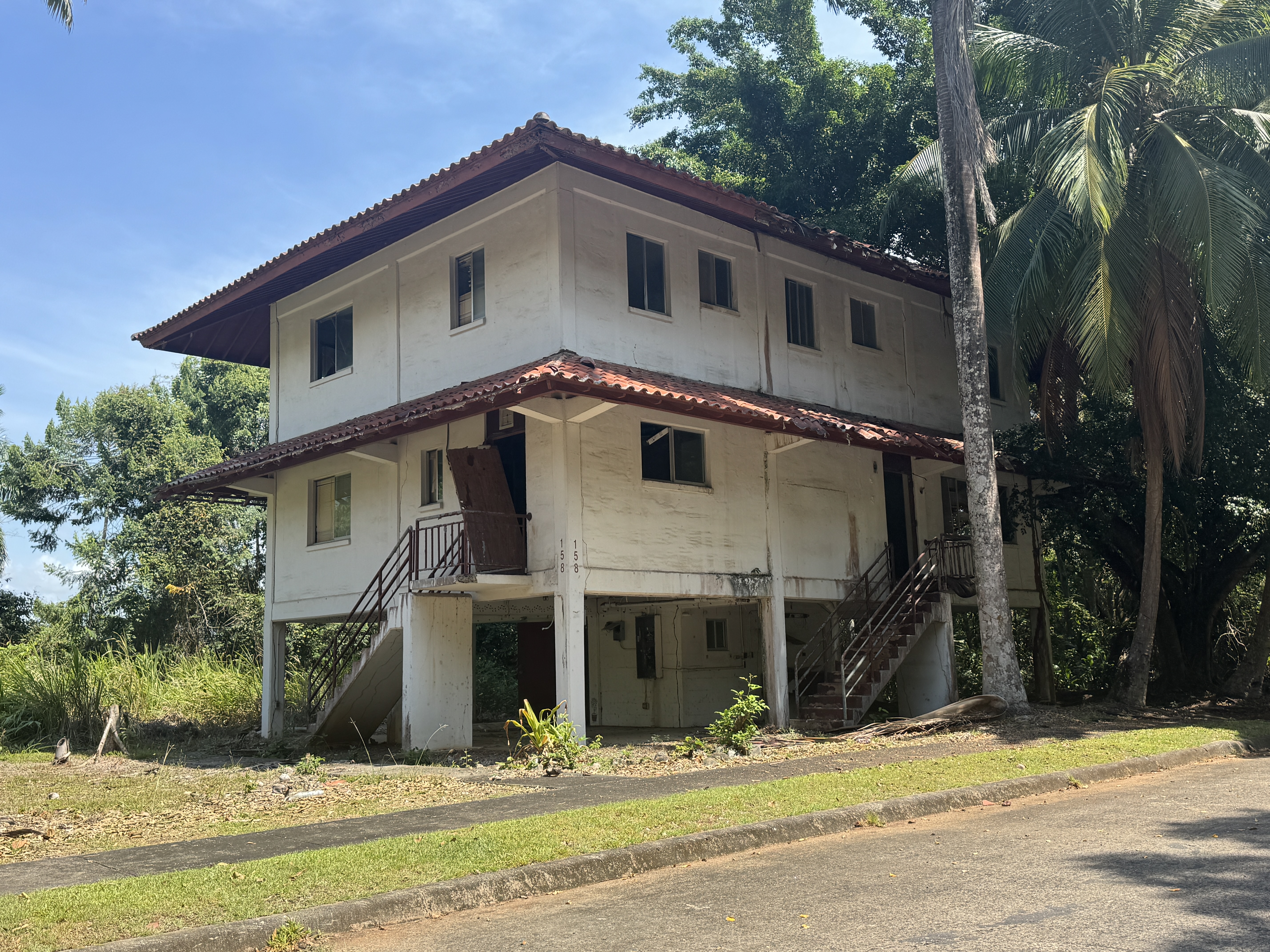
Up the stairs we go.
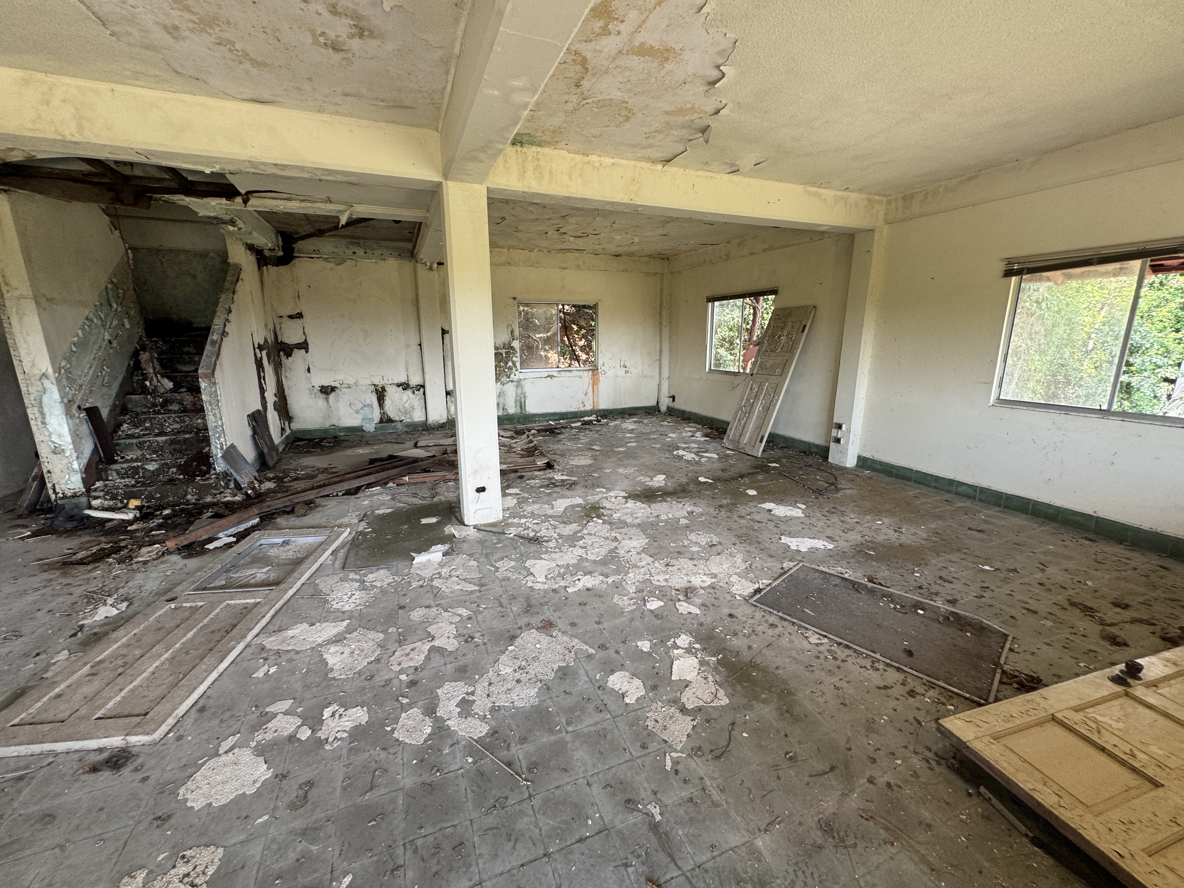
Sure it's a mess, but it's structurally sound, and with a couple of good brooms and shovels and buckets....
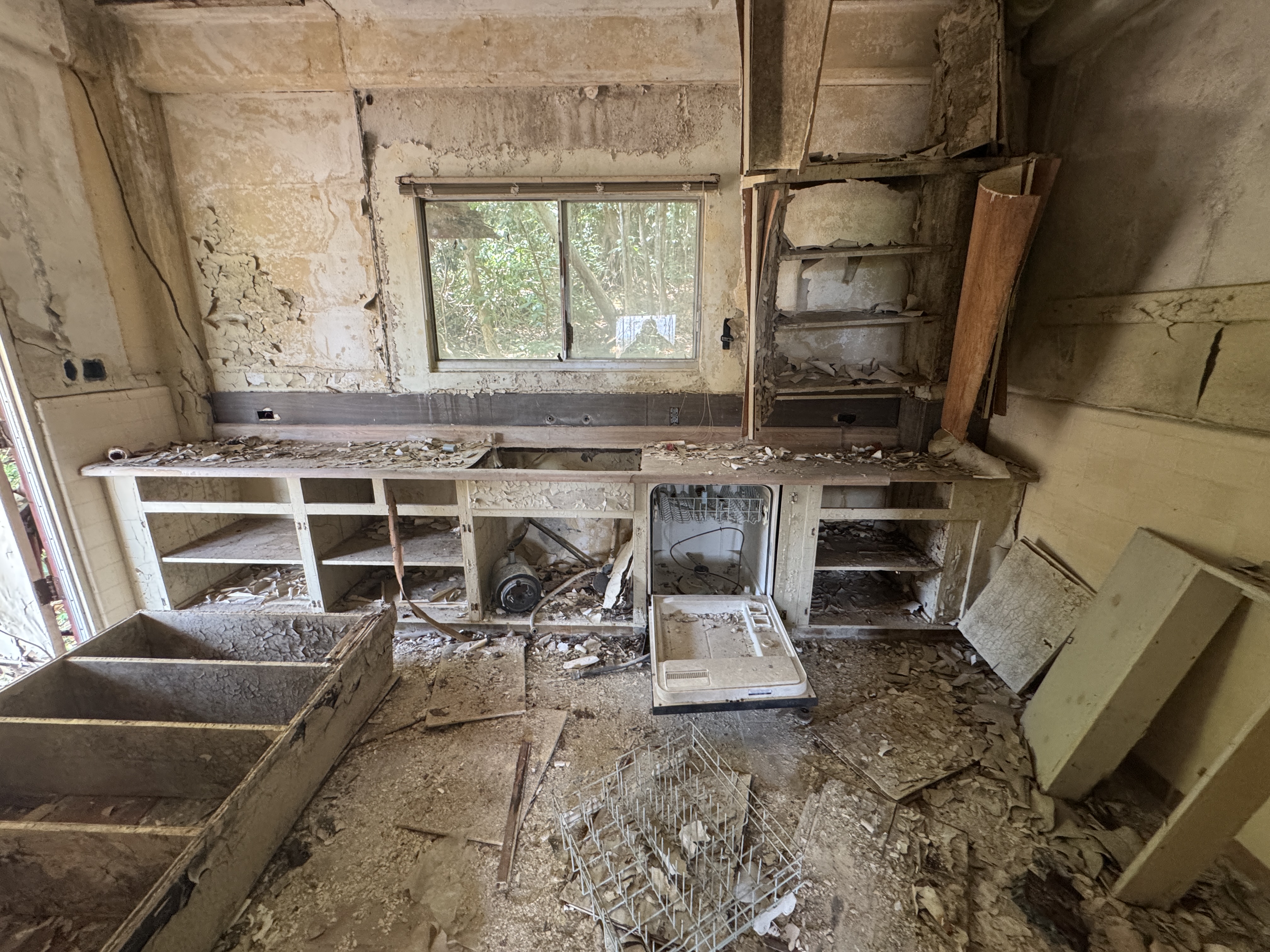
OK, the kitchen needs work.
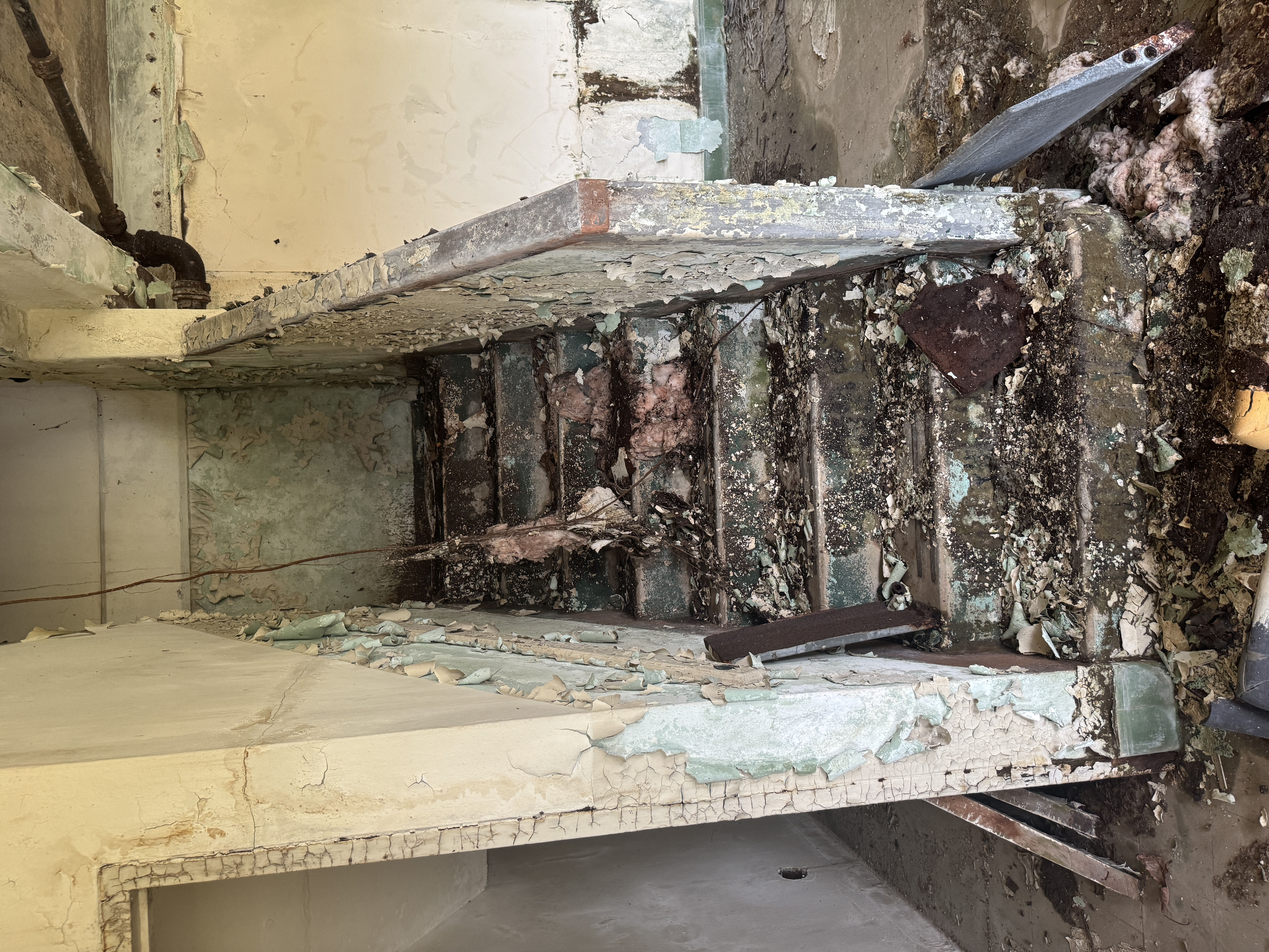
The stairs are a mess.
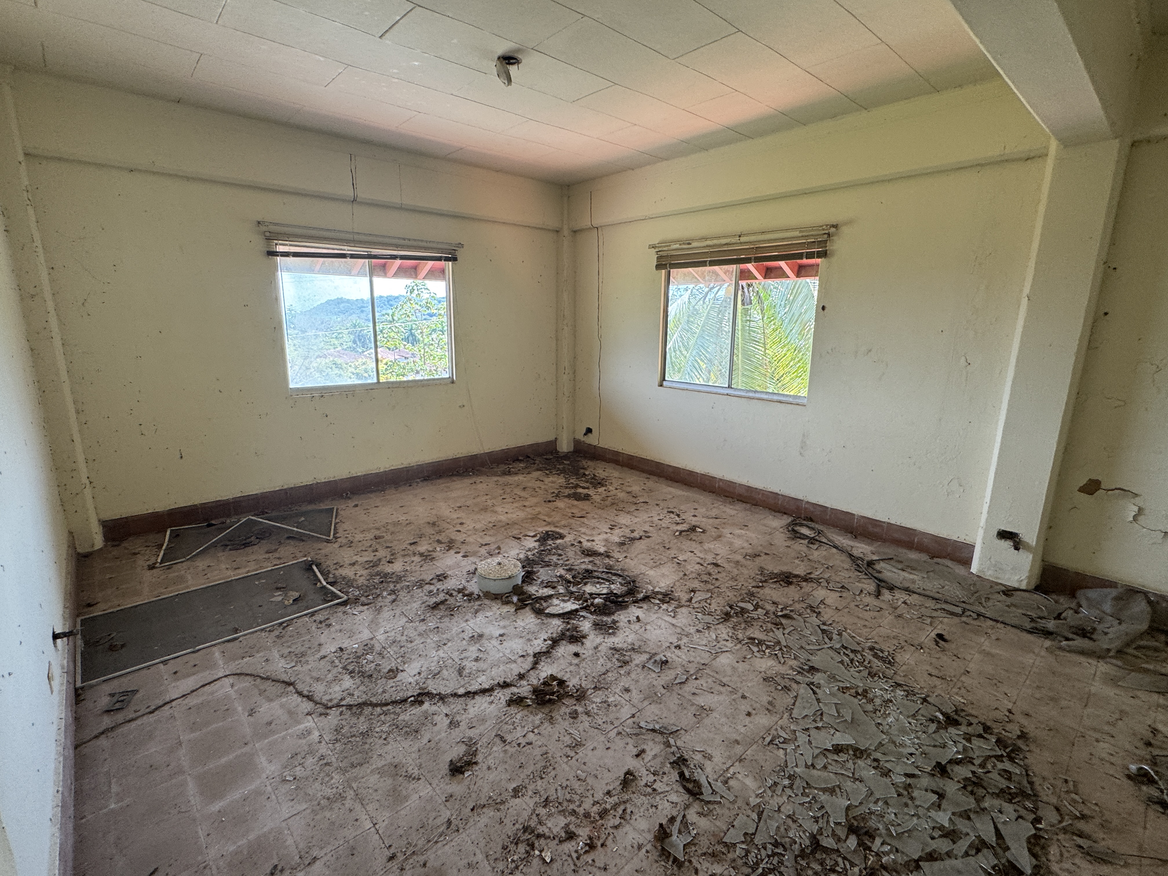
But upstairs there are three bedrooms and two baths as I recall. It does make me wonder why these places are empty. True, it's half an hour to Panama City by car, but there's a small commercial airport nearby, converted from the former Howard Air Force Base. There's new housing occupied nearby, too, so why is this place abandoned, like the houses at Fort Sherman? Puzzles, puzzles.
One last snoop. We're back at Gamboa, where we saw those floating cranes. "The transfer [of the dredging division from Paraiso, at the other end of the Cut] was a terrific project. It meant the building of shops and office buildings, schools, a gas station, fire station, commissary, clubhouses, a garage, a dispensary and all of the other buldings necessary for community living. Streets, sewers, power and telephone lines had to be installed; landscaping had to be done." (Edith Crouch, Architecture of the Panama Canal Zone, 2014, p. 104)
After 1979, the houses at Gamboa were sold to private owners who mostly keep them in good shape.
A duplex.
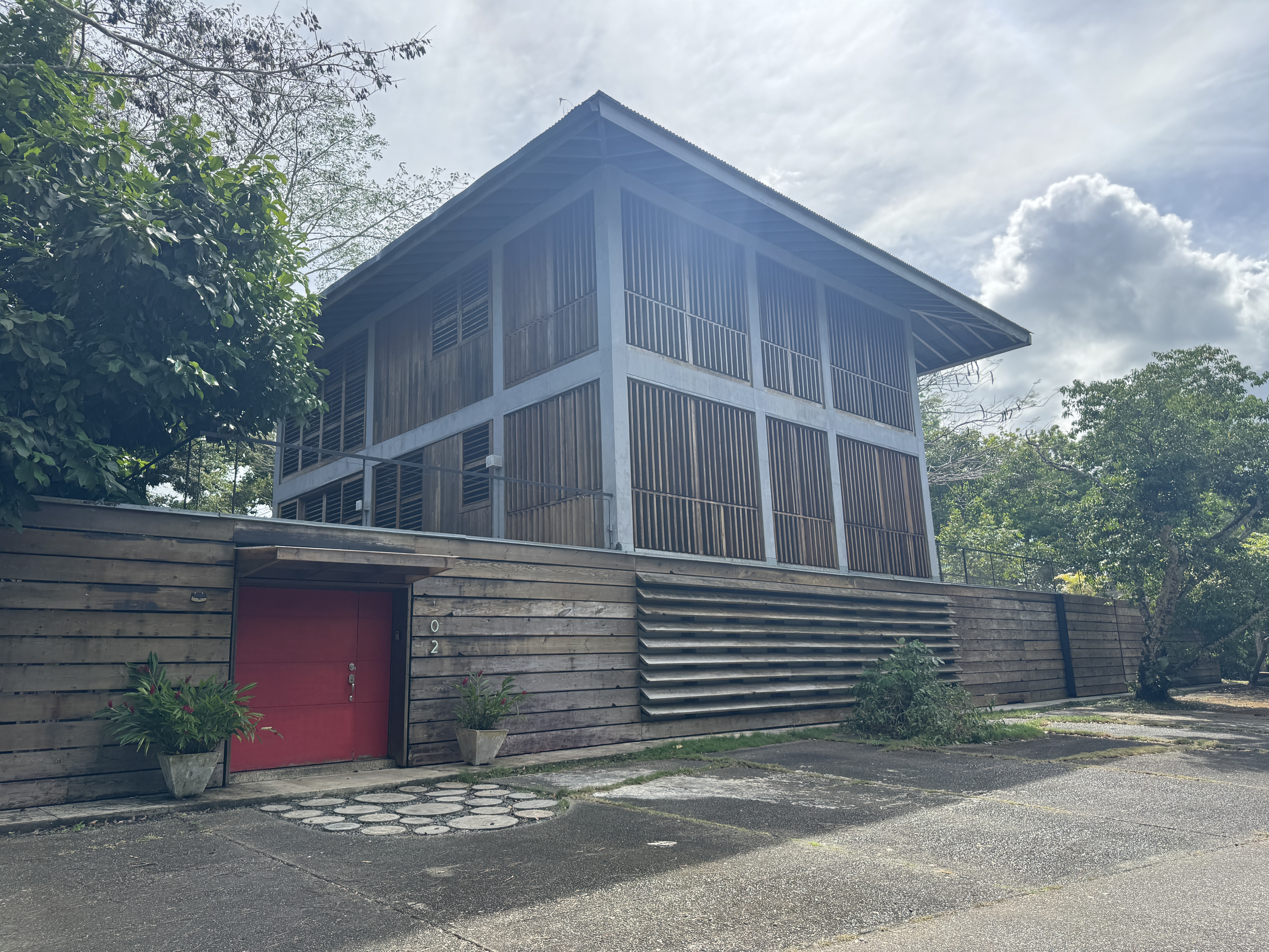
A heavy-duty modification.
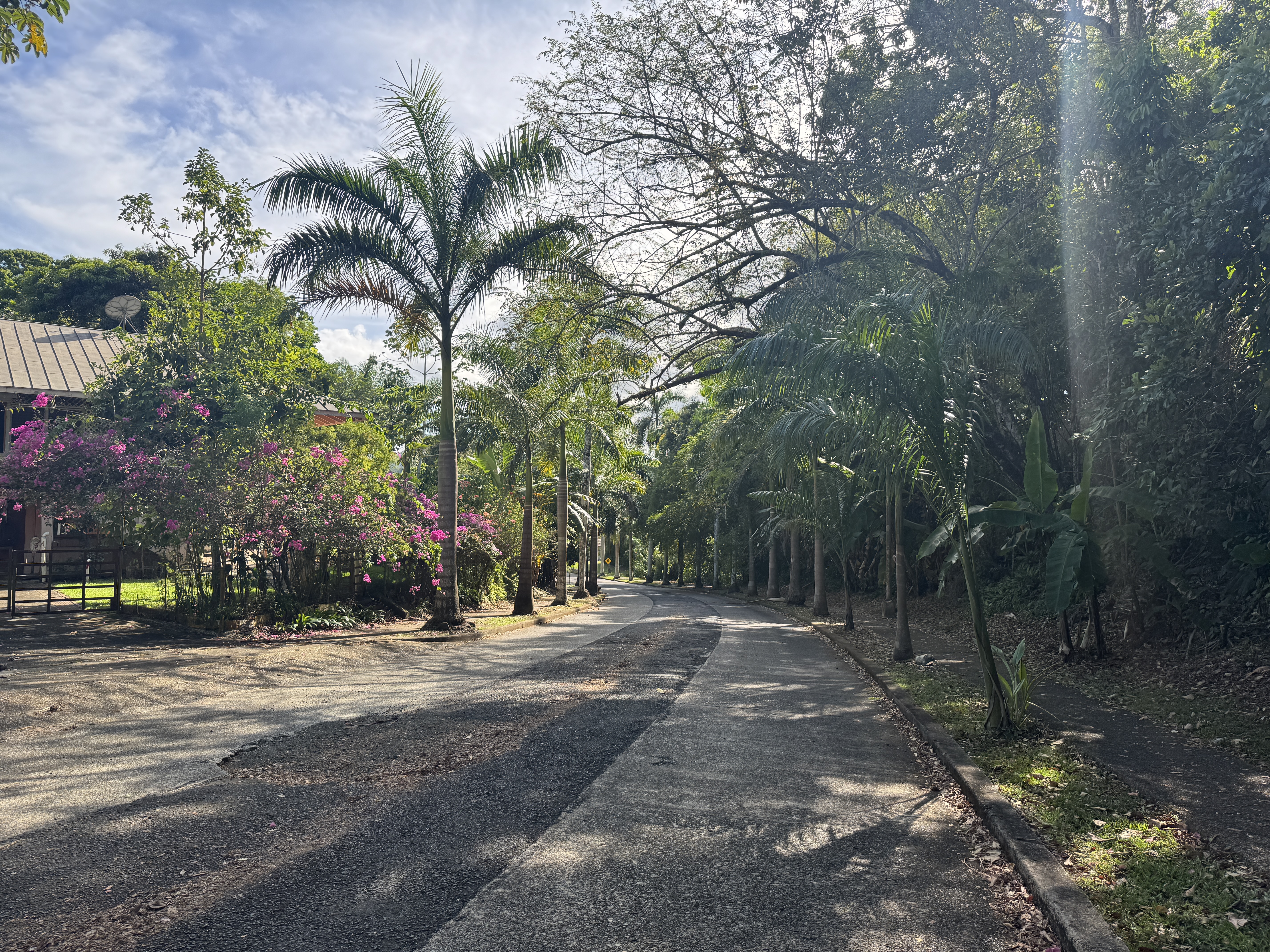
Street scene. Not half bad, eh?
I don't suppose that Panamanians have ever spent a lot of time applauding Americans for building a tropical paradise smack in the middle of Panama, but I can sure see why lots of Americans living in the Canal Zone in the old days didn't want to leave.