3 Outliers

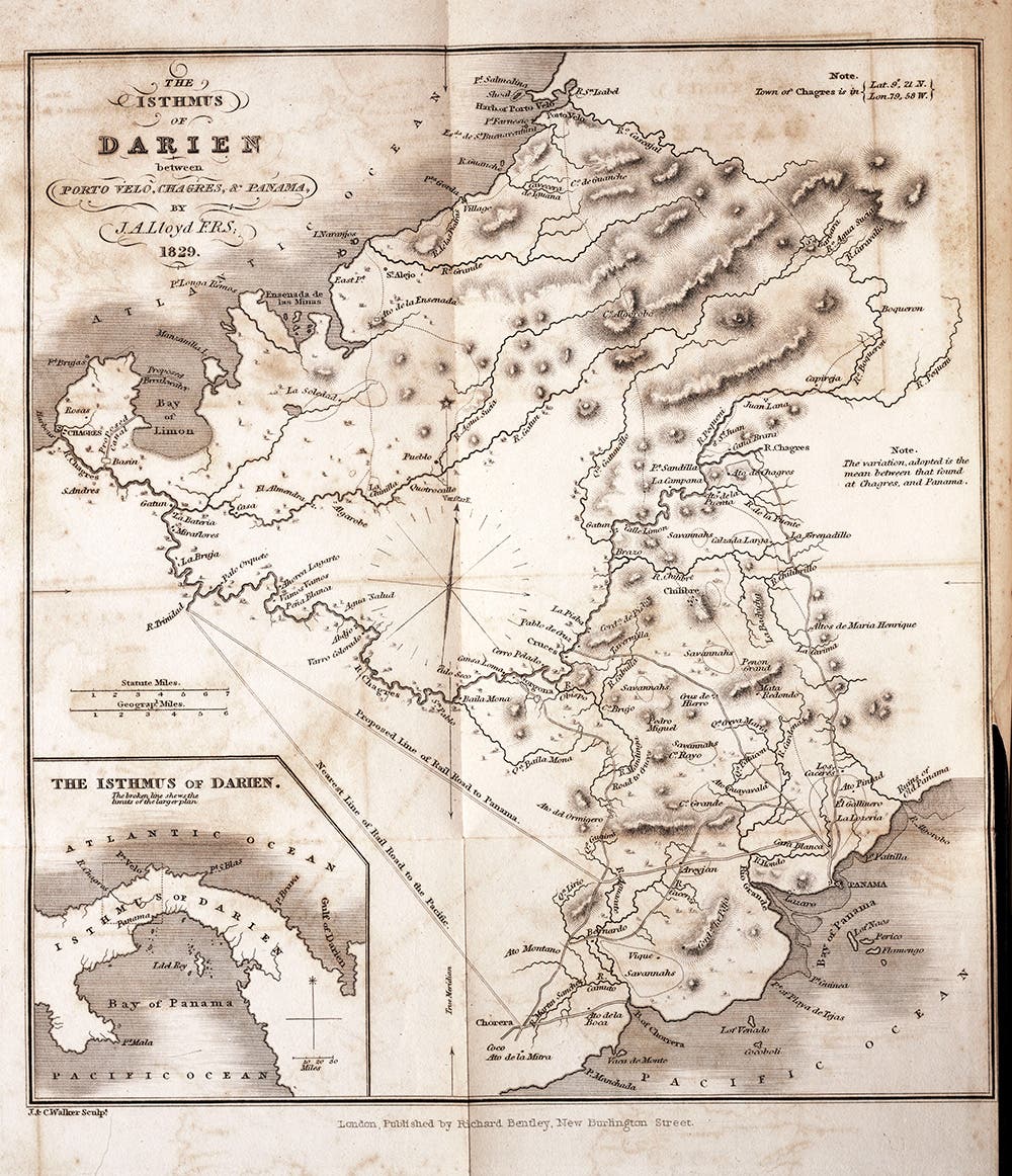
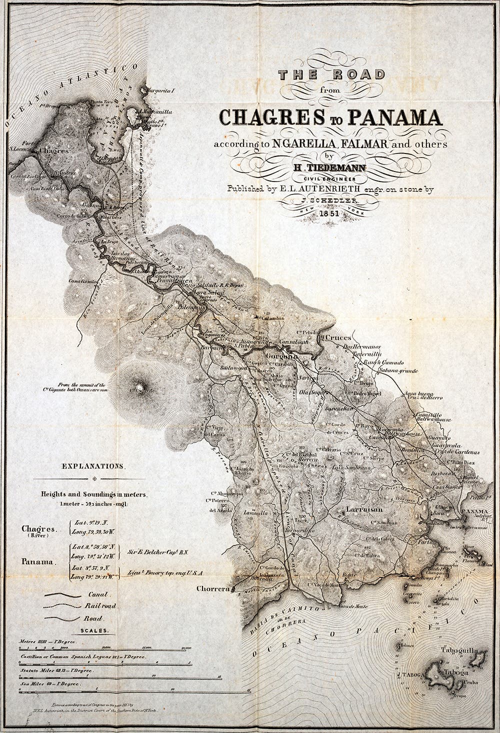
Starting in about 1540, the Spanish began sending gold and silver from Peru to Spain. Leaving Lima, the stuff landed at Panama and then went by mule over the Camino Real (shown here in red and orange) to the Atlantic port of Nombre de Dios. About 60 years later and after two lethal attacks by Sir Francis Drake, the Spanish shifted to Portobelo, which they mistakenly thought would be safer. The mules forgot about the orange line and stayed on the red. The Spanish also began using the Chagras River (shown in blue), which connected with the Las Cruces Trail (dark green). This greatly shortened the overland distance and was dominant by 1839, when steamships began crossing the Atlantic to Panama. So we have three old ports on the Atlantic Coast. We'll take them in order. (John O. Collins, The Panama Guide, 1912, p.194) (https://commons.wikimedia.org/wiki/File:Spanishtraderoutesacrosstheisthmusof_Panama.svg)
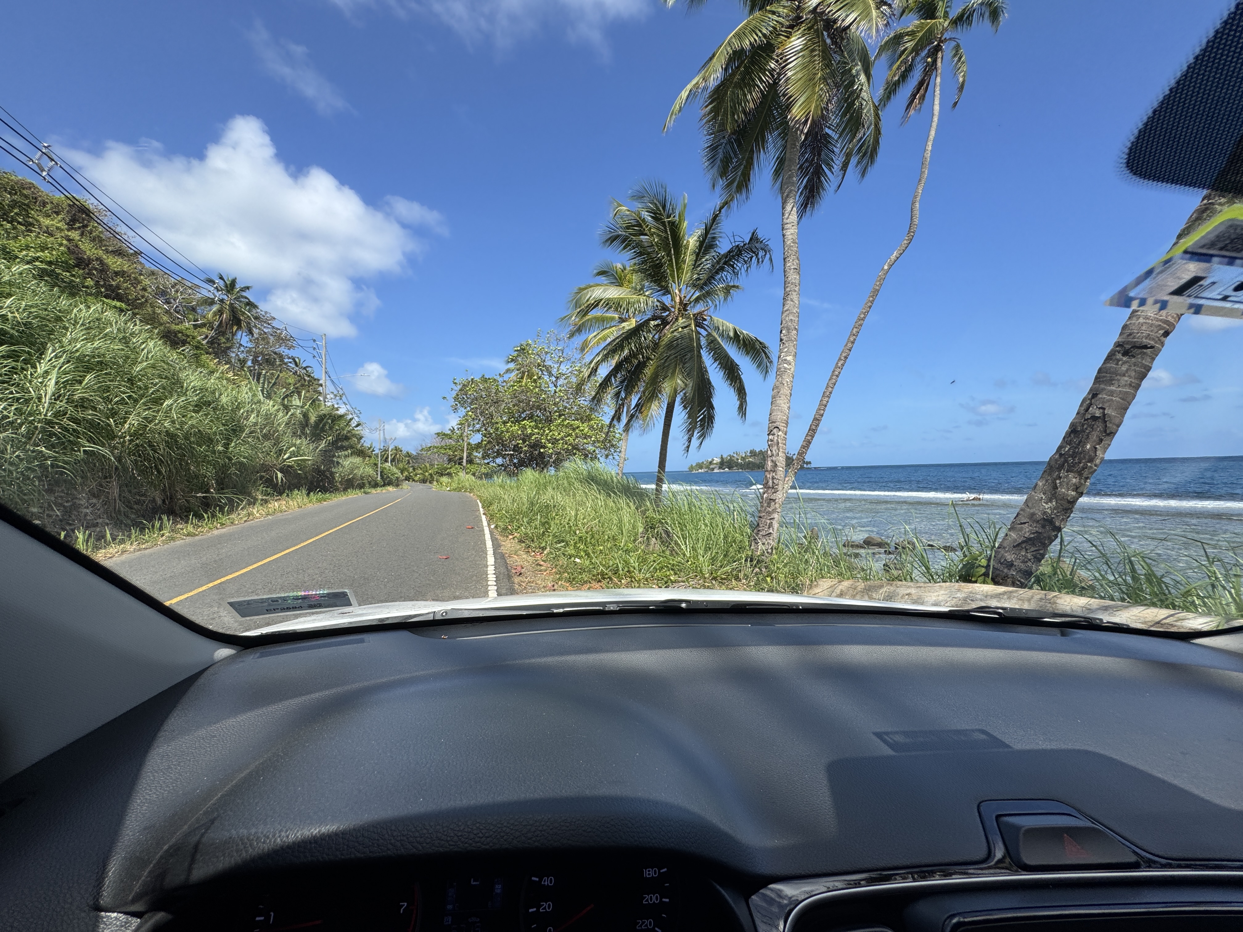
Through most of the 20th century, travellers to Portobelo and Nombre de Dios arrived by ship. Now there's a good road from Col n.
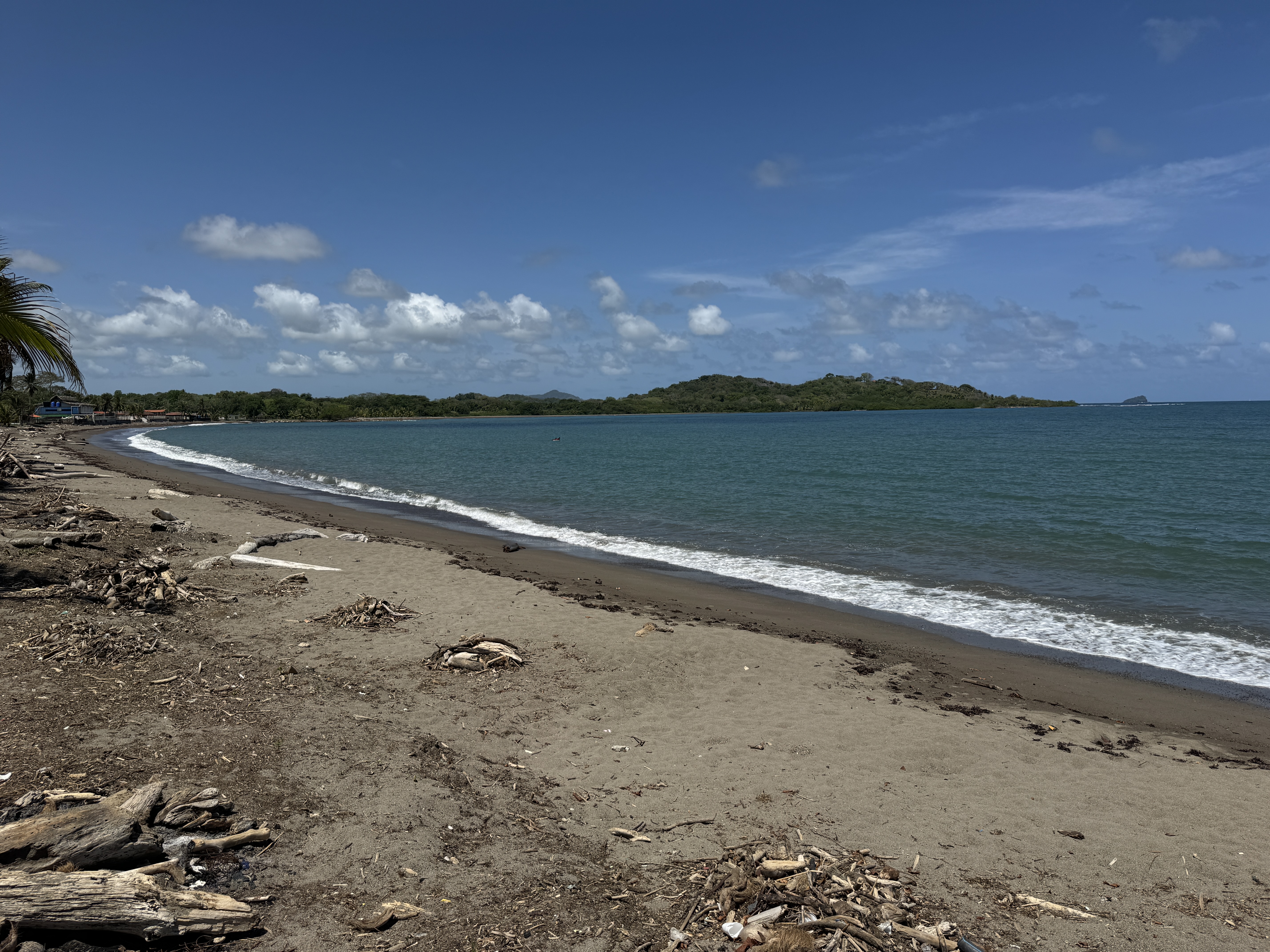
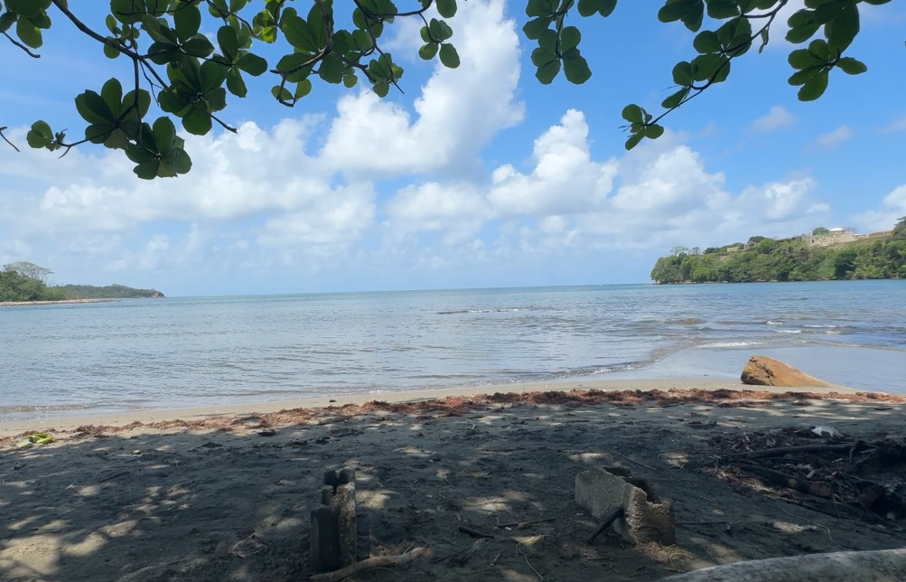
There's a lovely bay, but it offers little protection from pirates or storms.
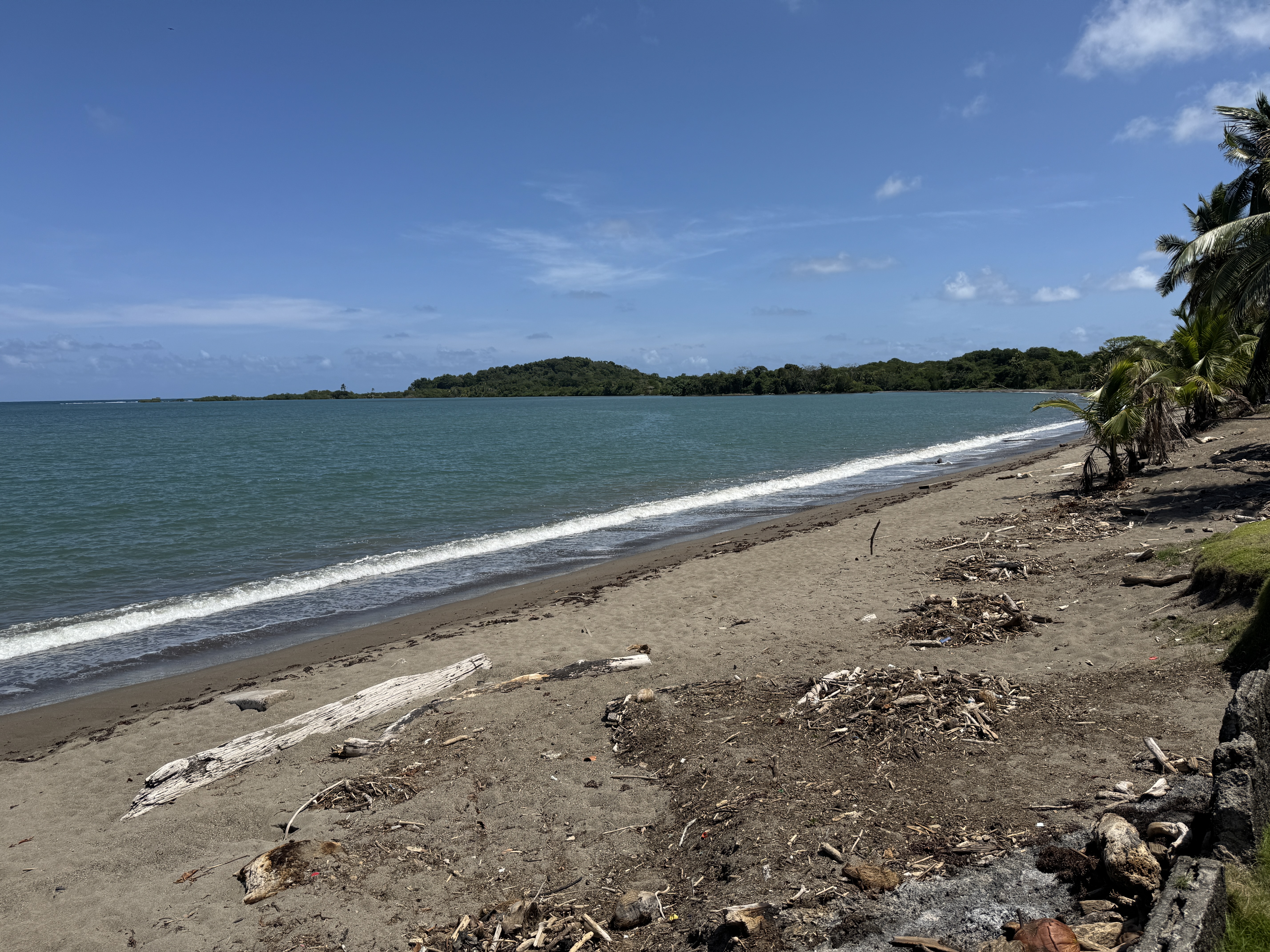
Same spot, looking south instead of north. There are no hotels, but if there were, they'd have tractors cleaning the sand. Americans building the Canal did more than that. They removed a million cubic yards of sand to make concrete for the Gatun Locks.
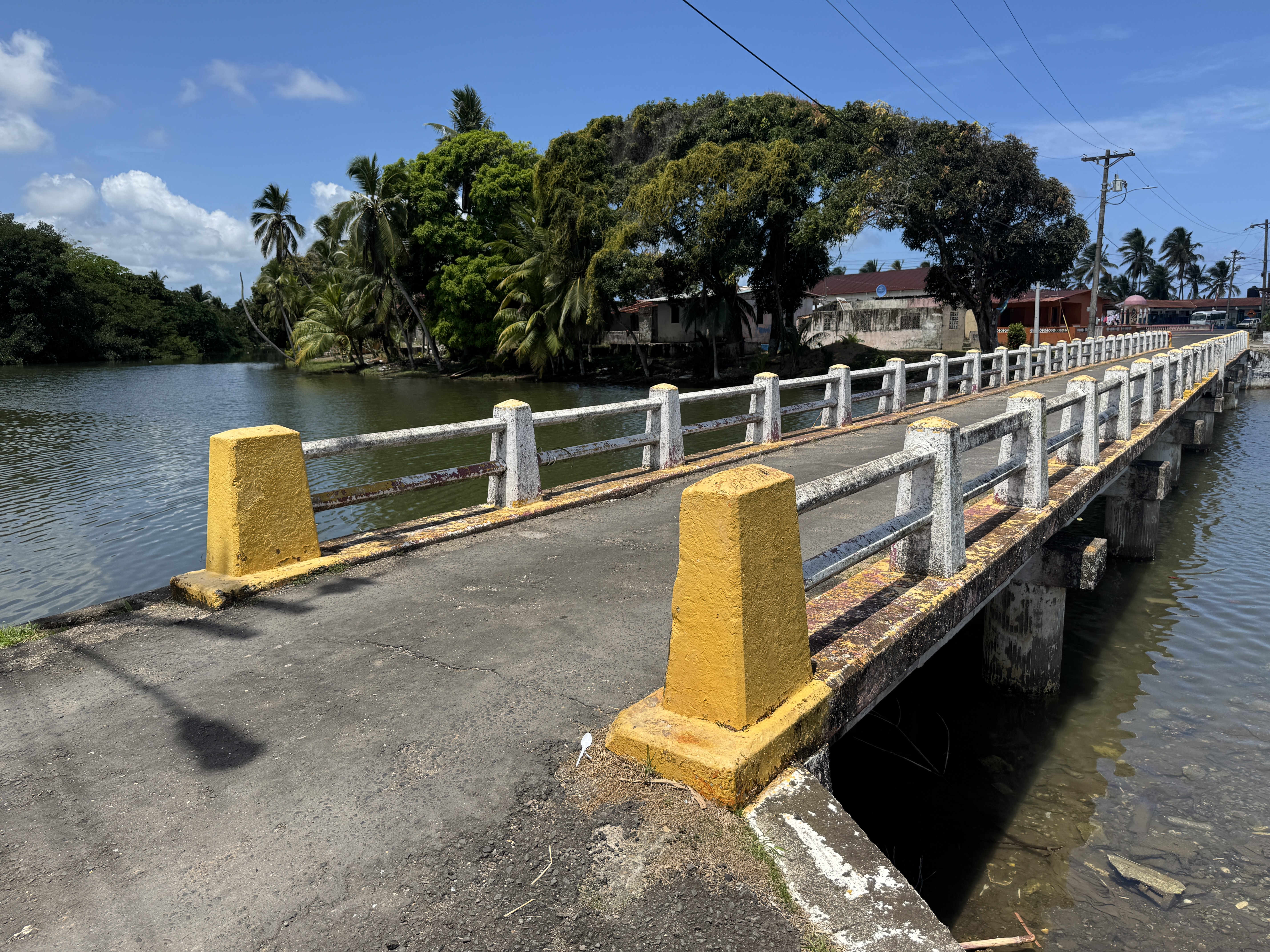
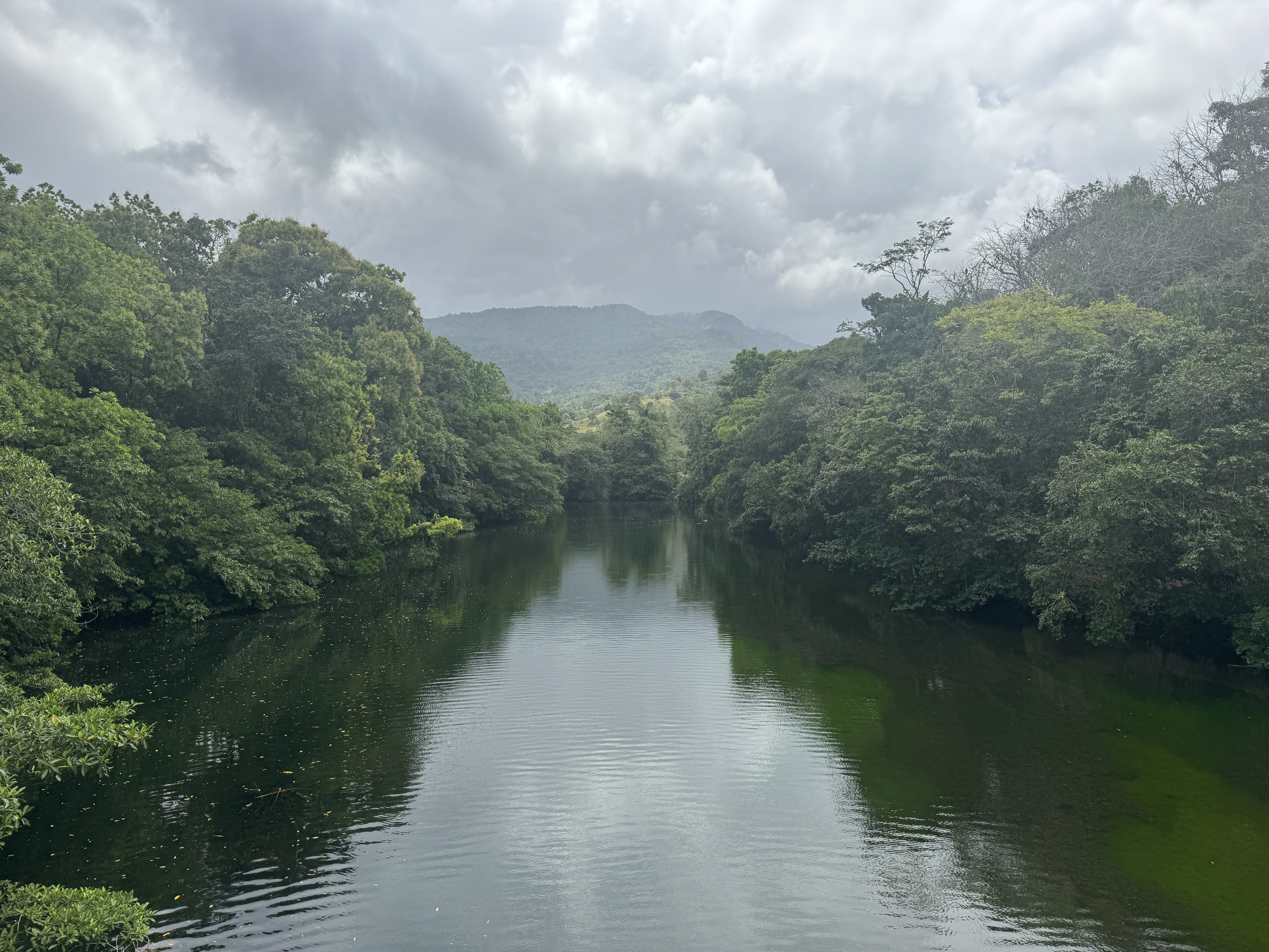
Since then, the Nombre de Dios shoreline has changed a lot, and the beach now is on a spit detached from the mainland by this lagoon.
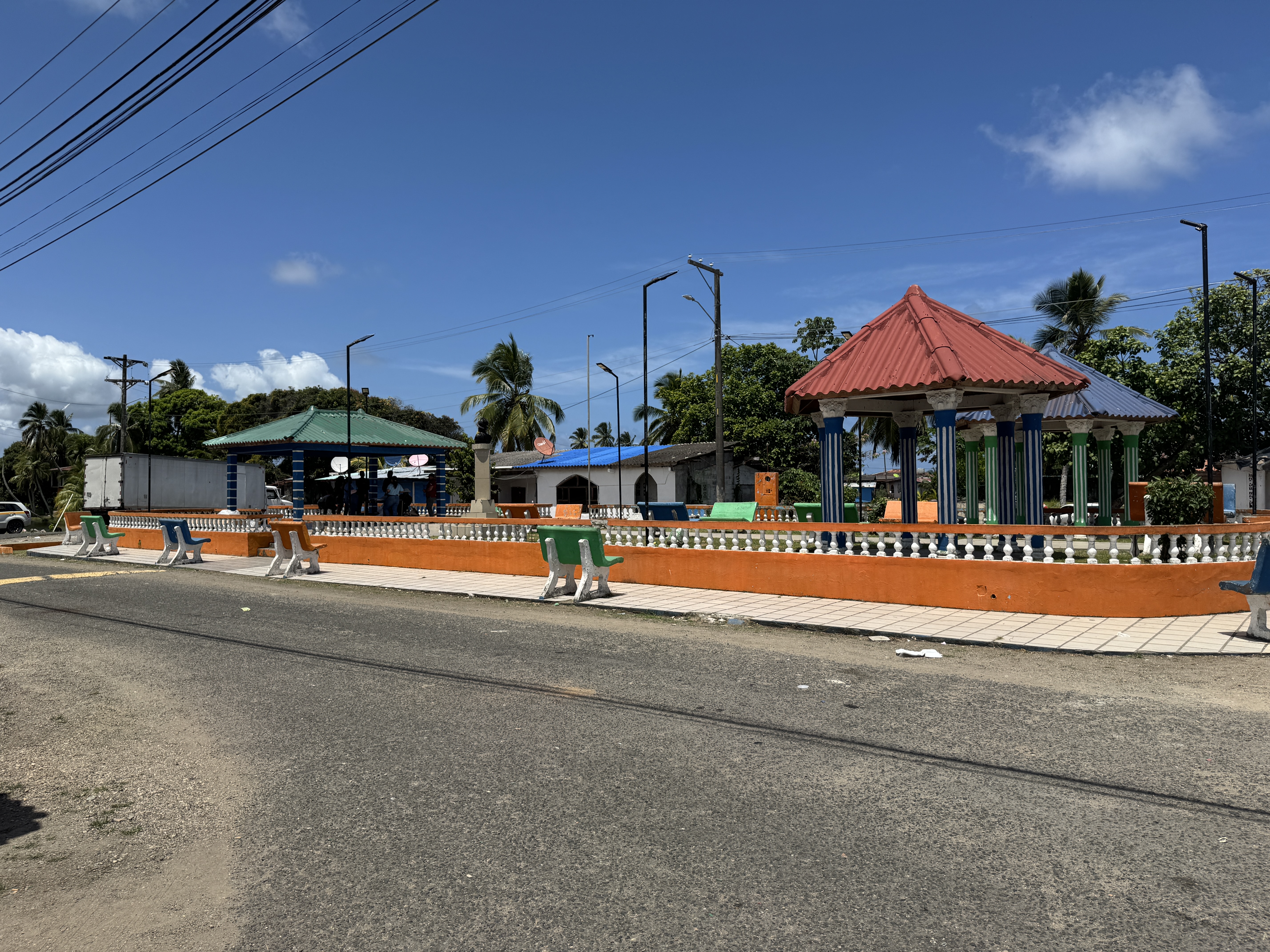
The town has few if any historical relics It does have a well-maintained park.
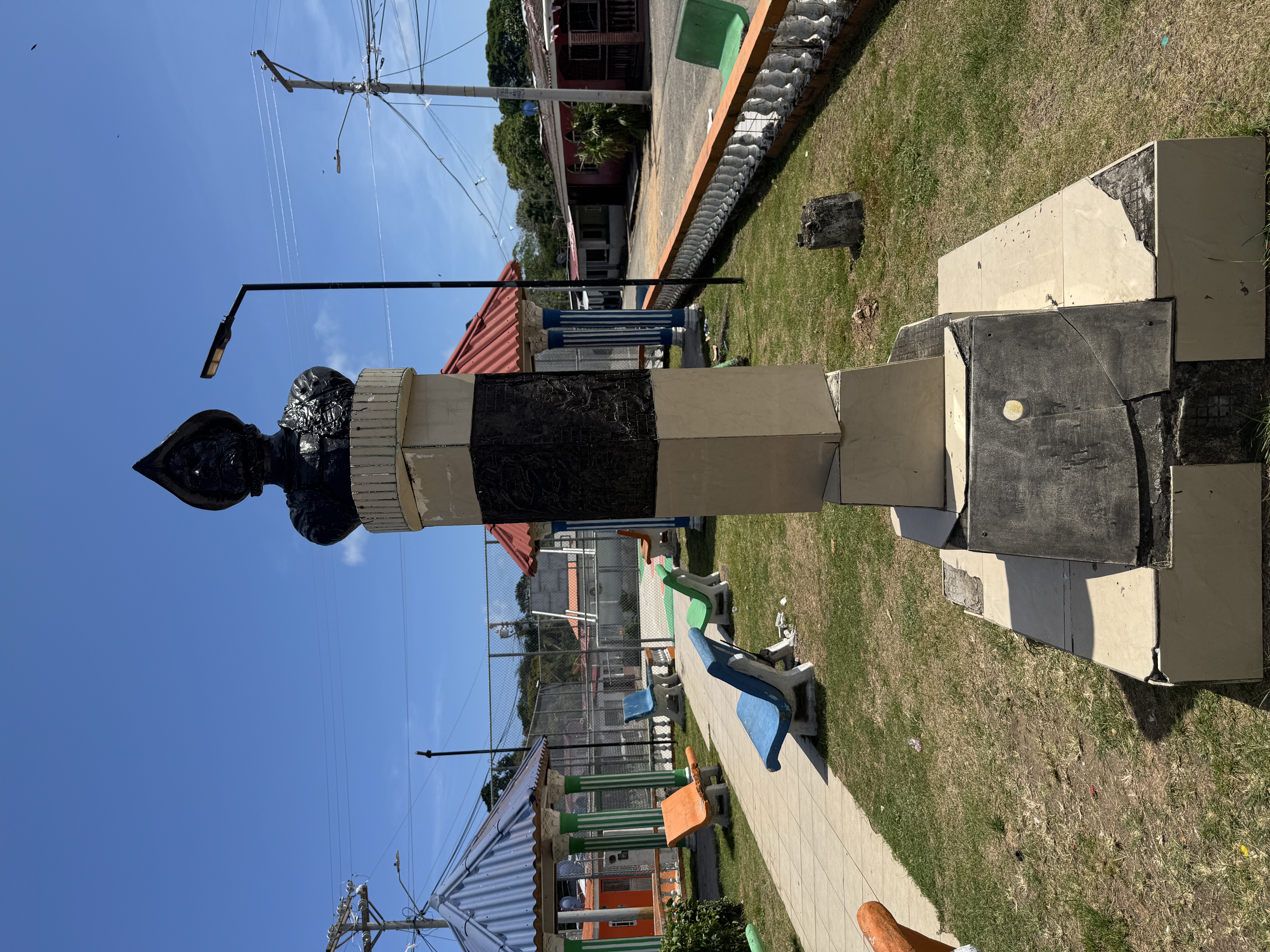
The park has a bust of Balboa. He was never here--he crossed the isthmus farther south--but he remains a hero in Panama. Of course a few years after seeing the Pacific he had his head chopped off by his own father-in-law, but we don't need to talk about that.
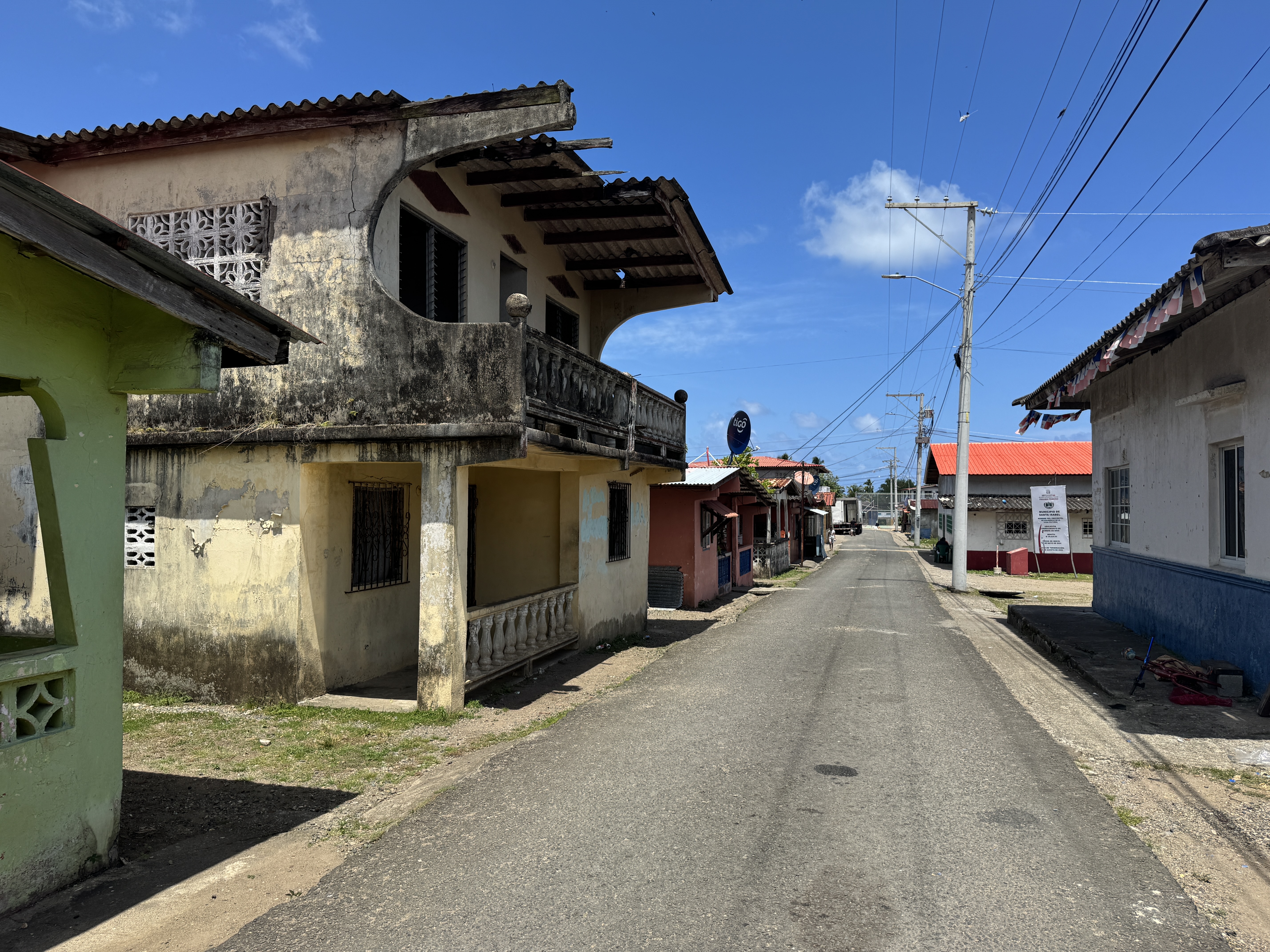
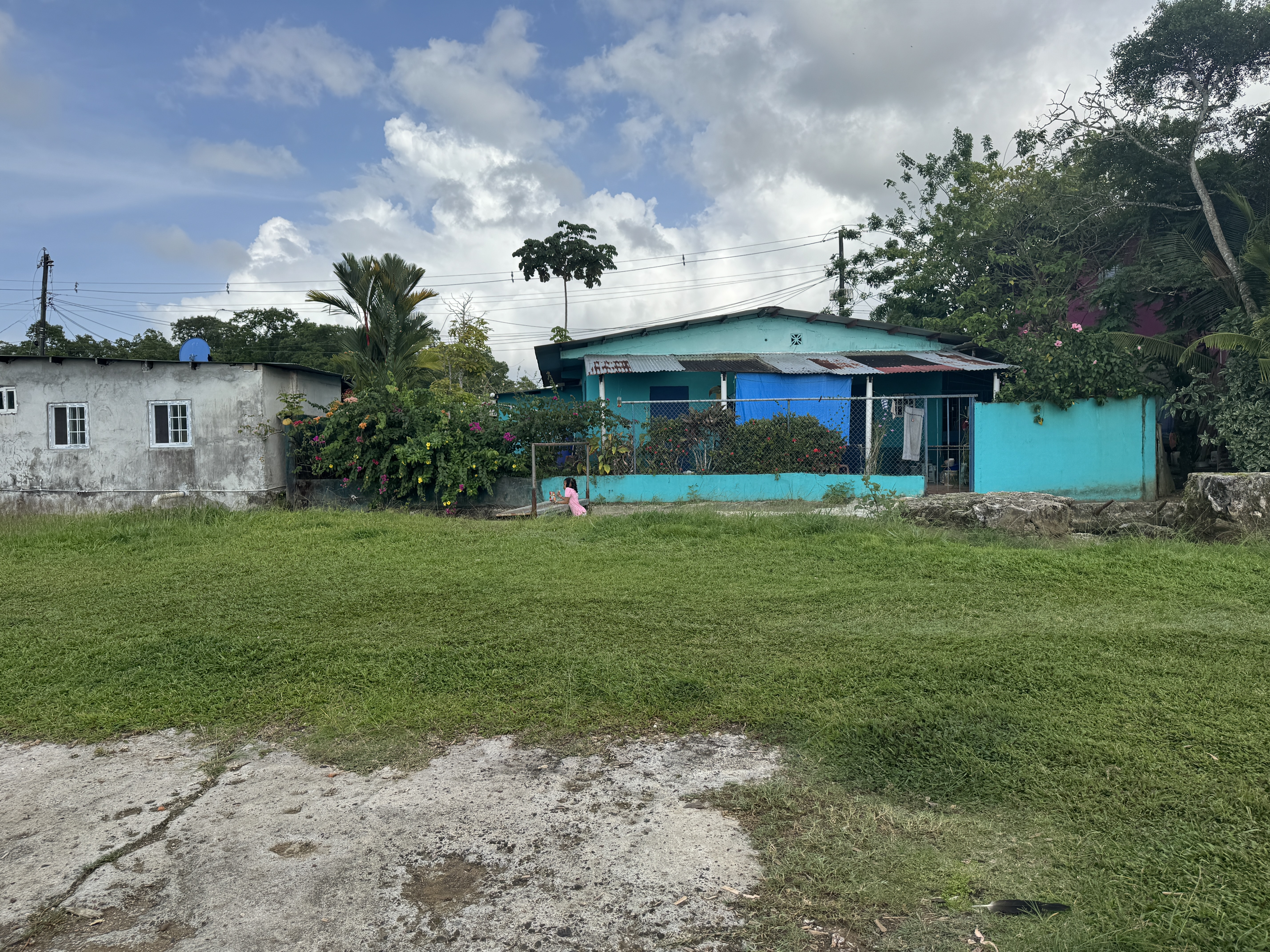
The town itself is modest, down from 5,000 once upon a time to about 1,000.
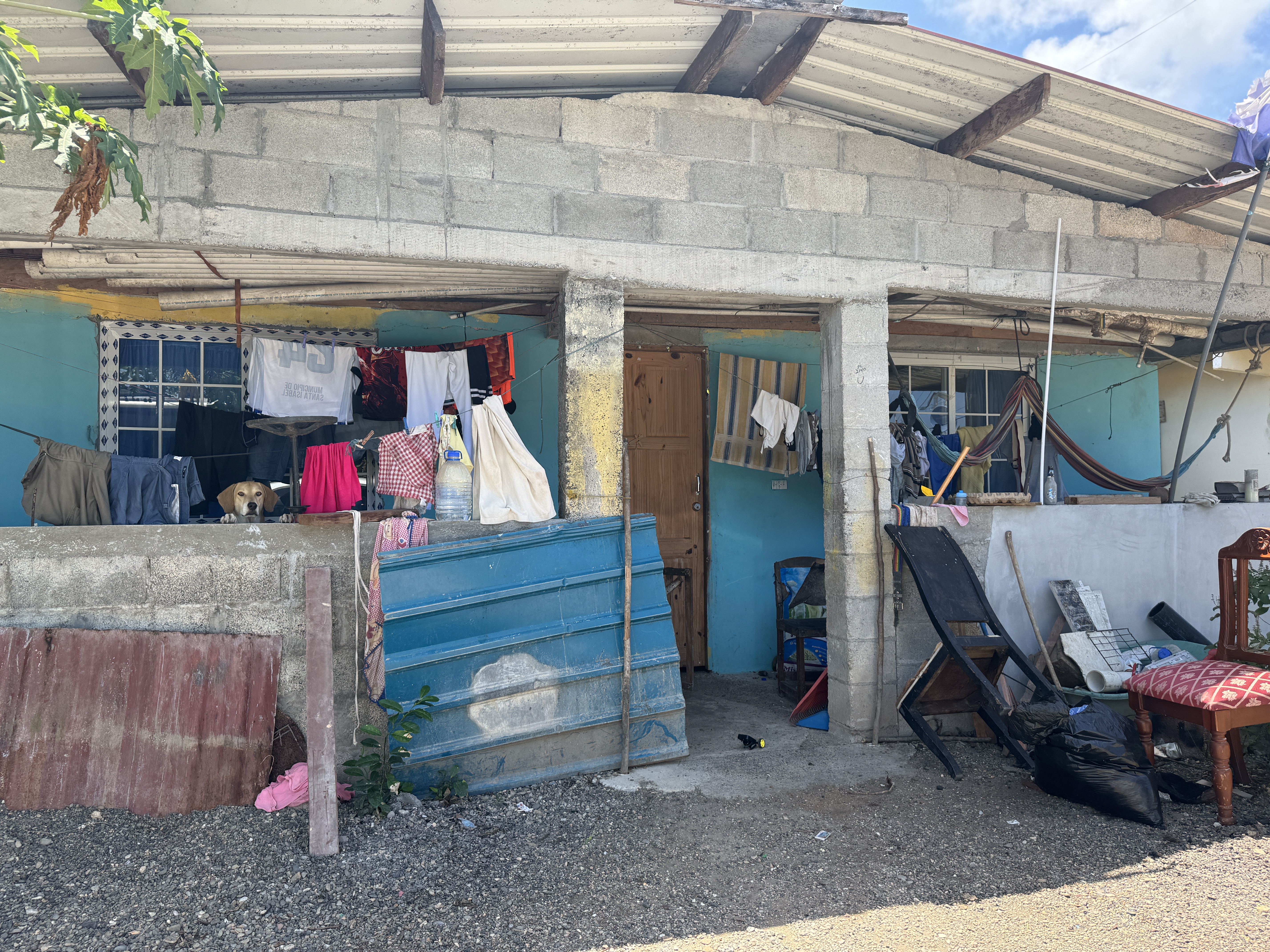
Towns always have people with less.
And people with more, along with the determination to protect it.
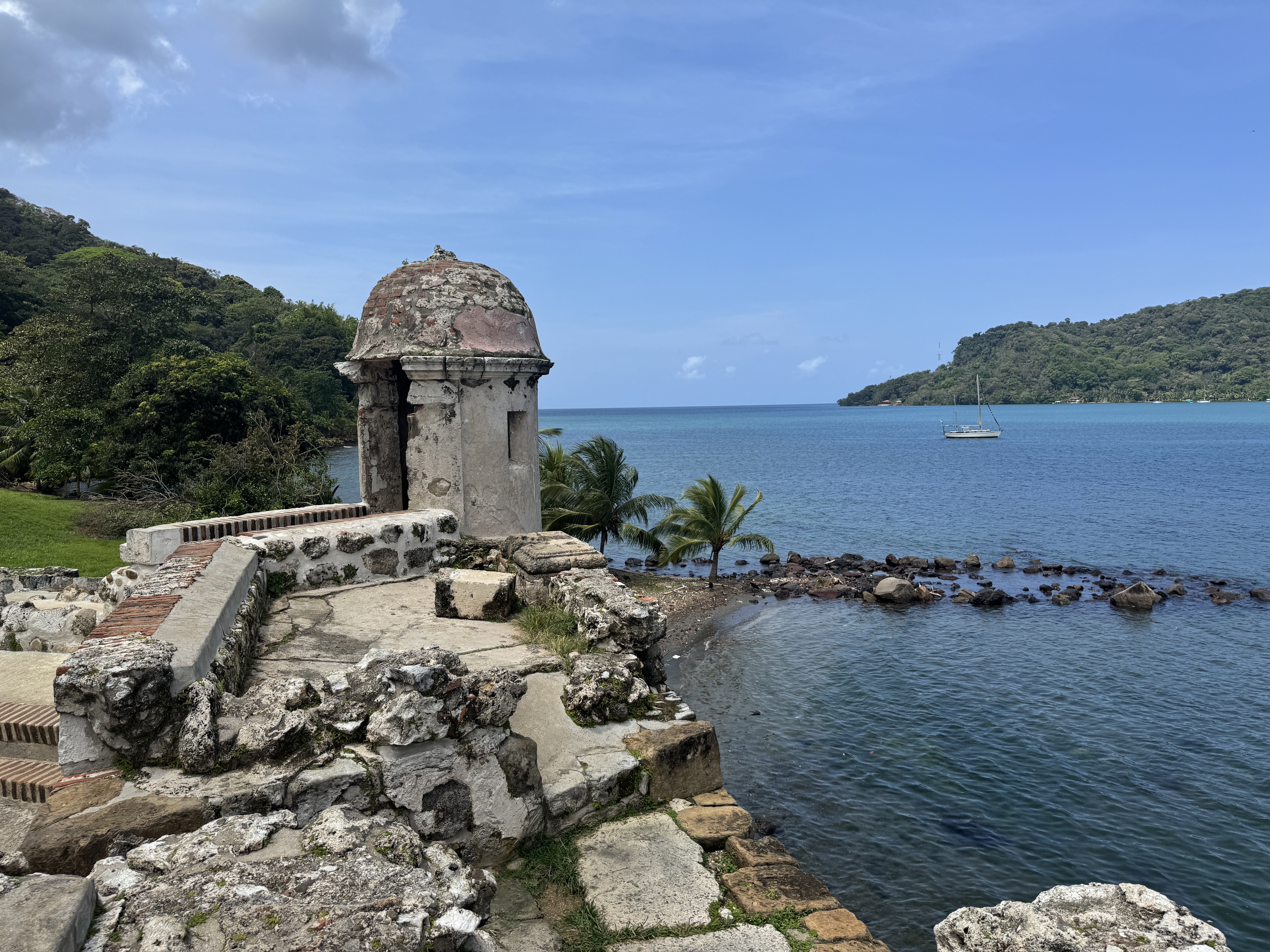
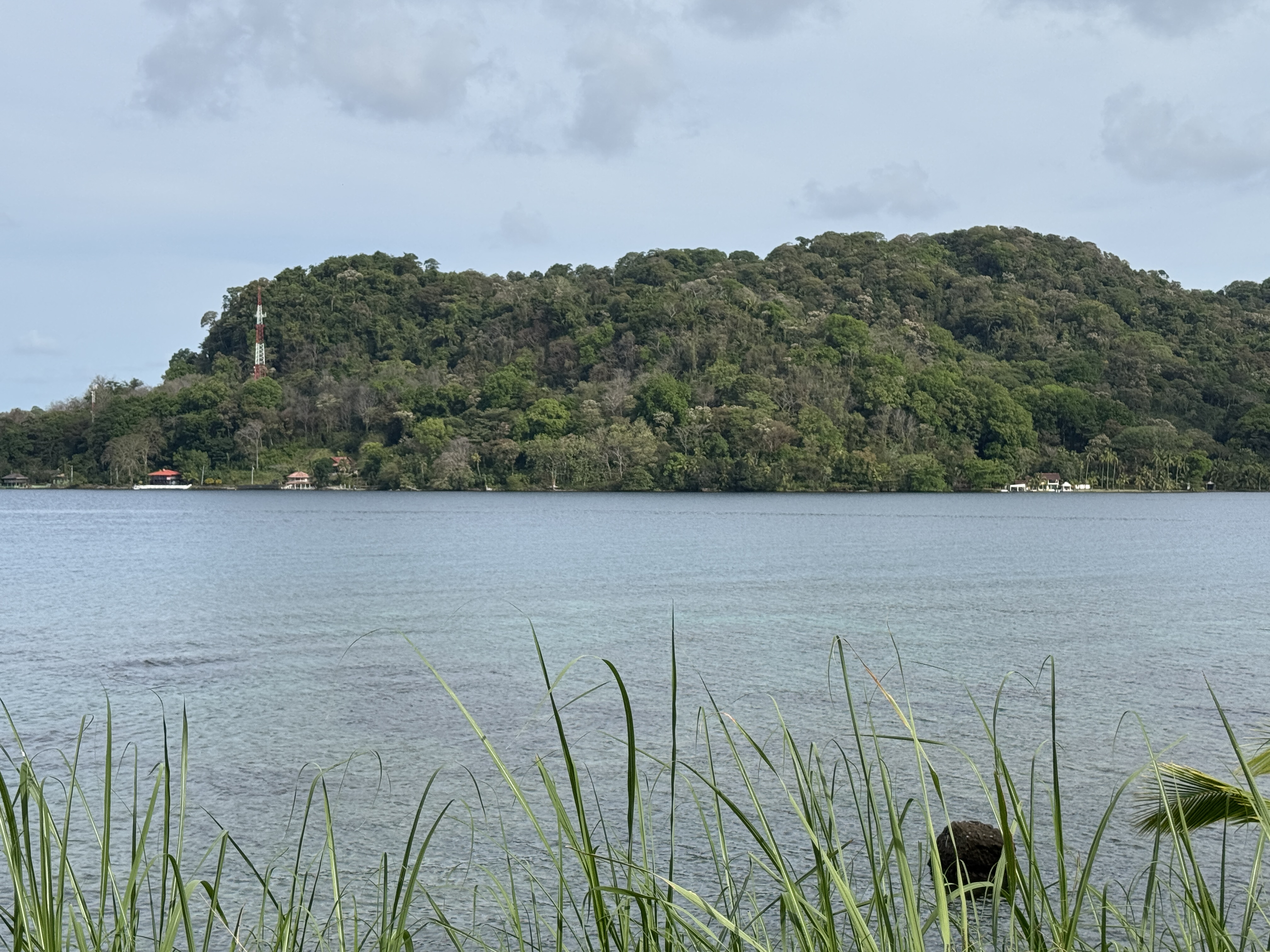
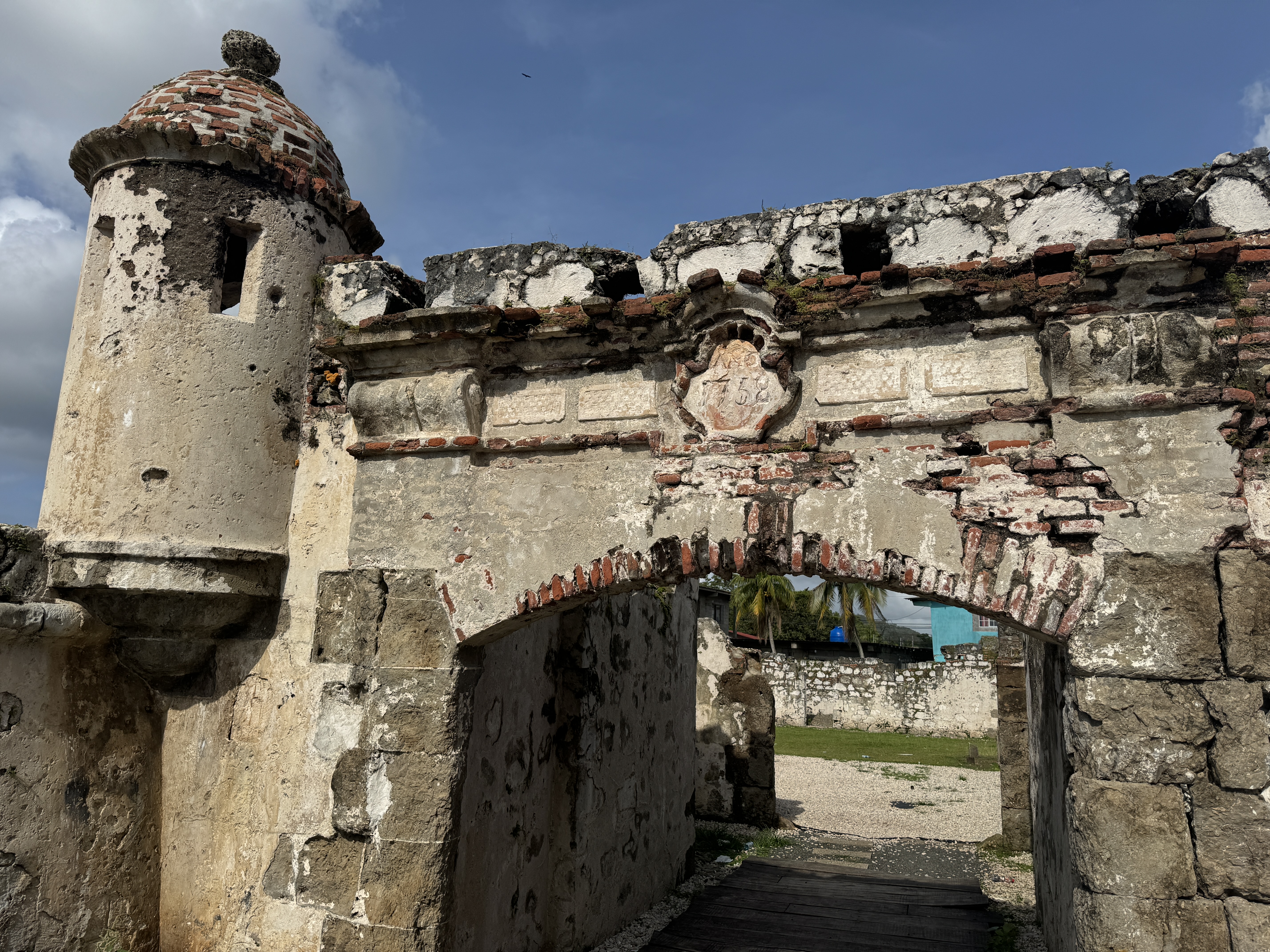
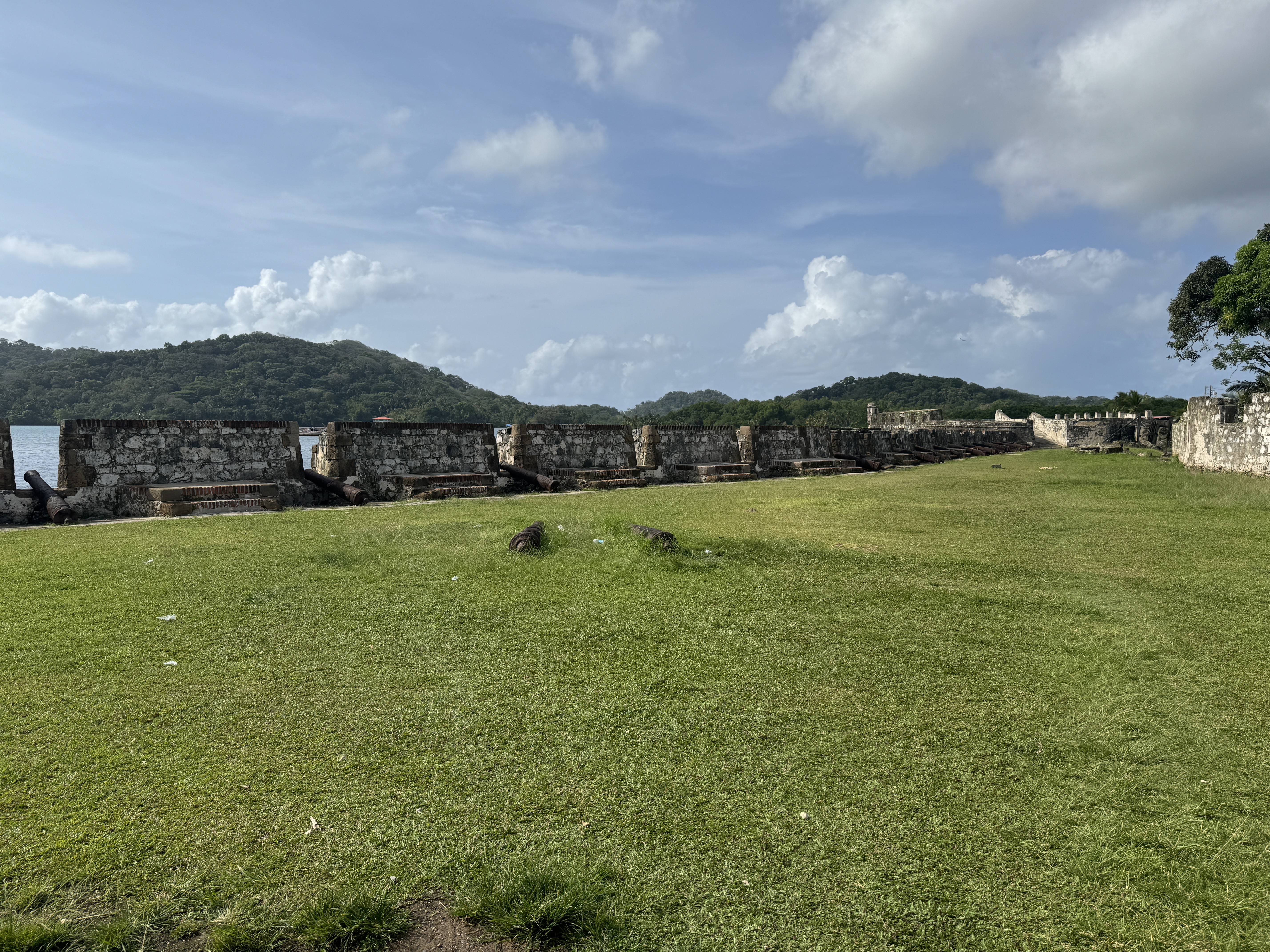
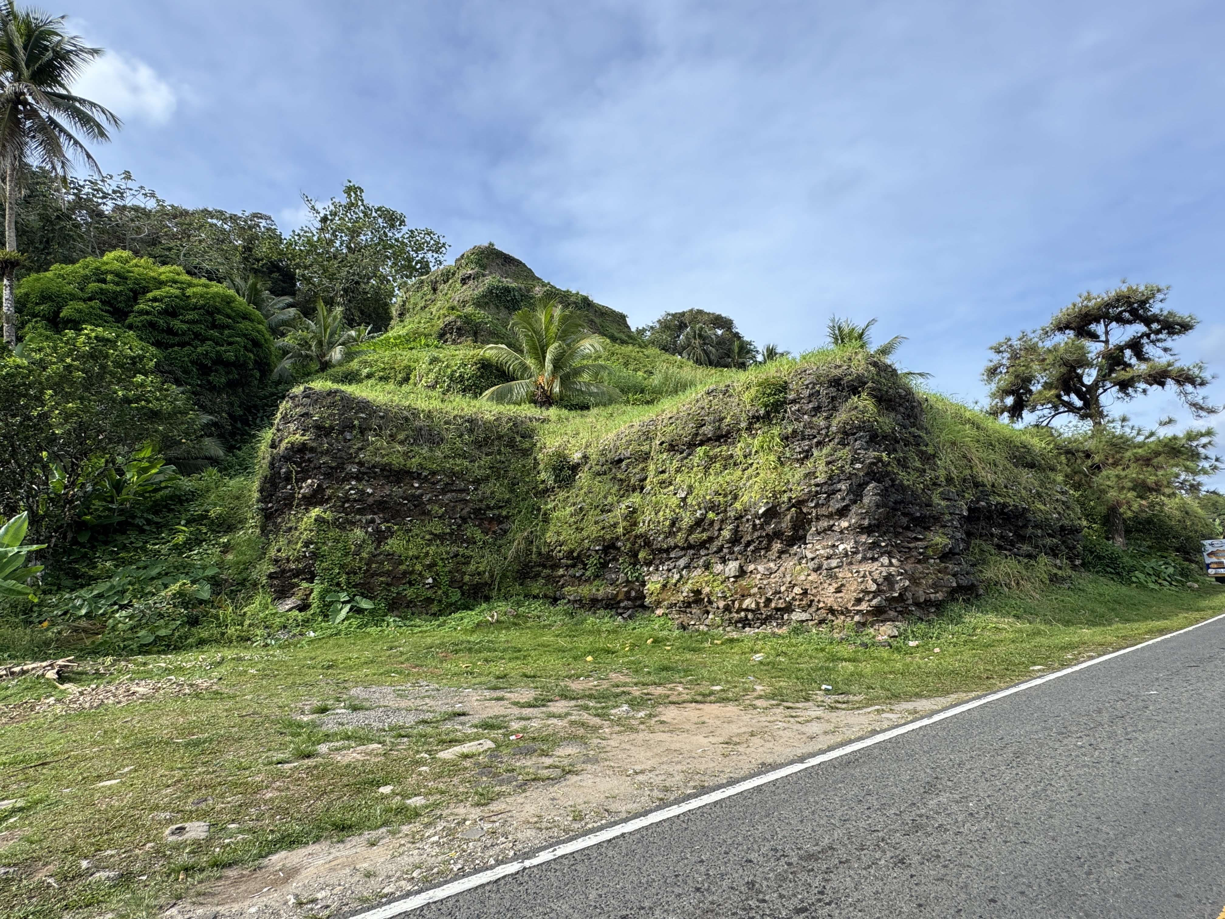
15 beeline miles north, we're at Portobelo and the Santiago Fort. Surely pirates could be kept out of this bottle-shaped bay. Not quite. The town was established in 1597 but was captured in 1601, again in 1668, and a third time in 1680. In 1739 the British admiral Edward Vernon took the town, which led to celebrations in London and the writing of "Rule, Britannia," along with the renaming of London's Green's Lane as Portobello Road.
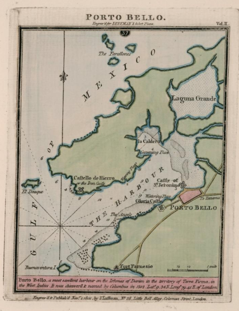
This map from 1801 shows Porto Belo with three protective castles. We just saw the one labelled "Gloria." (https://www.davidrumsey.com/luna/servlet/detail/RUMSEY~8~1~315306~90084130)
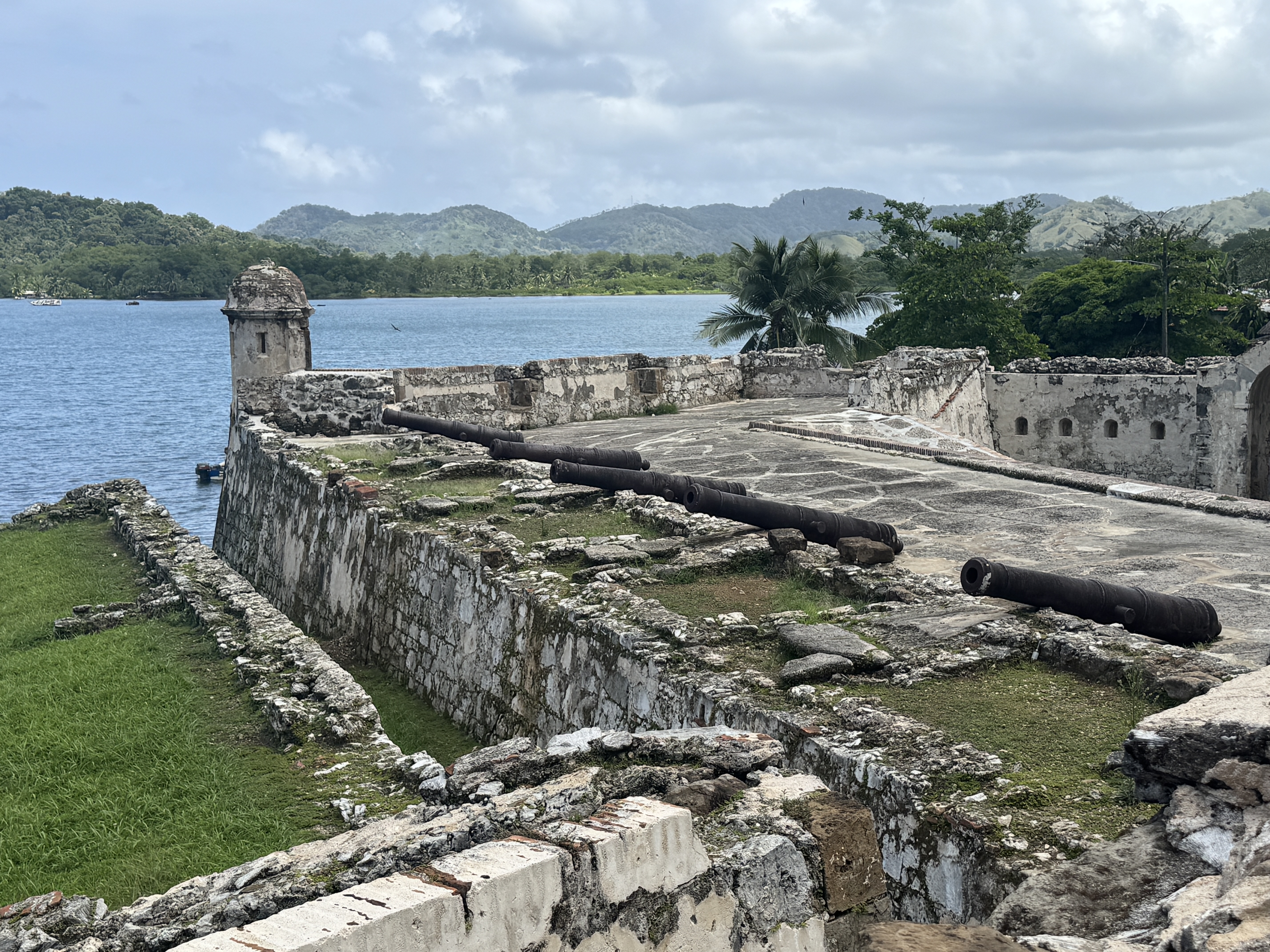
Here it is again, as rebuilt in 1753.
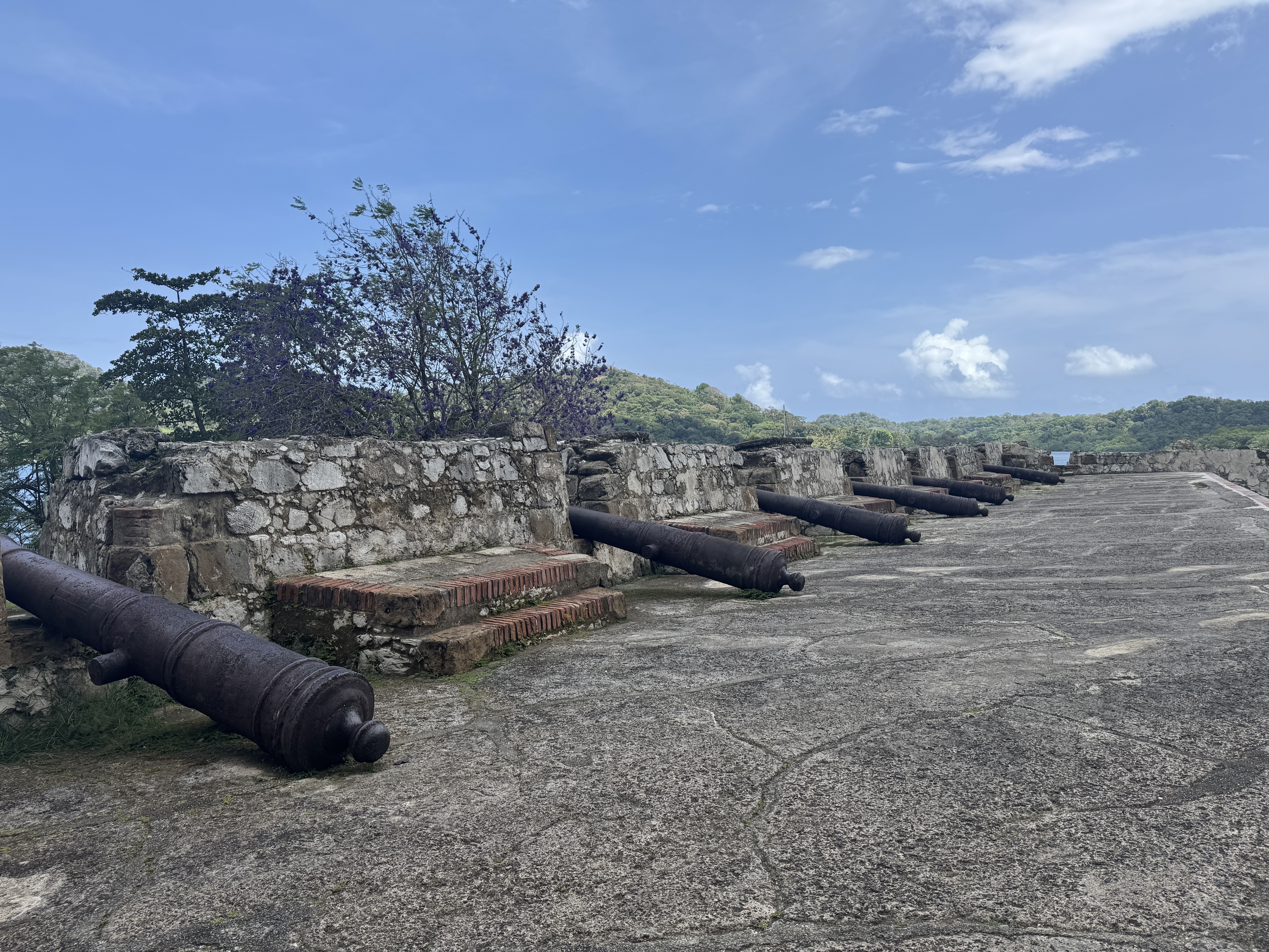
Wooden gun carriages don't last.
Early in the 1900s, the other side of the bay was noisy with a thousand Americans quarrying almost seven million cubic yards of rock for breakwaters at the Atlantic mouth of the Canal and also for concrete needed for the Gatun Locks.

The bay is again peaceful.
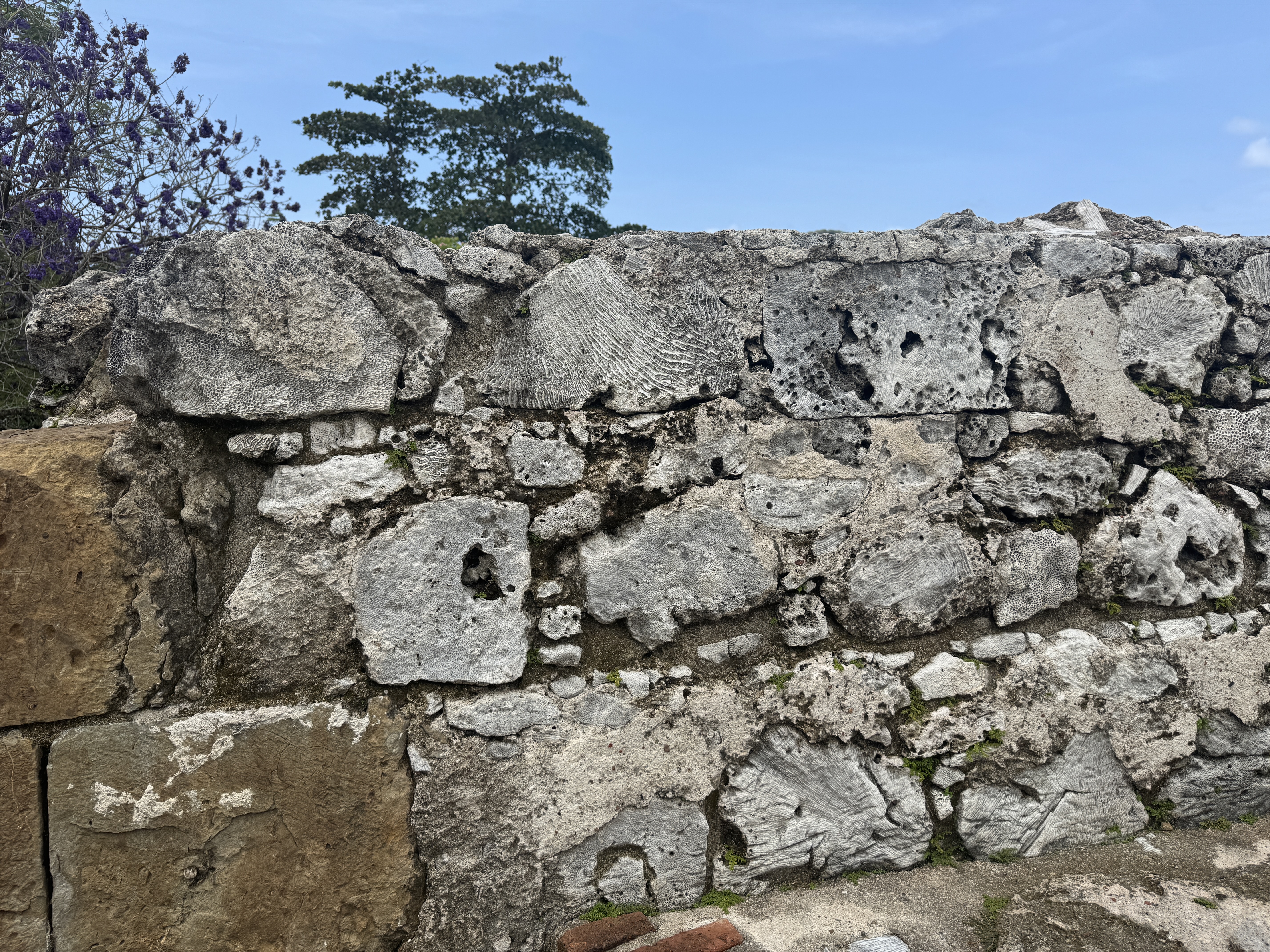
For me, the most interesting detail in the fort was the stone.
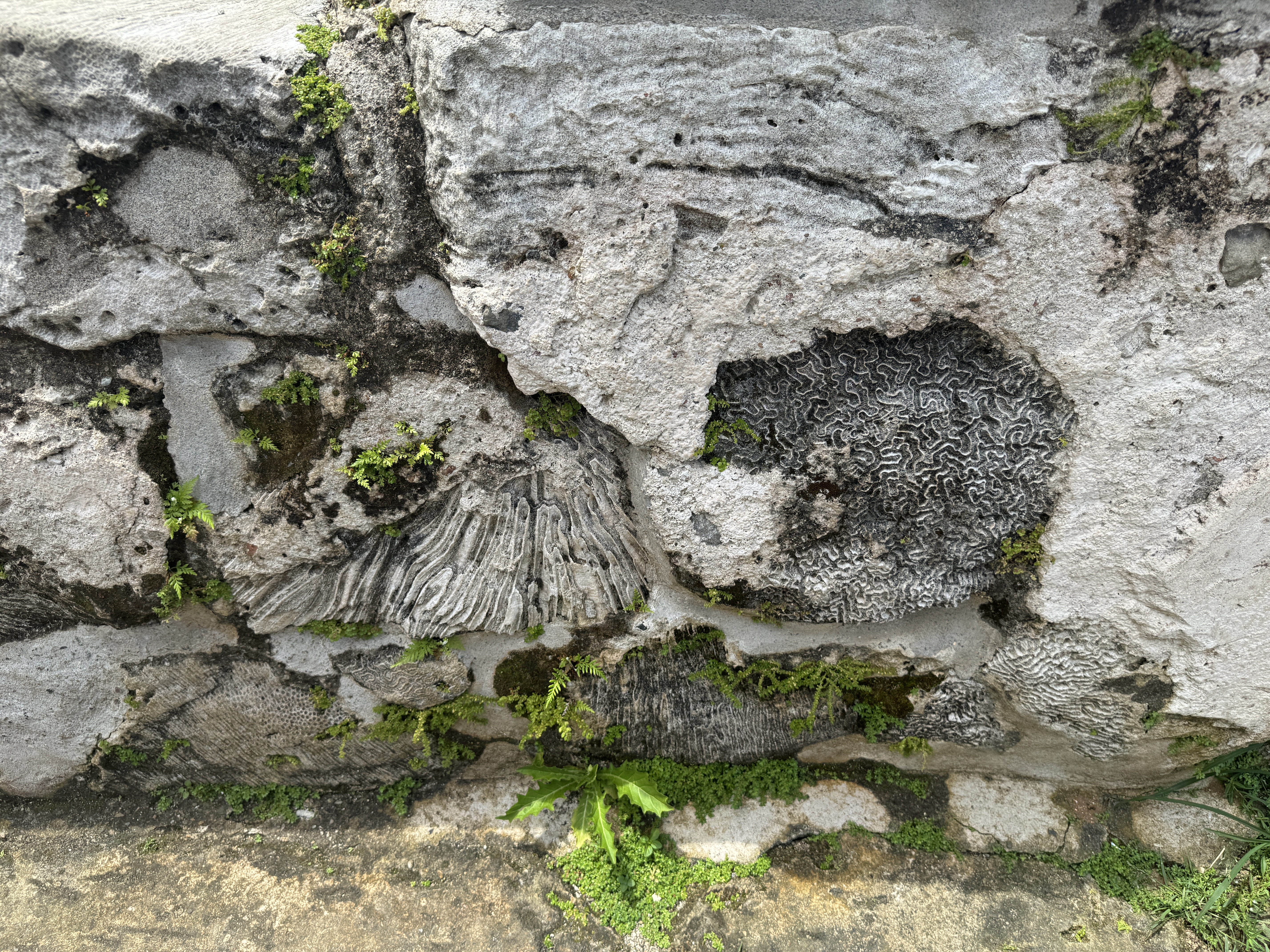
Yep, coral.
Here's Fort Geronimo, at the other side of town.
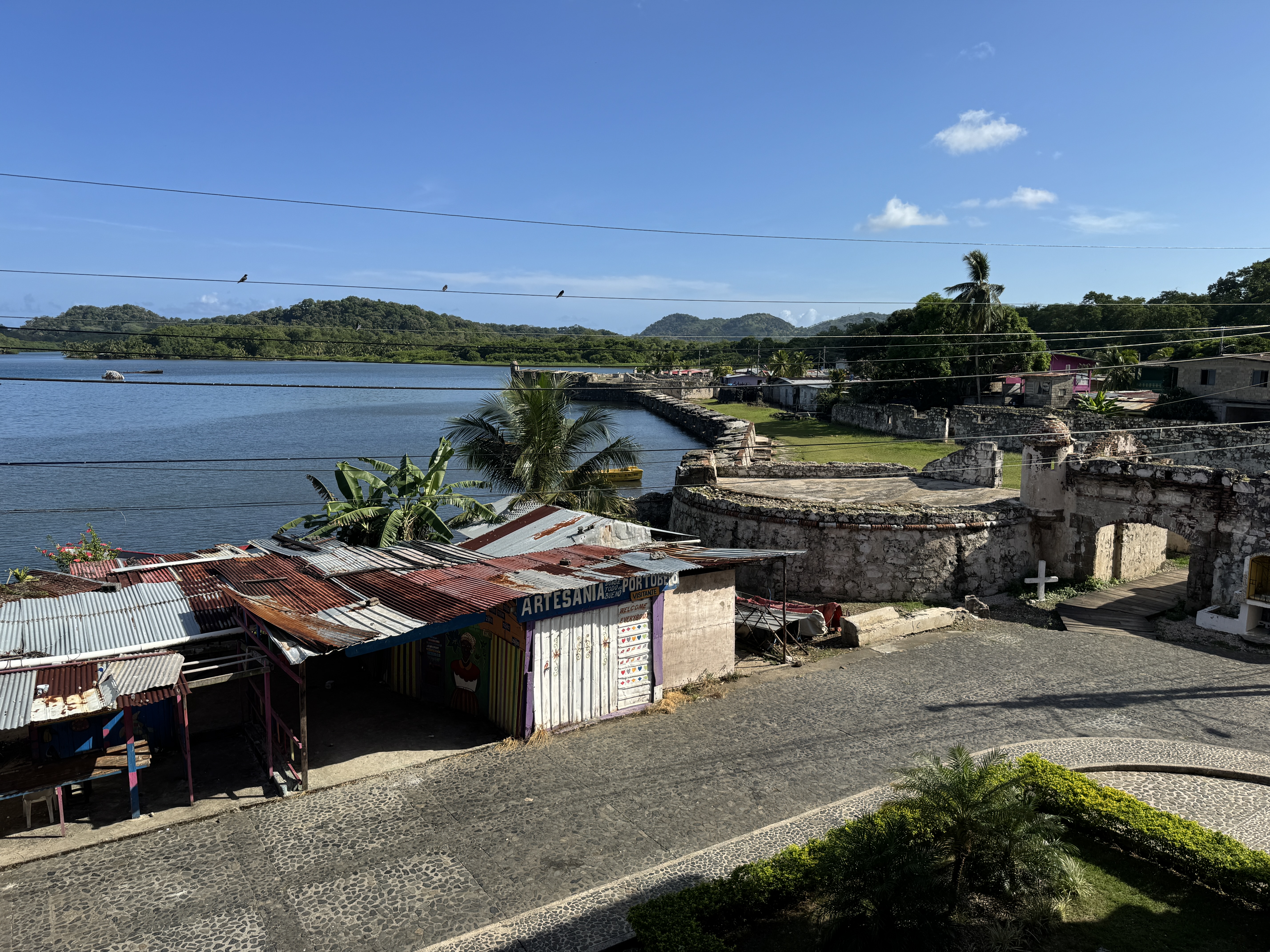
UNESCO put Portobelo on its World Heritage List in 1980 but has for many years been unhappy with Peru's management of the site. One objection is "urban intrusion."
Looks bucolic.
Turn around and there's more "intrusion." Is it a problem? I don't know. It didn't bother me.
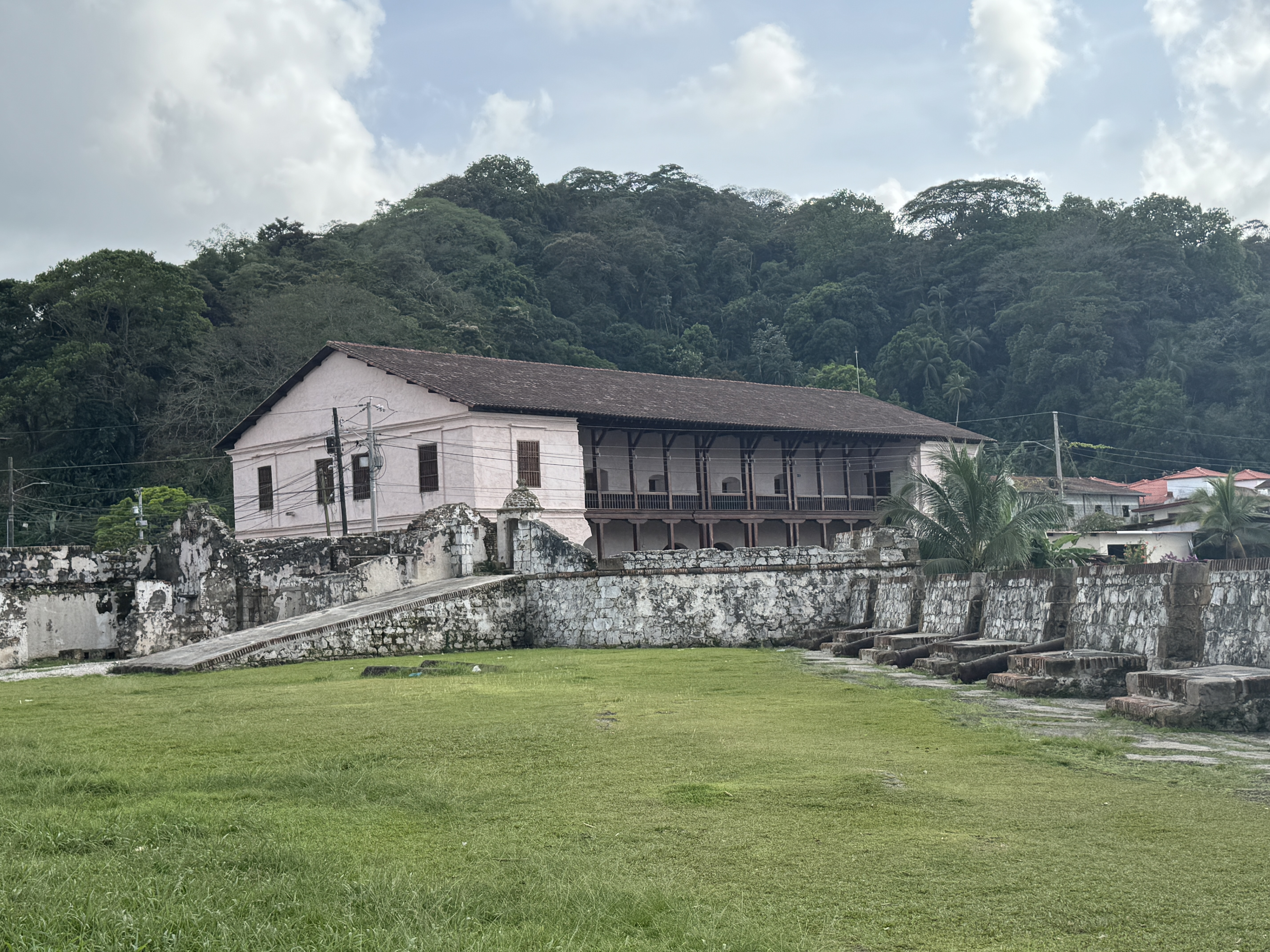
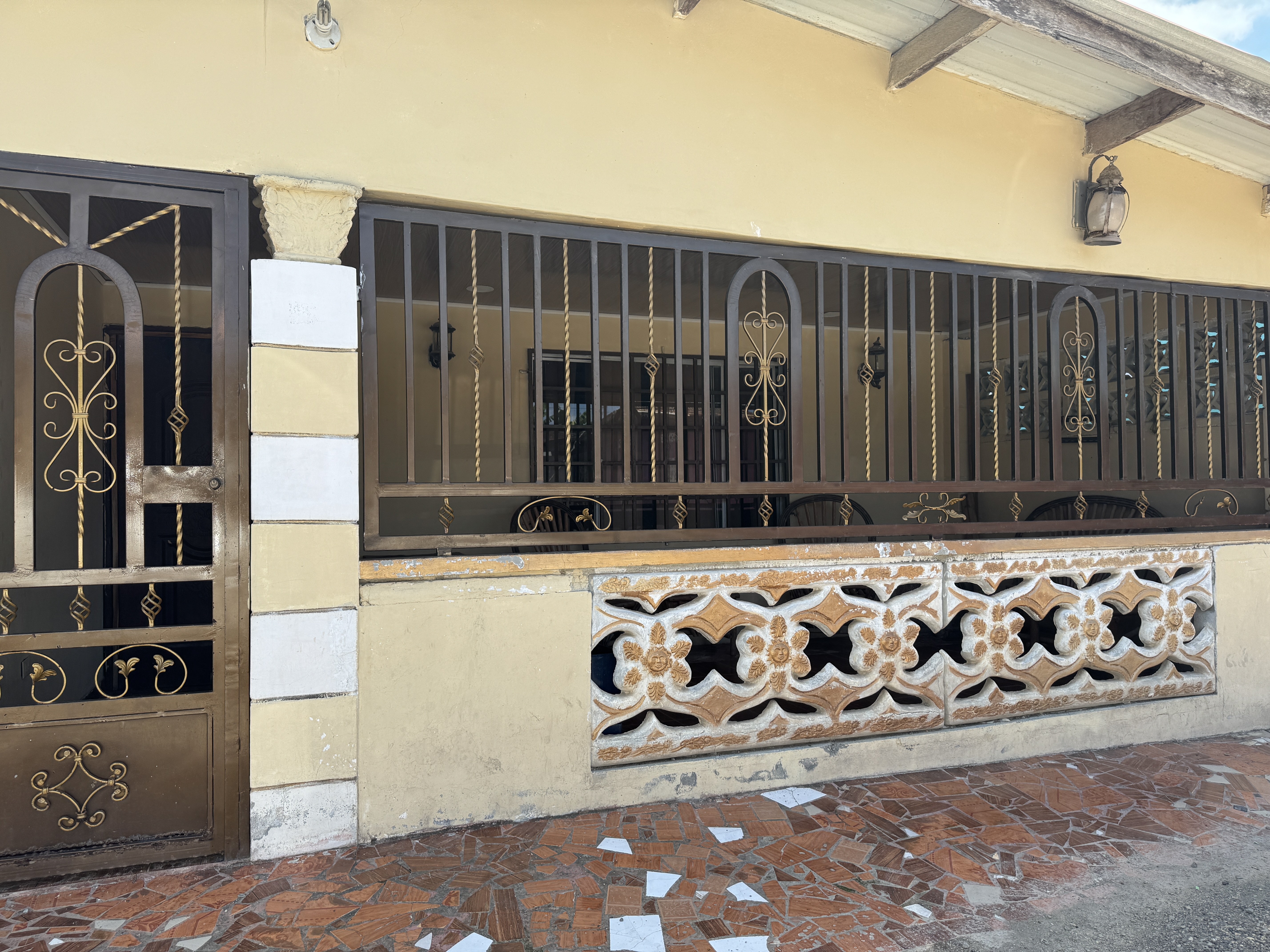
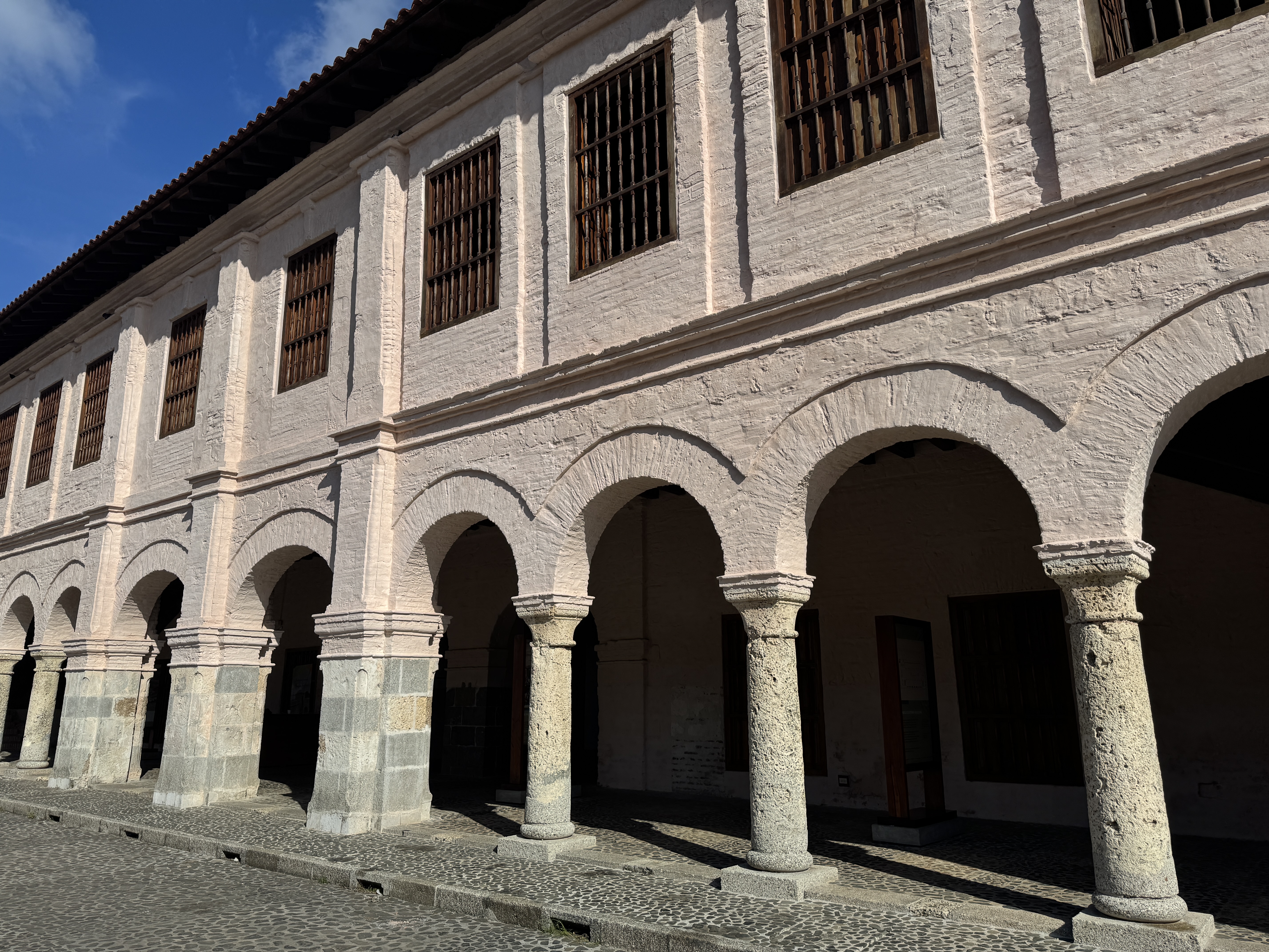
Is this intrusion? It's the old Spanish aduana or custom house, where treasure was counted before heading east.
How do you think it's lasted four centuries in such great shape?
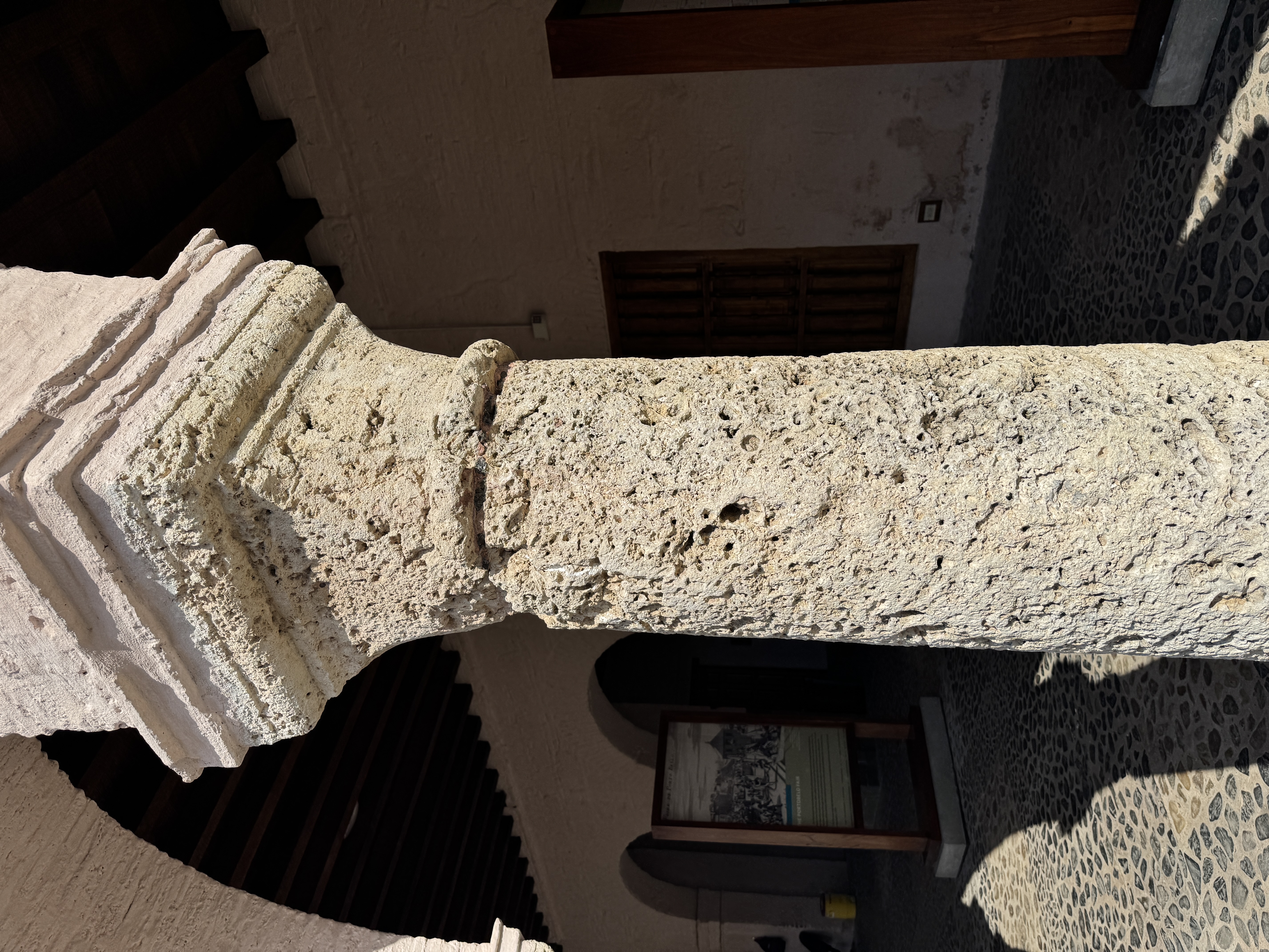
Beautiful coral columns.
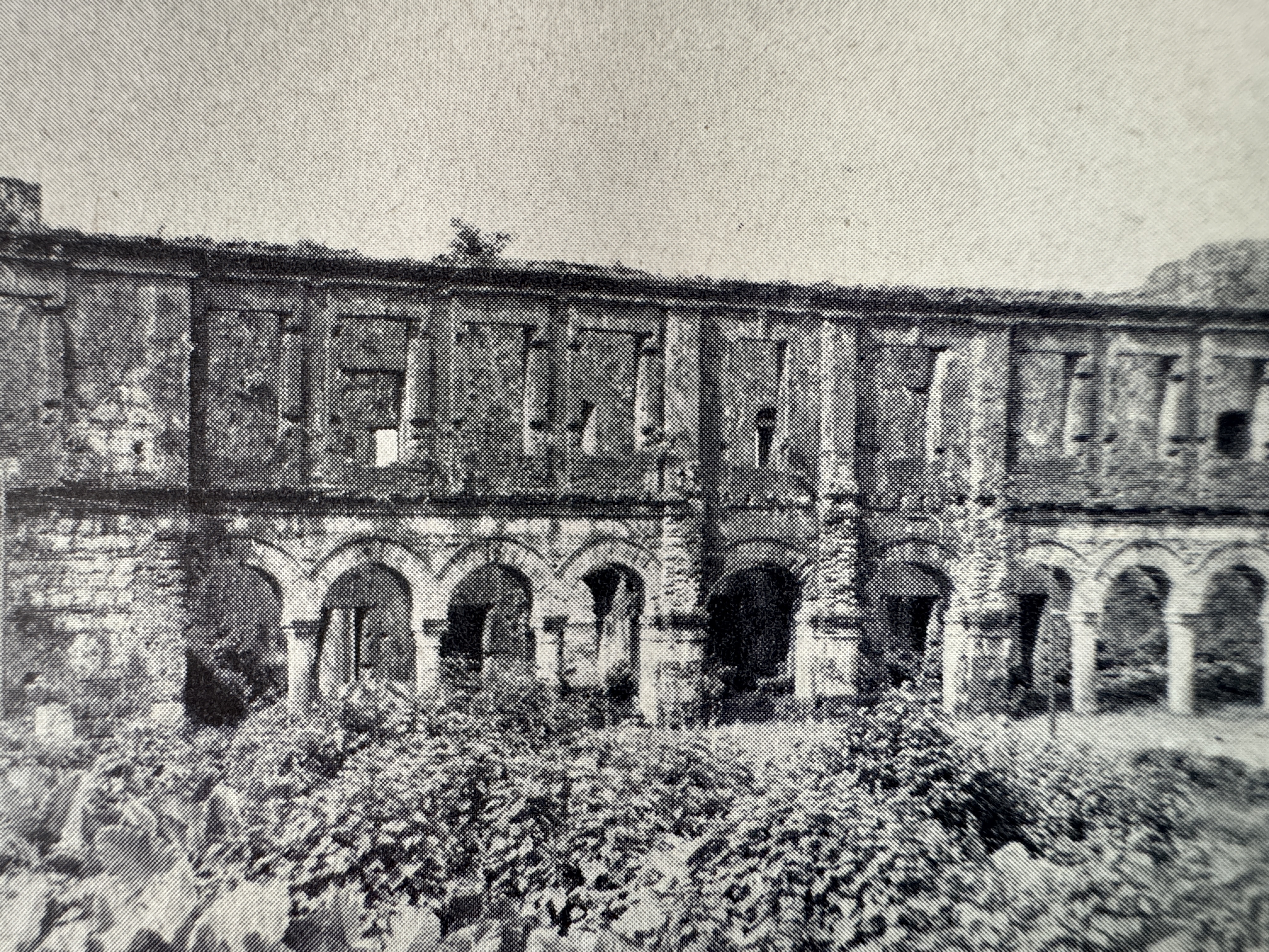
Answer: it hasn't. Gerstle Mack took this photo in 1941. (Gerstle Mack, The Land Divided, 1944, p. 51)
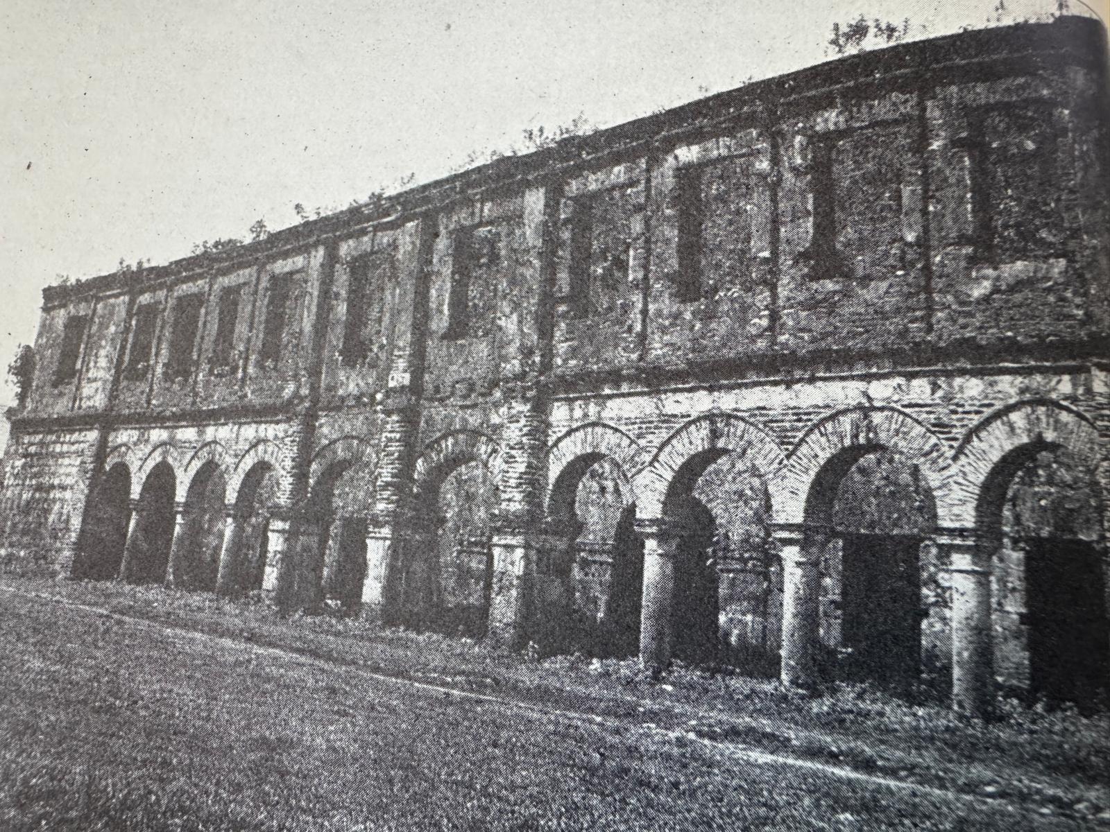
Here's a slightly earlier photo, showing how much work had to be done to bring the building back. (Willis J. Abbot, Panama and the Canal, 1913, p. 50)
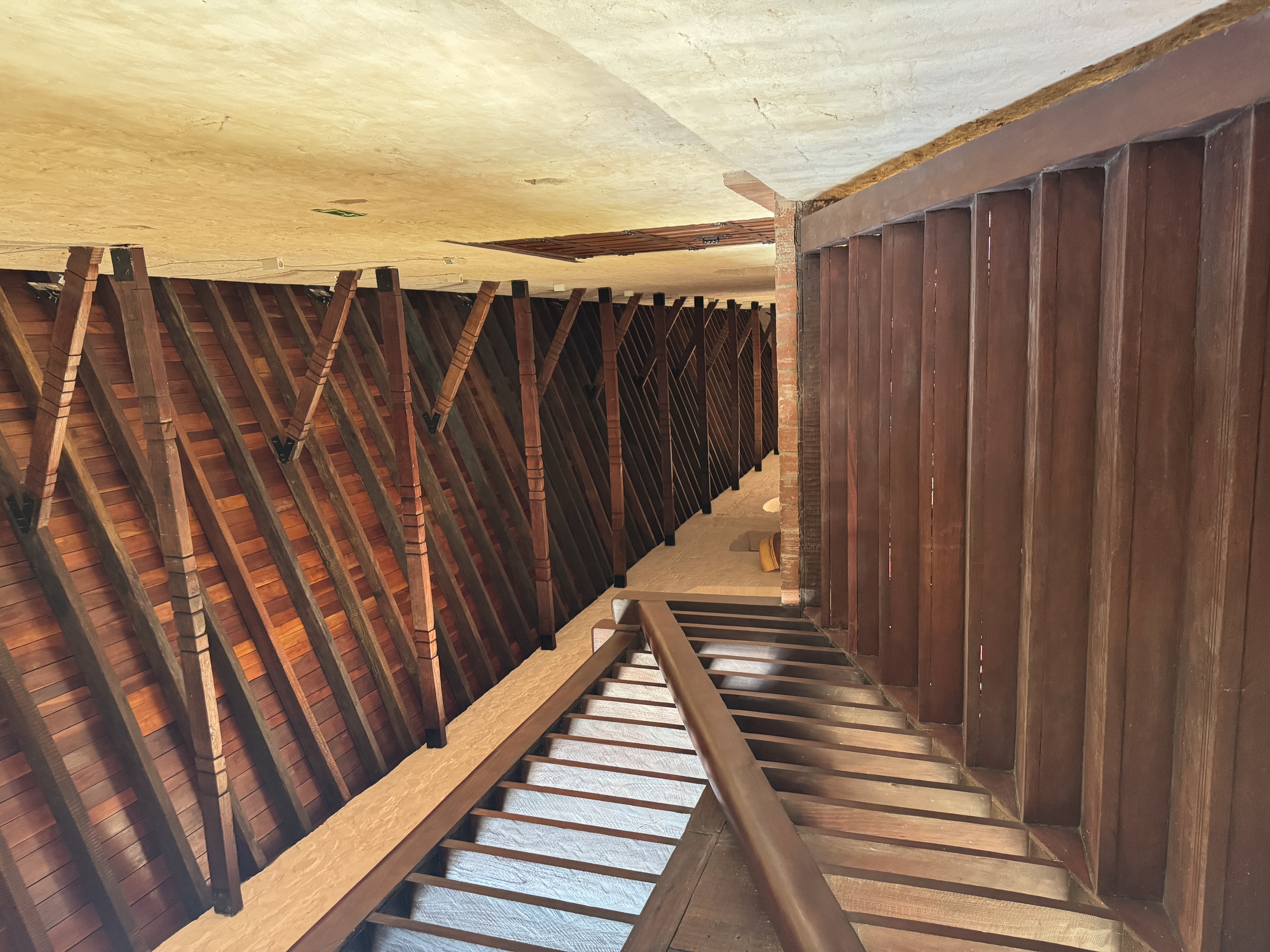
New stairs up to a newly roofed balcony.
New bricks, too, I bet. Is it too perfect? I'm tempted to call this "intrusion."
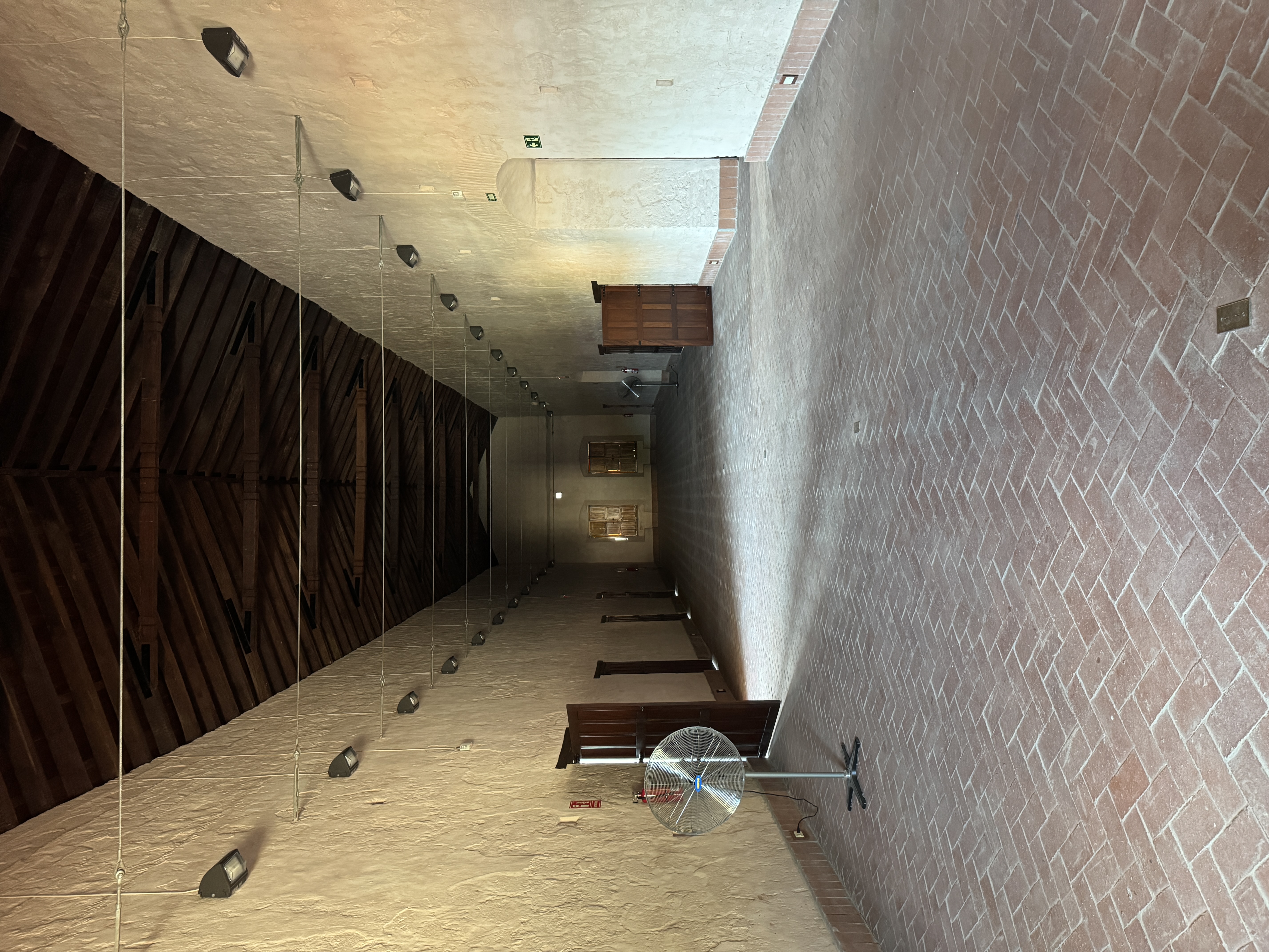
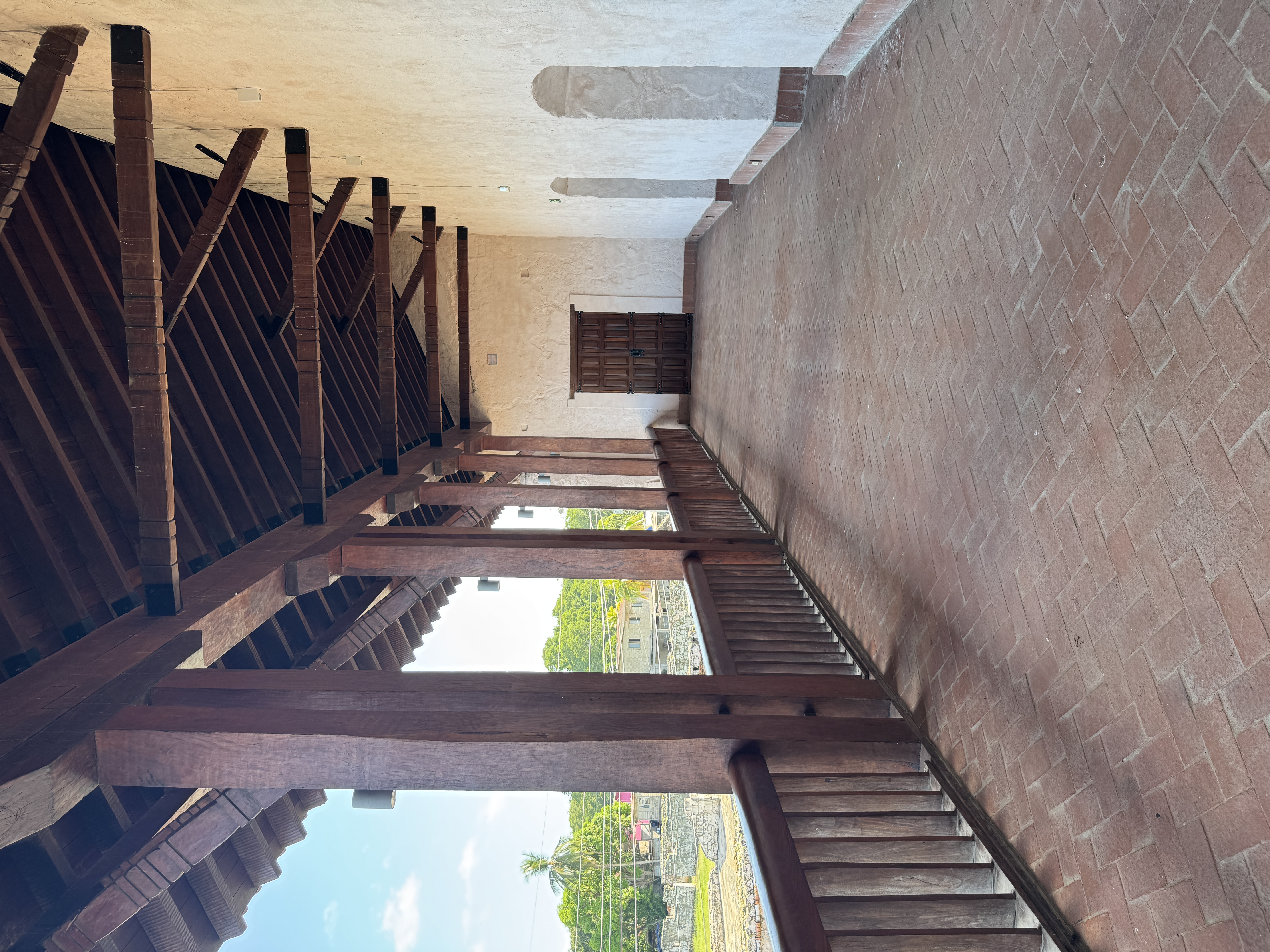
The interior is two long rooms deep, and parts are used as a museum.
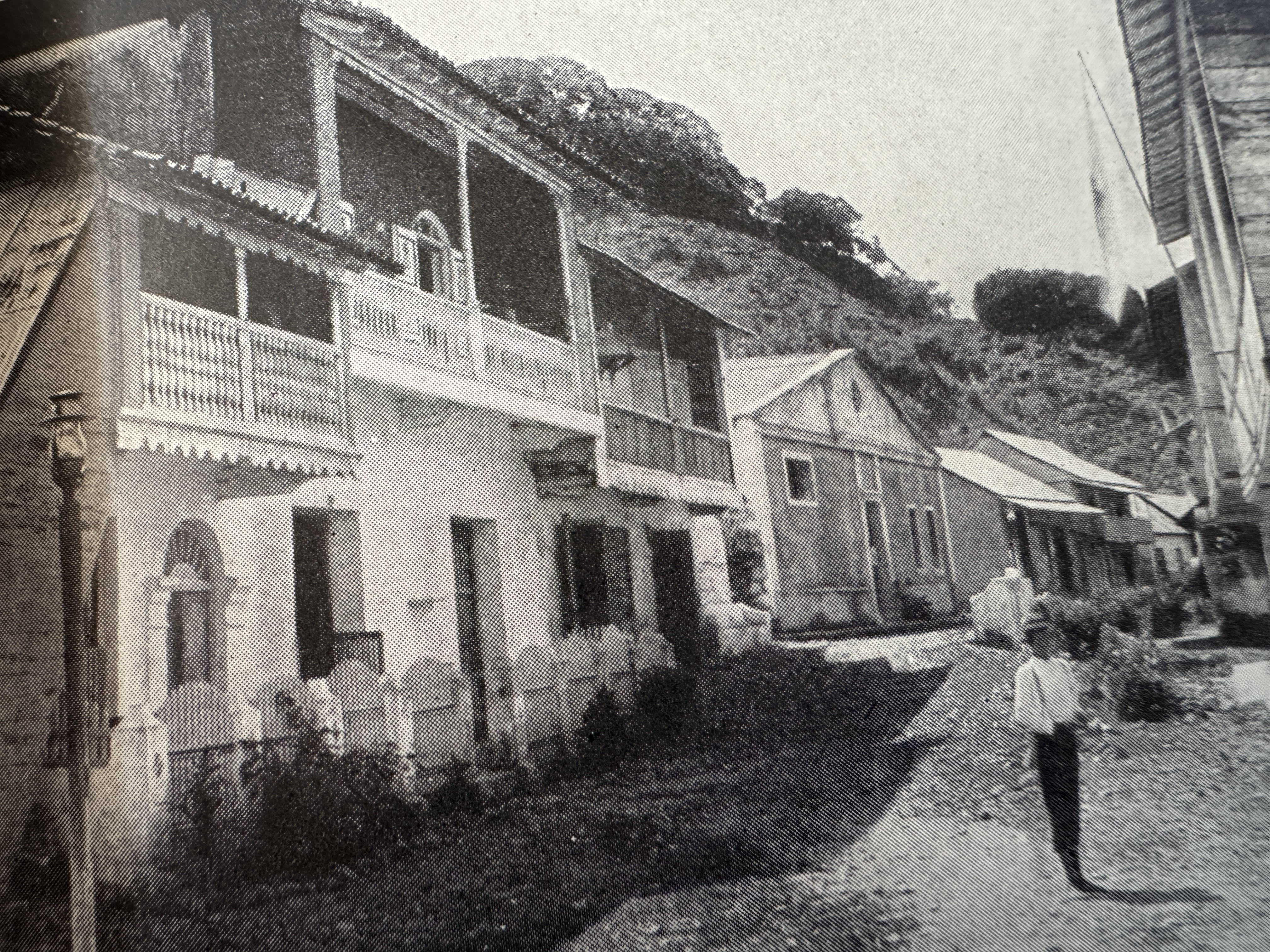
Here's the town, intrusion-free about 1910. (Joseph Bucklin Bishop, The Panama Gateway, 1913, p. 30)
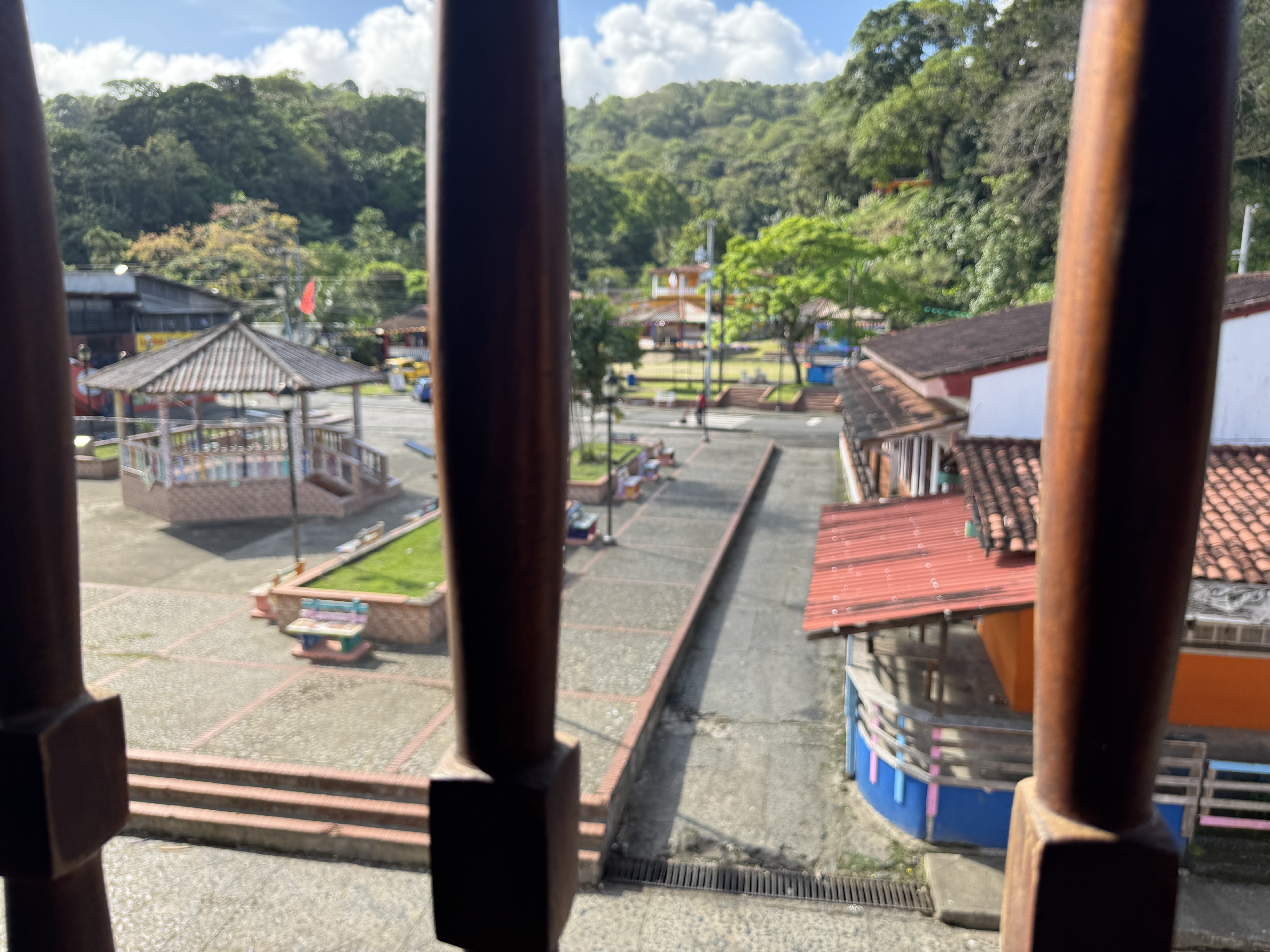
Here's a bit of the town today, as seen from the custom-house balcony.
View from the water side of the building.
Sorry, it just doesn't bother me.
There's more restoration work that could be done. What was this? I have no idea. I'd like to know, but do I want the building resurrected? I think not.
I did look but did not find the terminus of the Camino Real. Apparently, villagers still used the road as late as 1912. Here's a river crossed by the highway just south of town.
Here's another, the Rio Cascaja, which the trail followed.
There are stubs of modern road, but no indication that they cross the Camino Real.
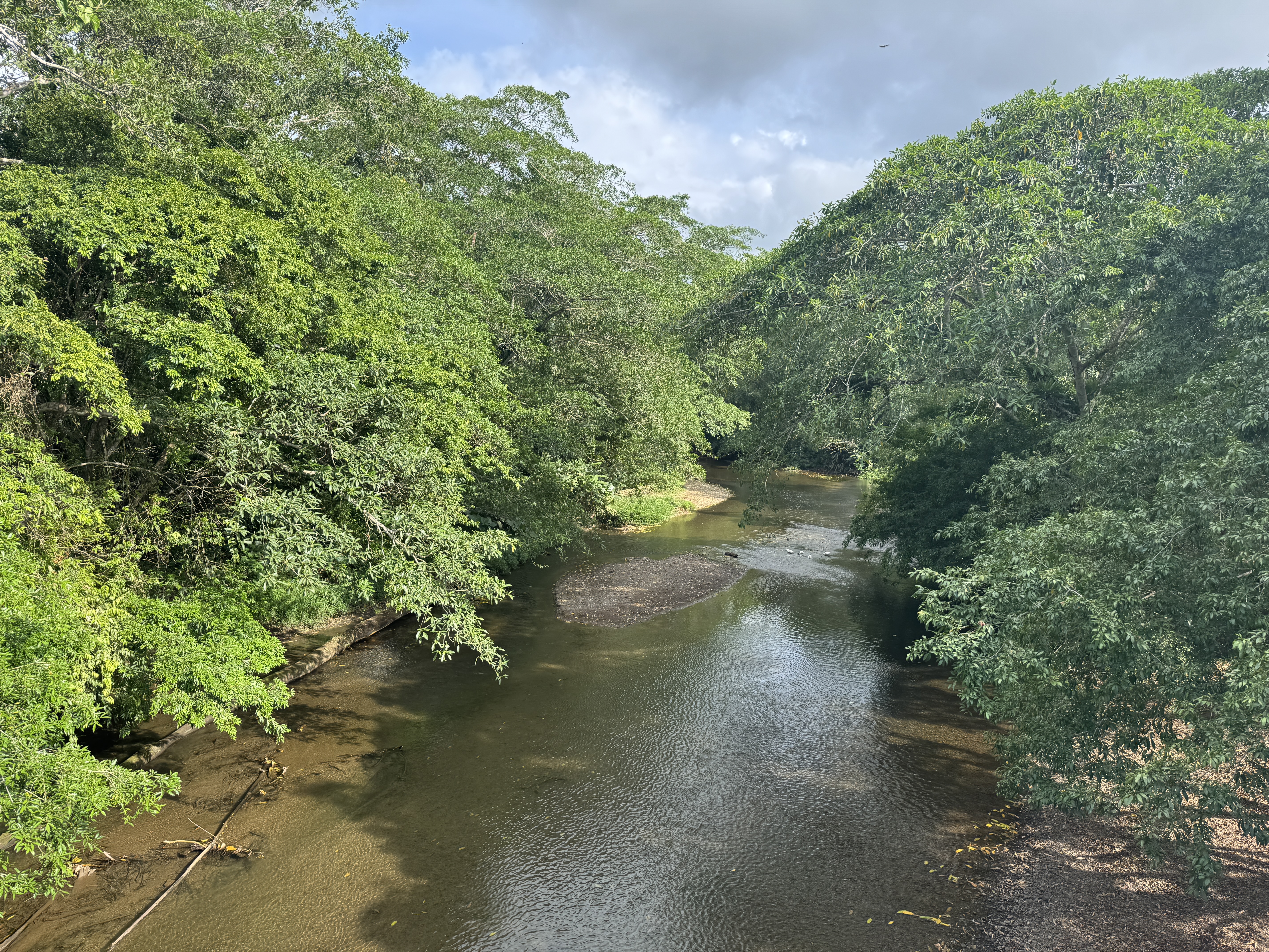
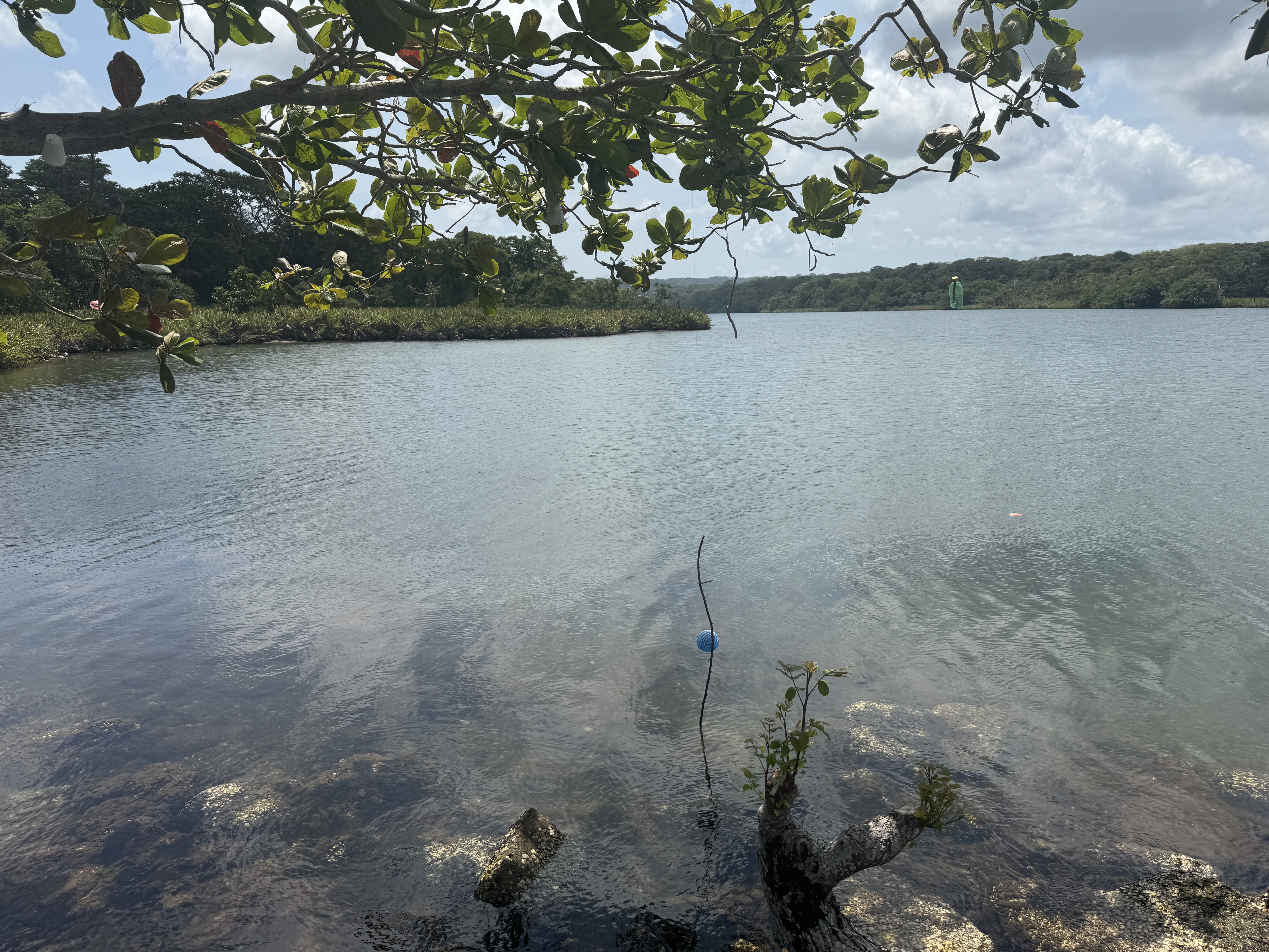
And so to the third port, this one at the mouth of the Chagres River. This is where the 49ers landed and raced across the isthmus by boat to Cruces and then by foot to Panama City, where they fretted while waiting for a ship to California. Nobody seems to have had anything good to say about the village of Chagres, now-vanished but on the other side of the river here. "A retired judge might be accosted as a boatman, and an ex-Governor from the States was equally subjected to be taken for a porter.... It was a great place for the study of character...such an exquisite refinement of bad lodgings and worse fare, such an affluence of buggy coast, and such a poverty of wholesome bed-clothing, such filth on the levee and the beach, and such a sickening stench in the air." (Joseph W. Fabens, A Story of Life on the Isthmus, 1853, pp. 10-12)
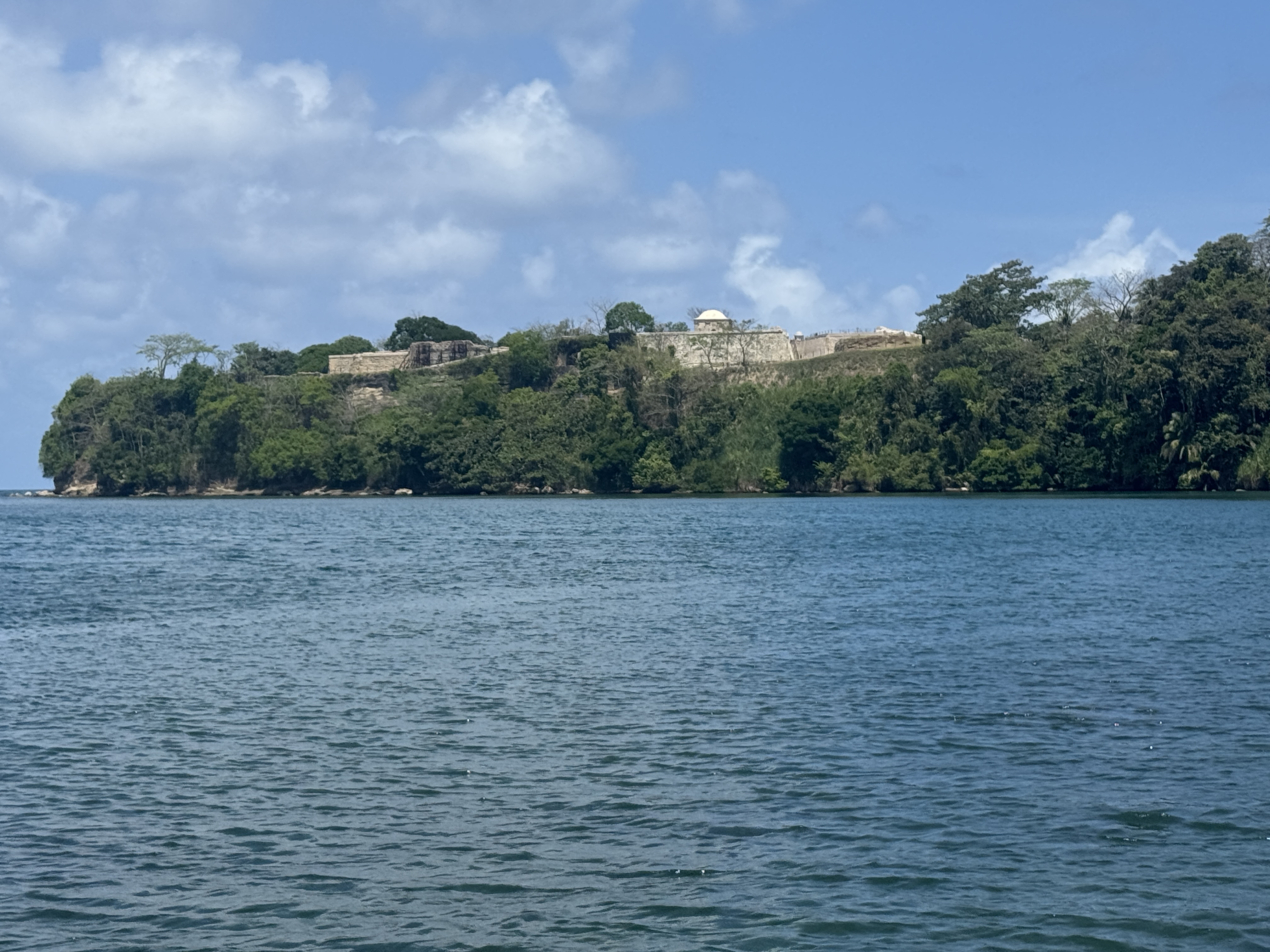
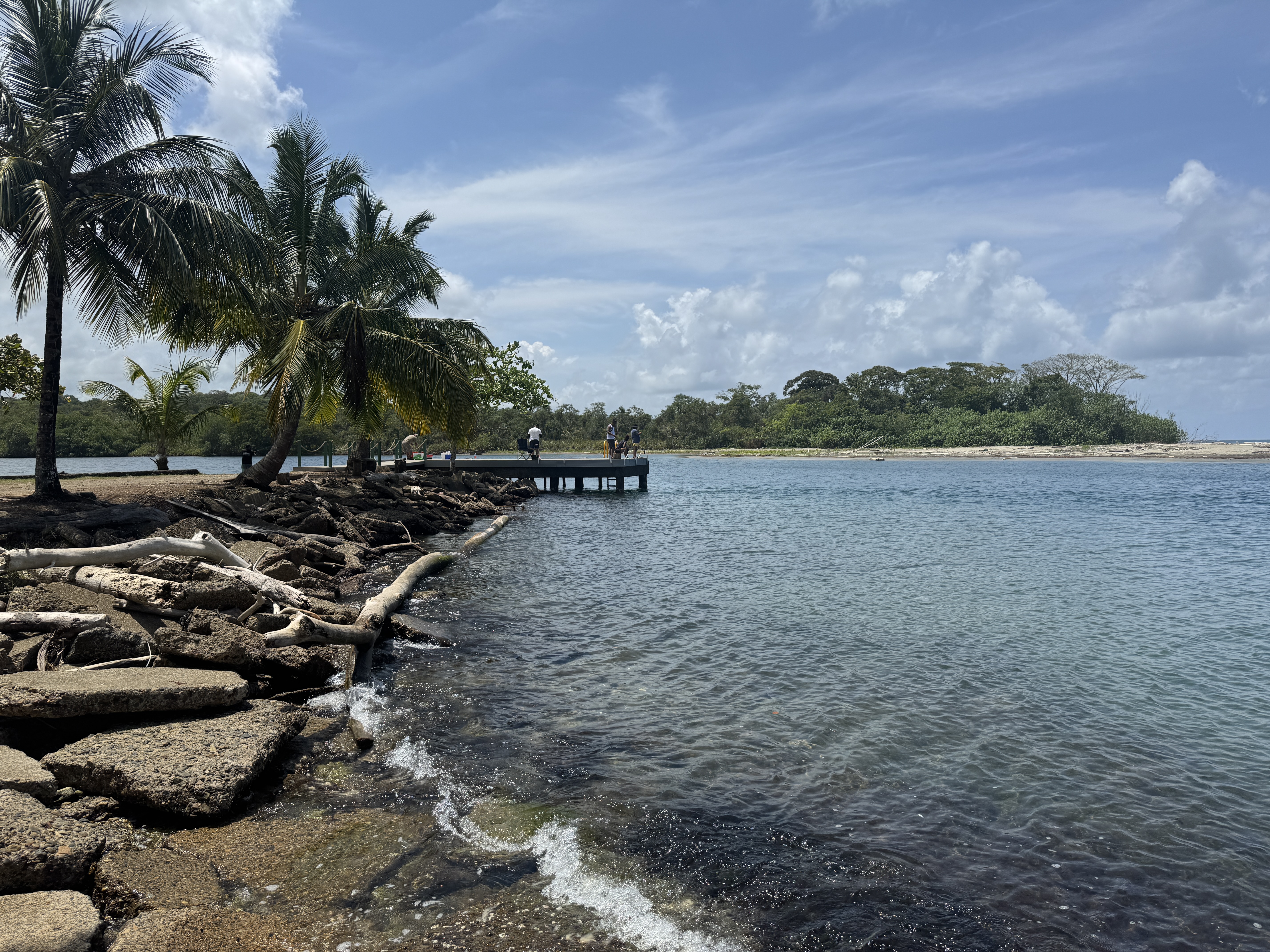
150,000 people crossed the isthmus between 1849 and 1852. At least some of them looked up from the beach toward these ruins of Fort Lorenzo, packaged now with Portobelo into a single UNESCO World Heritage Site called "Fortifications on the Caribbean Side of Panama."
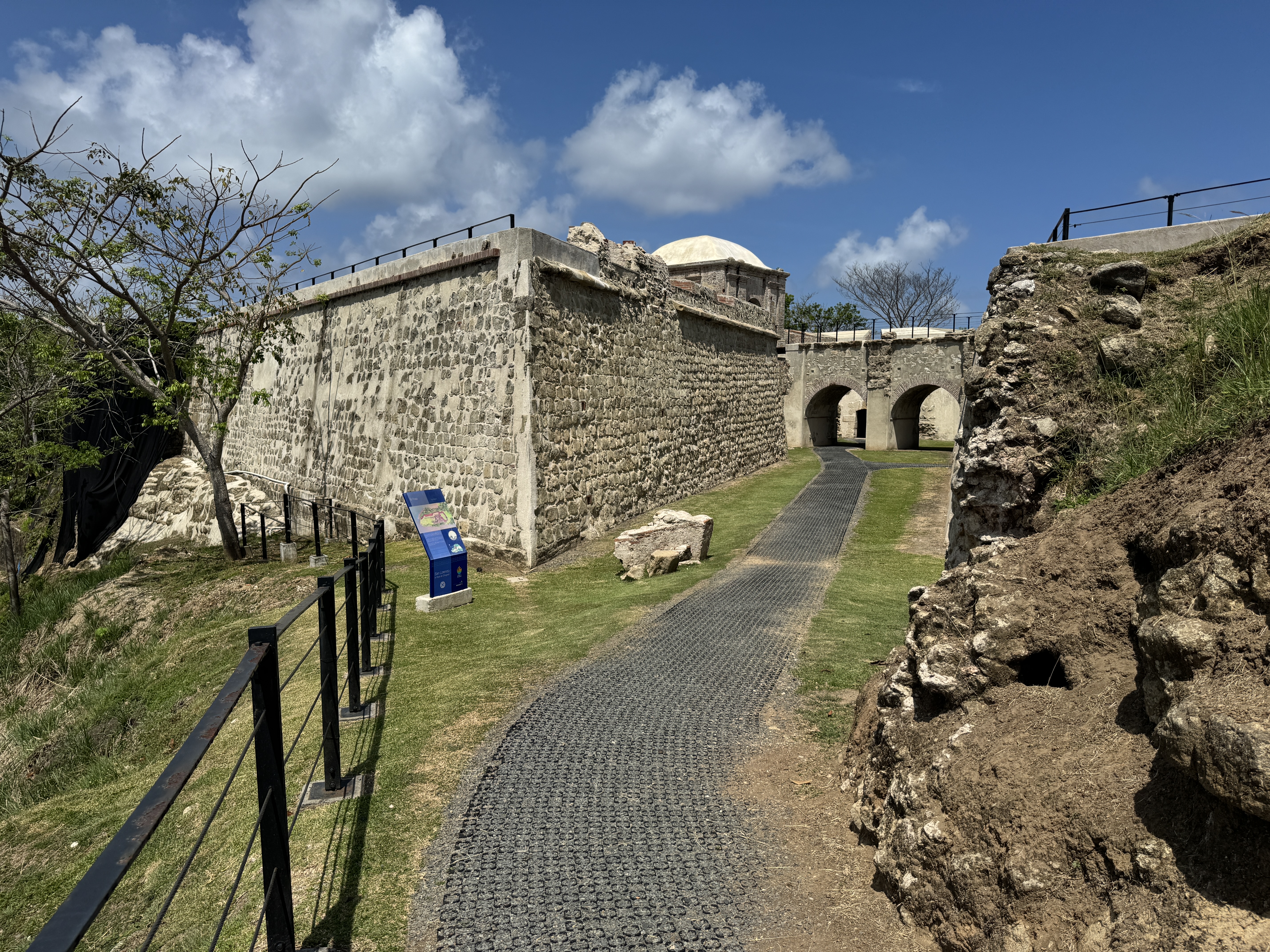
It's been restored now to within an inch of its life, but John M. Letts, who came in 1849, wrote, "We visited the fortifications, which were in a dilapidated state, the walls fast falling to decay. The only sentinels at the time of our visit, were three goats and two children. It has a commanding position, and has been a work of much strength, but the guns are now dismounted...." (Letts wrote anonymously as "A Returned Californian." His book is California Illustrated, Including a Description of the Panama and Nicaragua Routes, 1852, p. 11.)
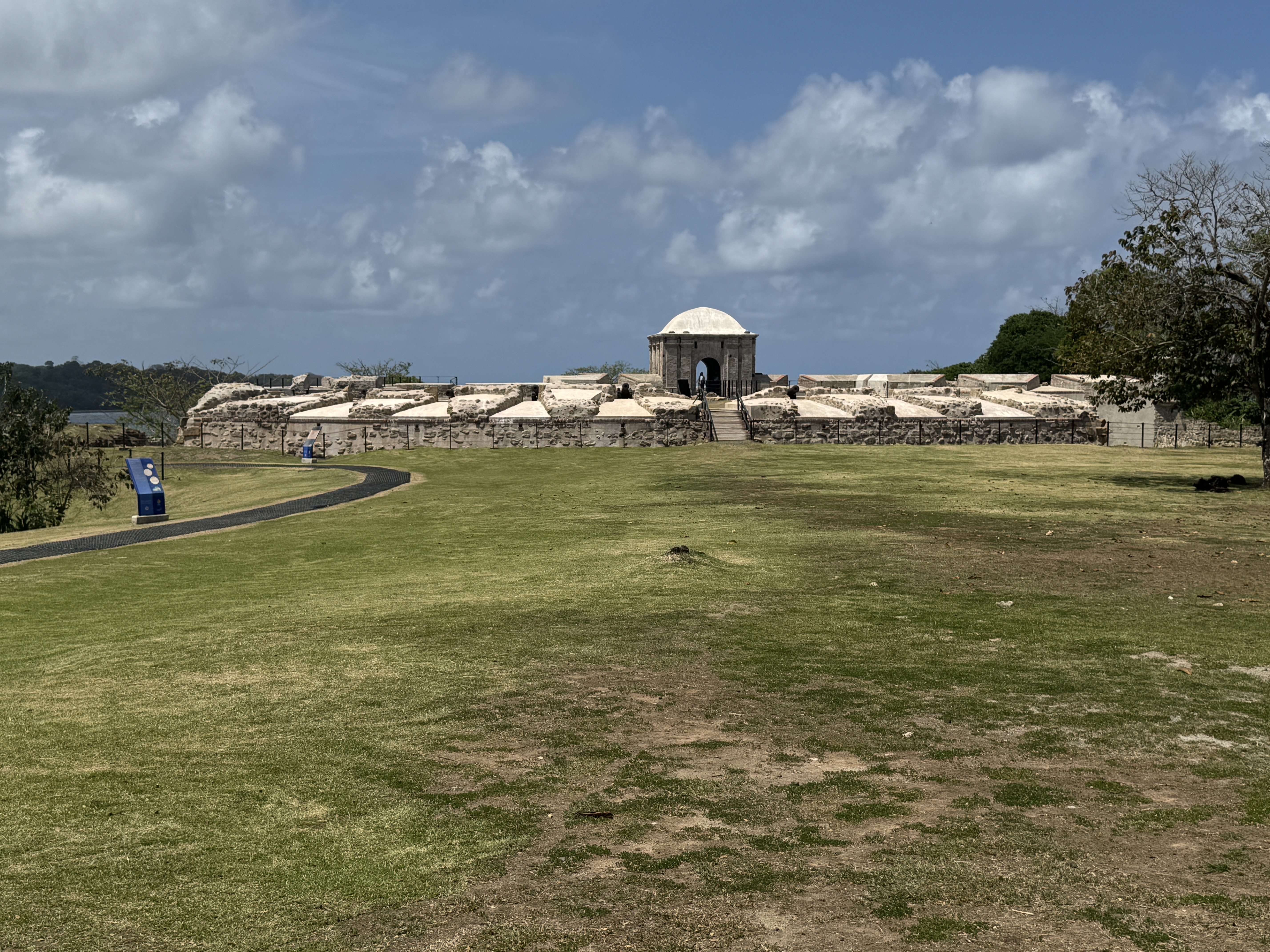
Built first in 1595, San Lorenzo was destroyed by Henry Morgan in 1671. (He didn't stay long and hurried over the isthmus to sack Panama City.) The fort was quickly rebuilt but was bombed to smithereens sixty years later by Royal Navy ships under the command of the same Admiral Edward Vernon who had had a go at Porto Belo. The fort was rebuilt again about 1760, so the ruins seen by Letts in 1849 were not very old. Think what we see here will last any longer? It's not a rhetorical question. By the way, the curved wall is a restored luneta, originally moated to guard against attack from land.
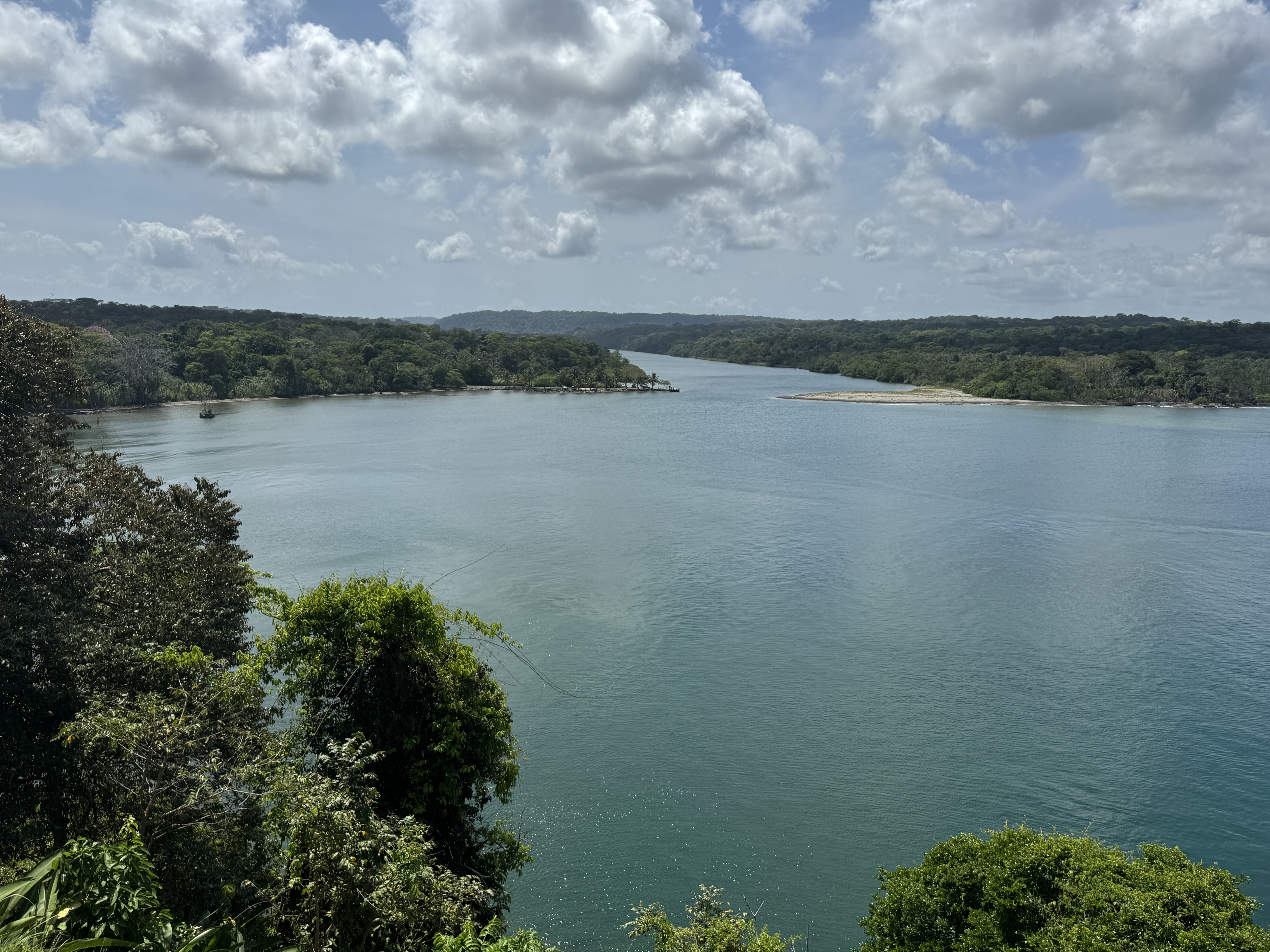
The view down from the fort to the Chagres. It's hard to believe that there used to be a village down there, but Letts writes of "thirty huts constructed of reeds, and thatched with palm-leaves, the inhabitants, the most squalid set of beings imaginable." Bayard Taylor arrived in the same year. He looked around for a place where he could get something to eat. It took a while, but "some of my friends had fared better at one of the native huts, and I sat down to the remains of their meal, which was spread on a hen-coop... The pigs of the vicinity ... surrounded me to offer their services... Some pieces of pork fat, with fresh bread and a draught of sweet spring water from a cocoa shell, made me a delicious repast." Is Taylor sarcastic? I doubt it. Like Letts, he was young. He was also lucky enough not to get "Panama fever." Many visitors did, like John C. Fremont who. crossing in the fall of 1850, was temporarily paralyzed on his left side. (Bayard Taylor, Eldorado, Adventures in the Path of Empire, 1850, pp. 11-12.)
Jessie Benton Fremont, John's wife, crossed the isthmus without him in 1848 and decades later recalled that, "When we reached Chagres, if it had not been for pure shame, and unwillingness that my father should think badly of me, I would have returned to New York on the steamer, as the captain begged, putting before me such a list of dangers to health, and discomforts and risks of every kind, as to kill my courage." (Jessie Benton Fremont, A Year of American Travel, 1878, p. 40)
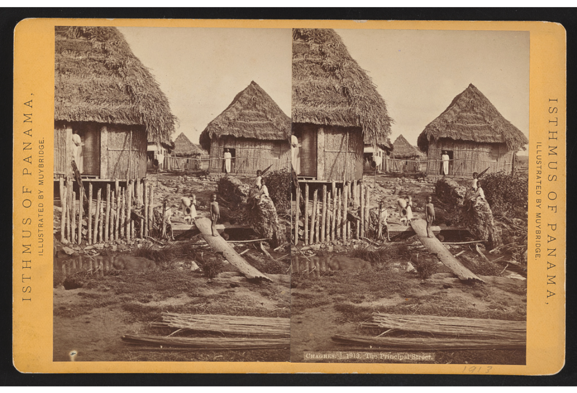
A medical doctor arrived and wrote, "I took a stroll along this smallest, and altogether most miserable place in the world." Here's a photo taken by Edward Muybridge 25 years later. By then, sensible people who wanted to cross the isthmus took the train from Col n. Even when the track was completed only halfway across the isthmus, customers were happy to ride on flat cars to the temporary end of the line and walk from there. Lola Montez did just that in 1852 on her way to California. (Chauncey D. Griswold, The Isthmus of Panama, and What I Saw There, 1852, p. 136) https://www.loc.gov/resource/stereo.1s47880/)
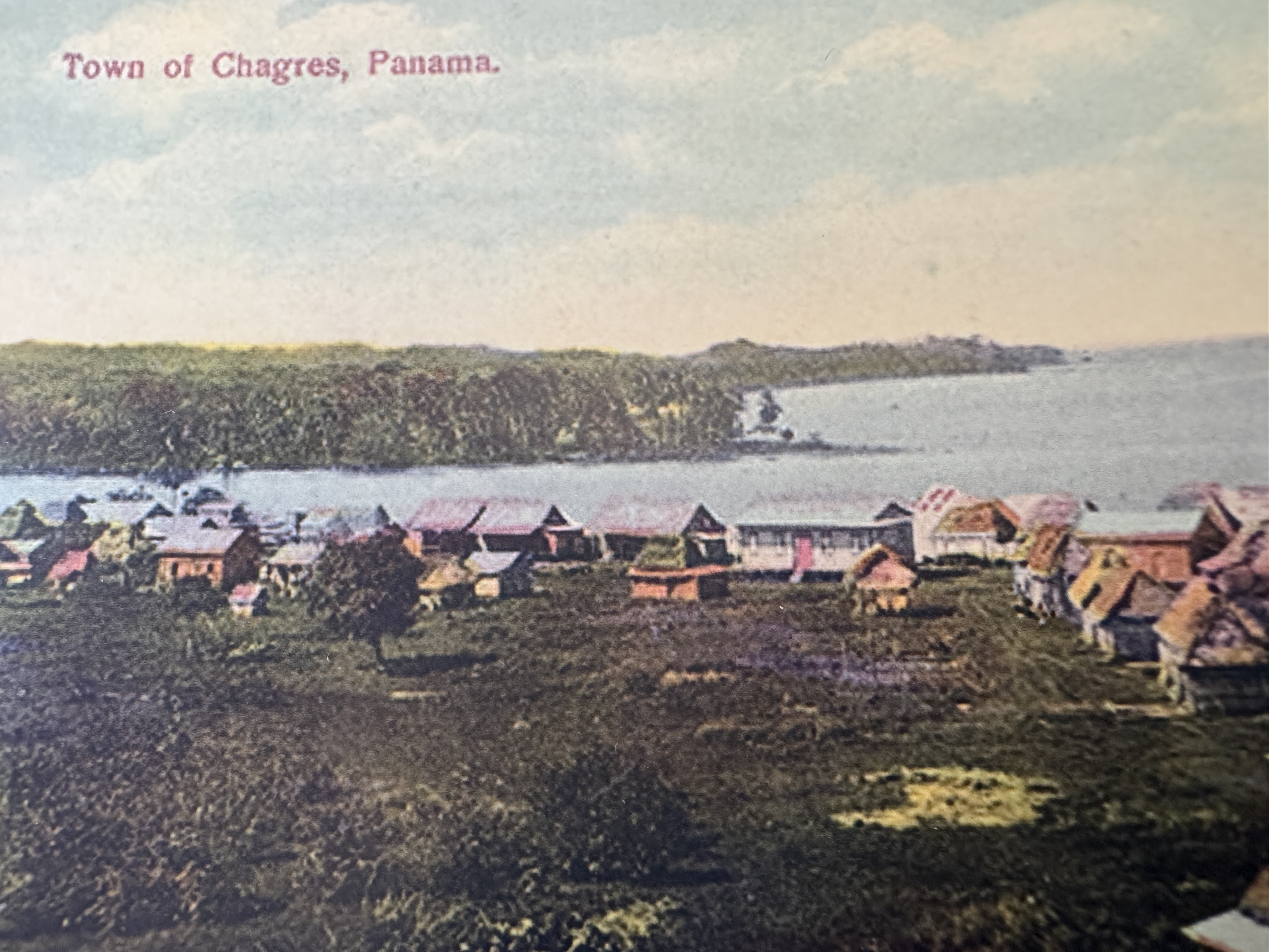
An Americanized town sprouted on the other side of the river's mouth. It must have had a very short life. I saw no sign of it.
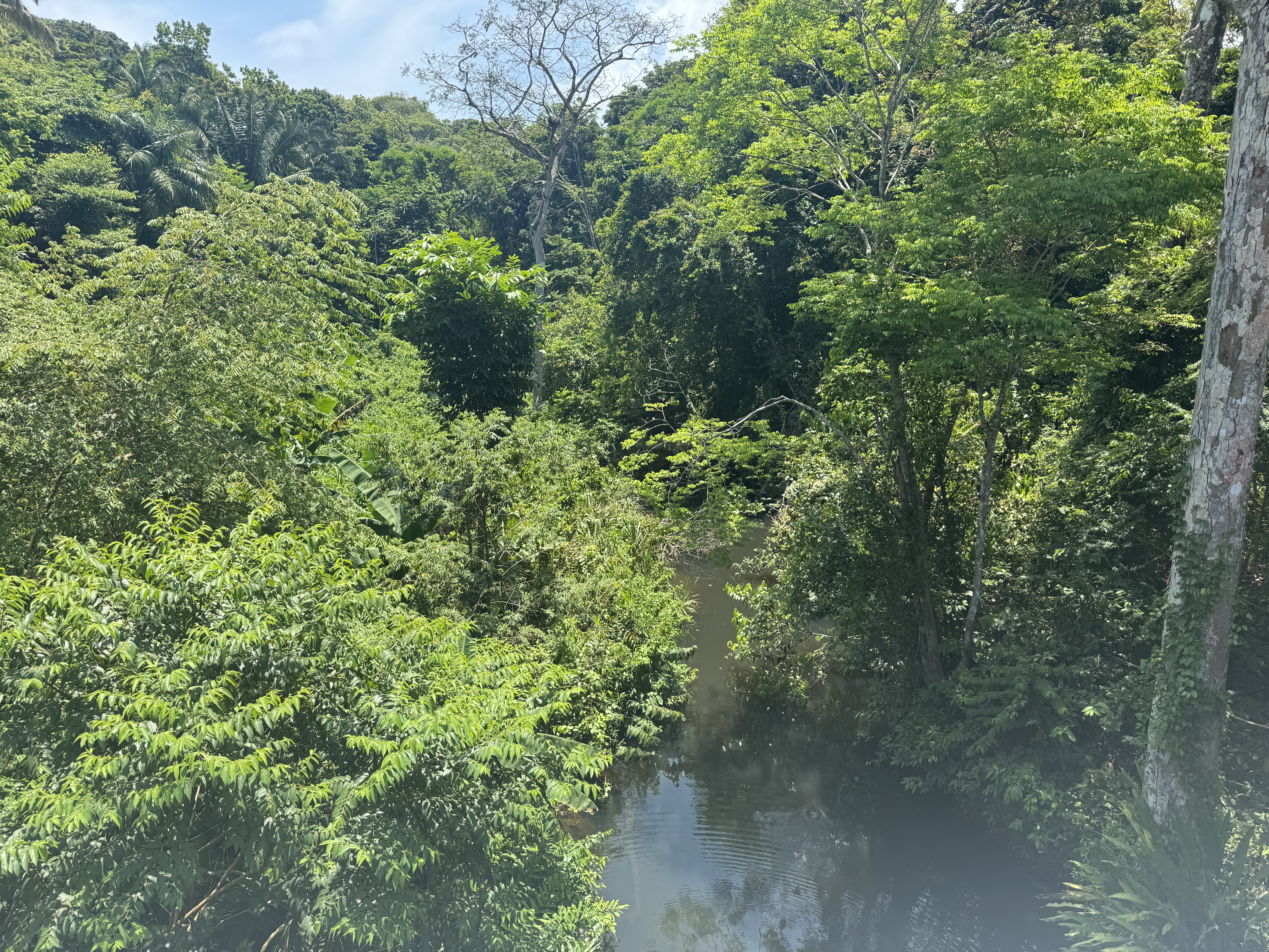
People travelled upstream by boats either poled or rowed. Some sailed or, later, found boats powered by steam. Bayard Taylor had fun: "There is nothing in the world comparable to these forests.... All outline of the landscape is lost in the deluge of vegetation." Jessie Benton Fremont wasn't so keen: "...with the dropping of the sun, rose not only the moon, but the discordant noises of night in the tropical forests, a hideous, confusing rush of sound without." She was in a tent, but "persons sleeping on shore even one night forfeited their life-insurance." This seems not to have been rhetorical, because Letts says the same thing. (Taylor, Eldorado, p. 14; Fremont, A Year of American Travel, pp. 44-45; Letts, California Illustrated, p.14)
People didn't stick around at Chagres any longer than necessary, especially after "a returning Californian had just reached the place, with a box containing $33,000 in gold-dust, and a four-pound lump in one hand...." Taylor wrote that "life and death were small matters compared with immediate departure." He himself was lucky enough to find a spot on "an immense canoe, or 'dug-out,' manned by half-naked natives." Letts wasn't so lucky: "We saw but one alternative, which was, to construct a boat ourselves, and work it up the river. Upon this we decided, and purchasing the temporary berths of our vessel, soon had a boat on the stocks, 6 feet by 19, and in three days it was afloat... she was probably the first American-bottom ever launched at this port." Fremont, her trip organized by William Aspinall of the yet unbuilt Panama Railroad, had it much easier. "It took a long time to make these thirty miles of river travel, for we were only poled along against the stiff current of this mountain river." Then trouble: her brother-in-law, Richard Jacob, ignored instructions and impatiently jumped out of the boat and into the water. "Suddenly his eyes rolled back in his head and he fell prostrate from sunstroke." A couple of days later he turned around and went back to New York. He survived and a dozen years later was governor of Kentucky. (Bayard Taylor, Eldorado, p. 12; Letts, California Illustrated, p. 16; Fremont, A Year of American Travel, p. 47)
On his fourth night on the river, Taylor wrote, "Our men began repeating the ominous words: "Cruces--mucha colera." Taylor didn't get sick, but Ulysses Grant came through in 1852 and his men weren't so lucky. For lack of mules, his regiment got marooned with families, tents, and baggage at Cruces. "I was about a week at Cruces before transportation began to come in. About one-third of the people with me died, either at Cruces or on the way to Panama." (Bayard Taylor, Eldorado, 1852, p. 20, Ulysses S. Grant, Personal Memoirs, 1885, vol. 1, p. 197)
Here's a map from 1829 showing the Chagres River and, just above its bend, the village of Cruces, where travellers left their canoes and began walking or riding the 20 miles to Panama City. https://www.lindahall.org/experience/digital-exhibitions/the-land-divided-the-world-united/04-prelude-to-the-railroad/
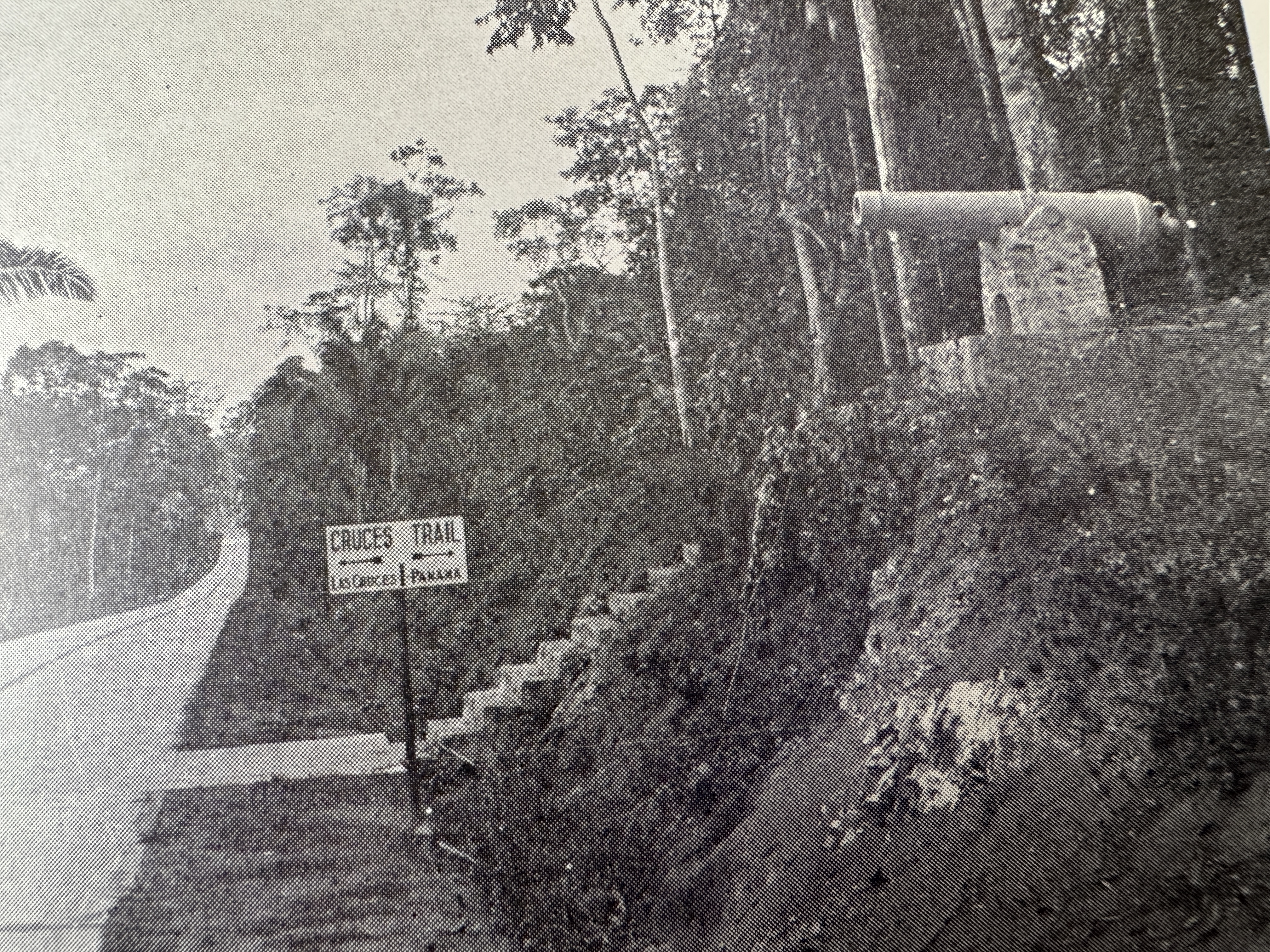
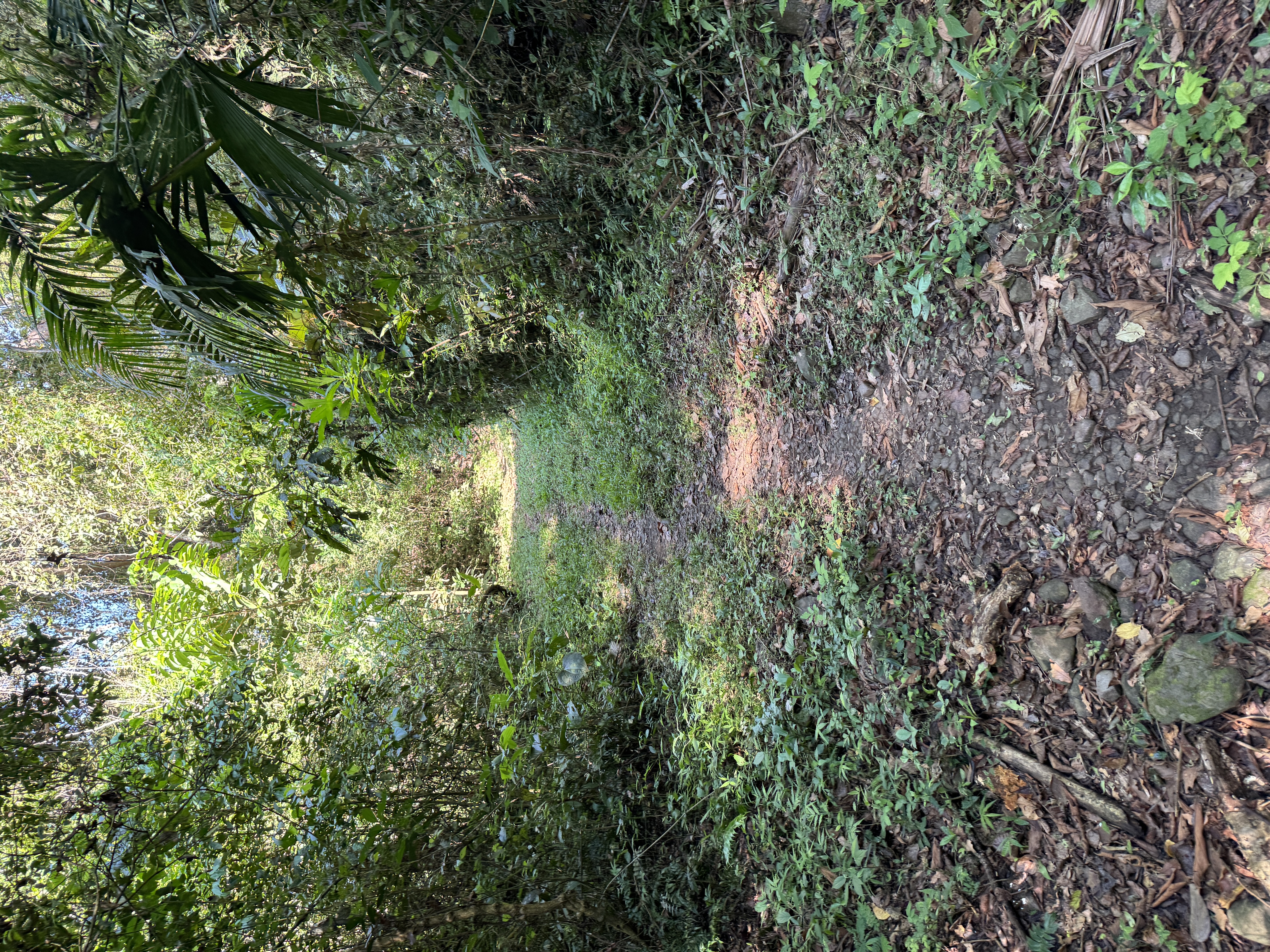
Find the trail today? Not so easy. Oddly enough, there used to be a helpful sign. Is it still in place? I wish I knew. I would have gone looking if I had seen this picture before going to Panama. The caption says it's on the Madden Highway, which I would have driven but didn't from sheer ignorance. (The Panama Canal Twenty-Fifth Anniversary, 1939, p. 97.)
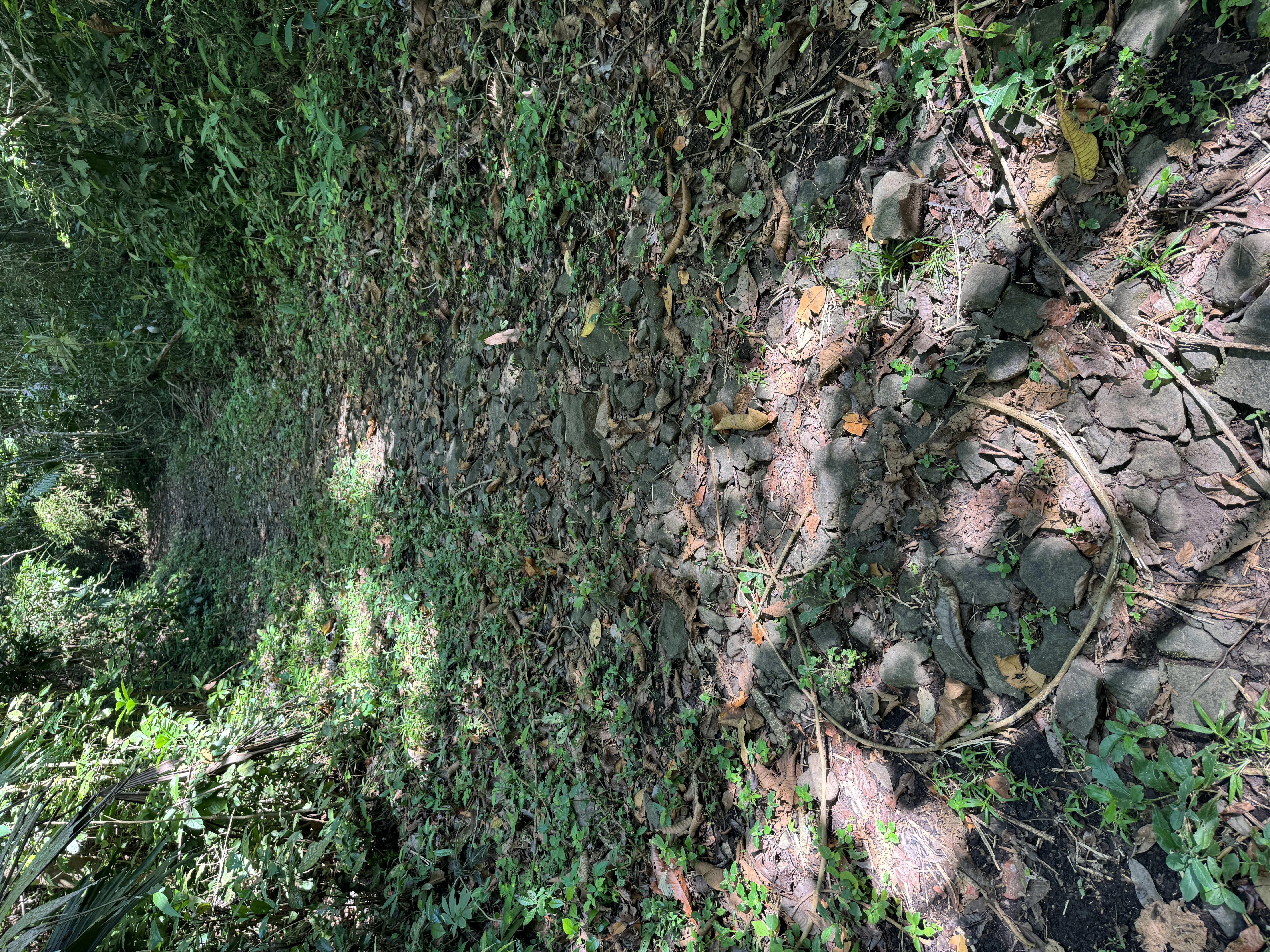
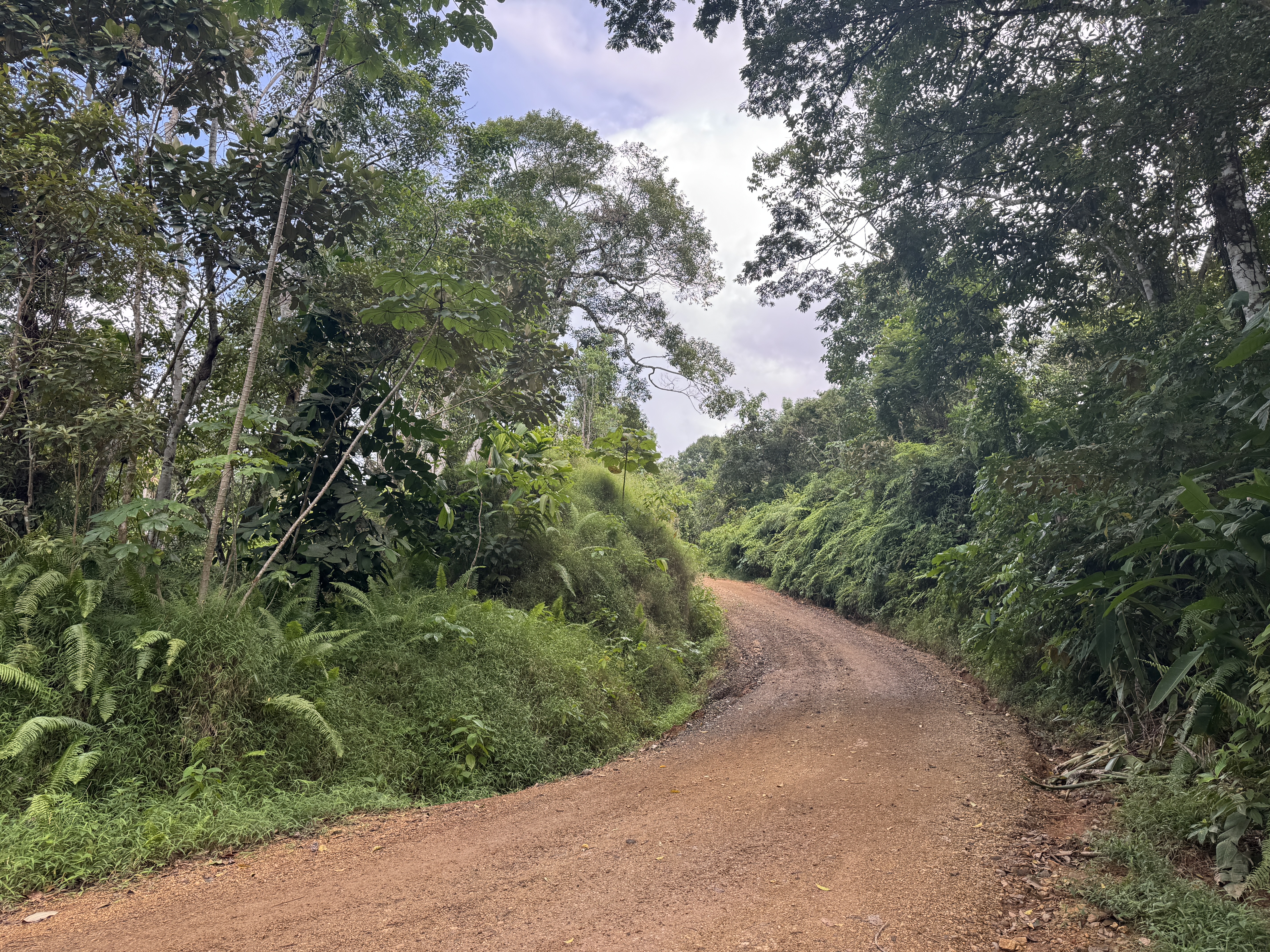
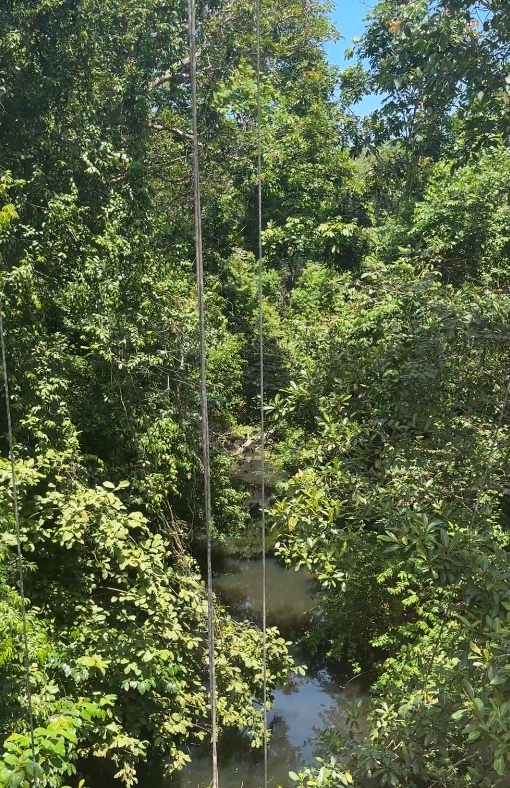
I did find this bit of the trail. It's a 10- or 15- minute walk from the visitor center at the Parque Nacional Camino de Cruces, about two miles east of Paraiso. Is it a representative section? Good question. You might think so from Letts' account: "I purchased a horse, and started for Panama, twenty-five miles distant. It is a pleasant ride across, being a succession of mountains and valleys, each valley containing a spring-brook of the purest water." On the other hand, there's the Jessie Fremont version: "This trail followed the face of the country as it presented itself--straight up the sides of the steepest heights to the summit, then straight down them again to the base. No bridges across the rapid streams.... There were very narrow defiles worn through the rock where we could only go in single file, and even the men sat sidewise, because there was not room to sit as usual." (Letts, California Illustrated, p. 28; Fremont, A Year of American Travel, p. 51)
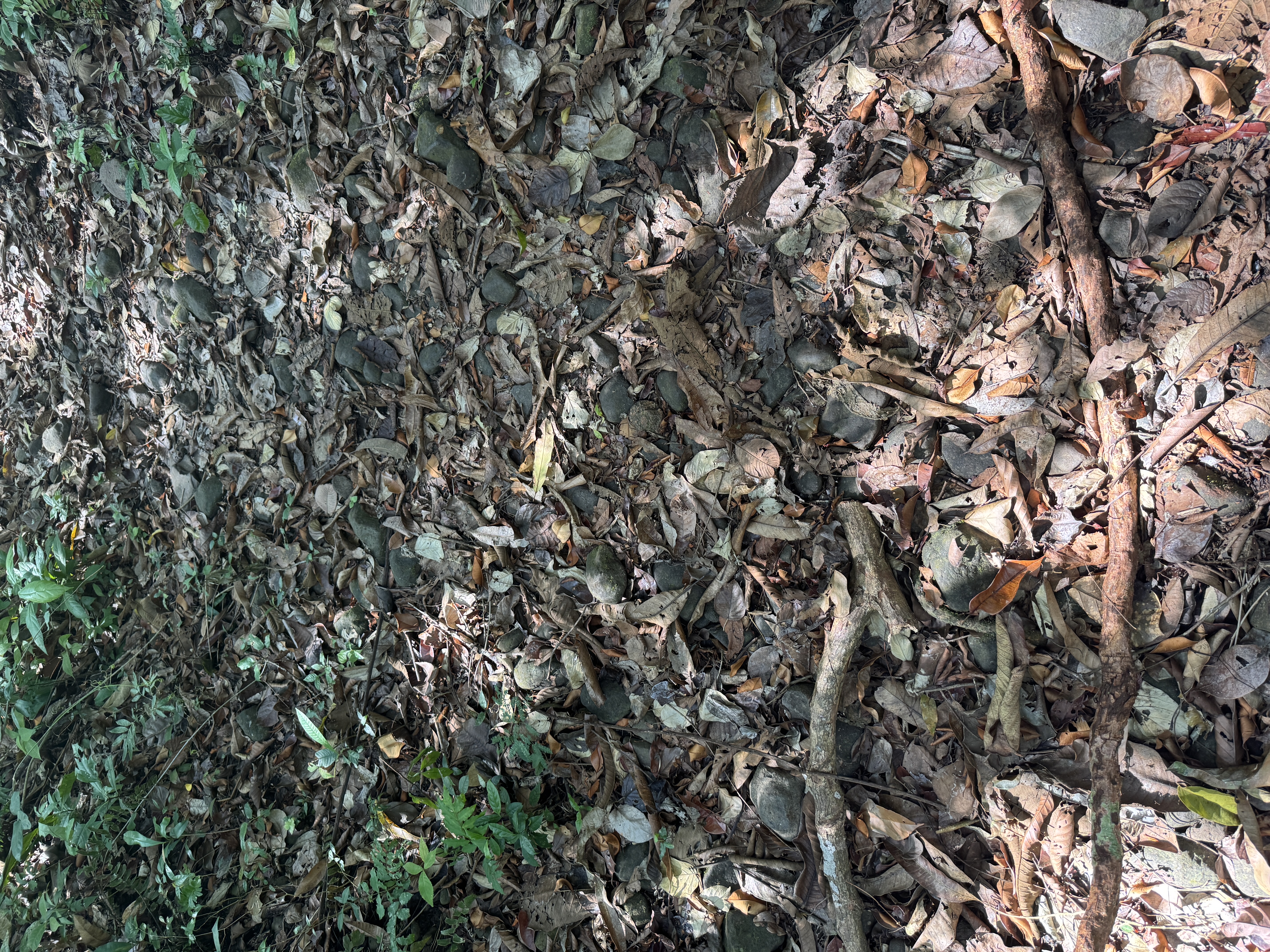
Harry A. Franck, who worked as a Zone policeman in 1912, left this description, still fairly accurate: "Then came the real Cruces trail... as it was when the Peruvian viceroys and their glittering trains clattered along it, surprisingly well preserved: a cobbled way some three feet wide of the rough and bumpy surface... broken in places but still well marked, leading away southward through the wilderness." (Harry A. Franck, Zone Policeman 88, 1913, pp. 286-7)
In places, it's surprisingly straight. Bayard Taylor concluded his own account of the trip by saying, "It was rough enough, but had nothing that I could exactly call hardship, so much was the fatigue balanced by the enjoyment of unsurpassed scenery and a continual sensation of novelty. In spite of the many dolorous accounts which have been sent from the isthmus, there is nothing, at the worst season, to deter any one from the journey." Color me skeptical. (Taylor, Eldorado, p. 25)
Here's the isthmus 20 years later, when the railroad route had been decided and construction begun. (https://www.lindahall.org/experience/digital-exhibitions/the-land-divided-the-world-united/04-prelude-to-the-railroad/)